Livonia is a village in the town of Livonia, Livingston County, New York, United States. U.S. Route 20A and Route 15 intersect in the village. The population was 1,409 at the 2010 census, out of 7,809 in the entire town.
| Name: | Livonia village |
|---|---|
| LSAD Code: | 47 |
| LSAD Description: | village (suffix) |
| State: | New York |
| County: | Livingston County |
| Elevation: | 1,033 ft (315 m) |
| Total Area: | 1.01 sq mi (2.62 km²) |
| Land Area: | 1.01 sq mi (2.62 km²) |
| Water Area: | 0.00 sq mi (0.00 km²) |
| Total Population: | 1,472 |
| Population Density: | 1,453.11/sq mi (561.26/km²) |
| ZIP code: | 14487 |
| Area code: | 585 |
| FIPS code: | 3642950 |
| GNISfeature ID: | 0955754 |
| Website: | www.livoniany.org |
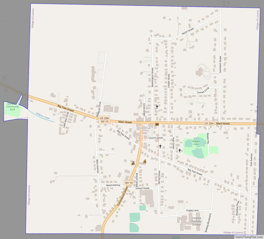
Online Interactive Map
Click on ![]() to view map in "full screen" mode.
to view map in "full screen" mode.
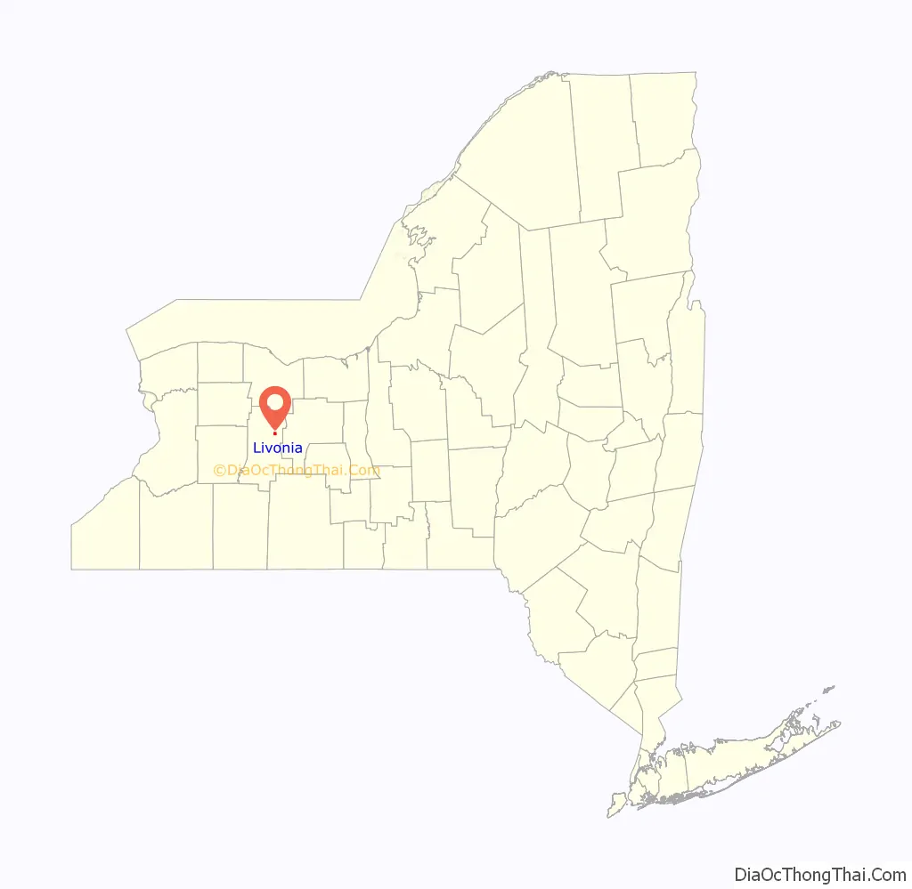
Livonia location map. Where is Livonia village?

History
The region was the territory for centuries of the Seneca people, one of the Five Nations of the Iroquois confederacy. They named the lake Ga-ne-a-sos, meaning “Berry Place”. It was transliterated into English as “Conesus.”
Solomon Woodruff, a native of Connecticut, settled here in 1789 as the first European American in the area, following the American Revolutionary War. The British ceded their territory to the United States without consulting with the Iroquois nations. Many of the Iroquois Native Americans were forced violently from the state, and settled primarily on a major reserve in Ontario.
The Seneca had to contend with Yankee settlers encroaching on their lands. Woodruff built a rough cabin, cleared a field, and planted his first crop of potatoes before returning to Connecticut for his family. He returned by oxcart with his wife to find that the Seneca had burned the cabin to the ground. (Their son died on the journey and was buried on a hilltop in Bristol, New York.) Woodruff rebuilt the cabin, and some of his descendants still reside in the area. He was buried in the Union cemetery.
The town developed between Conesus and Hemlock lakes, and was largely settled in the mid-19th century by ethnic European Americans from New England and New York. The construction of a railway line in the 1850s to Lakeville increased business opportunities and travel through the region.
The Livonia Baptist Church was added to the National Register of Historic Places in 1977.
Livonia Road Map
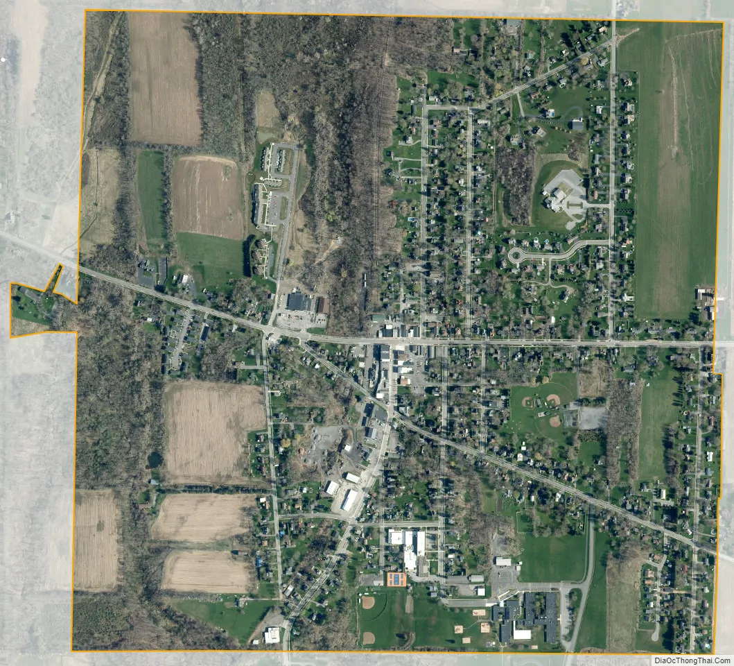
Livonia city Satellite Map
Geography
Livonia is located in northeastern Livingston County at 42°49′12″N 77°40′5″W / 42.82000°N 77.66806°W / 42.82000; -77.66806 (42.820009, -77.668176), slightly west of the geographic center of the town of Livonia. Unincorporated Livonia Center is 1.5 miles (2.4 km) to the east, and Lakeville, another unincorporated hamlet in the town, is 2 miles (3 km) to the west on Route 20A. Geneseo, the Livingston county seat, is 9 miles (14 km) to the west, and Rochester is 25 miles (40 km) to the north.
According to the United States Census Bureau, the village has a total area of 1.0 square mile (2.6 km), all land. Wilkins Creek, a tributary of Conesus Lake to the west, flows across the southwestern part of the village, and Little Conesus Creek rises in the northern part of the village. The entire village is within the Genesee River watershed.
See also
Map of New York State and its subdivision:- Albany
- Allegany
- Bronx
- Broome
- Cattaraugus
- Cayuga
- Chautauqua
- Chemung
- Chenango
- Clinton
- Columbia
- Cortland
- Delaware
- Dutchess
- Erie
- Essex
- Franklin
- Fulton
- Genesee
- Greene
- Hamilton
- Herkimer
- Jefferson
- Kings
- Lake Ontario
- Lewis
- Livingston
- Madison
- Monroe
- Montgomery
- Nassau
- New York
- Niagara
- Oneida
- Onondaga
- Ontario
- Orange
- Orleans
- Oswego
- Otsego
- Putnam
- Queens
- Rensselaer
- Richmond
- Rockland
- Saint Lawrence
- Saratoga
- Schenectady
- Schoharie
- Schuyler
- Seneca
- Steuben
- Suffolk
- Sullivan
- Tioga
- Tompkins
- Ulster
- Warren
- Washington
- Wayne
- Westchester
- Wyoming
- Yates
- Alabama
- Alaska
- Arizona
- Arkansas
- California
- Colorado
- Connecticut
- Delaware
- District of Columbia
- Florida
- Georgia
- Hawaii
- Idaho
- Illinois
- Indiana
- Iowa
- Kansas
- Kentucky
- Louisiana
- Maine
- Maryland
- Massachusetts
- Michigan
- Minnesota
- Mississippi
- Missouri
- Montana
- Nebraska
- Nevada
- New Hampshire
- New Jersey
- New Mexico
- New York
- North Carolina
- North Dakota
- Ohio
- Oklahoma
- Oregon
- Pennsylvania
- Rhode Island
- South Carolina
- South Dakota
- Tennessee
- Texas
- Utah
- Vermont
- Virginia
- Washington
- West Virginia
- Wisconsin
- Wyoming


