Lyndonville is a village in Orleans County, New York, United States. The population was 838 at the 2010 census. The name was selected because some of the early settlers were from Lyndon, Vermont. It is part of the Rochester Metropolitan Statistical Area.
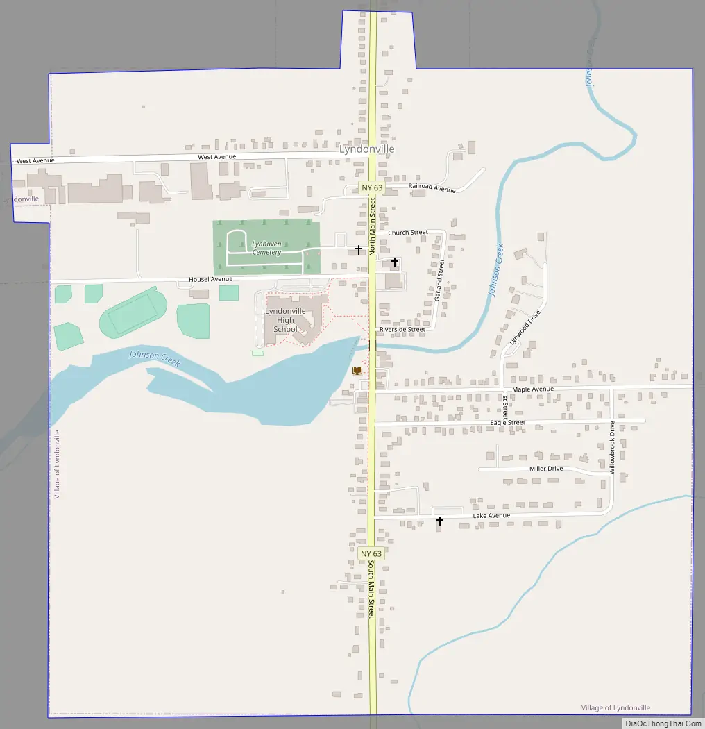
The Village of Lyndonville is within the borders of the Town of Yates.
| Name: | Lyndonville village |
|---|---|
| LSAD Code: | 47 |
| LSAD Description: | village (suffix) |
| State: | New York |
| County: | Orleans County |
| Elevation: | 322 ft (98 m) |
| Total Area: | 1.02 sq mi (2.65 km²) |
| Land Area: | 1.02 sq mi (2.65 km²) |
| Water Area: | 0.00 sq mi (0.00 km²) |
| Total Population: | 771 |
| Population Density: | 752.93/sq mi (290.57/km²) |
| ZIP code: | 14098 |
| Area code: | 585 |
| FIPS code: | 3643918 |
| GNISfeature ID: | 0956178 |
Online Interactive Map
Click on ![]() to view map in "full screen" mode.
to view map in "full screen" mode.
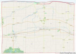
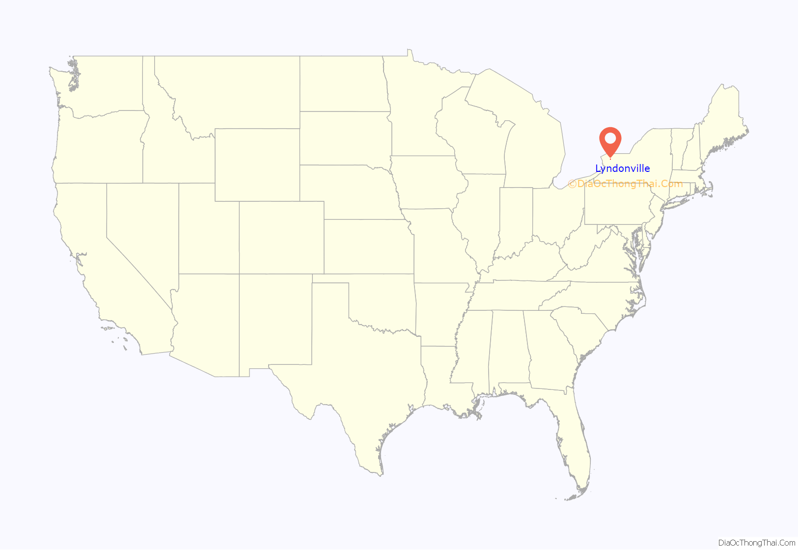
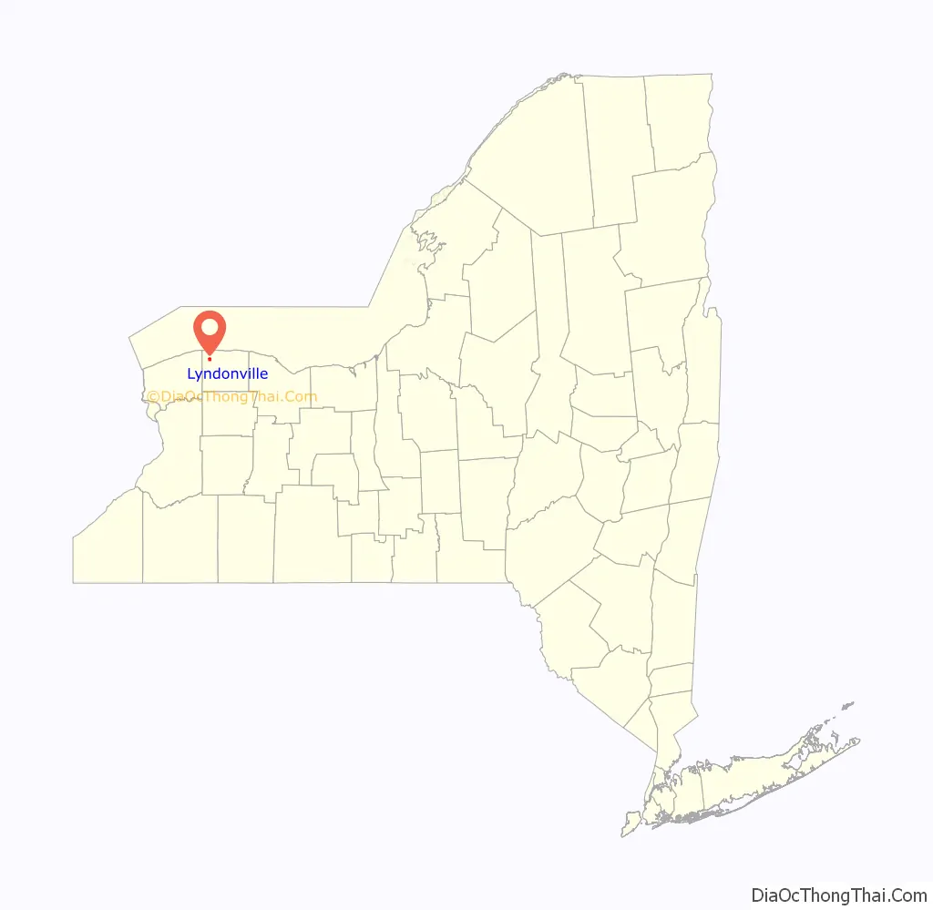
Lyndonville location map. Where is Lyndonville village?
History
The early settlers moved from Yates Center (north of Lyndonville) to take advantage of water power provided by Johnson’s Creek. One of the early settlers was Jackson Blood, whose cobblestone house was listed on the National Register of Historic Places in 2005.
The Village of Lyndonville was incorporated in 1903, separating itself from the Town of Yates.
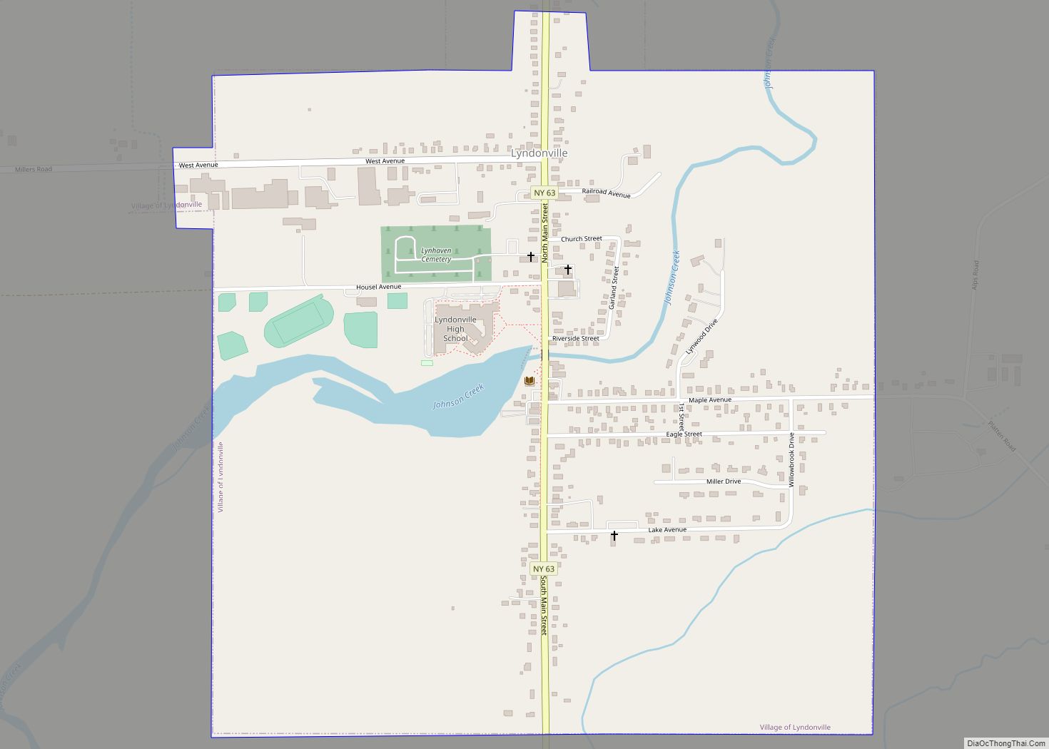
Lyndonville Road Map
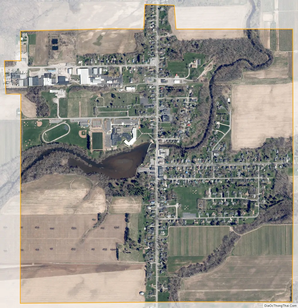
Lyndonville city Satellite Map
Geography
Lyndonville is located at 43°19′26″N 78°23′16″W / 43.32389°N 78.38778°W / 43.32389; -78.38778 (43.323786, -78.387697).
According to the United States Census Bureau, the village has a total area of 1.0 square mile (2.6 km), all land.
Lyndonville is located on north–south highway New York State Route 63 (North and South Main Street), south of its intersection with New York State Route 18. It is also about four miles south of Lake Ontario.
Johnson’s Creek flows through the village.
See also
Map of New York State and its subdivision:- Albany
- Allegany
- Bronx
- Broome
- Cattaraugus
- Cayuga
- Chautauqua
- Chemung
- Chenango
- Clinton
- Columbia
- Cortland
- Delaware
- Dutchess
- Erie
- Essex
- Franklin
- Fulton
- Genesee
- Greene
- Hamilton
- Herkimer
- Jefferson
- Kings
- Lake Ontario
- Lewis
- Livingston
- Madison
- Monroe
- Montgomery
- Nassau
- New York
- Niagara
- Oneida
- Onondaga
- Ontario
- Orange
- Orleans
- Oswego
- Otsego
- Putnam
- Queens
- Rensselaer
- Richmond
- Rockland
- Saint Lawrence
- Saratoga
- Schenectady
- Schoharie
- Schuyler
- Seneca
- Steuben
- Suffolk
- Sullivan
- Tioga
- Tompkins
- Ulster
- Warren
- Washington
- Wayne
- Westchester
- Wyoming
- Yates
- Alabama
- Alaska
- Arizona
- Arkansas
- California
- Colorado
- Connecticut
- Delaware
- District of Columbia
- Florida
- Georgia
- Hawaii
- Idaho
- Illinois
- Indiana
- Iowa
- Kansas
- Kentucky
- Louisiana
- Maine
- Maryland
- Massachusetts
- Michigan
- Minnesota
- Mississippi
- Missouri
- Montana
- Nebraska
- Nevada
- New Hampshire
- New Jersey
- New Mexico
- New York
- North Carolina
- North Dakota
- Ohio
- Oklahoma
- Oregon
- Pennsylvania
- Rhode Island
- South Carolina
- South Dakota
- Tennessee
- Texas
- Utah
- Vermont
- Virginia
- Washington
- West Virginia
- Wisconsin
- Wyoming