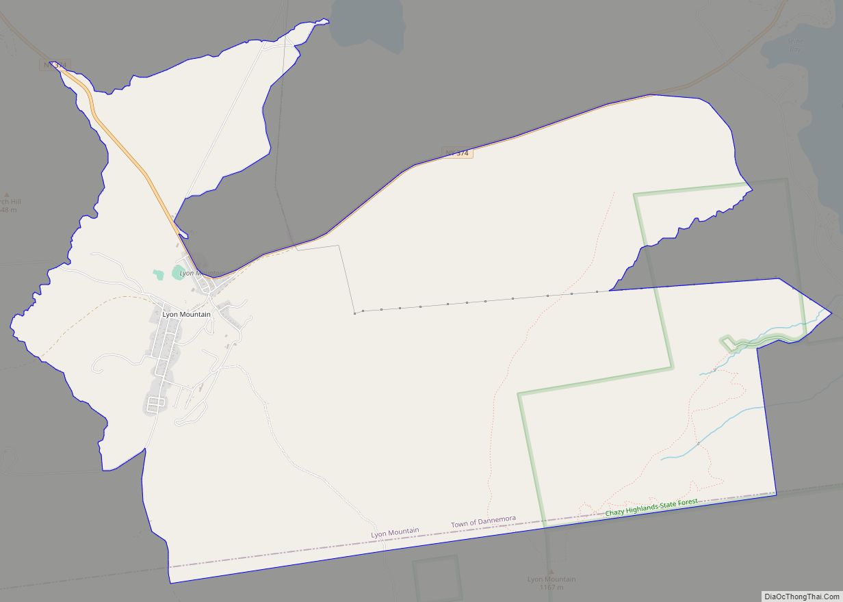
Lyon Mountain is a hamlet and census-designated place located in the town of Dannemora in Clinton County, New York, United States. The population was 423 at the 2010 census.
The northern slopes of Lyon Mountain are in the southern part of the community, with the 3,840-foot (1,170 m) summit to the south in the town of Saranac.
The Lyon Mountain Correctional Facility, a minimum security prison, was located in the community. The facility closed in 2011, and has been purchased by a Canadian who has mined sand for hydrofracking from the site.
| Name: | Lyon Mountain CDP |
|---|---|
| LSAD Code: | 57 |
| LSAD Description: | CDP (suffix) |
| State: | New York |
| County: | Clinton County |
| Elevation: | 1,798 ft (548 m) |
| Total Area: | 10.52 sq mi (27.25 km²) |
| Land Area: | 10.51 sq mi (27.23 km²) |
| Water Area: | 0.01 sq mi (0.02 km²) |
| Total Population: | 421 |
| Population Density: | 40.05/sq mi (15.46/km²) |
| ZIP code: | 12952, 12955 |
| Area code: | 518 |
| FIPS code: | 3643951 |
| GNISfeature ID: | 0956192 |
Online Interactive Map
Click on ![]() to view map in "full screen" mode.
to view map in "full screen" mode.
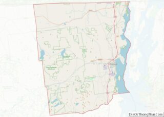
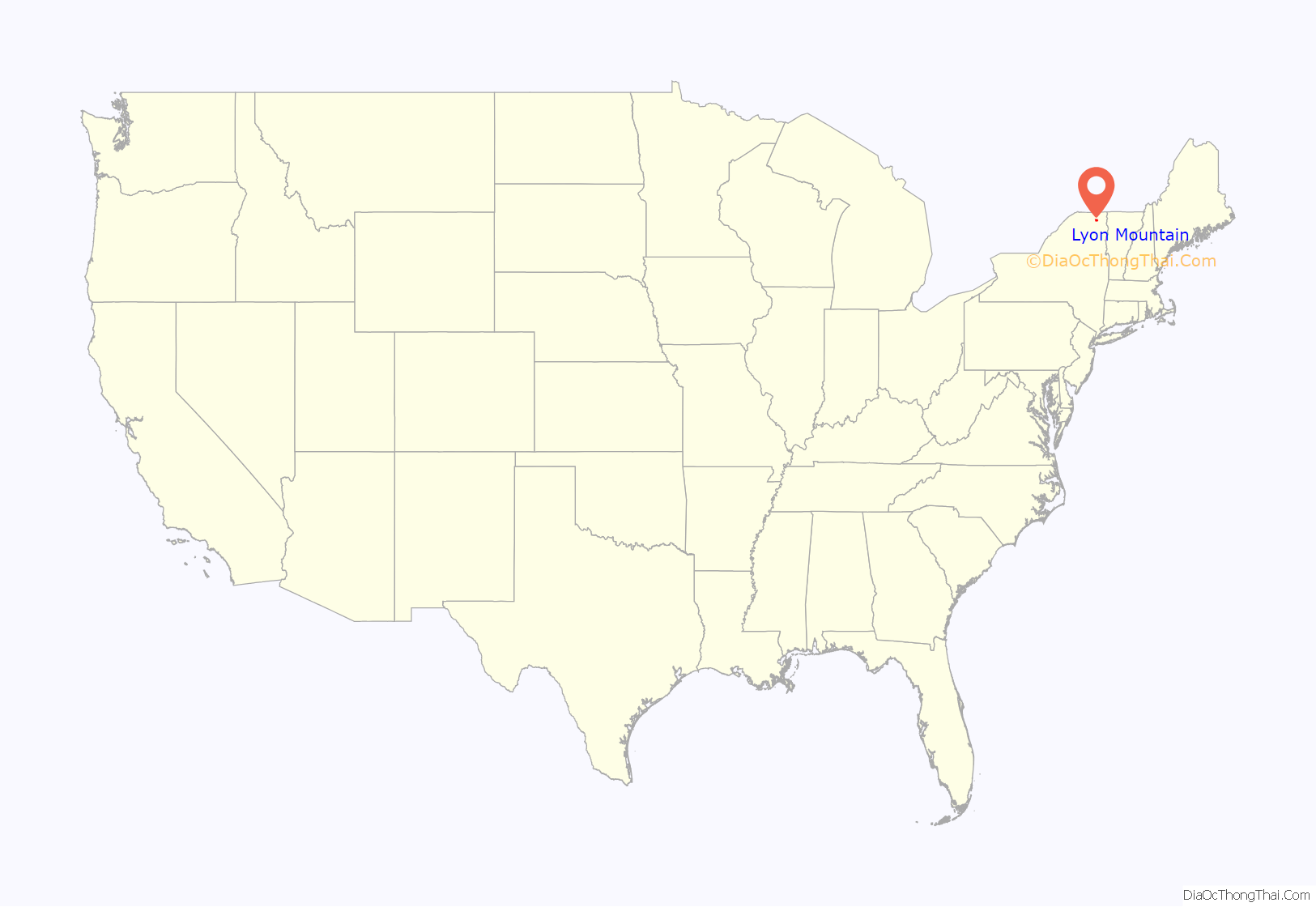
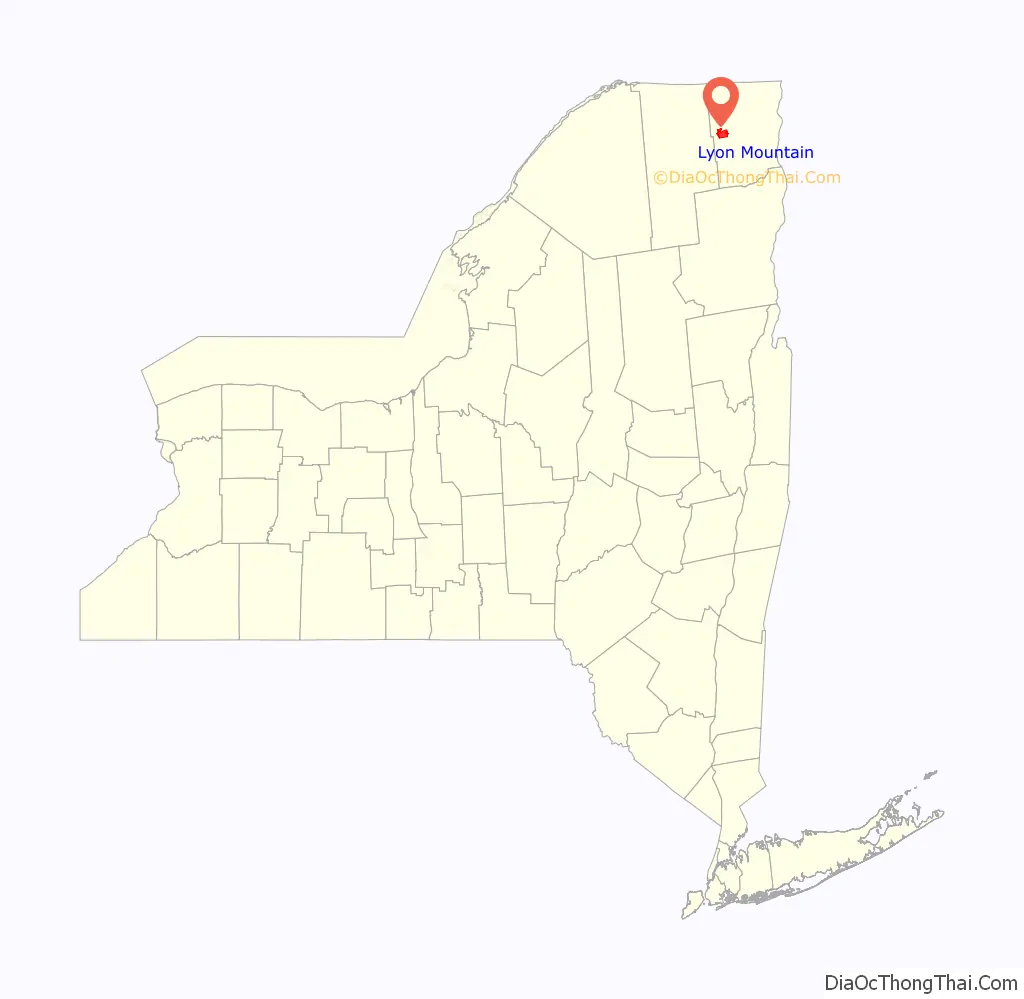
Lyon Mountain location map. Where is Lyon Mountain CDP?
History
The hamlet is named after Nathaniel Lyon, who moved to the base of the mountain that also bears his name in 1803 and died circa 1850. Lyon was a relative of General Nathaniel Lyon (1818–1861).
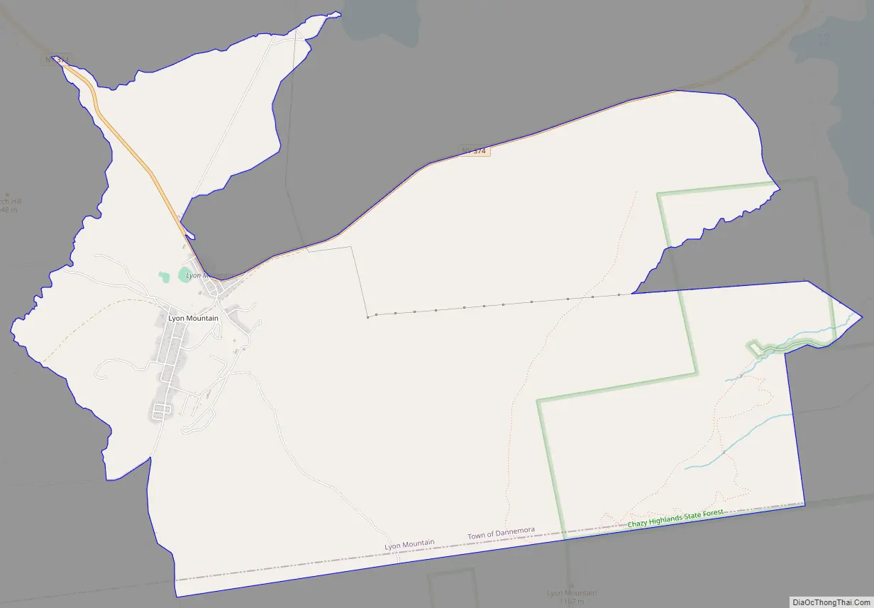
Lyon Mountain Road Map
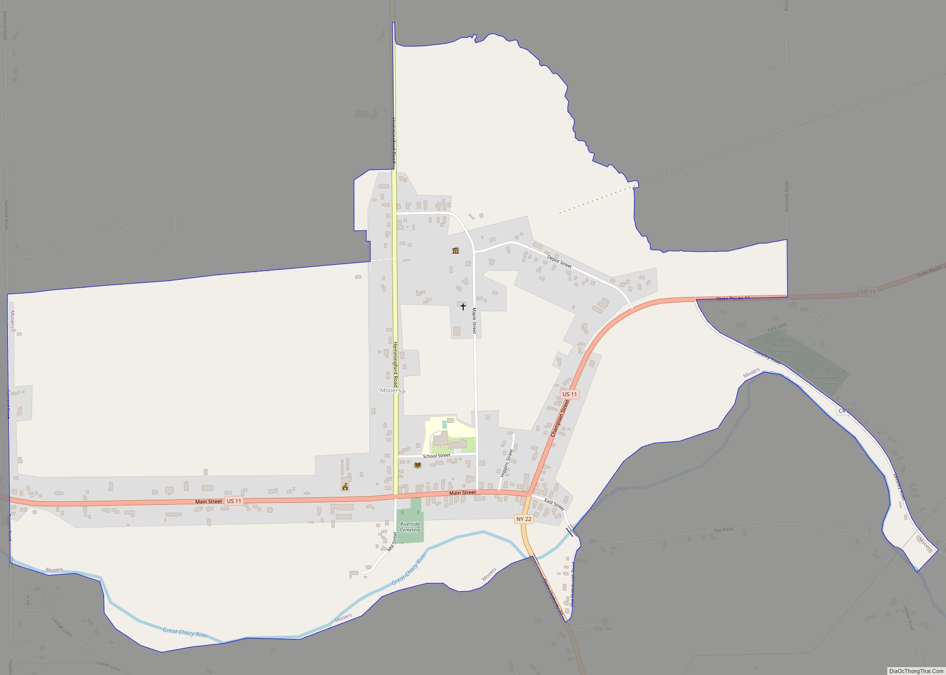
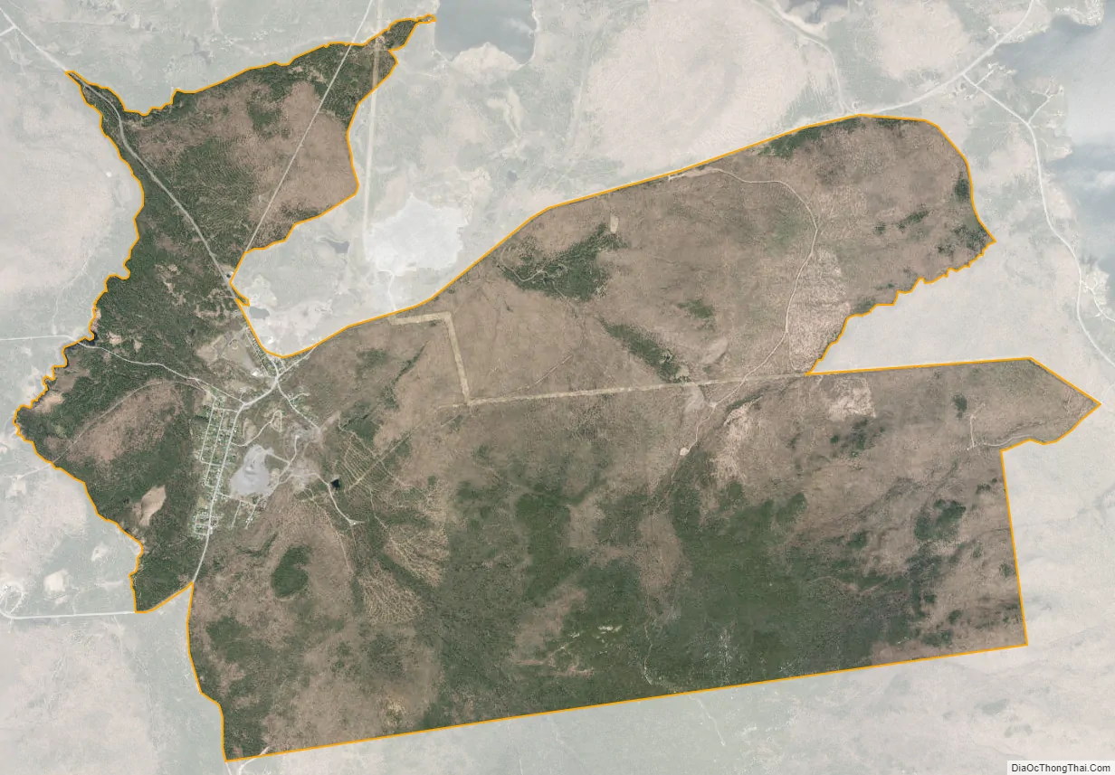
Lyon Mountain city Satellite Map
Geography
The hamlet of Lyon Mountain is located at 44°43′44″N 73°54′28″W / 44.72889°N 73.90778°W / 44.72889; -73.90778 (44.728863, -73.907905). According to the United States Census Bureau, the CDP has a total area of 10.2 square miles (26.3 km), all land.
Lyon Mountain is on New York State Route 374, which leads east 12 miles (19 km) to Dannemora village and northwest 17 miles (27 km) to Chateaugay.
See also
Map of New York State and its subdivision:- Albany
- Allegany
- Bronx
- Broome
- Cattaraugus
- Cayuga
- Chautauqua
- Chemung
- Chenango
- Clinton
- Columbia
- Cortland
- Delaware
- Dutchess
- Erie
- Essex
- Franklin
- Fulton
- Genesee
- Greene
- Hamilton
- Herkimer
- Jefferson
- Kings
- Lake Ontario
- Lewis
- Livingston
- Madison
- Monroe
- Montgomery
- Nassau
- New York
- Niagara
- Oneida
- Onondaga
- Ontario
- Orange
- Orleans
- Oswego
- Otsego
- Putnam
- Queens
- Rensselaer
- Richmond
- Rockland
- Saint Lawrence
- Saratoga
- Schenectady
- Schoharie
- Schuyler
- Seneca
- Steuben
- Suffolk
- Sullivan
- Tioga
- Tompkins
- Ulster
- Warren
- Washington
- Wayne
- Westchester
- Wyoming
- Yates
- Alabama
- Alaska
- Arizona
- Arkansas
- California
- Colorado
- Connecticut
- Delaware
- District of Columbia
- Florida
- Georgia
- Hawaii
- Idaho
- Illinois
- Indiana
- Iowa
- Kansas
- Kentucky
- Louisiana
- Maine
- Maryland
- Massachusetts
- Michigan
- Minnesota
- Mississippi
- Missouri
- Montana
- Nebraska
- Nevada
- New Hampshire
- New Jersey
- New Mexico
- New York
- North Carolina
- North Dakota
- Ohio
- Oklahoma
- Oregon
- Pennsylvania
- Rhode Island
- South Carolina
- South Dakota
- Tennessee
- Texas
- Utah
- Vermont
- Virginia
- Washington
- West Virginia
- Wisconsin
- Wyoming