Madison is a village in Madison County, New York, United States. The population was 305 at the 2010 census. The village and its town are named after President James Madison.
The Village of Madison is in the central part of the Town of Madison on US Route 20.
| Name: | Madison village |
|---|---|
| LSAD Code: | 47 |
| LSAD Description: | village (suffix) |
| State: | New York |
| County: | Madison County |
| Elevation: | 1,204 ft (367 m) |
| Total Area: | 0.48 sq mi (1.24 km²) |
| Land Area: | 0.48 sq mi (1.24 km²) |
| Water Area: | 0.00 sq mi (0.00 km²) |
| Total Population: | 311 |
| Population Density: | 651.99/sq mi (251.49/km²) |
| ZIP code: | 13402 |
| Area code: | 315 |
| FIPS code: | 3644424 |
| GNISfeature ID: | 0956252 |
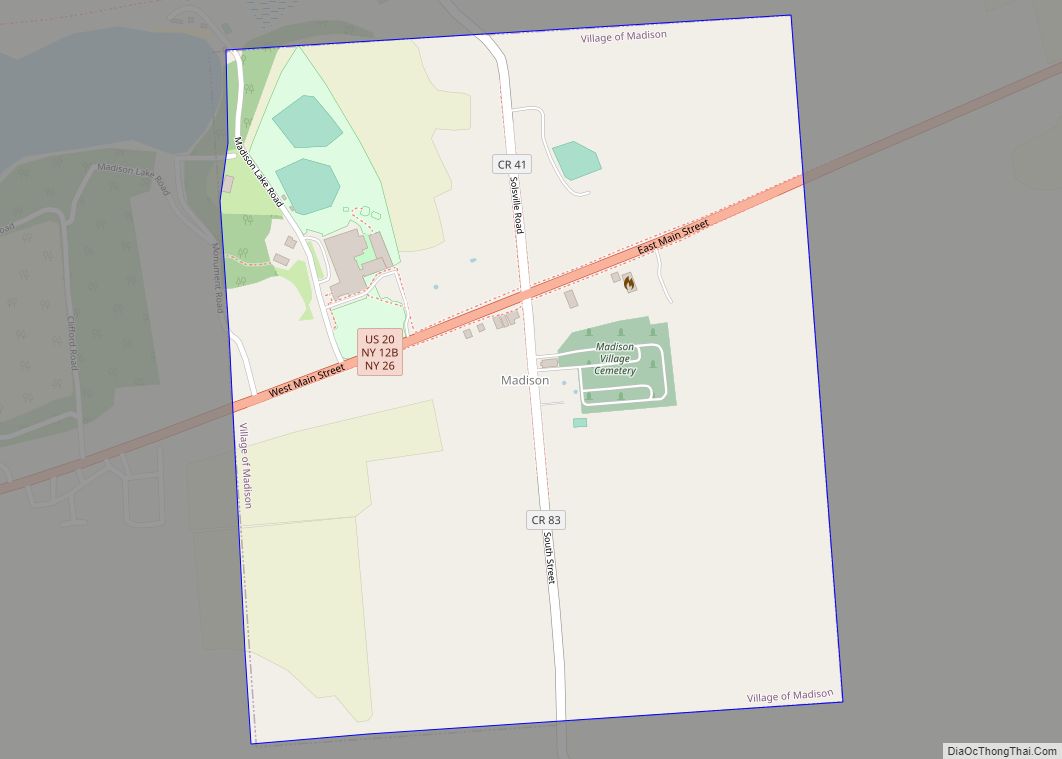
Online Interactive Map
Click on ![]() to view map in "full screen" mode.
to view map in "full screen" mode.
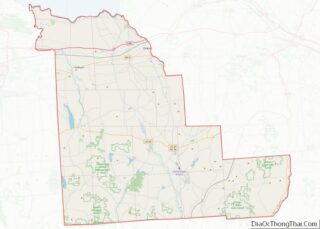
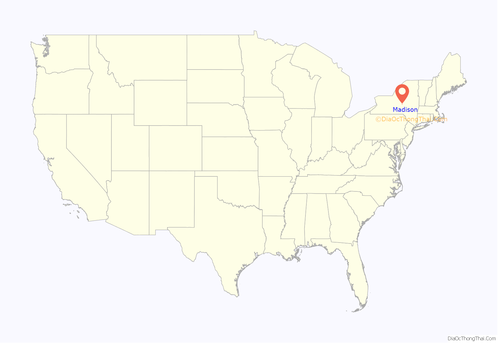
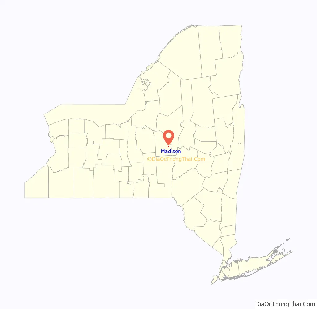
Madison location map. Where is Madison village?
History
The village was incorporated in 1816. Located on NY Route 20, Madison was a busy thoroughfare for east-west travelers and featured a hotel and resort on Madison Lake. Much of Madison was owned by businessman G.W. Hinman. Many visitors came from the nearby hamlet of Solsville, where the Chenengo Canal and the railroad both had stations. Madison is most famous for the Madison-Bouckville Antique Show, which takes place in August annually and sees over 1,000 antique dealers and tens of thousands of buyers traveling to Madison to find rare and unique items.
In 2000, Solsville, a half-mile north of Madison, became part of the town of Madison. Solsville is known for its historic Solsville Hotel, which was at one point the town post office, saloon, and ballroom, and is currently home to a restaurant and Irish popular pub, owned by B. Dixon. The old canal house in Solsville has also been converted into a bar.
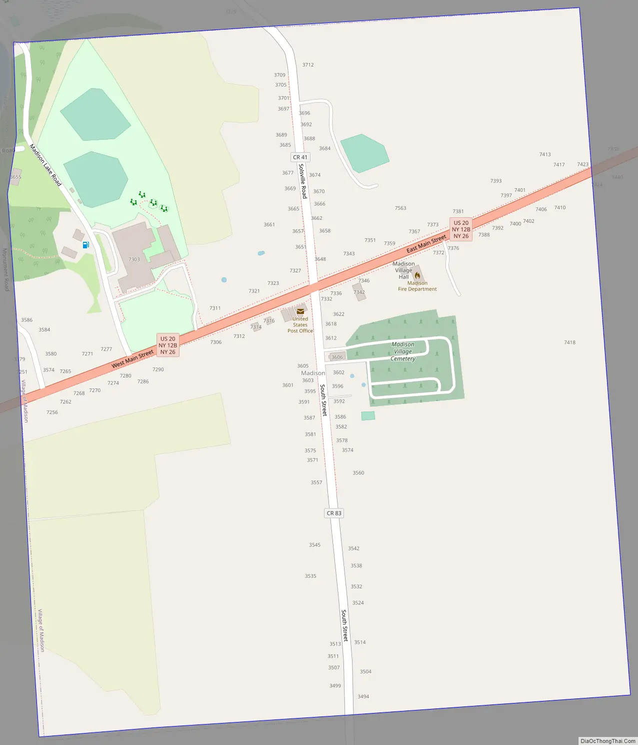
Madison Road Map
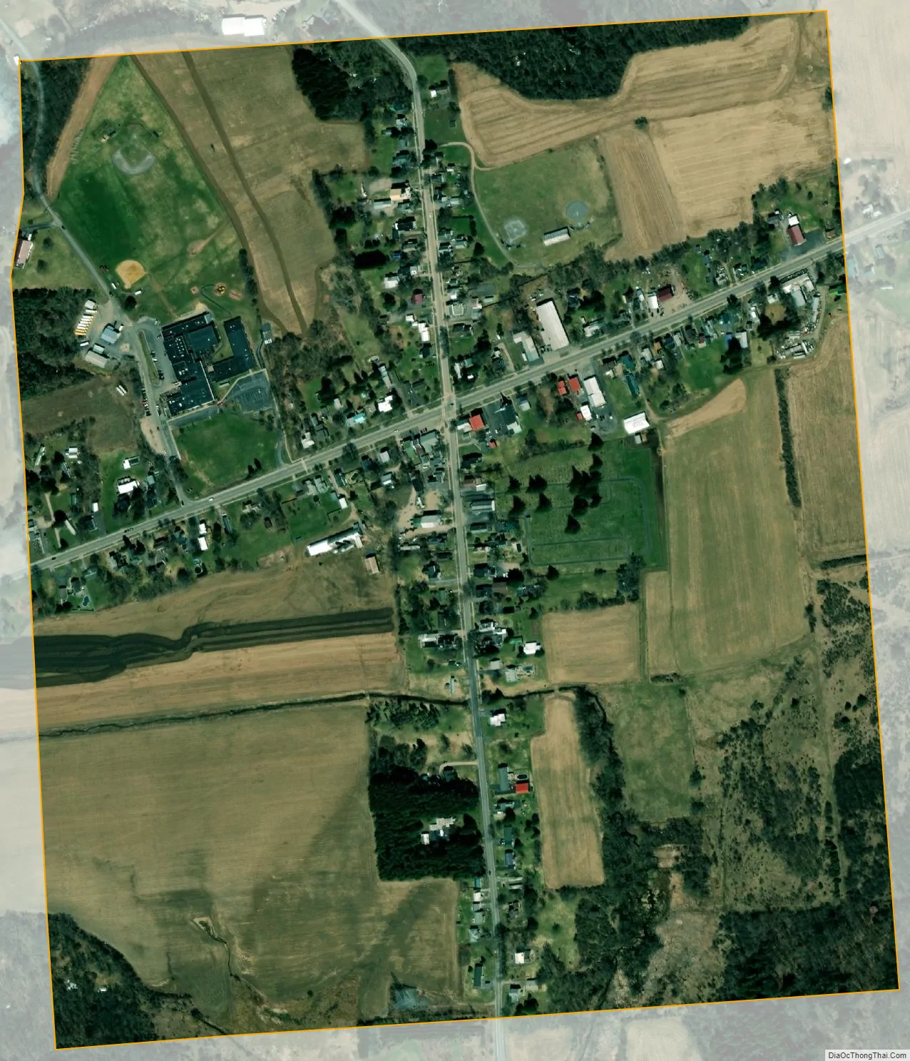
Madison city Satellite Map
Geography
Madison is located at 42°54′2″N 75°30′54″W / 42.90056°N 75.51500°W / 42.90056; -75.51500 (42.900775, -75.515153).
According to the United States Census Bureau, the village has a total area of 0.5 square mile (1.3 km), all land.
See also
Map of New York State and its subdivision:- Albany
- Allegany
- Bronx
- Broome
- Cattaraugus
- Cayuga
- Chautauqua
- Chemung
- Chenango
- Clinton
- Columbia
- Cortland
- Delaware
- Dutchess
- Erie
- Essex
- Franklin
- Fulton
- Genesee
- Greene
- Hamilton
- Herkimer
- Jefferson
- Kings
- Lake Ontario
- Lewis
- Livingston
- Madison
- Monroe
- Montgomery
- Nassau
- New York
- Niagara
- Oneida
- Onondaga
- Ontario
- Orange
- Orleans
- Oswego
- Otsego
- Putnam
- Queens
- Rensselaer
- Richmond
- Rockland
- Saint Lawrence
- Saratoga
- Schenectady
- Schoharie
- Schuyler
- Seneca
- Steuben
- Suffolk
- Sullivan
- Tioga
- Tompkins
- Ulster
- Warren
- Washington
- Wayne
- Westchester
- Wyoming
- Yates
- Alabama
- Alaska
- Arizona
- Arkansas
- California
- Colorado
- Connecticut
- Delaware
- District of Columbia
- Florida
- Georgia
- Hawaii
- Idaho
- Illinois
- Indiana
- Iowa
- Kansas
- Kentucky
- Louisiana
- Maine
- Maryland
- Massachusetts
- Michigan
- Minnesota
- Mississippi
- Missouri
- Montana
- Nebraska
- Nevada
- New Hampshire
- New Jersey
- New Mexico
- New York
- North Carolina
- North Dakota
- Ohio
- Oklahoma
- Oregon
- Pennsylvania
- Rhode Island
- South Carolina
- South Dakota
- Tennessee
- Texas
- Utah
- Vermont
- Virginia
- Washington
- West Virginia
- Wisconsin
- Wyoming