Manlius is a village in Onondaga County, New York, United States, and a southeast suburb of Syracuse. As of the 2020 census, the population was 4,662.
The Village of Manlius is located near the southern boundary of the Town of Manlius. An area of approximately three blocks within the village, running along Seneca Street and parallel to Pleasant Street, is listed on the National Register of Historic Places as the Manlius Village Historic District.
| Name: | Manlius village |
|---|---|
| LSAD Code: | 47 |
| LSAD Description: | village (suffix) |
| State: | New York |
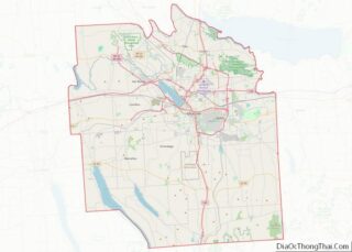
| County: | Onondaga County |
| Total Area: | 1.82 sq mi (4.72 km²) |
| Land Area: | 1.82 sq mi (4.72 km²) |
| Water Area: | 0.00 sq mi (0.00 km²) |
| Total Population: | 4,662 |
| Population Density: | 2,560.13/sq mi (988.60/km²) |
| ZIP code: | 13104 |
| Area code: | 315 |
| FIPS code: | 3645018 |
| GNISfeature ID: | 2390961 |
| Website: | www.manliusvillage.org |
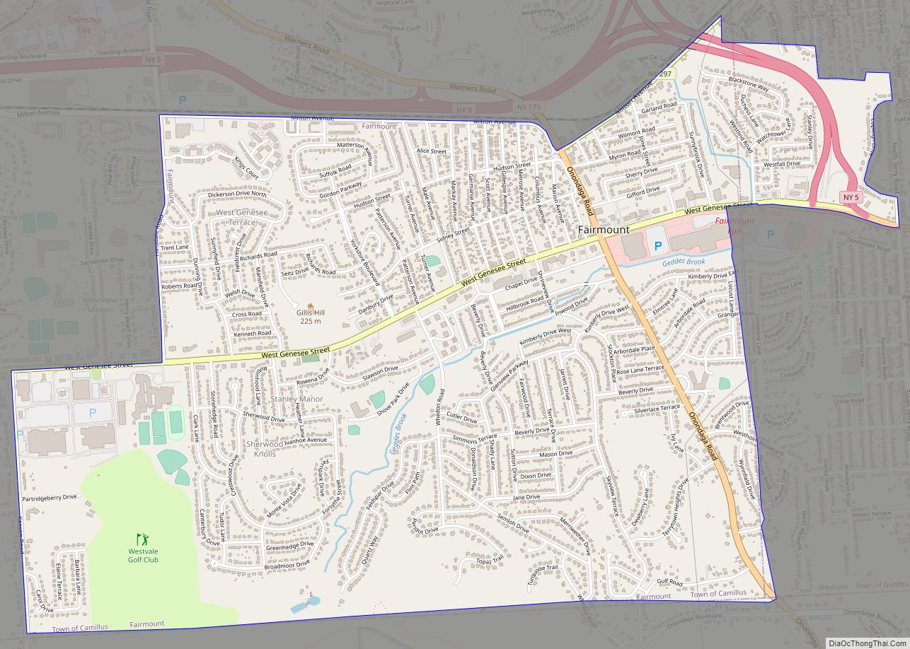
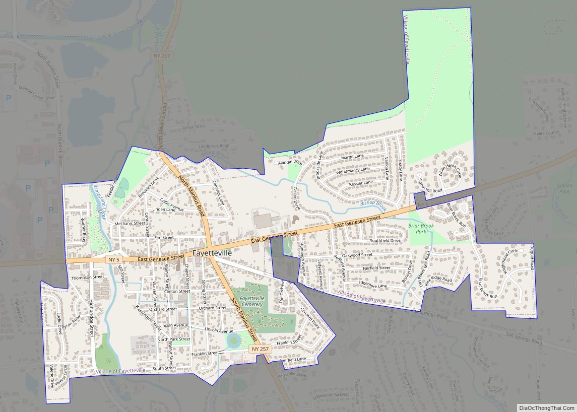
Online Interactive Map
Click on ![]() to view map in "full screen" mode.
to view map in "full screen" mode.
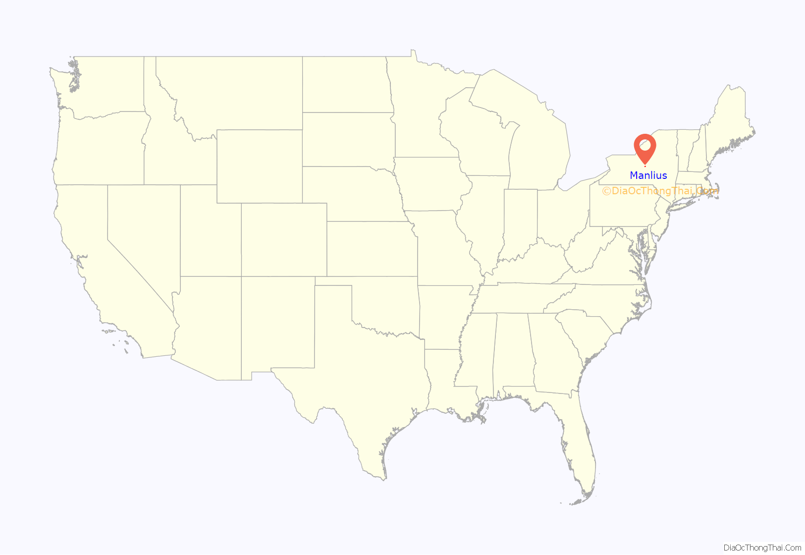
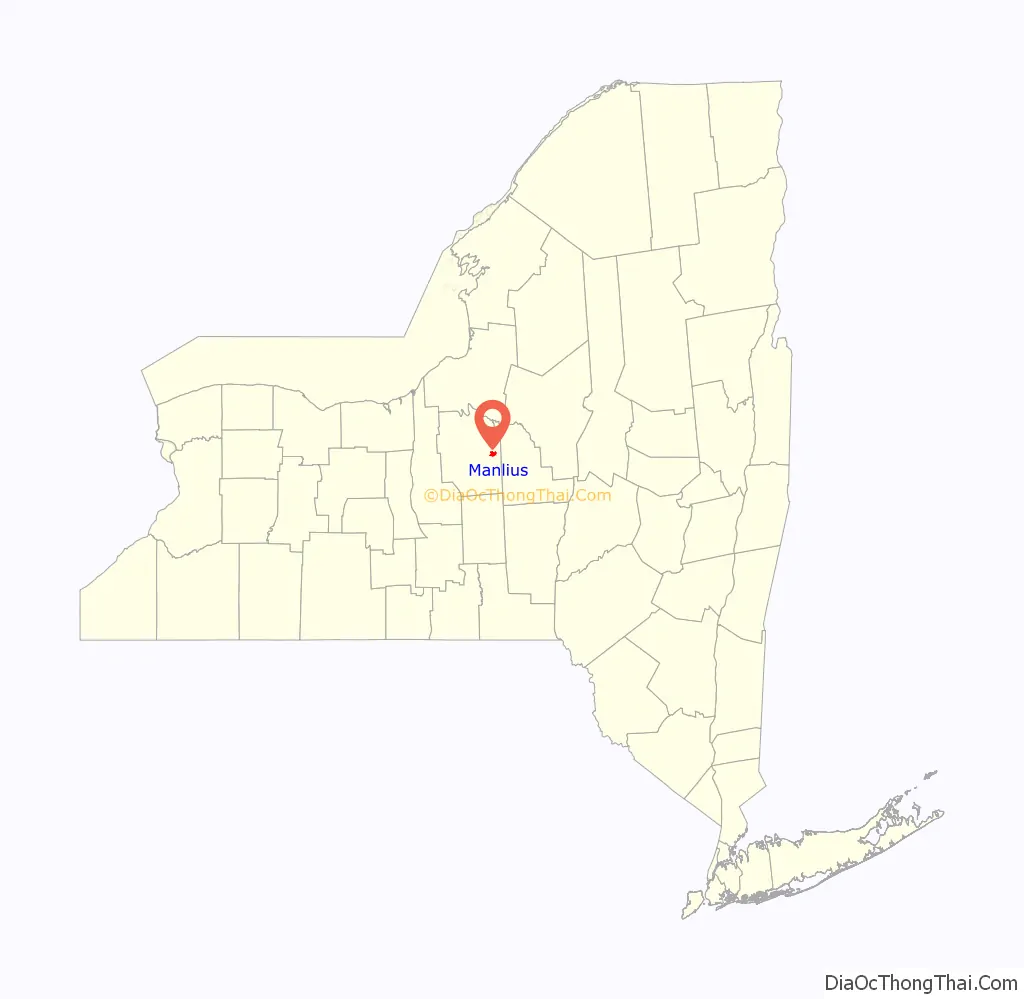
Manlius location map. Where is Manlius village?
History
Originally one of the communities in the Central New York Military Tract (defined as Township Number Seven), the town of Manlius was settled in 1794. The village, however, was settled two years before by John A. Shaeffer, a German. The first schoolhouse in Manlius was erected in 1798. Built out of logs, it was located near a local resident’s mill, named only as Mr. Costello. By 1801, the village began to grow, with six buildings and several amenities, including a blacksmith, store, doctor, lawyer, and a tavern. By the turn of the 19th century, there was also a post office defined as “Liberty Square”. However, the name of Liberty Square was eventually renamed Manlius Square. After four years, Manlius had grown at a rapid rate, with the building of thirty houses. The growing village was defined as one of the most prominent business locations in Onondaga County. The community became the first village in the county in 1813.
Before the construction of the Erie Canal, Manlius was a large business point along the Cherry Valley Turnpike and Seneca Turnpikes. Since the traveling of goods passed through Manlius on these turnpikes, every other structure along the highways were taverns. Between Manlius and nearby Chittenango, New York, there were only about six or seven public buildings. Most of this stretch of the Seneca Turnpike is now New York State Route 173.
For twenty years, Manlius was the largest trade center in Onondaga County, with what is now Syracuse, a swamp at the time. Into the early 20th century, its St. John Military Academy was a respected private school for young men.
The Manlius Village Historic District was listed on the National Register of Historic Places in 1973.
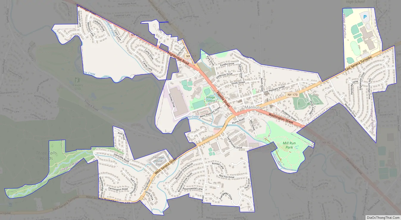
Manlius Road Map
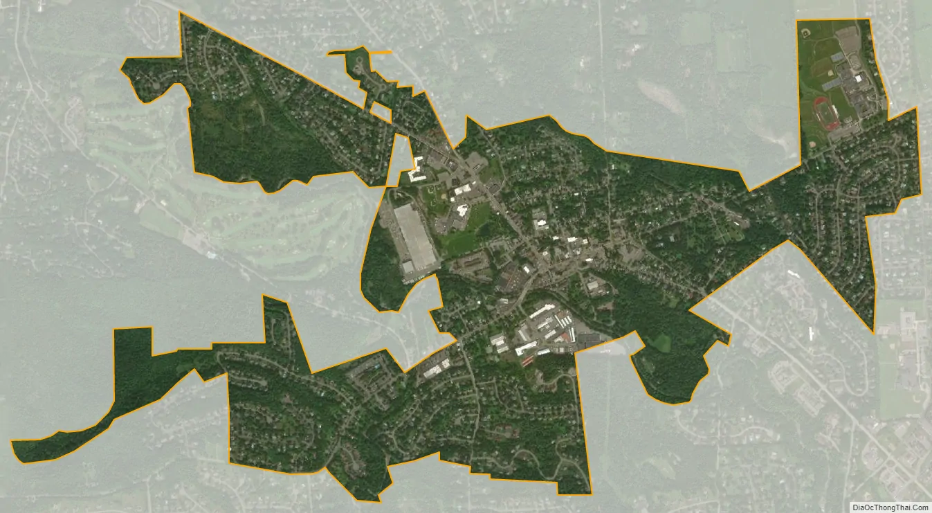
Manlius city Satellite Map
Geography
Manlius is located at 43°0′8″N 75°58′44″W / 43.00222°N 75.97889°W / 43.00222; -75.97889 (43.002266, -75.979068).
According to the United States Census Bureau, the village has a total area of 1.8 square miles (4.6 km), all land.
New York State Route 92 and New York State Route 173 intersect in Manlius.
See also
Map of New York State and its subdivision:- Albany
- Allegany
- Bronx
- Broome
- Cattaraugus
- Cayuga
- Chautauqua
- Chemung
- Chenango
- Clinton
- Columbia
- Cortland
- Delaware
- Dutchess
- Erie
- Essex
- Franklin
- Fulton
- Genesee
- Greene
- Hamilton
- Herkimer
- Jefferson
- Kings
- Lake Ontario
- Lewis
- Livingston
- Madison
- Monroe
- Montgomery
- Nassau
- New York
- Niagara
- Oneida
- Onondaga
- Ontario
- Orange
- Orleans
- Oswego
- Otsego
- Putnam
- Queens
- Rensselaer
- Richmond
- Rockland
- Saint Lawrence
- Saratoga
- Schenectady
- Schoharie
- Schuyler
- Seneca
- Steuben
- Suffolk
- Sullivan
- Tioga
- Tompkins
- Ulster
- Warren
- Washington
- Wayne
- Westchester
- Wyoming
- Yates
- Alabama
- Alaska
- Arizona
- Arkansas
- California
- Colorado
- Connecticut
- Delaware
- District of Columbia
- Florida
- Georgia
- Hawaii
- Idaho
- Illinois
- Indiana
- Iowa
- Kansas
- Kentucky
- Louisiana
- Maine
- Maryland
- Massachusetts
- Michigan
- Minnesota
- Mississippi
- Missouri
- Montana
- Nebraska
- Nevada
- New Hampshire
- New Jersey
- New Mexico
- New York
- North Carolina
- North Dakota
- Ohio
- Oklahoma
- Oregon
- Pennsylvania
- Rhode Island
- South Carolina
- South Dakota
- Tennessee
- Texas
- Utah
- Vermont
- Virginia
- Washington
- West Virginia
- Wisconsin
- Wyoming