Mannsville is a village in the town of Ellisburg in Jefferson County, New York, United States. The population was 354 at the 2010 census, down from 400 in 2000. The name is from Barzillian Mann, early developer.
Mannsville is in the southeastern part of Ellisburg and is south of Watertown.
| Name: | Mannsville village |
|---|---|
| LSAD Code: | 47 |
| LSAD Description: | village (suffix) |
| State: | New York |
| County: | Jefferson County |
| Elevation: | 620 ft (189 m) |
| Total Area: | 0.93 sq mi (2.41 km²) |
| Land Area: | 0.90 sq mi (2.32 km²) |
| Water Area: | 0.03 sq mi (0.08 km²) |
| Total Population: | 297 |
| Population Density: | 331.10/sq mi (127.81/km²) |
| ZIP code: | 13661 |
| Area code: | 315 |
| FIPS code: | 3645073 |
| GNISfeature ID: | 0956371 |
Online Interactive Map
Click on ![]() to view map in "full screen" mode.
to view map in "full screen" mode.
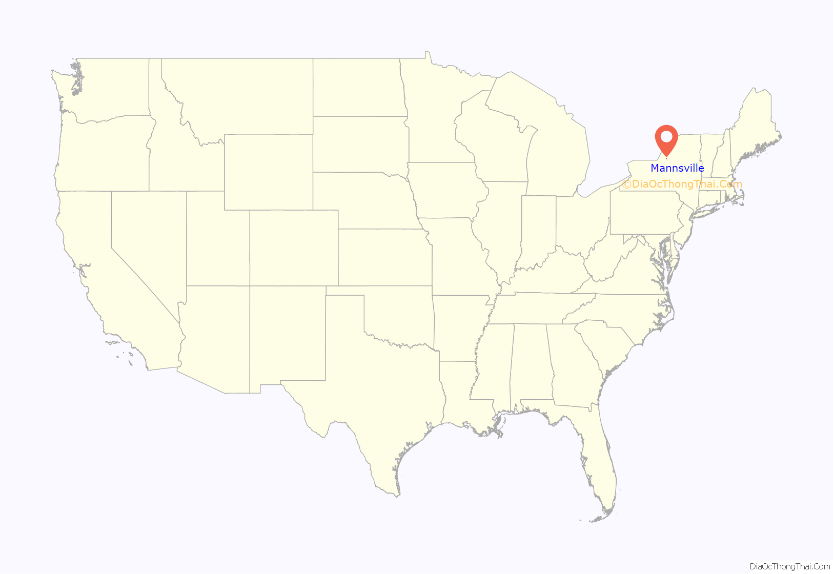
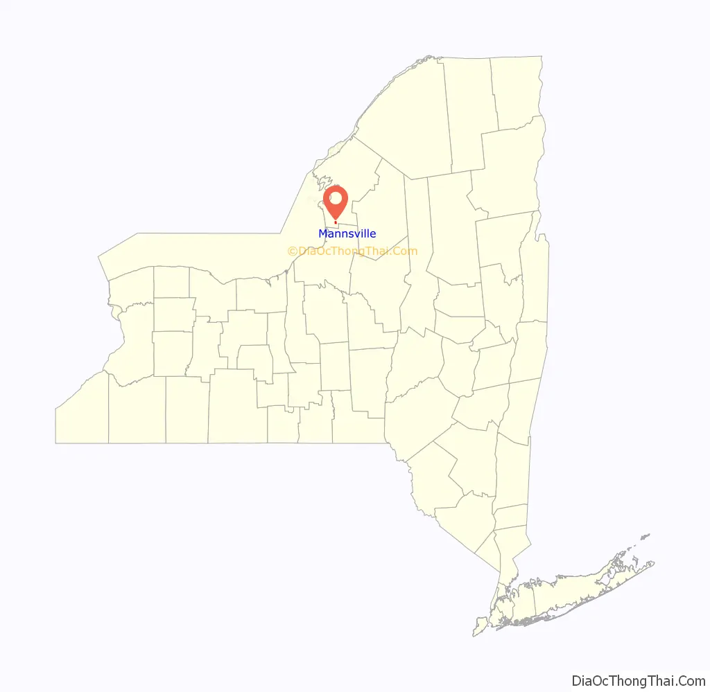
Mannsville location map. Where is Mannsville village?
History
The community was first settled around 1801. Mannsville incorporated as a village in 1879. In 1885, a fire burned several structures in the small village, but they were soon rebuilt.
In the 1830s missionaries served the area. The Mannsville Methodist-Episcopal Church was organized in 1847 with Rev. Fuller serving as the first pastor. The building was erected in 1859. The parsonage, located three houses east, was built in 1880. In 1957 a large addition was built, and the sanctuary was remodeled in 1967. A new steeple was erected in 2002 with funds provided by Ethel S. Joyner, and work done by Graves Construction.
The first school building in the community was a little red schoolhouse built in 1826, at the intersection of Balch Place and current Route 11. A second larger two-story building was built on Lorraine Street, but burned in 1878. The third school, built on the foundation of the Lorraine street building, burned in January 1883. A new building was dedicated in September 1883. There were 106 students in three departments. The schoolhouse again burned in 1907. A new two-story building was completed in 1908, and is currently known as the Mannsville Manor Elementary School. The cement blocks were made to resemble stone. O.D. Greene Jr. of Adams was the builder. Classes ran from first to eighth grades. The district centralized in 1930 with other districts in the towns of Ellisburg and Lorraine.
In the early 1930s, six village men held a meeting in the old Club House on Mill Street in Mannsville. With a dollar each, the Mannsville Volunteer Fire Department was established. In 1949 they became incorporated and merged with Pierrepont Manor to become the Mannsville Manor Fire Department, or tongue in cheek as the “Cellar Savers”.
In May 1960 seven active members of the Mannsville Manor Fire Department borrowed $200 from the department to start the first ambulance service in southern Jefferson County, which at that time served six townships. This was the beginning of Rescue 48. In May 1976, Rescue 48 was reorganized with 25 active members supplying 24-hour ambulance service. The Mannsville Manor Rescue Squad observed their 30th anniversary in 1990. On January 4, 1991, the Rescue Squad became one of the first volunteer paramedic ambulance services in Jefferson County.
The Pierrepont Manor Complex was listed on the National Register of Historic Places in 1977.
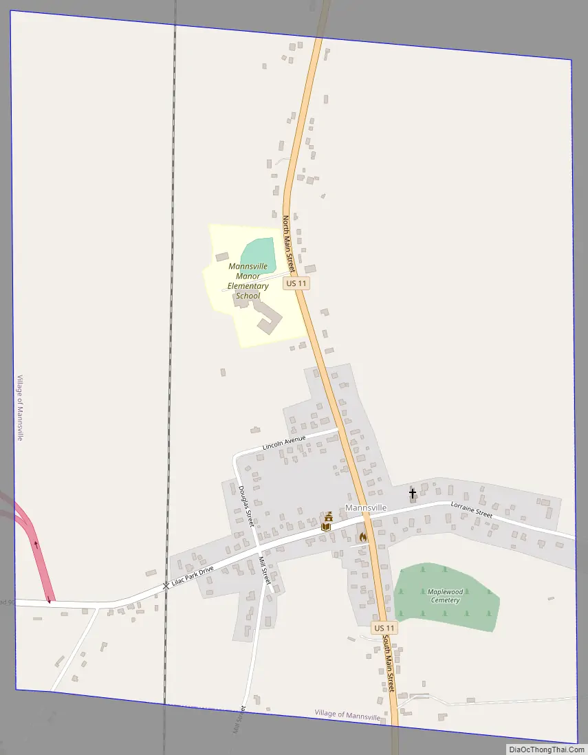
Mannsville Road Map
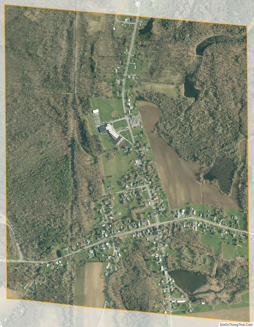
Mannsville city Satellite Map
Geography
Mannsville is located near the southern border of Jefferson County at 43°42′41″N 76°3′51″W / 43.71139°N 76.06417°W / 43.71139; -76.06417 (43.711334, -76.064104), in the southeastern part of the town of Ellisburg. According to the United States Census Bureau, the village has a total area of 0.93 square miles (2.4 km), of which 0.89 square miles (2.3 km) are land and 0.04 square miles (0.1 km), or 3.50%, are water. Skinner Creek by the village attracted early settlers to use its water power.
Mannsville is at the intersection of U.S. Route 11 and County Road 90. Interstate 81 passes within one mile of the village to the west , with an interchange at CR 90. US-11 and I-81 lead north 21 miles (34 km) to Watertown, the county seat, and south 50 miles (80 km) to Syracuse.
See also
Map of New York State and its subdivision:- Albany
- Allegany
- Bronx
- Broome
- Cattaraugus
- Cayuga
- Chautauqua
- Chemung
- Chenango
- Clinton
- Columbia
- Cortland
- Delaware
- Dutchess
- Erie
- Essex
- Franklin
- Fulton
- Genesee
- Greene
- Hamilton
- Herkimer
- Jefferson
- Kings
- Lake Ontario
- Lewis
- Livingston
- Madison
- Monroe
- Montgomery
- Nassau
- New York
- Niagara
- Oneida
- Onondaga
- Ontario
- Orange
- Orleans
- Oswego
- Otsego
- Putnam
- Queens
- Rensselaer
- Richmond
- Rockland
- Saint Lawrence
- Saratoga
- Schenectady
- Schoharie
- Schuyler
- Seneca
- Steuben
- Suffolk
- Sullivan
- Tioga
- Tompkins
- Ulster
- Warren
- Washington
- Wayne
- Westchester
- Wyoming
- Yates
- Alabama
- Alaska
- Arizona
- Arkansas
- California
- Colorado
- Connecticut
- Delaware
- District of Columbia
- Florida
- Georgia
- Hawaii
- Idaho
- Illinois
- Indiana
- Iowa
- Kansas
- Kentucky
- Louisiana
- Maine
- Maryland
- Massachusetts
- Michigan
- Minnesota
- Mississippi
- Missouri
- Montana
- Nebraska
- Nevada
- New Hampshire
- New Jersey
- New Mexico
- New York
- North Carolina
- North Dakota
- Ohio
- Oklahoma
- Oregon
- Pennsylvania
- Rhode Island
- South Carolina
- South Dakota
- Tennessee
- Texas
- Utah
- Vermont
- Virginia
- Washington
- West Virginia
- Wisconsin
- Wyoming


