Manorville is a hamlet and census-designated place (CDP) in Suffolk County, New York, United States. The population was 14,314 at the 2010 census.
Manorville is mostly in the Town of Brookhaven, but its northeast corner is in the Town of Riverhead. Due to its proximity to The Hamptons, Manorville is nicknamed “The Gateway to the Hamptons”.
| Name: | Manorville CDP |
|---|---|
| LSAD Code: | 57 |
| LSAD Description: | CDP (suffix) |
| State: | New York |
| County: | Suffolk County |
| Elevation: | 52 ft (16 m) |
| Total Area: | 25.47 sq mi (65.98 km²) |
| Land Area: | 25.43 sq mi (65.87 km²) |
| Water Area: | 0.04 sq mi (0.11 km²) |
| Total Population: | 14,317 |
| Population Density: | 562.97/sq mi (217.36/km²) |
| ZIP code: | 11949 |
| Area code: | 631, 934 |
| FIPS code: | 3645139 |
| GNISfeature ID: | 0970329 |
Online Interactive Map
Click on ![]() to view map in "full screen" mode.
to view map in "full screen" mode.
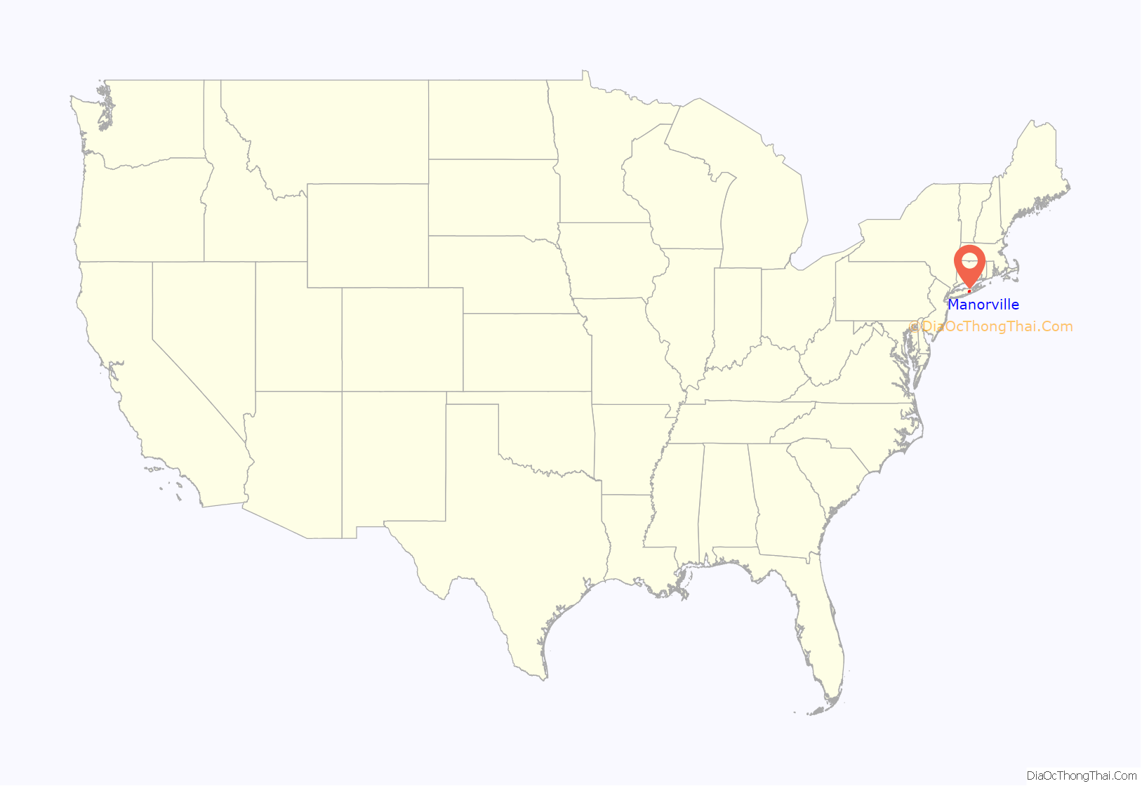
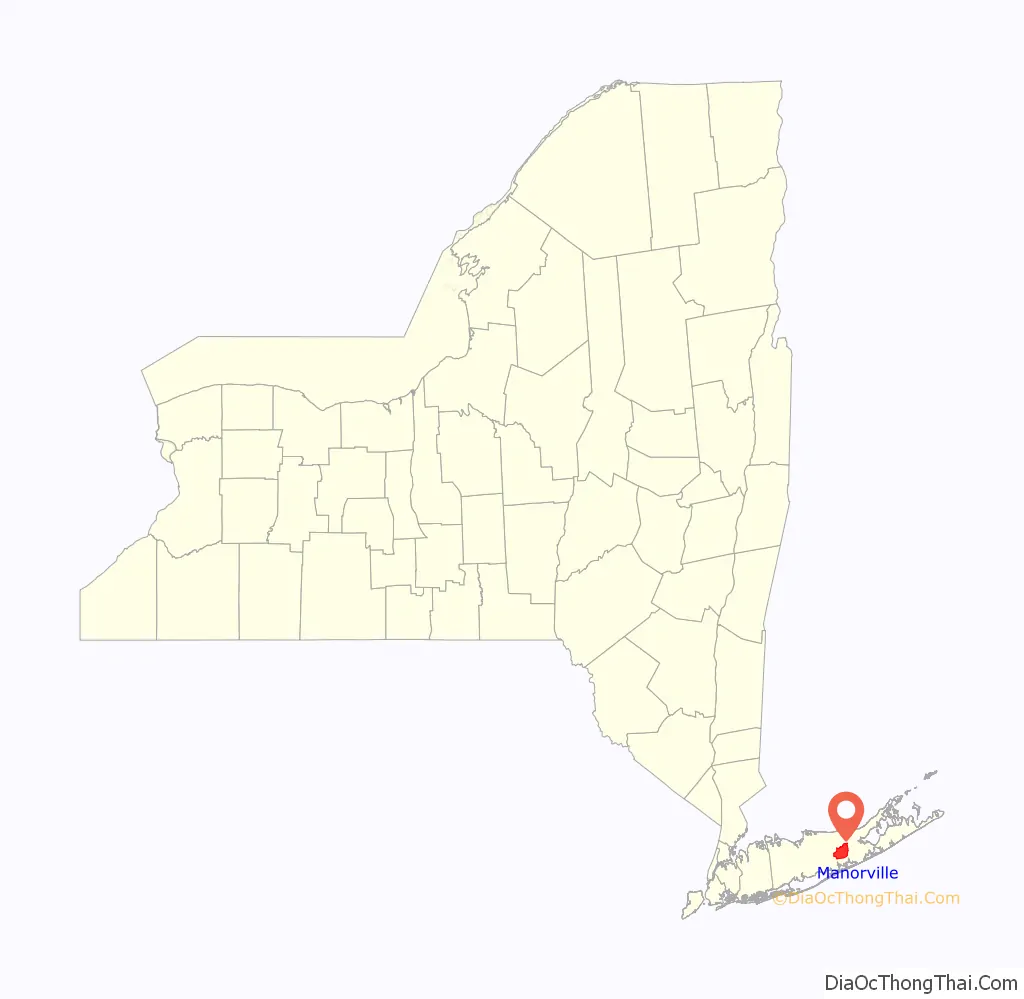
Manorville location map. Where is Manorville CDP?
History
The hamlet of Manorville was a small farming community for many years. The area of the hamlet once laid within the huge tract of land known as Manor St. George, a land grant given to Col. William “Tangier” Smith in 1693 for recognition of his service as governor of Tangier in Morocco. In 1844, the Long Island Rail Road built a station called St. George’s Manor, which was situated off of Ryerson Avenue. However, Seth Raynor, the station agent who was a patriot during the American Revolutionary War, disliked the name due to its similarity to the British and their colonial dominance (Saint George, the patron saint of England, is a symbol of the English monarchy), and decided to paint over the sign, leaving only the word “Manor”. The hamlet changed its name to “Manorville” with the opening of its post office in 1907, but timetables and Long Island Rail Road documents retained the name “Manor” until 1907 or 1908.
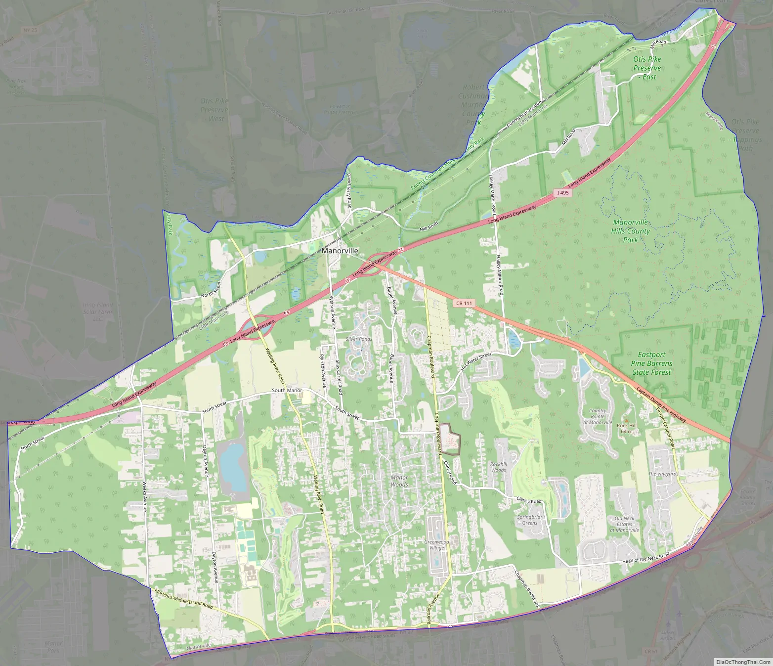
Manorville Road Map
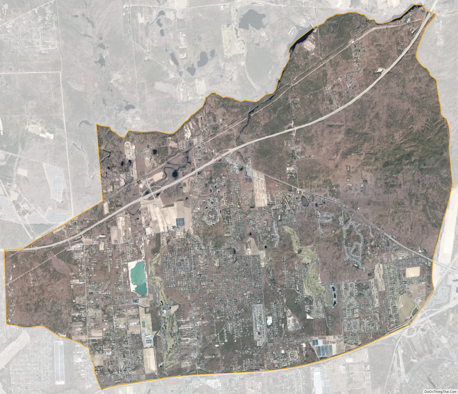
Manorville city Satellite Map
Geography
According to the United States Census Bureau, the CDP has an area of 25.5 square miles (66.1 km), of which 25.5 square miles (66.0 km) is land and 0.04 square miles (0.1 km), or 0.16%, is water.
The hamlet is at the western edge of, and partially within, the Long Island Central Pine Barrens. The land is heavily wooded, and features some wetlands, particularly in the northern section near the Peconic River. Much of the northeastern portion of the hamlet is in the Pine Barrens’ “Core Preservation Area”, where no further development is allowed. This area also serves as a primary source for Long Island’s groundwater preserve.
Manorville is in the center of Long Island with no access to the water. It lies partially on the Ronkonkoma terminal moraine, which creates some slightly rolling topography, especially in the central portion of the hamlet. The glacial topography of the area features several kettle hole ponds, the most well-known of which is Punk’s Hole, where a Revolutionary War captain was rumored to have hid from the British.
See also
Map of New York State and its subdivision:- Albany
- Allegany
- Bronx
- Broome
- Cattaraugus
- Cayuga
- Chautauqua
- Chemung
- Chenango
- Clinton
- Columbia
- Cortland
- Delaware
- Dutchess
- Erie
- Essex
- Franklin
- Fulton
- Genesee
- Greene
- Hamilton
- Herkimer
- Jefferson
- Kings
- Lake Ontario
- Lewis
- Livingston
- Madison
- Monroe
- Montgomery
- Nassau
- New York
- Niagara
- Oneida
- Onondaga
- Ontario
- Orange
- Orleans
- Oswego
- Otsego
- Putnam
- Queens
- Rensselaer
- Richmond
- Rockland
- Saint Lawrence
- Saratoga
- Schenectady
- Schoharie
- Schuyler
- Seneca
- Steuben
- Suffolk
- Sullivan
- Tioga
- Tompkins
- Ulster
- Warren
- Washington
- Wayne
- Westchester
- Wyoming
- Yates
- Alabama
- Alaska
- Arizona
- Arkansas
- California
- Colorado
- Connecticut
- Delaware
- District of Columbia
- Florida
- Georgia
- Hawaii
- Idaho
- Illinois
- Indiana
- Iowa
- Kansas
- Kentucky
- Louisiana
- Maine
- Maryland
- Massachusetts
- Michigan
- Minnesota
- Mississippi
- Missouri
- Montana
- Nebraska
- Nevada
- New Hampshire
- New Jersey
- New Mexico
- New York
- North Carolina
- North Dakota
- Ohio
- Oklahoma
- Oregon
- Pennsylvania
- Rhode Island
- South Carolina
- South Dakota
- Tennessee
- Texas
- Utah
- Vermont
- Virginia
- Washington
- West Virginia
- Wisconsin
- Wyoming


