Marlboro is a hamlet (and census-designated place) in Ulster County, New York, United States. The population was 3,669 at the 2020 census. Marlboro is in the southeastern part of the town of Marlborough, located in the southeastern corner of the county.
| Name: | Marlboro CDP |
|---|---|
| LSAD Code: | 57 |
| LSAD Description: | CDP (suffix) |
| State: | New York |
| County: | Ulster County |
| Elevation: | 180 ft (55 m) |
| Total Area: | 5.63 sq mi (14.57 km²) |
| Land Area: | 4.99 sq mi (12.91 km²) |
| Water Area: | 0.64 sq mi (1.66 km²) |
| Total Population: | 3,699 |
| Population Density: | 742.03/sq mi (286.52/km²) |
| ZIP code: | 12542 |
| Area code: | 845 |
| FIPS code: | 3645700 |
| GNISfeature ID: | 0956544 |
Online Interactive Map
Click on ![]() to view map in "full screen" mode.
to view map in "full screen" mode.
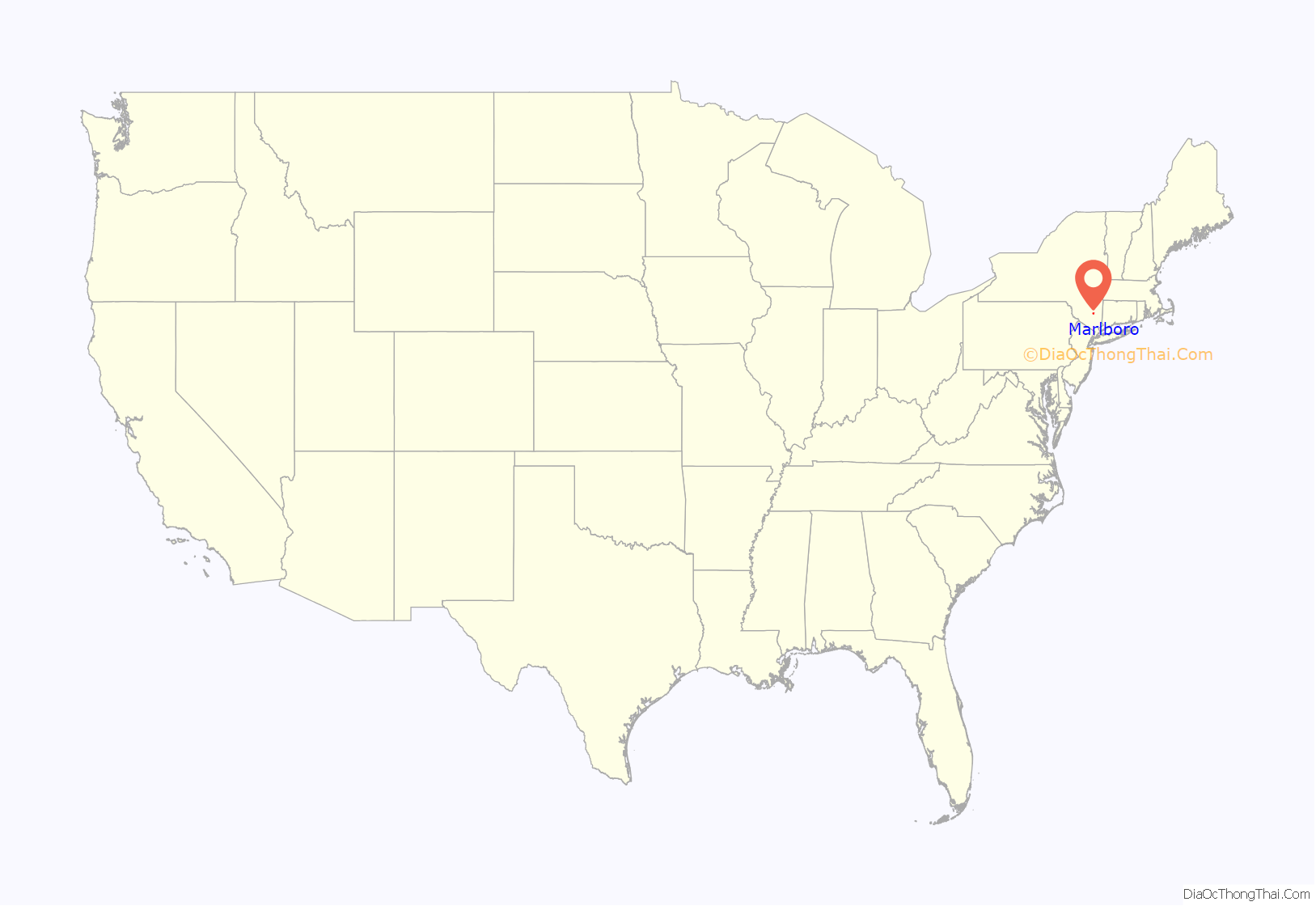
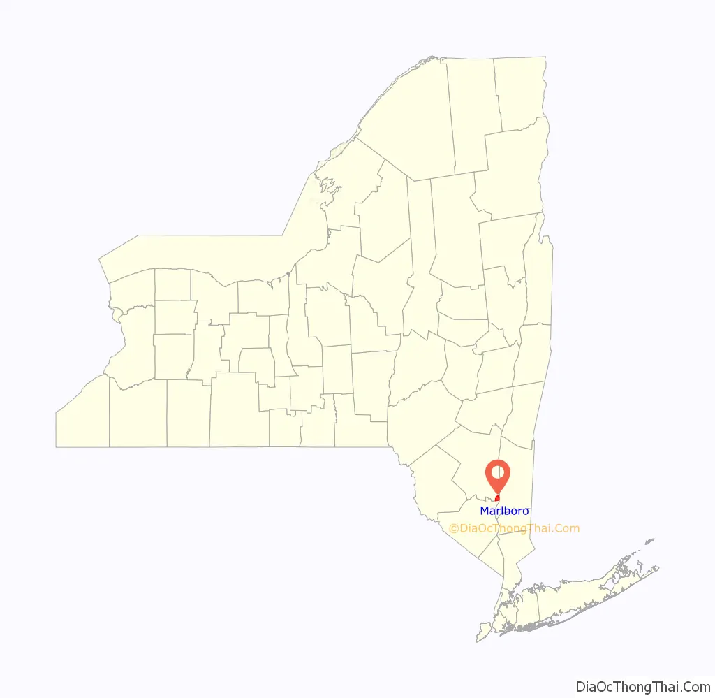
Marlboro location map. Where is Marlboro CDP?
History
The community was the site of the first settlement in the town, around 1697. The Chapel Hill Bible Church, Christ Episcopal Church, Dubois-Sarles Octagon, Elliot–Buckley House, and Shady Brook Farm are listed on the National Register of Historic Places. Marlboro is also the location of the Gomez Mill House, an historical site which is the oldest Jewish residence in Ulster County. It was additionally the first paper mill in Ulster County.
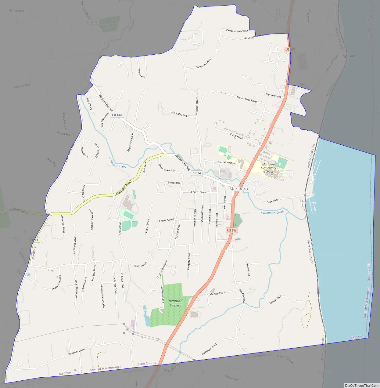
Marlboro Road Map
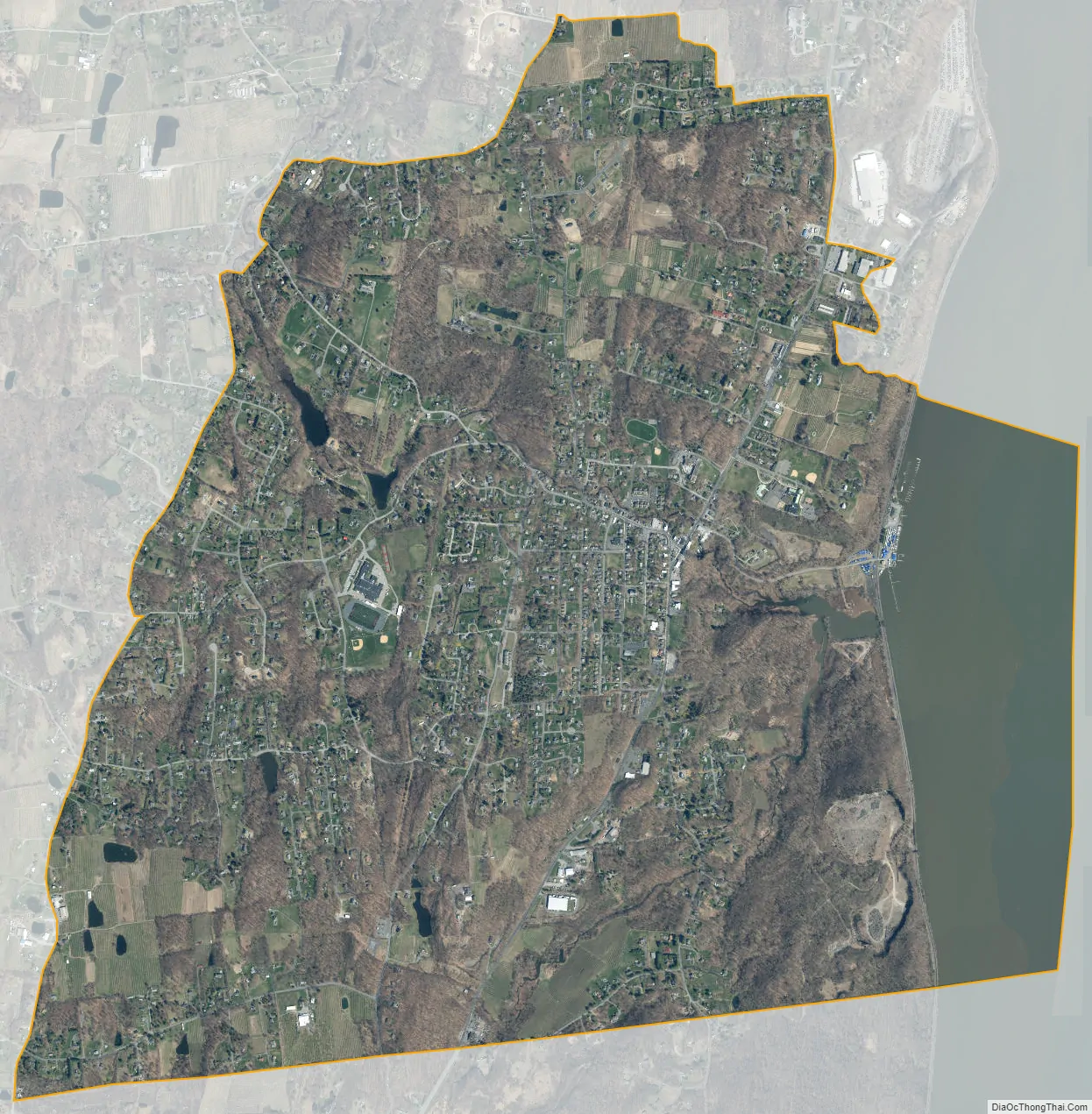
Marlboro city Satellite Map
Geography
Marlboro is located at 41°36′17″N 73°58′29″W / 41.60472°N 73.97472°W / 41.60472; -73.97472 (41.604693, -73.974822).
According to the United States Census Bureau, the CDP has a total area of 3.3 square miles (8.5 km), of which 2.8 square miles (7.3 km) is land and 0.6 square miles (1.5 km, or 17.61%) is water.
The community is on the west bank of the Hudson River.
See also
Map of New York State and its subdivision:- Albany
- Allegany
- Bronx
- Broome
- Cattaraugus
- Cayuga
- Chautauqua
- Chemung
- Chenango
- Clinton
- Columbia
- Cortland
- Delaware
- Dutchess
- Erie
- Essex
- Franklin
- Fulton
- Genesee
- Greene
- Hamilton
- Herkimer
- Jefferson
- Kings
- Lake Ontario
- Lewis
- Livingston
- Madison
- Monroe
- Montgomery
- Nassau
- New York
- Niagara
- Oneida
- Onondaga
- Ontario
- Orange
- Orleans
- Oswego
- Otsego
- Putnam
- Queens
- Rensselaer
- Richmond
- Rockland
- Saint Lawrence
- Saratoga
- Schenectady
- Schoharie
- Schuyler
- Seneca
- Steuben
- Suffolk
- Sullivan
- Tioga
- Tompkins
- Ulster
- Warren
- Washington
- Wayne
- Westchester
- Wyoming
- Yates
- Alabama
- Alaska
- Arizona
- Arkansas
- California
- Colorado
- Connecticut
- Delaware
- District of Columbia
- Florida
- Georgia
- Hawaii
- Idaho
- Illinois
- Indiana
- Iowa
- Kansas
- Kentucky
- Louisiana
- Maine
- Maryland
- Massachusetts
- Michigan
- Minnesota
- Mississippi
- Missouri
- Montana
- Nebraska
- Nevada
- New Hampshire
- New Jersey
- New Mexico
- New York
- North Carolina
- North Dakota
- Ohio
- Oklahoma
- Oregon
- Pennsylvania
- Rhode Island
- South Carolina
- South Dakota
- Tennessee
- Texas
- Utah
- Vermont
- Virginia
- Washington
- West Virginia
- Wisconsin
- Wyoming


