Middle Island is a hamlet and census-designated place (CDP) in the Town of Brookhaven, Suffolk County, New York, United States. The population was 10,483 at the 2010 census. It is situated between the hamlets of Coram and Ridge, to the west and east, respectively, and Rocky Point and Yaphank to the north and south. The name derives from the fact that it lies approximately halfway between the eastern and western ends of Long Island (Montauk Point and the East River) as well as halfway between the northern and southern boundaries (the Long Island Sound and the Atlantic Ocean).
| Name: | Middle Island CDP |
|---|---|
| LSAD Code: | 57 |
| LSAD Description: | CDP (suffix) |
| State: | New York |
| County: | Suffolk County |
| Elevation: | 82 ft (25 m) |
| Total Area: | 8.28 sq mi (21.44 km²) |
| Land Area: | 8.22 sq mi (21.29 km²) |
| Water Area: | 0.06 sq mi (0.15 km²) |
| Total Population: | 10,546 |
| Population Density: | 1,283.12/sq mi (495.42/km²) |
| ZIP code: | 11953 |
| Area code: | 631, 934 |
| FIPS code: | 3646976 |
| GNISfeature ID: | 0957111 |
Online Interactive Map
Click on ![]() to view map in "full screen" mode.
to view map in "full screen" mode.
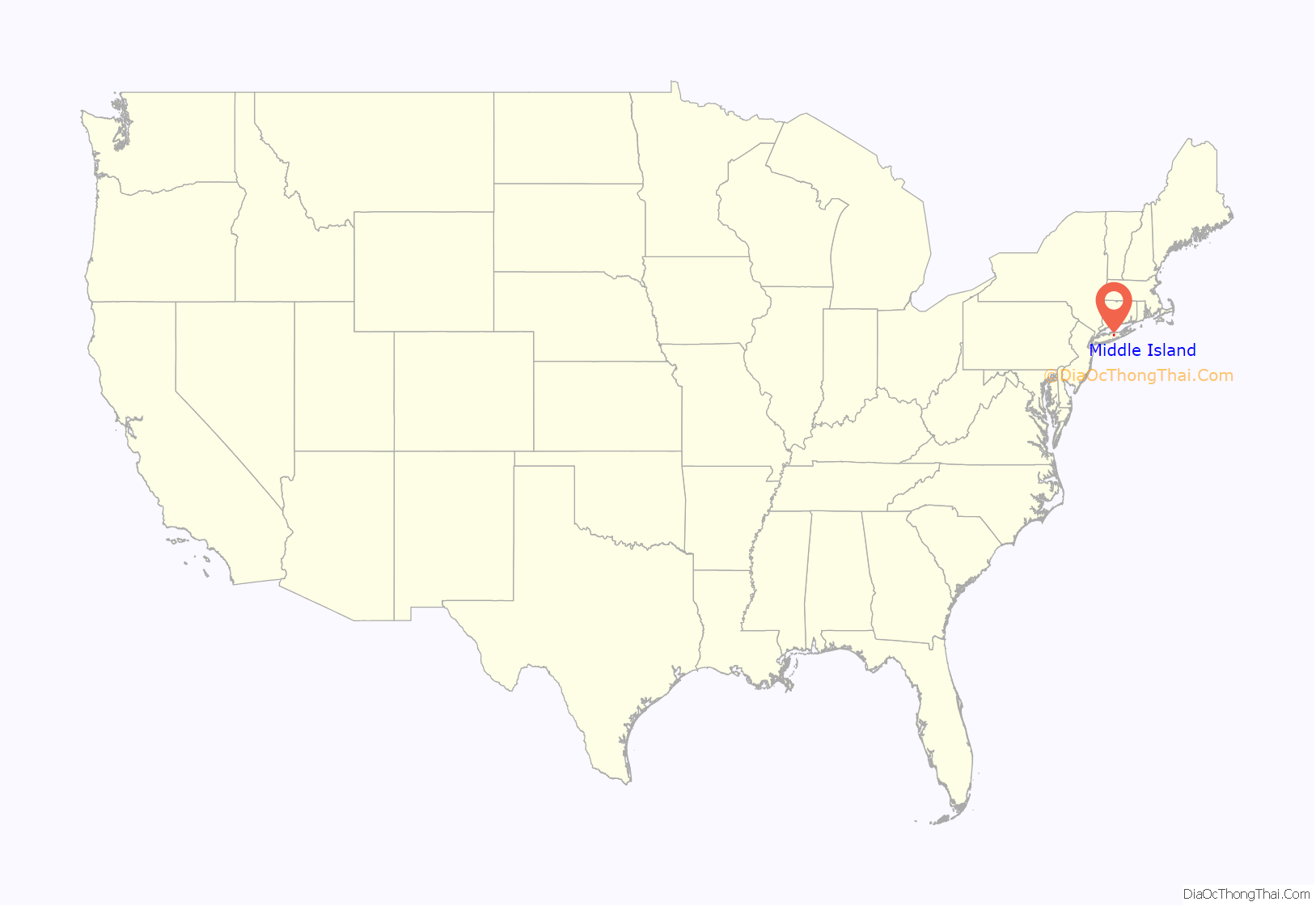
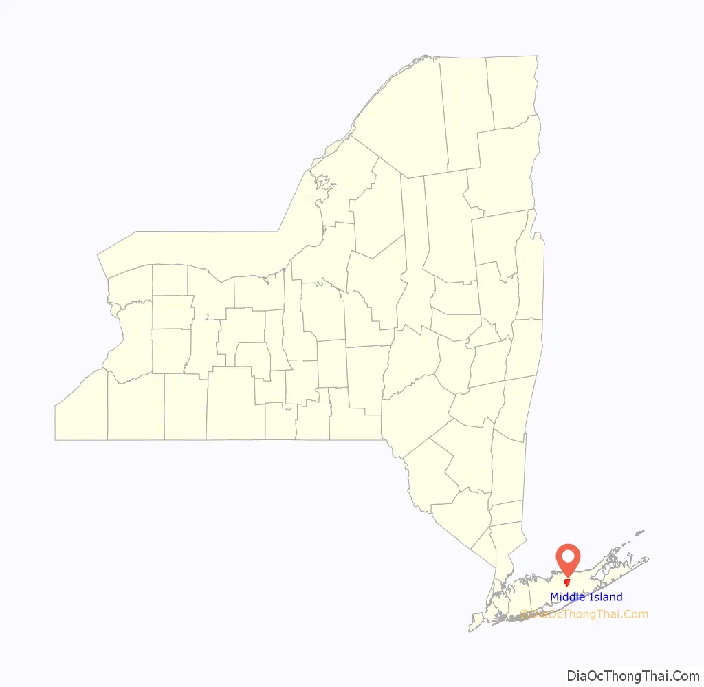
Middle Island location map. Where is Middle Island CDP?
History
The European-American history of Middle Island goes back at least to 1766, when the first Presbyterian church was built. Rev. David Rose, who was also a doctor and a pastor of the South Haven church, covered his immense parish on horseback. He filled his saddle bags with Bibles and medicines to minister to his frontier congregation. In 1766 the parish opened a cemetery just across from the church.
Around the same time, a veteran of the French and Indian War named Jonathan Edwards who admired the white pine trees of Quebec swiped the seedlings for himself and began planting them along what is today Middle Island-Miller Place Road. Many of these pine trees were spread throughout the community. A local farmer named William Dayton swiped some of the pine cones from the site of the original plantings in 1812 and brought them to his farm south of what is today Middle Country Road, towards an area of Yaphank-Middle Island Road north of Longwood Road. The area near the William Davis farmstead is now part of Prosser Pines and Cathedral Pines County Parks.
The first schoolhouse was built in 1813 east of the church. In 1837, a new church was built just to the rear of the older one. It served the community for 200 years until the new Christian Education building was built at the Longwood Estate in 1966.
For over 100 years (until it was burned down in 1971), Pfeiffer’s Store was a center of activity for Middle Island and surrounding communities. A nearby lake, known as Corwin’s Pond, was renamed “Artist Lake” after painter Alonzo Chappel settled there in 1869.
On October 27, 1910, the International Aviation Tournament was held at the Belmont Park racetrack in Elmont, New York. The meet offered $3,750 for the highest altitude, another $1,000 for a world record and a $5,000 bonus for exceeding 10,000 feet. Ralph Johnstone set a new American flight altitude record of 8,471 feet. During the flight, a gust of wind forced him to fly backwards, and he landed near Artist Lake.
Middle Island gained an influx of Estonian refugees during the 1940s and 1950s mainly around the Pine Lake area.
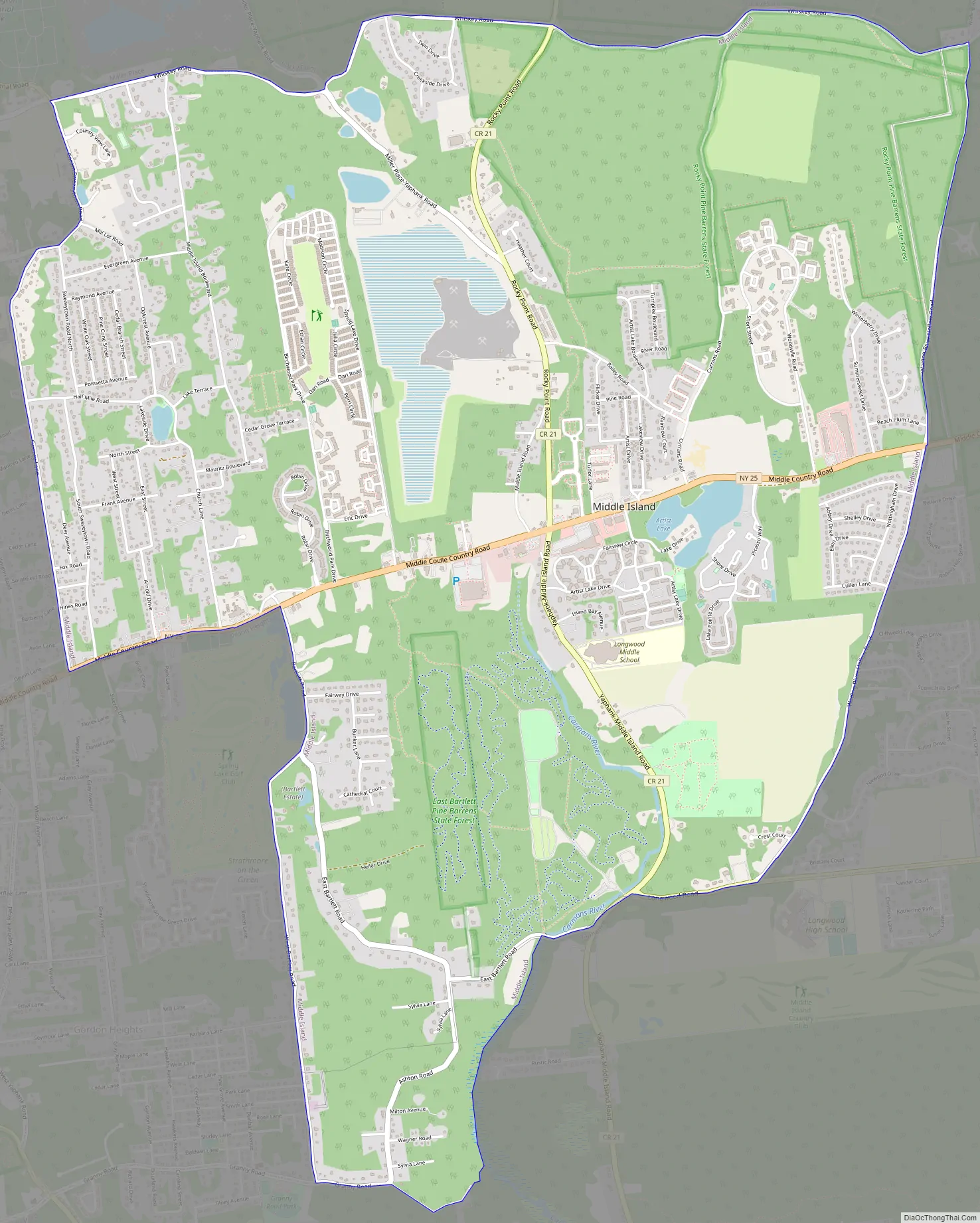
Middle Island Road Map
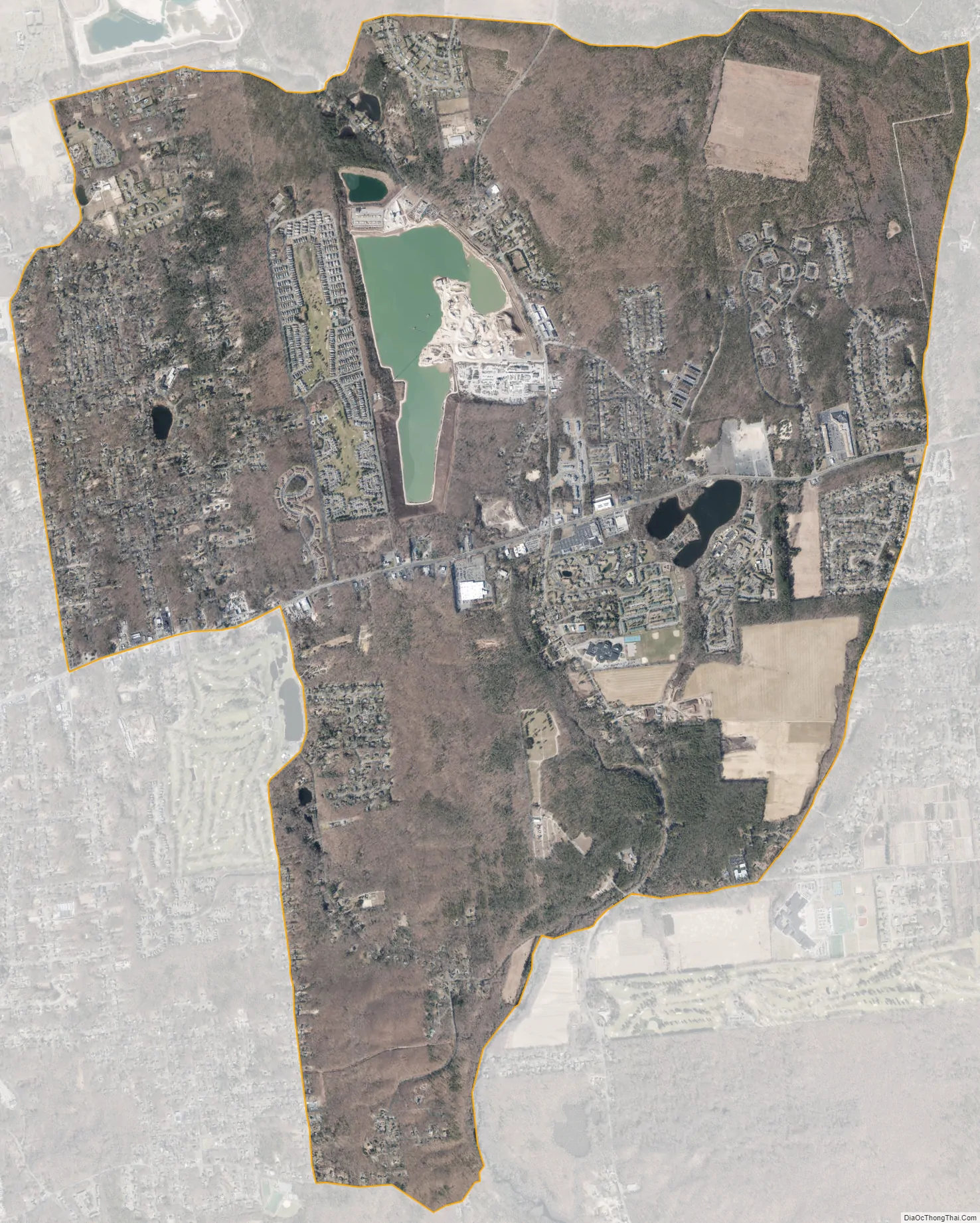
Middle Island city Satellite Map
Geography
According to the United States Census Bureau, the CDP has a total area of 8.3 square miles (21.5 km), of which 8.2 square miles (21.3 km) is land and 0.077 square miles (0.2 km), or 0.71%, is water.
Middle Island has several lakes including Artist Lake, Pine Lake, and Spring Lake. Middle Island also contains the headwaters of the Carmans River, which originally began at Pfeiffer’s Pond on the northeast corner of NY 25 and Old Middle Island Road, and now begins within Cathedral Pines County Park.
See also
Map of New York State and its subdivision:- Albany
- Allegany
- Bronx
- Broome
- Cattaraugus
- Cayuga
- Chautauqua
- Chemung
- Chenango
- Clinton
- Columbia
- Cortland
- Delaware
- Dutchess
- Erie
- Essex
- Franklin
- Fulton
- Genesee
- Greene
- Hamilton
- Herkimer
- Jefferson
- Kings
- Lake Ontario
- Lewis
- Livingston
- Madison
- Monroe
- Montgomery
- Nassau
- New York
- Niagara
- Oneida
- Onondaga
- Ontario
- Orange
- Orleans
- Oswego
- Otsego
- Putnam
- Queens
- Rensselaer
- Richmond
- Rockland
- Saint Lawrence
- Saratoga
- Schenectady
- Schoharie
- Schuyler
- Seneca
- Steuben
- Suffolk
- Sullivan
- Tioga
- Tompkins
- Ulster
- Warren
- Washington
- Wayne
- Westchester
- Wyoming
- Yates
- Alabama
- Alaska
- Arizona
- Arkansas
- California
- Colorado
- Connecticut
- Delaware
- District of Columbia
- Florida
- Georgia
- Hawaii
- Idaho
- Illinois
- Indiana
- Iowa
- Kansas
- Kentucky
- Louisiana
- Maine
- Maryland
- Massachusetts
- Michigan
- Minnesota
- Mississippi
- Missouri
- Montana
- Nebraska
- Nevada
- New Hampshire
- New Jersey
- New Mexico
- New York
- North Carolina
- North Dakota
- Ohio
- Oklahoma
- Oregon
- Pennsylvania
- Rhode Island
- South Carolina
- South Dakota
- Tennessee
- Texas
- Utah
- Vermont
- Virginia
- Washington
- West Virginia
- Wisconsin
- Wyoming


