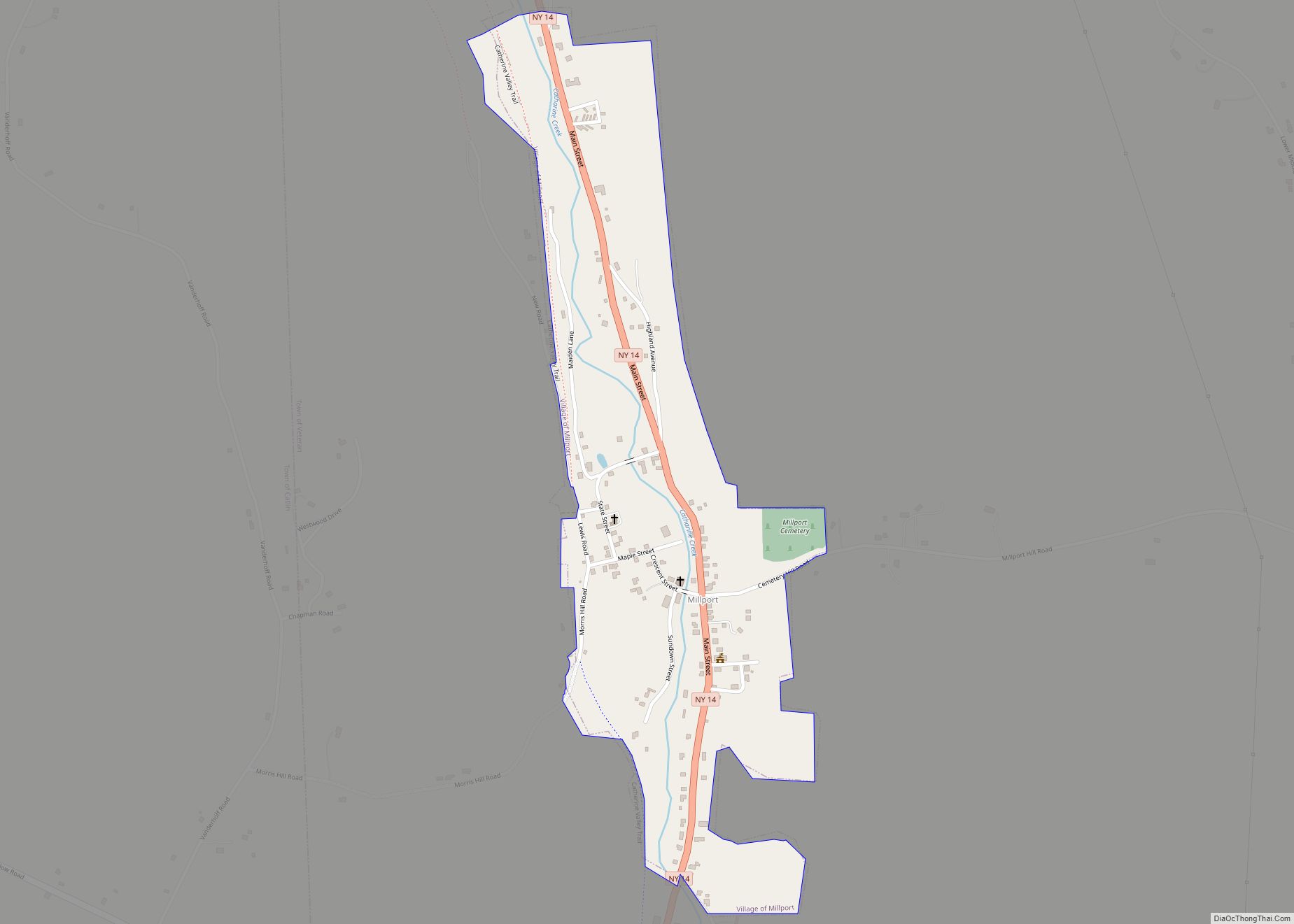
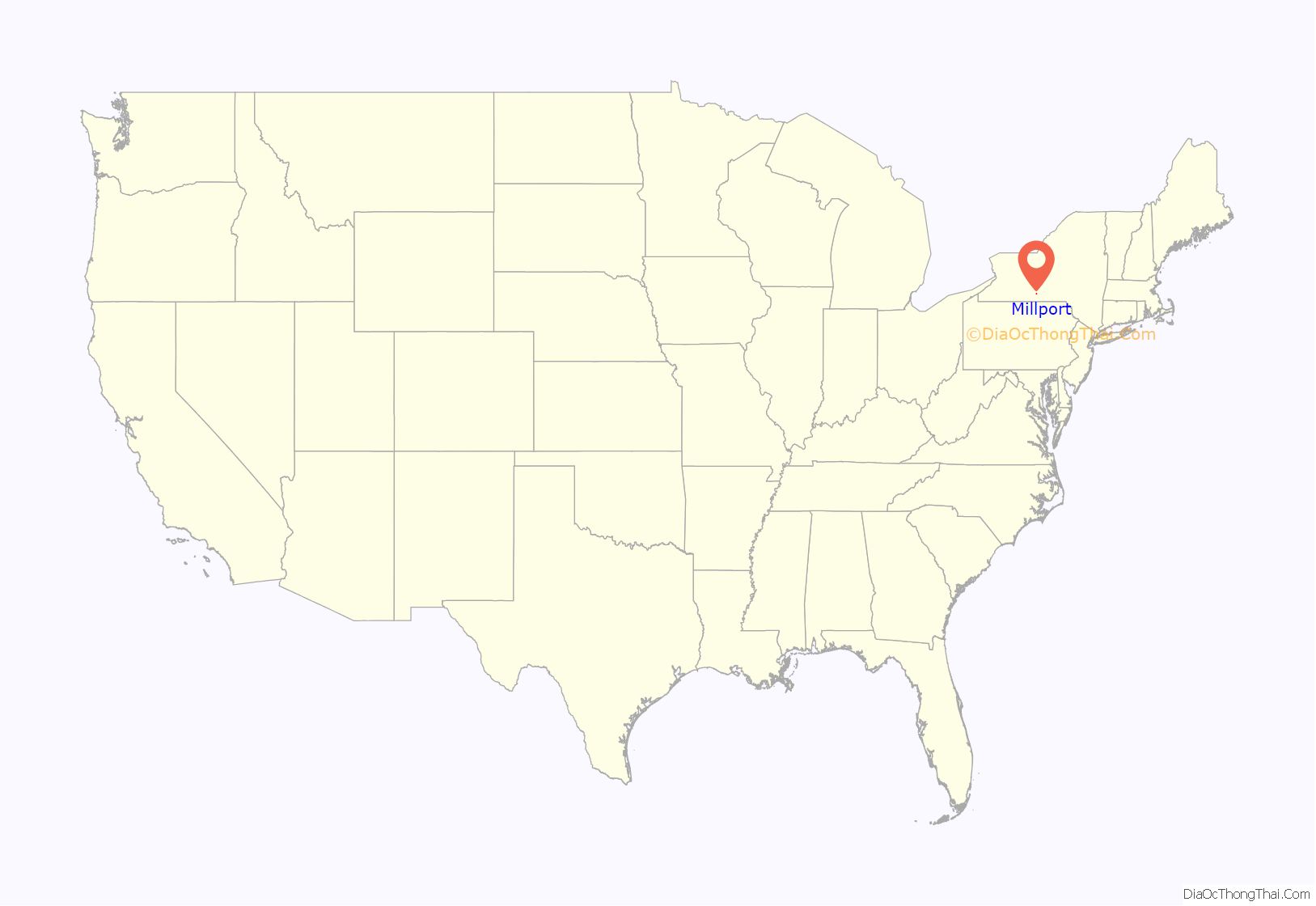
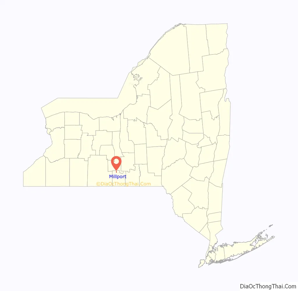
Millport is a village in Chemung County, New York, United States. The population was 312 at the 2010 census. The name comes from its former status as a canal port.
Millport is in the northwest quadrant of the town of Veteran and is north of Elmira. The mail ZIP code is 14864. It is part of the Elmira Metropolitan Statistical Area.
| Name: | Millport village |
|---|---|
| LSAD Code: | 47 |
| LSAD Description: | village (suffix) |
| State: | New York |
| County: | Chemung County |
| Elevation: | 719 ft (219 m) |
| Total Area: | 0.35 sq mi (0.90 km²) |
| Land Area: | 0.35 sq mi (0.90 km²) |
| Water Area: | 0.00 sq mi (0.00 km²) |
| Total Population: | 301 |
| Population Density: | 864.94/sq mi (334.02/km²) |
| ZIP code: | 14864 |
| Area code: | 607 |
| FIPS code: | 3647427 |
| GNISfeature ID: | 0957345 |
Online Interactive Map
Click on ![]() to view map in "full screen" mode.
to view map in "full screen" mode.
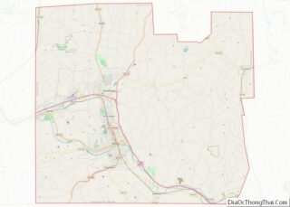
Millport location map. Where is Millport village?
History
The Sullivan Expedition of 1779 passed through the area.
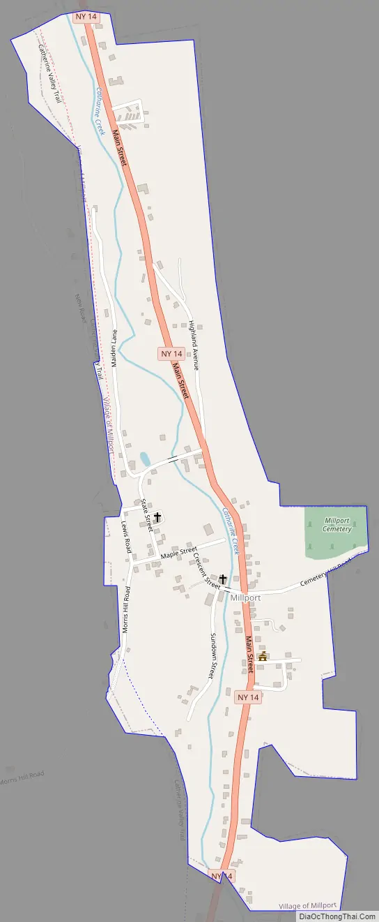
The town’s first settler, Green Bently, purchased and developed farmland on the site of the village in 1798. The community was once known as “Millvale” after the village was laid out in 1825. The name was changed to “Millport” in 1829 to recognize its new status by the Chemung Canal which passed by the village. The presence of the canal helped raise the population about 1,000 for a time. Catharine Creek, a north-flowing tributary of Seneca Lake, flows through the village.
In the 1840s, several epidemics reduced the population of Millport.
Millport Road Map
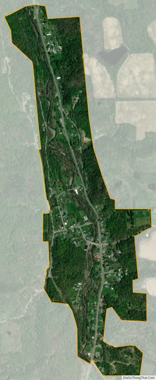
Millport city Satellite Map
Geography
Millport is located in northwestern Chemung County at 42°16′3″N 76°50′10″W / 42.26750°N 76.83611°W / 42.26750; -76.83611 (42.267634, -76.836122).
According to the United States Census Bureau, the village has a total area of 0.35 square miles (0.9 km), all land.
New York State Route 14 passes through the village, which is at the junction of County Road 6A.
See also
Map of New York State and its subdivision:- Albany
- Allegany
- Bronx
- Broome
- Cattaraugus
- Cayuga
- Chautauqua
- Chemung
- Chenango
- Clinton
- Columbia
- Cortland
- Delaware
- Dutchess
- Erie
- Essex
- Franklin
- Fulton
- Genesee
- Greene
- Hamilton
- Herkimer
- Jefferson
- Kings
- Lake Ontario
- Lewis
- Livingston
- Madison
- Monroe
- Montgomery
- Nassau
- New York
- Niagara
- Oneida
- Onondaga
- Ontario
- Orange
- Orleans
- Oswego
- Otsego
- Putnam
- Queens
- Rensselaer
- Richmond
- Rockland
- Saint Lawrence
- Saratoga
- Schenectady
- Schoharie
- Schuyler
- Seneca
- Steuben
- Suffolk
- Sullivan
- Tioga
- Tompkins
- Ulster
- Warren
- Washington
- Wayne
- Westchester
- Wyoming
- Yates
- Alabama
- Alaska
- Arizona
- Arkansas
- California
- Colorado
- Connecticut
- Delaware
- District of Columbia
- Florida
- Georgia
- Hawaii
- Idaho
- Illinois
- Indiana
- Iowa
- Kansas
- Kentucky
- Louisiana
- Maine
- Maryland
- Massachusetts
- Michigan
- Minnesota
- Mississippi
- Missouri
- Montana
- Nebraska
- Nevada
- New Hampshire
- New Jersey
- New Mexico
- New York
- North Carolina
- North Dakota
- Ohio
- Oklahoma
- Oregon
- Pennsylvania
- Rhode Island
- South Carolina
- South Dakota
- Tennessee
- Texas
- Utah
- Vermont
- Virginia
- Washington
- West Virginia
- Wisconsin
- Wyoming