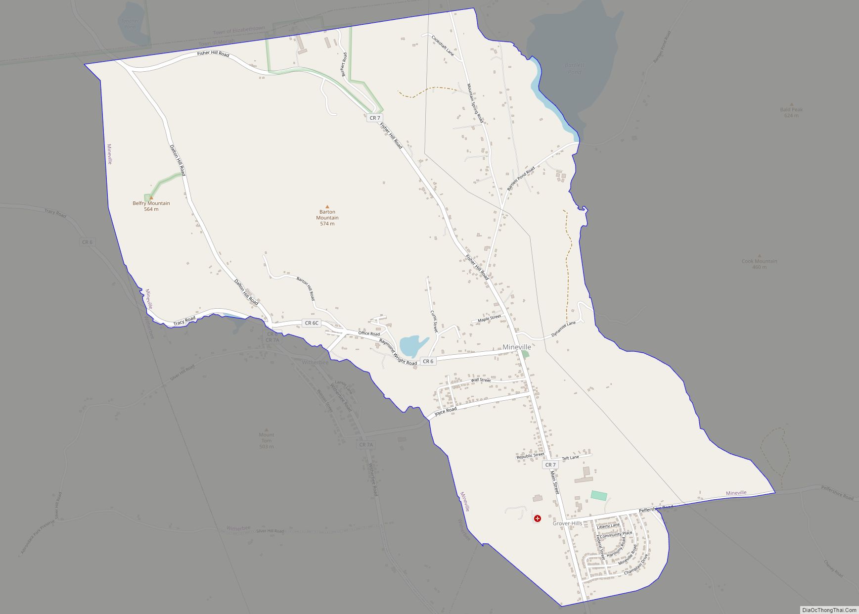
Mineville is a hamlet and census-designated place (CDP) in the town of Moriah in Essex County, New York. The population was 1,269 at the 2010 census. Prior to the 2010 census, it was part of the Mineville-Witherbee, New York census-designated place. Mineville and Witherbee are located in the northern part of Moriah, northwest of Port Henry. Mineville was named for the iron ore mines that used to operate here.
| Name: | Mineville CDP |
|---|---|
| LSAD Code: | 57 |
| LSAD Description: | CDP (suffix) |
| State: | New York |
| County: | Essex County |
| Elevation: | 1,306 ft (398 m) |
| Total Area: | 3.72 sq mi (9.63 km²) |
| Land Area: | 3.70 sq mi (9.59 km²) |
| Water Area: | 0.02 sq mi (0.04 km²) |
| Total Population: | 1,327 |
| Population Density: | 358.45/sq mi (138.40/km²) |
| ZIP code: | 12956 |
| FIPS code: | 3647702 |
Online Interactive Map
Click on ![]() to view map in "full screen" mode.
to view map in "full screen" mode.
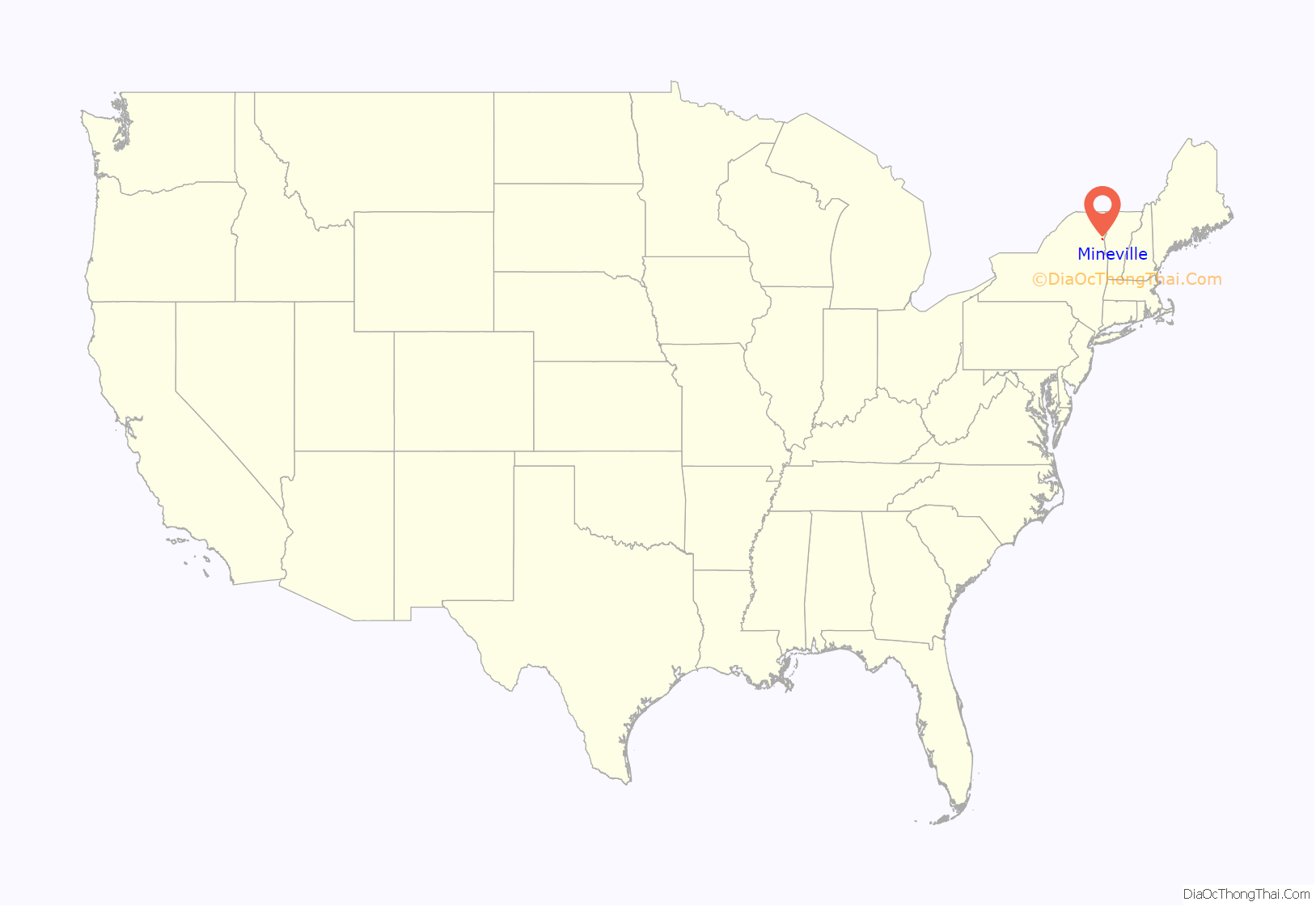
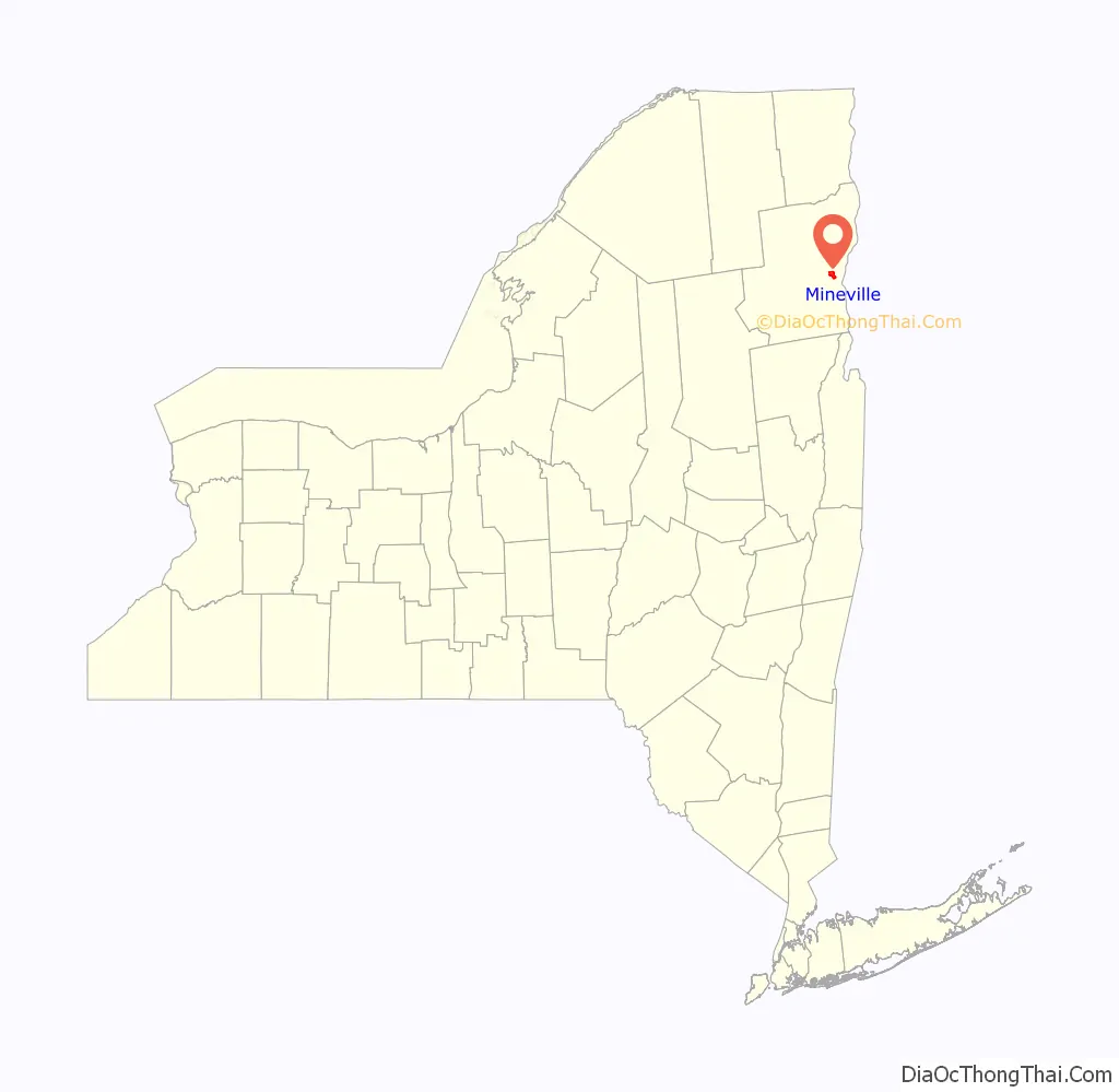
Mineville location map. Where is Mineville CDP?
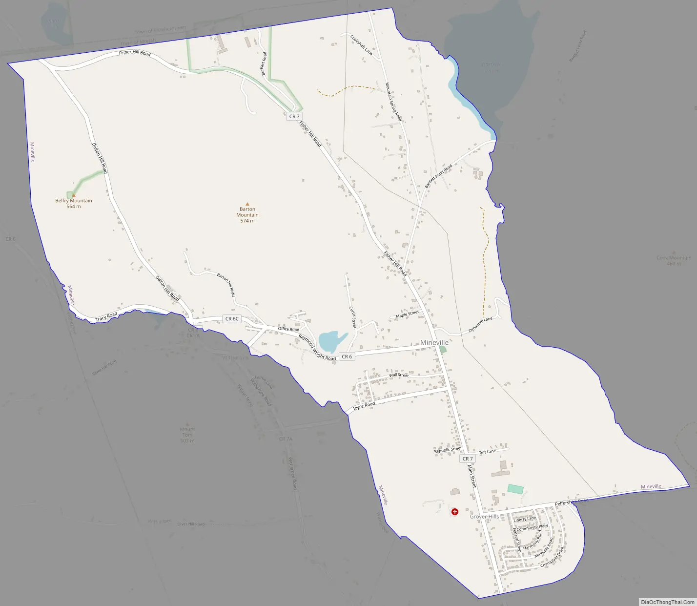
Mineville Road Map
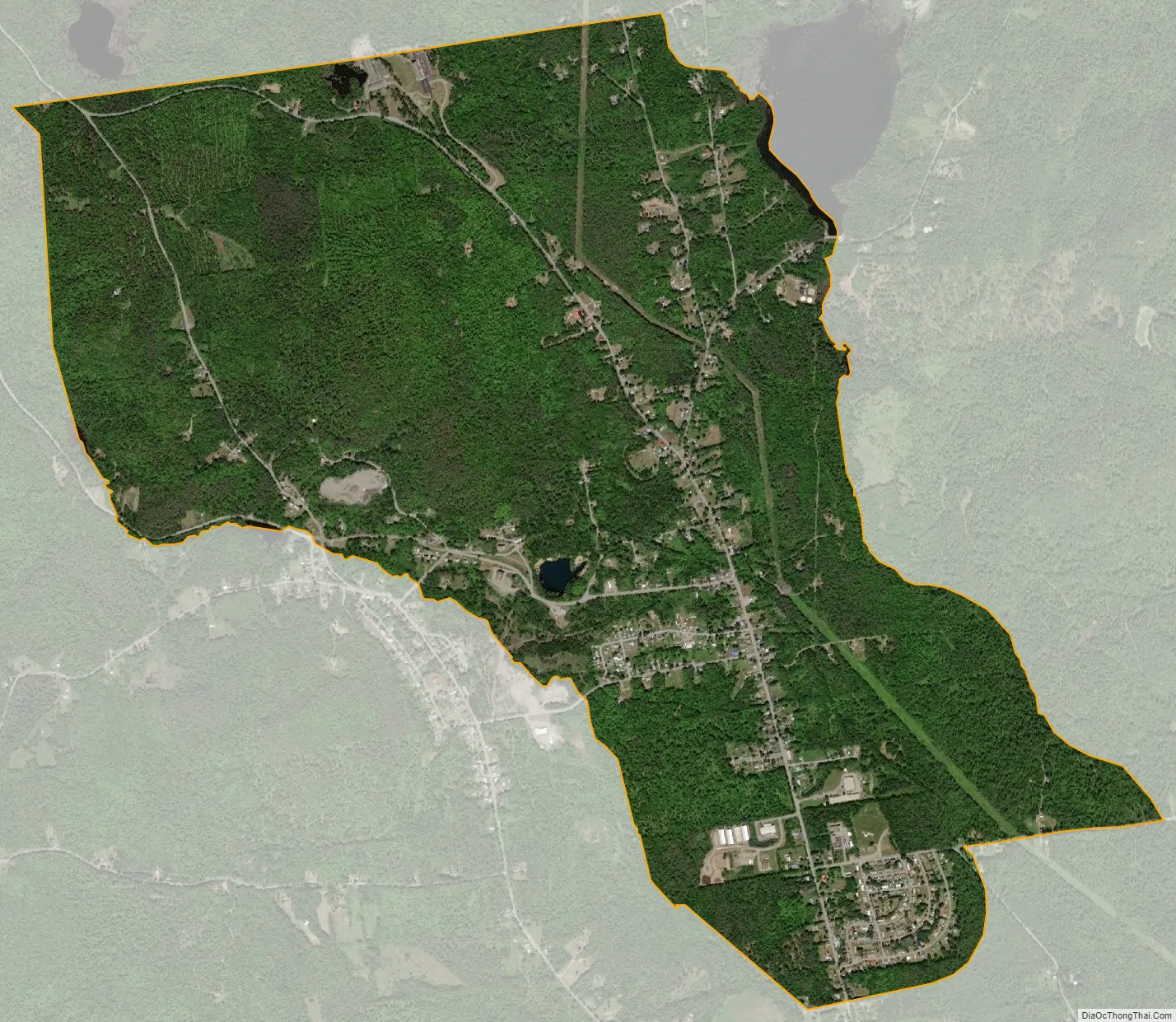
Mineville city Satellite Map
Geography
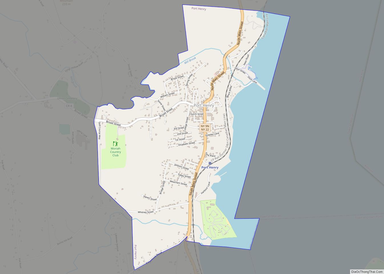
Mineville is located at 44°5′35″N 73°31′6″W / 44.09306°N 73.51833°W / 44.09306; -73.51833. According to the U.S. Census Bureau, the CDP has a total area of 3.7 square miles (9.6 km), of which 0.01 square miles (0.02 km), or 0.17%, is water. The CDP is located along County Road 7 at the junction of County Road 6, 5 miles (8 km) northwest of Port Henry.
See also
Map of New York State and its subdivision:- Albany
- Allegany
- Bronx
- Broome
- Cattaraugus
- Cayuga
- Chautauqua
- Chemung
- Chenango
- Clinton
- Columbia
- Cortland
- Delaware
- Dutchess
- Erie
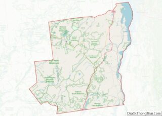
- Essex
- Franklin
- Fulton
- Genesee
- Greene
- Hamilton
- Herkimer
- Jefferson
- Kings
- Lake Ontario
- Lewis
- Livingston
- Madison
- Monroe
- Montgomery
- Nassau
- New York
- Niagara
- Oneida
- Onondaga
- Ontario
- Orange
- Orleans
- Oswego
- Otsego
- Putnam
- Queens
- Rensselaer
- Richmond
- Rockland
- Saint Lawrence
- Saratoga
- Schenectady
- Schoharie
- Schuyler
- Seneca
- Steuben
- Suffolk
- Sullivan
- Tioga
- Tompkins
- Ulster
- Warren
- Washington
- Wayne
- Westchester
- Wyoming
- Yates
- Alabama
- Alaska
- Arizona
- Arkansas
- California
- Colorado
- Connecticut
- Delaware
- District of Columbia
- Florida
- Georgia
- Hawaii
- Idaho
- Illinois
- Indiana
- Iowa
- Kansas
- Kentucky
- Louisiana
- Maine
- Maryland
- Massachusetts
- Michigan
- Minnesota
- Mississippi
- Missouri
- Montana
- Nebraska
- Nevada
- New Hampshire
- New Jersey
- New Mexico
- New York
- North Carolina
- North Dakota
- Ohio
- Oklahoma
- Oregon
- Pennsylvania
- Rhode Island
- South Carolina
- South Dakota
- Tennessee
- Texas
- Utah
- Vermont
- Virginia
- Washington
- West Virginia
- Wisconsin
- Wyoming