Mooers, formerly Mooers-upon-the-Chazy, is a hamlet and census-designated place in the town of Mooers, in Clinton County, New York, United States. The population was 442 at the 2010 census, out of a total population of 3,592 in the town. It was once an incorporated village, but dissolved in 1994.
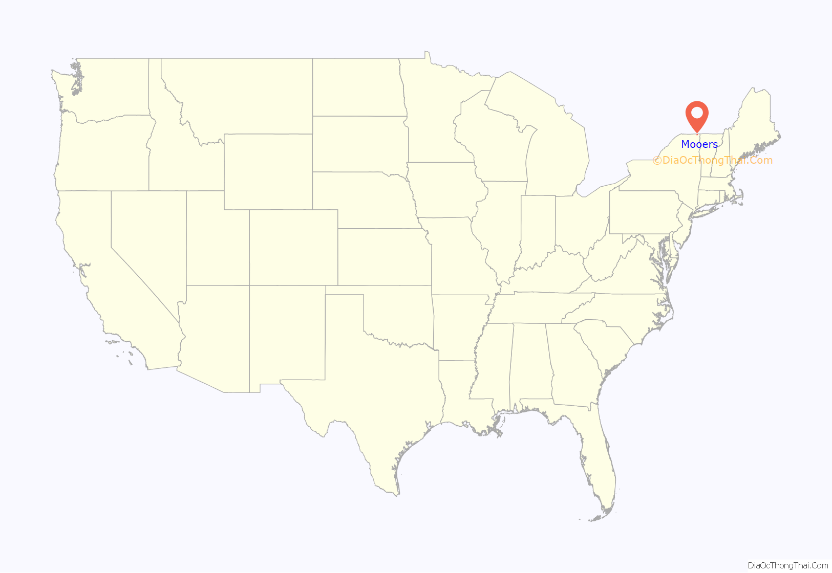
Mooers is in northern New York state, near the Canada–United States border with the Canadian province of Quebec.
| Name: | Mooers CDP |
|---|---|
| LSAD Code: | 57 |
| LSAD Description: | CDP (suffix) |
| State: | New York |
| County: | Clinton County |
| Incorporated: | September 1899 |
| Elevation: | 282 ft (86 m) |
| Total Area: | 1.25 sq mi (3.25 km²) |
| Land Area: | 1.21 sq mi (3.14 km²) |
| Water Area: | 0.04 sq mi (0.11 km²) |
| Total Population: | 451 |
| Population Density: | 371.50/sq mi (143.48/km²) |
| ZIP code: | 12958 |
| Area code: | 518 |
| FIPS code: | 3648241 |
| GNISfeature ID: | 2389503 |
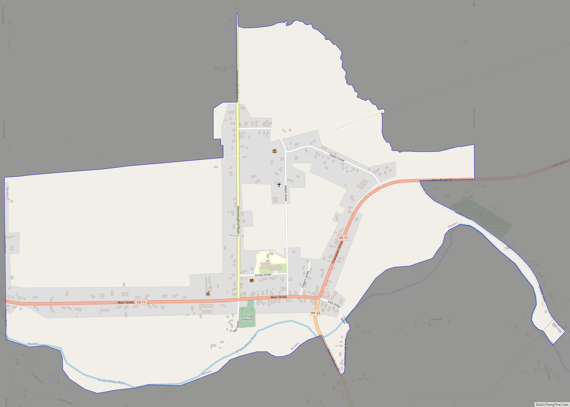
Online Interactive Map
Click on ![]() to view map in "full screen" mode.
to view map in "full screen" mode.
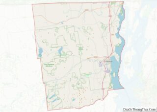
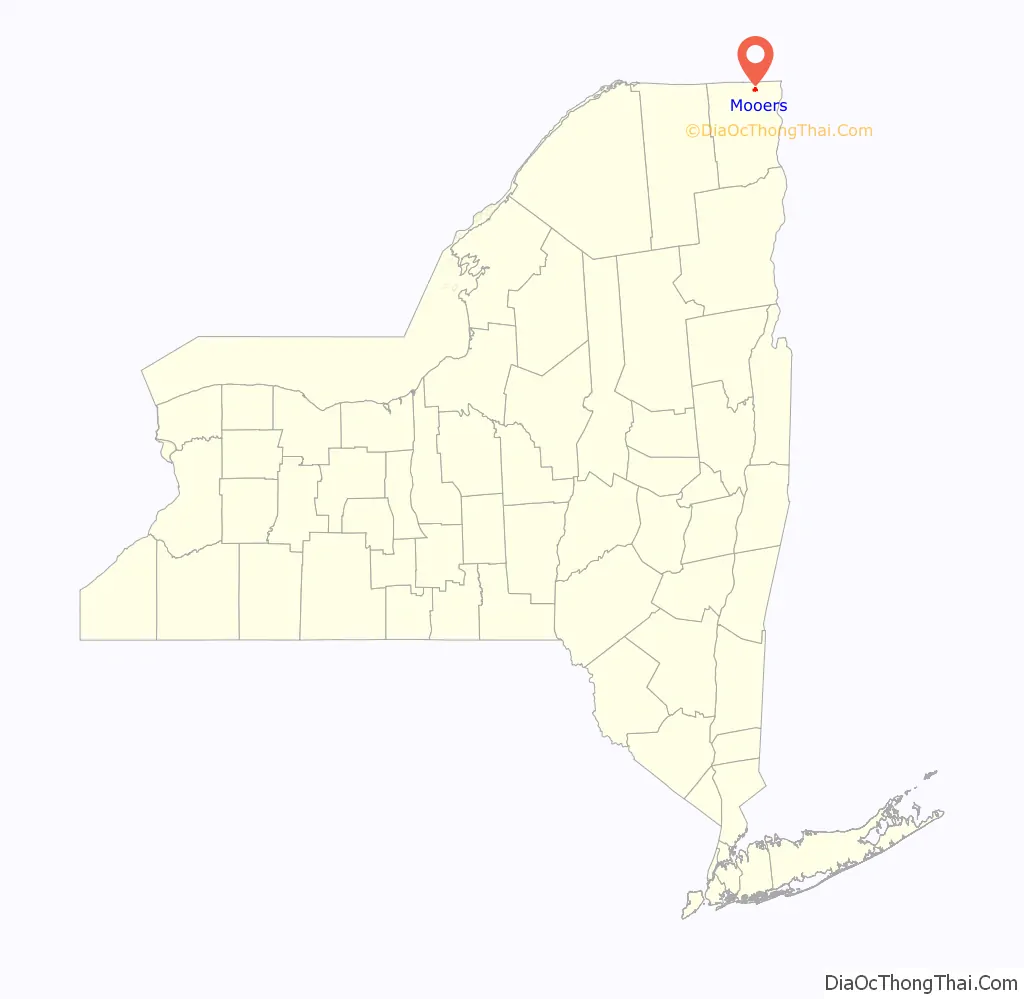
Mooers location map. Where is Mooers CDP?
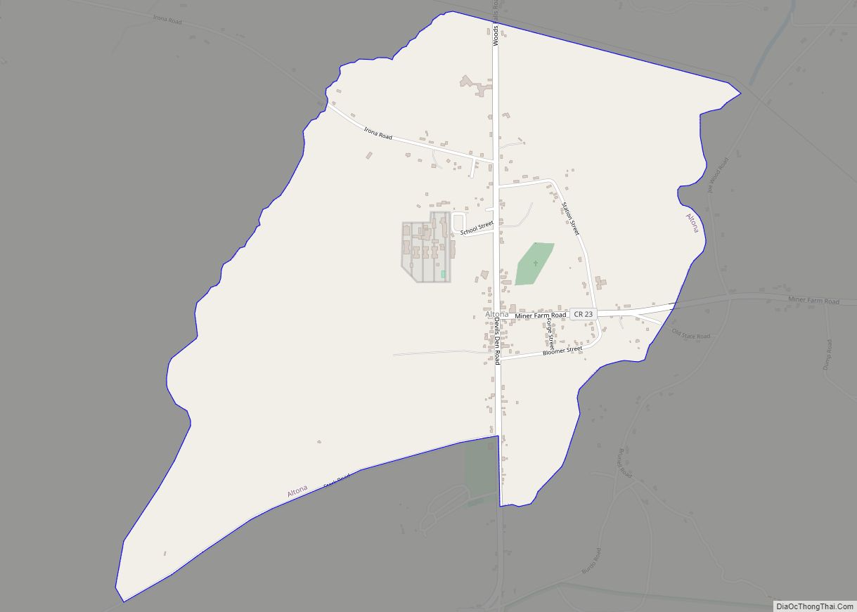
Mooers Road Map
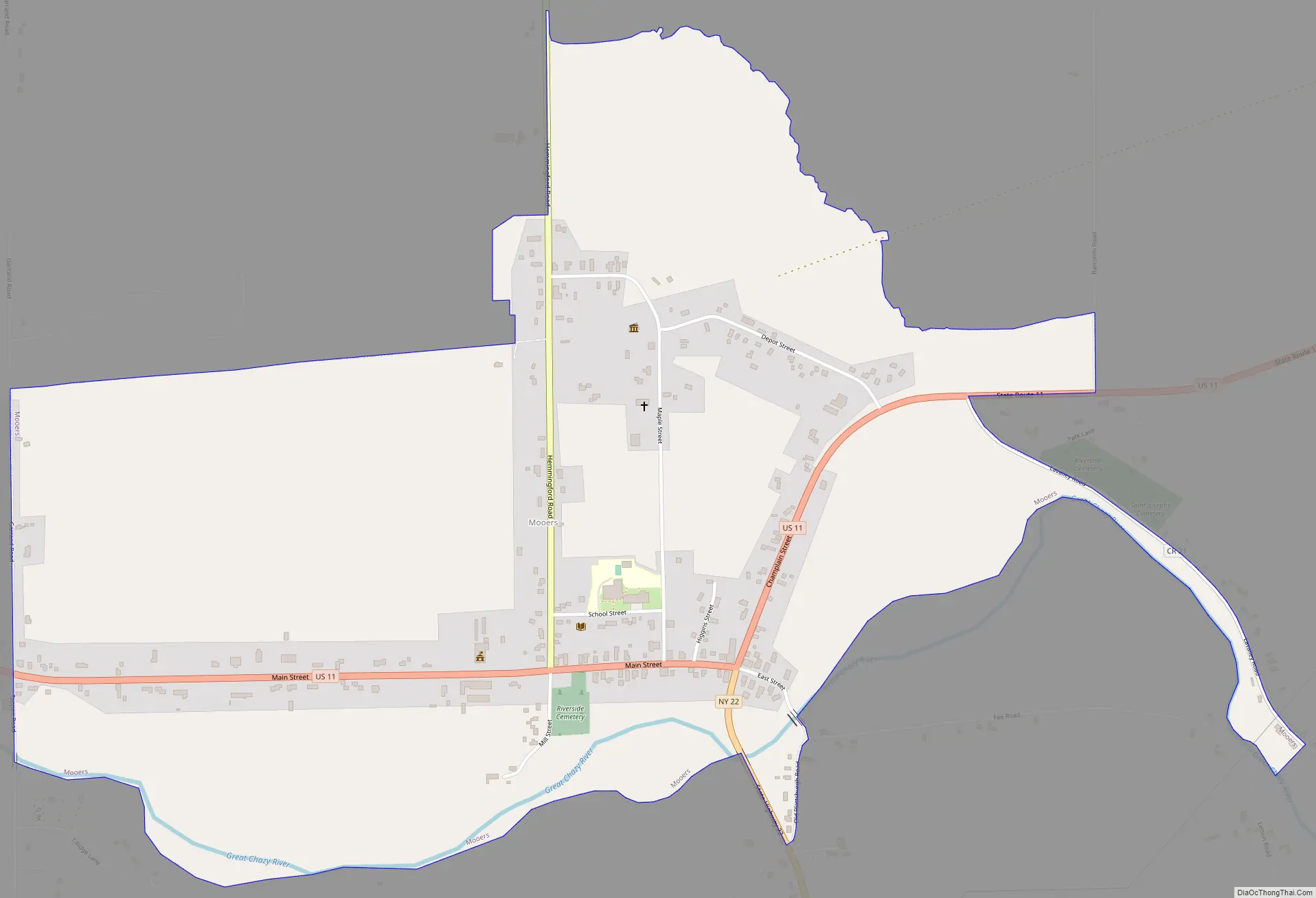
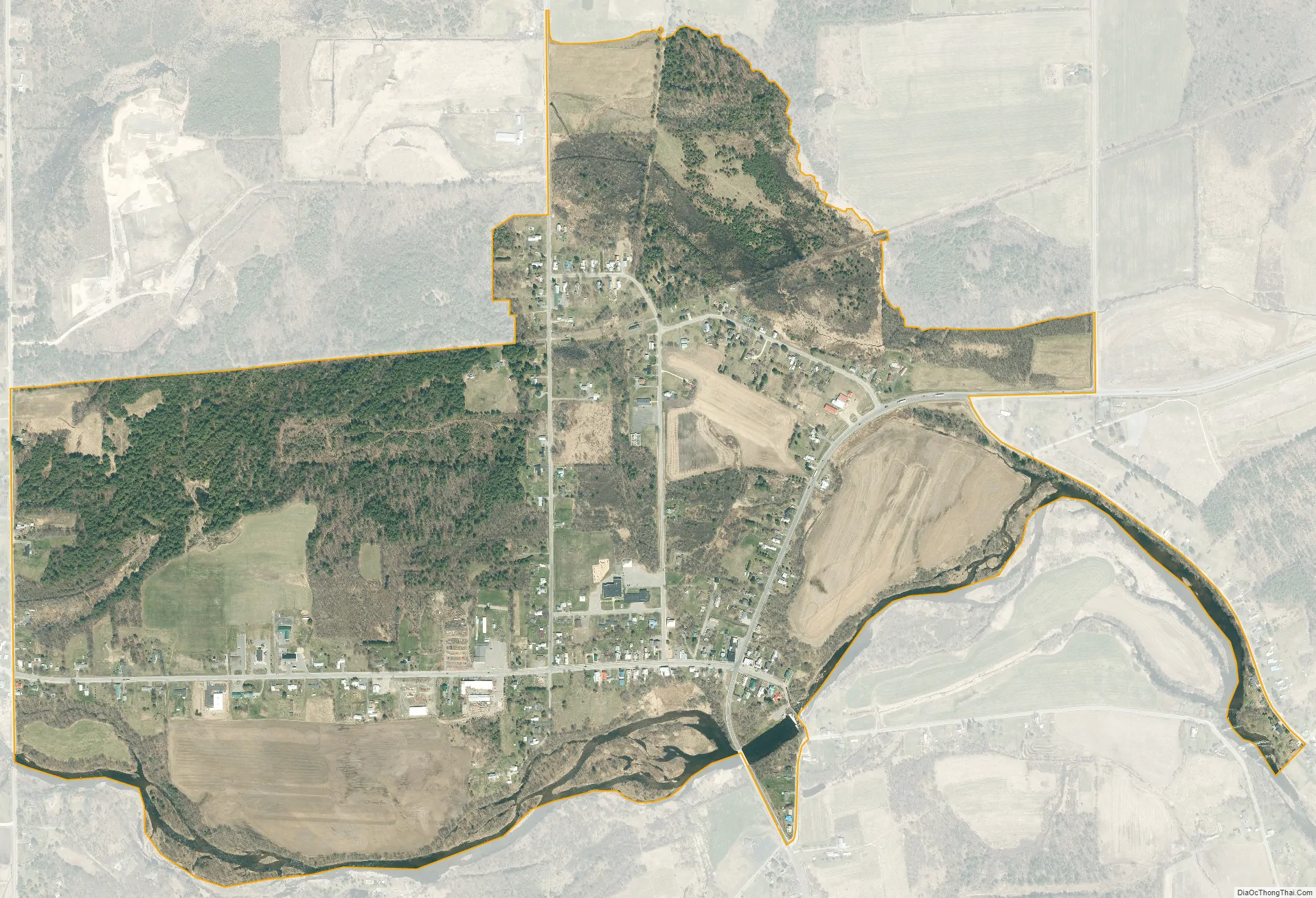
Mooers city Satellite Map
Geography
The hamlet of Mooers is located in the eastern part of the town of Mooers at 44°57′37″N 73°35′0″W / 44.96028°N 73.58333°W / 44.96028; -73.58333 (44.96053, -73.58337), 3 miles (5 km) south of the Canada–US border. The community is at the junction of U.S. Route 11 and New York State Route 22 on the north side of the Great Chazy River. US-11 leads east 6 miles (10 km) to Interstate 87 at the village of Champlain and west 27 miles (43 km) to Chateaugay, while NY-22 leads south 20 miles (32 km) to Plattsburgh, the county seat.
According to the United States Census Bureau, the Mooers CDP has a total area of 1.2 square miles (3.2 km), of which 1.2 square miles (3.1 km) is land and 0.04 square miles (0.1 km), or 3.08%, is water.
See also
Map of New York State and its subdivision:- Albany
- Allegany
- Bronx
- Broome
- Cattaraugus
- Cayuga
- Chautauqua
- Chemung
- Chenango
- Clinton
- Columbia
- Cortland
- Delaware
- Dutchess
- Erie
- Essex
- Franklin
- Fulton
- Genesee
- Greene
- Hamilton
- Herkimer
- Jefferson
- Kings
- Lake Ontario
- Lewis
- Livingston
- Madison
- Monroe
- Montgomery
- Nassau
- New York
- Niagara
- Oneida
- Onondaga
- Ontario
- Orange
- Orleans
- Oswego
- Otsego
- Putnam
- Queens
- Rensselaer
- Richmond
- Rockland
- Saint Lawrence
- Saratoga
- Schenectady
- Schoharie
- Schuyler
- Seneca
- Steuben
- Suffolk
- Sullivan
- Tioga
- Tompkins
- Ulster
- Warren
- Washington
- Wayne
- Westchester
- Wyoming
- Yates
- Alabama
- Alaska
- Arizona
- Arkansas
- California
- Colorado
- Connecticut
- Delaware
- District of Columbia
- Florida
- Georgia
- Hawaii
- Idaho
- Illinois
- Indiana
- Iowa
- Kansas
- Kentucky
- Louisiana
- Maine
- Maryland
- Massachusetts
- Michigan
- Minnesota
- Mississippi
- Missouri
- Montana
- Nebraska
- Nevada
- New Hampshire
- New Jersey
- New Mexico
- New York
- North Carolina
- North Dakota
- Ohio
- Oklahoma
- Oregon
- Pennsylvania
- Rhode Island
- South Carolina
- South Dakota
- Tennessee
- Texas
- Utah
- Vermont
- Virginia
- Washington
- West Virginia
- Wisconsin
- Wyoming