Morrisonville is a hamlet and census-designated place in Clinton County, New York, United States. The population was 1,545 at the 2010 census.
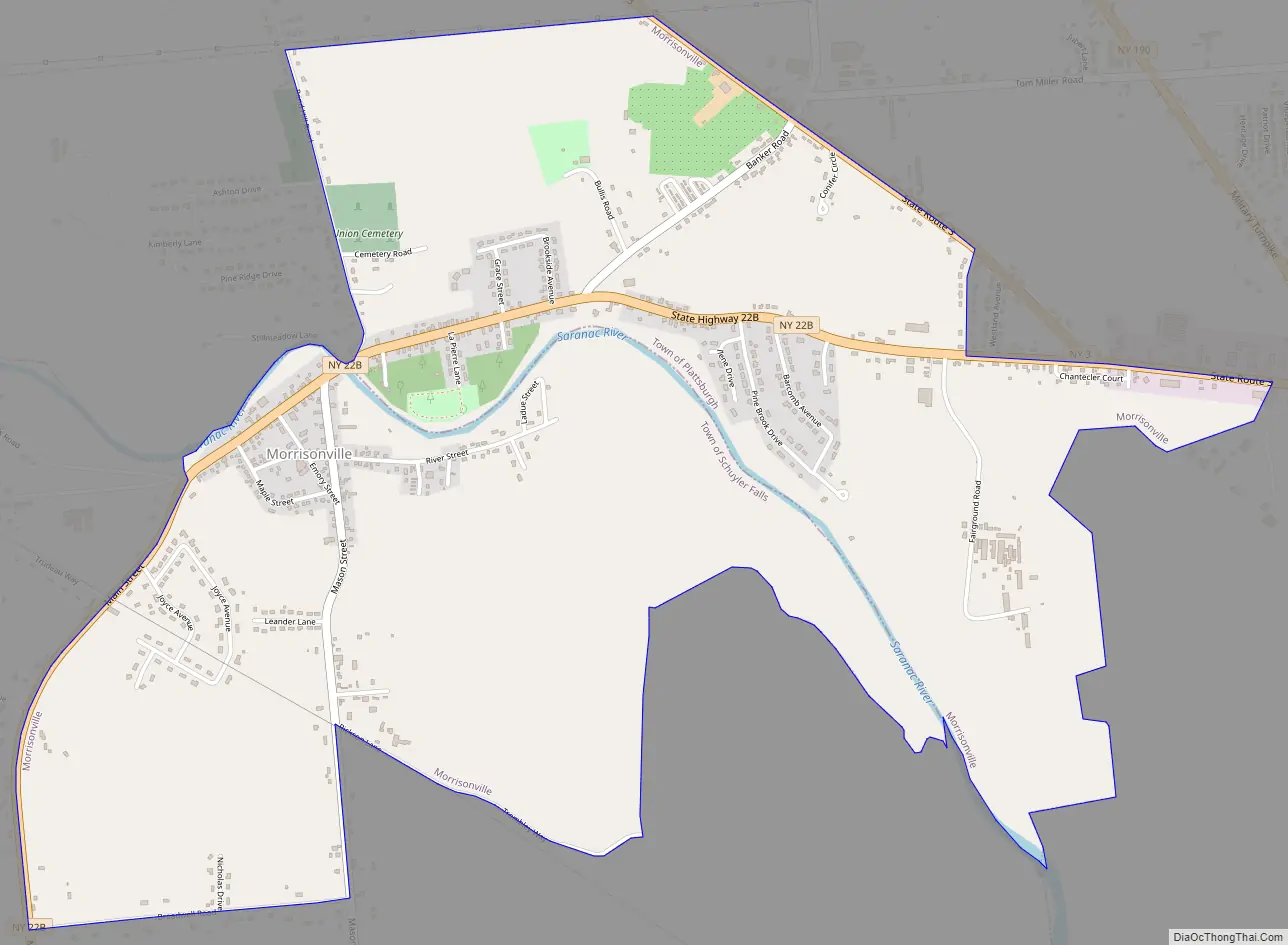
Morrisonville is divided between the towns of Plattsburgh and Schuyler Falls by the Saranac River, which defines the boundary between the two towns. The community is west of the city of Plattsburgh.
| Name: | Morrisonville CDP |
|---|---|
| LSAD Code: | 57 |
| LSAD Description: | CDP (suffix) |
| State: | New York |
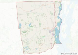
| County: | Clinton County |
| Elevation: | 361 ft (110 m) |
| Total Area: | 3.49 sq mi (9.05 km²) |
| Land Area: | 3.36 sq mi (8.71 km²) |
| Water Area: | 0.13 sq mi (0.34 km²) |
| Total Population: | 1,893 |
| Population Density: | 563.06/sq mi (217.42/km²) |
| ZIP code: | 12962 |
| Area code: | 518 |
| FIPS code: | 3648538 |
| GNISfeature ID: | 0957705 |
Online Interactive Map
Click on ![]() to view map in "full screen" mode.
to view map in "full screen" mode.
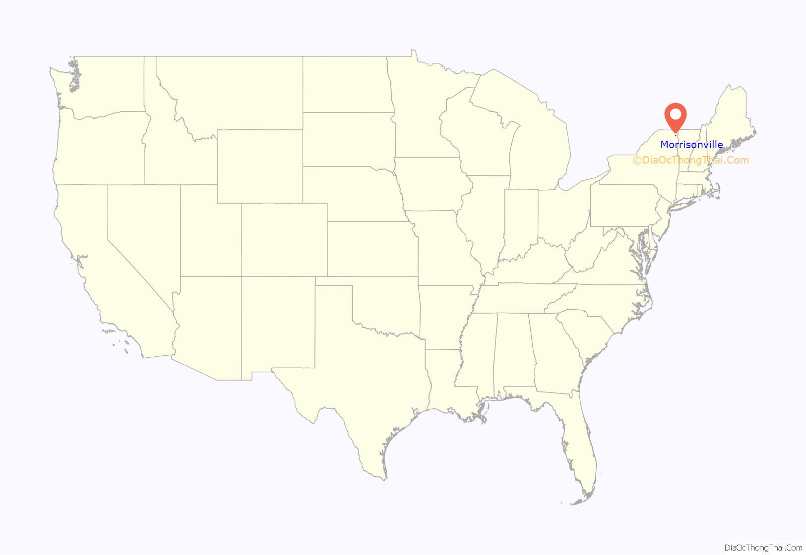
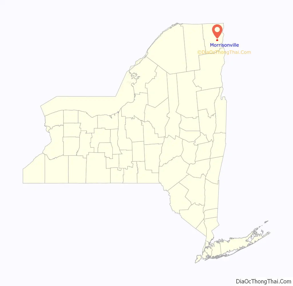
Morrisonville location map. Where is Morrisonville CDP?
Morrisonville Road Map
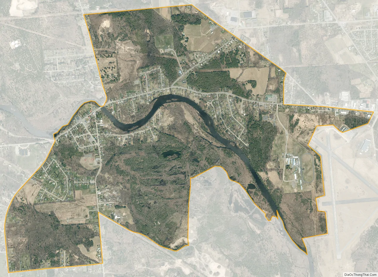
Morrisonville city Satellite Map
Geography
Morrisonville is located 5 miles (8 km) west of downtown Plattsburgh at 44°41′27″N 73°33′3″W / 44.69083°N 73.55083°W / 44.69083; -73.55083 (44.690778, -73.550775). New York State Route 22B passes through the village, beginning at New York State Route 3 near the eastern end of the CDP and leading south to the hamlets of Schuyler Falls and Peru.
According to the United States Census Bureau, the Morrisonville CDP has a total area of 2.7 square miles (7.0 km), of which 2.6 square miles (6.8 km) is land and 0.08 square miles (0.2 km), or 3.35%, is water.
See also
Map of New York State and its subdivision:- Albany
- Allegany
- Bronx
- Broome
- Cattaraugus
- Cayuga
- Chautauqua
- Chemung
- Chenango
- Clinton
- Columbia
- Cortland
- Delaware
- Dutchess
- Erie
- Essex
- Franklin
- Fulton
- Genesee
- Greene
- Hamilton
- Herkimer
- Jefferson
- Kings
- Lake Ontario
- Lewis
- Livingston
- Madison
- Monroe
- Montgomery
- Nassau
- New York
- Niagara
- Oneida
- Onondaga
- Ontario
- Orange
- Orleans
- Oswego
- Otsego
- Putnam
- Queens
- Rensselaer
- Richmond
- Rockland
- Saint Lawrence
- Saratoga
- Schenectady
- Schoharie
- Schuyler
- Seneca
- Steuben
- Suffolk
- Sullivan
- Tioga
- Tompkins
- Ulster
- Warren
- Washington
- Wayne
- Westchester
- Wyoming
- Yates
- Alabama
- Alaska
- Arizona
- Arkansas
- California
- Colorado
- Connecticut
- Delaware
- District of Columbia
- Florida
- Georgia
- Hawaii
- Idaho
- Illinois
- Indiana
- Iowa
- Kansas
- Kentucky
- Louisiana
- Maine
- Maryland
- Massachusetts
- Michigan
- Minnesota
- Mississippi
- Missouri
- Montana
- Nebraska
- Nevada
- New Hampshire
- New Jersey
- New Mexico
- New York
- North Carolina
- North Dakota
- Ohio
- Oklahoma
- Oregon
- Pennsylvania
- Rhode Island
- South Carolina
- South Dakota
- Tennessee
- Texas
- Utah
- Vermont
- Virginia
- Washington
- West Virginia
- Wisconsin
- Wyoming