Munnsville is a village located in the Town of Stockbridge in Madison County, New York, United States. The population was 474 at the 2010 census. The village is named for an early settler, Asa Munn, and located on New York State Route 46.
| Name: | Munnsville village |
|---|---|
| LSAD Code: | 47 |
| LSAD Description: | village (suffix) |
| State: | New York |
| County: | Madison County |
| Elevation: | 659 ft (201 m) |
| Total Area: | 0.88 sq mi (2.27 km²) |
| Land Area: | 0.88 sq mi (2.27 km²) |
| Water Area: | 0.00 sq mi (0.00 km²) |
| Total Population: | 454 |
| Population Density: | 518.26/sq mi (200.19/km²) |
| ZIP code: | 13409 |
| Area code: | 315 |
| FIPS code: | 3649220 |
| GNISfeature ID: | 2391001 |
Online Interactive Map
Click on ![]() to view map in "full screen" mode.
to view map in "full screen" mode.
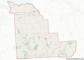
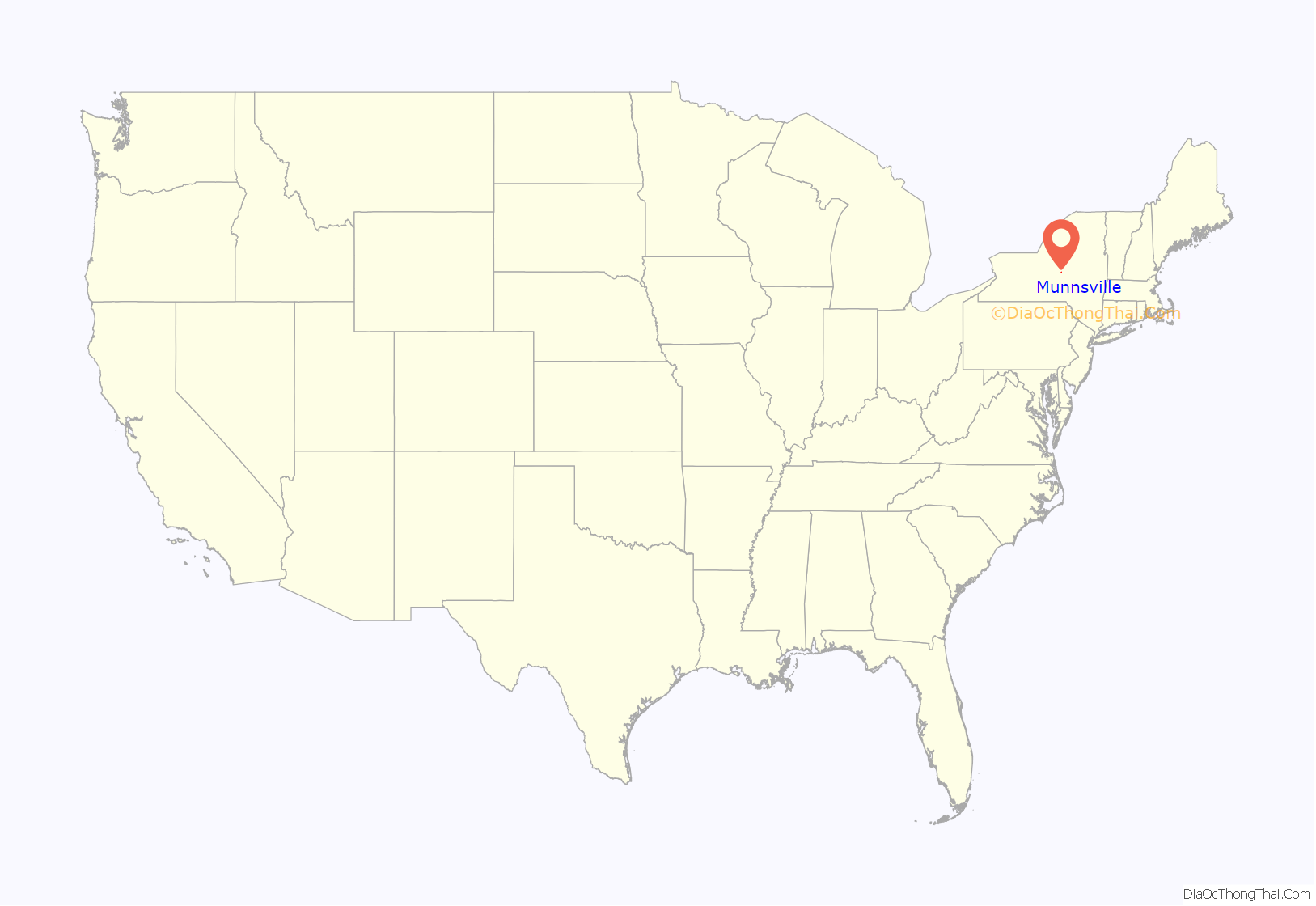
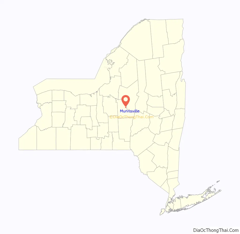
Munnsville location map. Where is Munnsville village?
History
Asa Munn opened a mercantile business in the community circa 1817.
In 1990 the village received national media attention and interviews by Connie Chung when a local dairy farmer, Delbert Ward, allegedly murdered his brother William Ward by suffocation. Delbert was found not guilty at trial. In 1992, this incident was examined in the documentary Brother’s Keeper.
Munnsville became a world-renowned racing location for skateboarding because of the Madison County Gravity Festival, which began in 2002. Skateboarders from all over North America and Europe descend on the town for the last weekend of July and race their skateboards at speeds up to 95 km/h.
The former Munnsville depot of the defunct (March 29, 1957) New York, Ontario & Western Railway is now a private residence, occupied by NYO&W historian and author John Taibi.
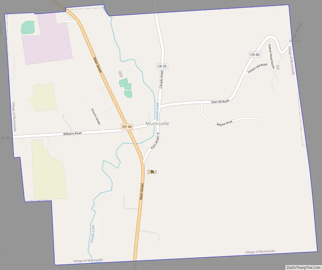
Munnsville Road Map
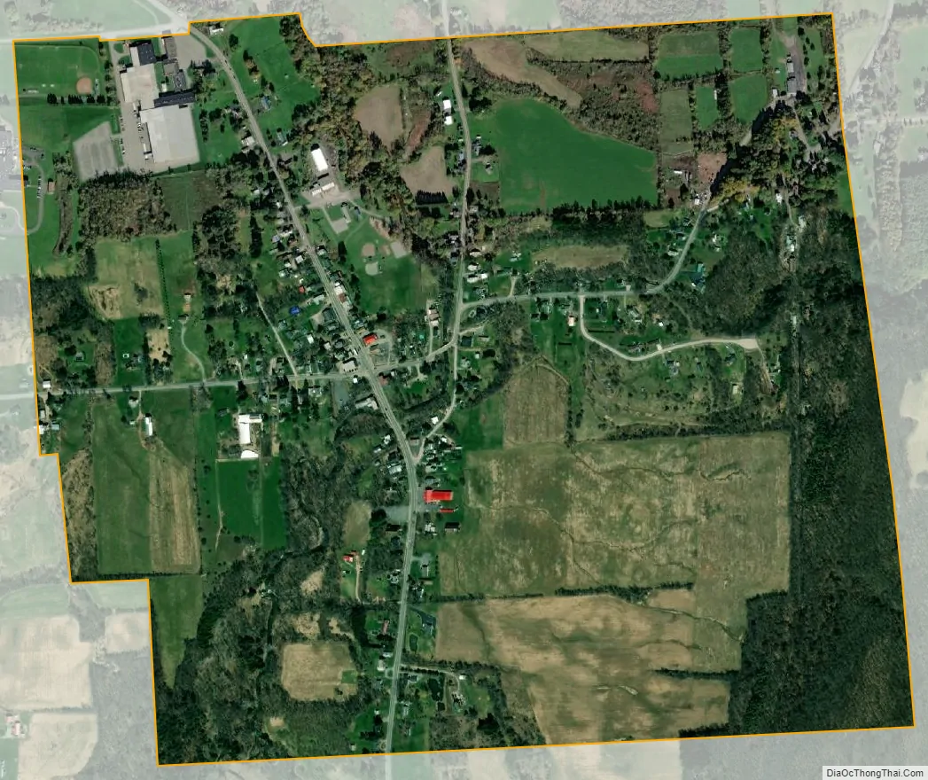
Munnsville city Satellite Map
Geography
Munnsville is located at 42°58′36″N 75°35′18″W / 42.97667°N 75.58833°W / 42.97667; -75.58833 (42.976597, -75.588236).
According to the United States Census Bureau, the village has a total area of 0.9 square miles (2.3 km), all land.
See also
Map of New York State and its subdivision:- Albany
- Allegany
- Bronx
- Broome
- Cattaraugus
- Cayuga
- Chautauqua
- Chemung
- Chenango
- Clinton
- Columbia
- Cortland
- Delaware
- Dutchess
- Erie
- Essex
- Franklin
- Fulton
- Genesee
- Greene
- Hamilton
- Herkimer
- Jefferson
- Kings
- Lake Ontario
- Lewis
- Livingston
- Madison
- Monroe
- Montgomery
- Nassau
- New York
- Niagara
- Oneida
- Onondaga
- Ontario
- Orange
- Orleans
- Oswego
- Otsego
- Putnam
- Queens
- Rensselaer
- Richmond
- Rockland
- Saint Lawrence
- Saratoga
- Schenectady
- Schoharie
- Schuyler
- Seneca
- Steuben
- Suffolk
- Sullivan
- Tioga
- Tompkins
- Ulster
- Warren
- Washington
- Wayne
- Westchester
- Wyoming
- Yates
- Alabama
- Alaska
- Arizona
- Arkansas
- California
- Colorado
- Connecticut
- Delaware
- District of Columbia
- Florida
- Georgia
- Hawaii
- Idaho
- Illinois
- Indiana
- Iowa
- Kansas
- Kentucky
- Louisiana
- Maine
- Maryland
- Massachusetts
- Michigan
- Minnesota
- Mississippi
- Missouri
- Montana
- Nebraska
- Nevada
- New Hampshire
- New Jersey
- New Mexico
- New York
- North Carolina
- North Dakota
- Ohio
- Oklahoma
- Oregon
- Pennsylvania
- Rhode Island
- South Carolina
- South Dakota
- Tennessee
- Texas
- Utah
- Vermont
- Virginia
- Washington
- West Virginia
- Wisconsin
- Wyoming