Muttontown is a village located within the Town of Oyster Bay in Nassau County, on Long Island, in New York, United States. The population was 3,497 at the 2010 census.
| Name: | Muttontown village |
|---|---|
| LSAD Code: | 47 |
| LSAD Description: | village (suffix) |
| State: | New York |
| County: | Nassau County |
| Incorporated: | 1931 |
| Elevation: | 285 ft (87 m) |
| Total Area: | 6.06 sq mi (15.69 km²) |
| Land Area: | 6.06 sq mi (15.69 km²) |
| Water Area: | 0.00 sq mi (0.00 km²) |
| Total Population: | 3,512 |
| Population Density: | 579.82/sq mi (223.87/km²) |
| Area code: | 516 |
| FIPS code: | 3649330 |
| GNISfeature ID: | 0958224 |
| Website: | www.villageofmuttontown.com |
Online Interactive Map
Click on ![]() to view map in "full screen" mode.
to view map in "full screen" mode.
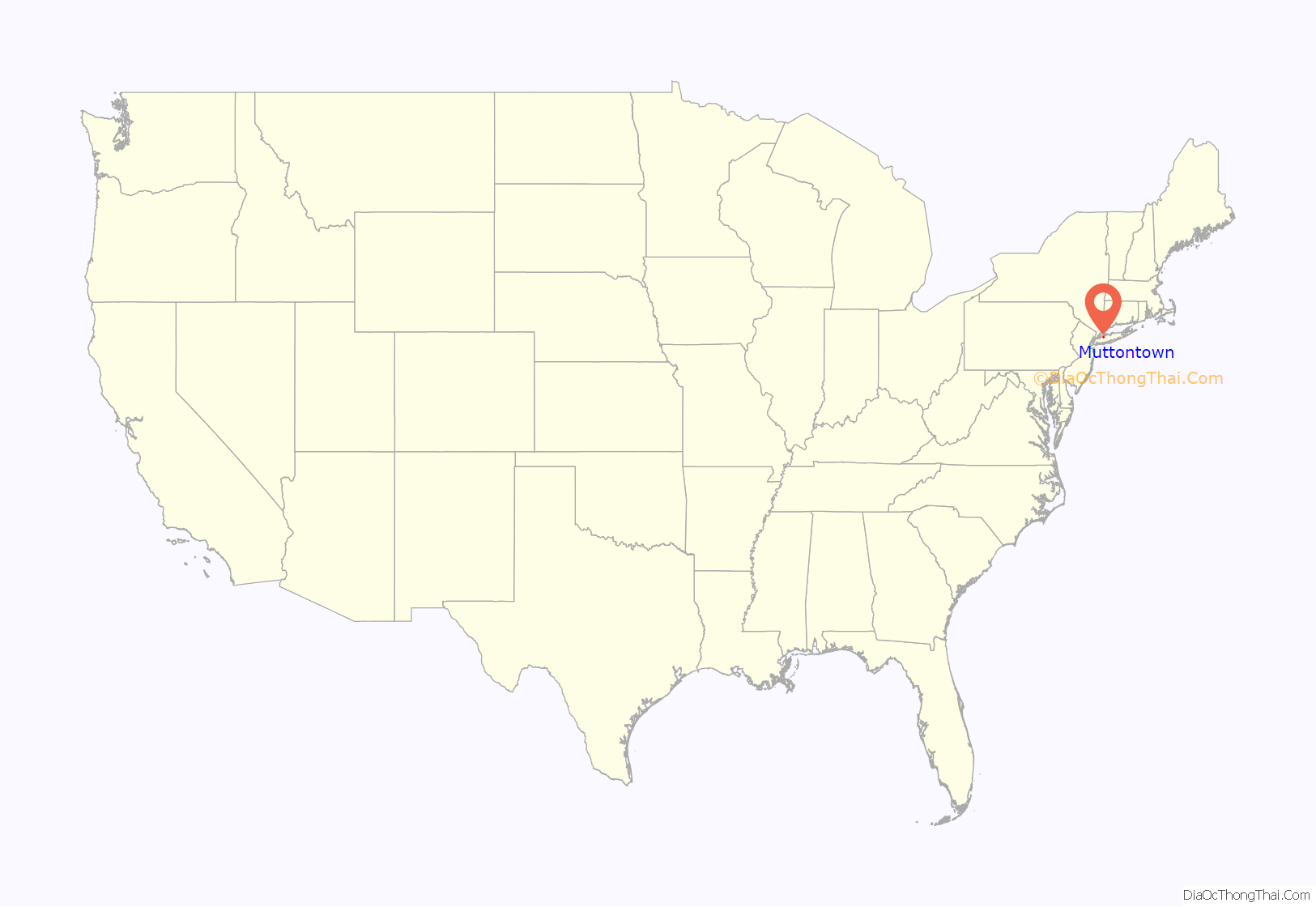
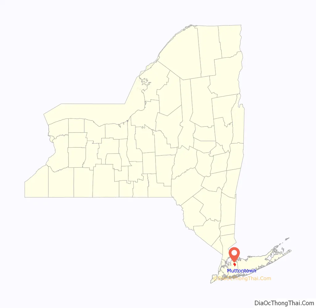
Muttontown location map. Where is Muttontown village?
History
During colonial times, the area was used to raise sheep for wool and meat. The village was incorporated in 1931. The name of the village stems from its former use as pasturage for sheep.
Zog of Albania bought the local Knollwood Estate in 1951, but sold it in 1955. The Benjamin Moore Estate was listed on the National Register of Historic Places in 1979.
Muttontown was ranked one of the wealthiest towns in America by BusinessWeek.
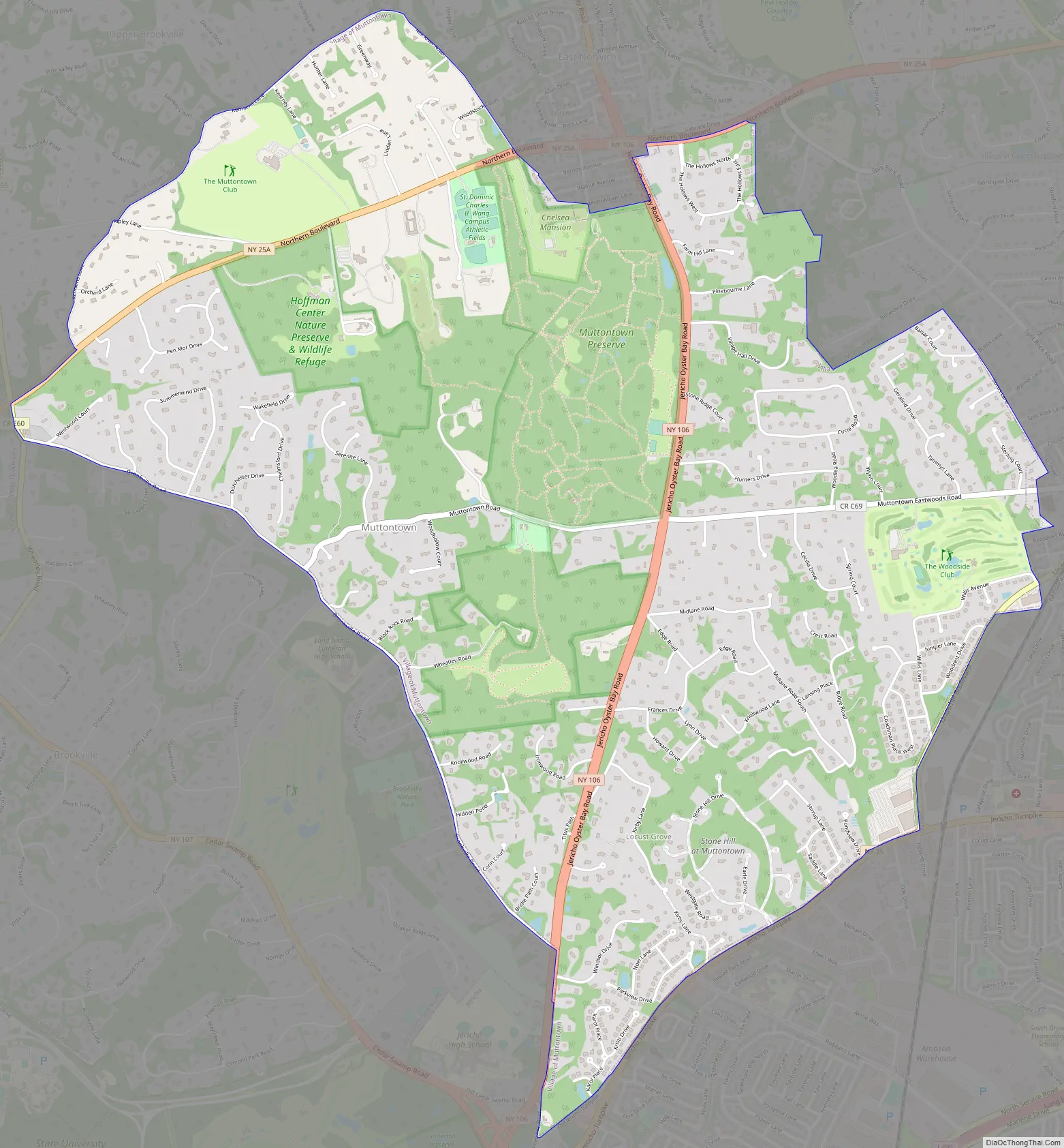
Muttontown Road Map
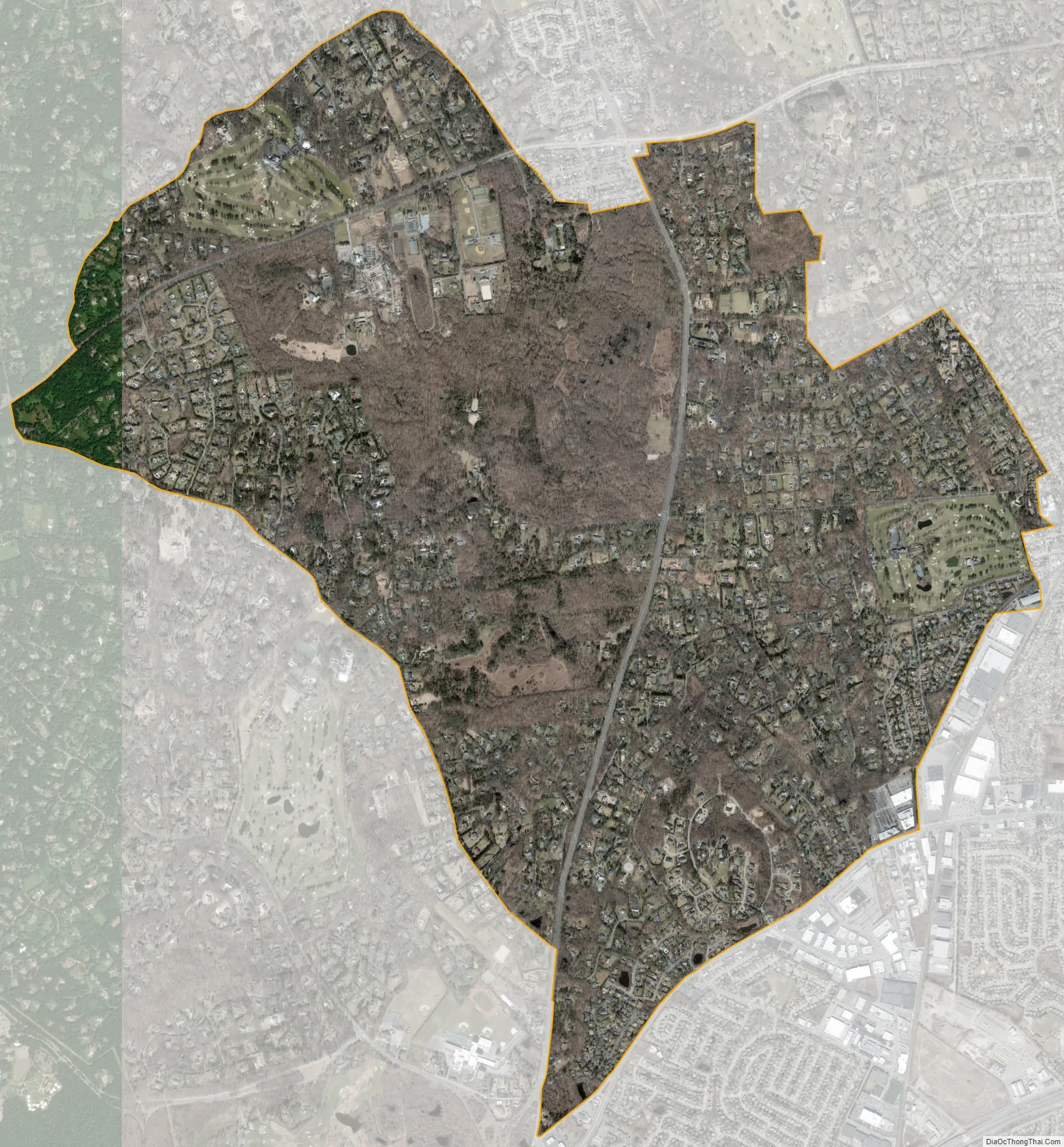
Muttontown city Satellite Map
Geography
According to the United States Census Bureau, the village has a total area of 6.1 square miles (16 km), all land.
The village lost some territory between the 2000 and 2010 censuses to Syosset.
See also
Map of New York State and its subdivision:- Albany
- Allegany
- Bronx
- Broome
- Cattaraugus
- Cayuga
- Chautauqua
- Chemung
- Chenango
- Clinton
- Columbia
- Cortland
- Delaware
- Dutchess
- Erie
- Essex
- Franklin
- Fulton
- Genesee
- Greene
- Hamilton
- Herkimer
- Jefferson
- Kings
- Lake Ontario
- Lewis
- Livingston
- Madison
- Monroe
- Montgomery
- Nassau
- New York
- Niagara
- Oneida
- Onondaga
- Ontario
- Orange
- Orleans
- Oswego
- Otsego
- Putnam
- Queens
- Rensselaer
- Richmond
- Rockland
- Saint Lawrence
- Saratoga
- Schenectady
- Schoharie
- Schuyler
- Seneca
- Steuben
- Suffolk
- Sullivan
- Tioga
- Tompkins
- Ulster
- Warren
- Washington
- Wayne
- Westchester
- Wyoming
- Yates
- Alabama
- Alaska
- Arizona
- Arkansas
- California
- Colorado
- Connecticut
- Delaware
- District of Columbia
- Florida
- Georgia
- Hawaii
- Idaho
- Illinois
- Indiana
- Iowa
- Kansas
- Kentucky
- Louisiana
- Maine
- Maryland
- Massachusetts
- Michigan
- Minnesota
- Mississippi
- Missouri
- Montana
- Nebraska
- Nevada
- New Hampshire
- New Jersey
- New Mexico
- New York
- North Carolina
- North Dakota
- Ohio
- Oklahoma
- Oregon
- Pennsylvania
- Rhode Island
- South Carolina
- South Dakota
- Tennessee
- Texas
- Utah
- Vermont
- Virginia
- Washington
- West Virginia
- Wisconsin
- Wyoming


