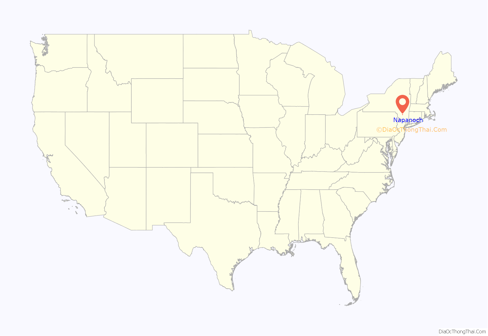
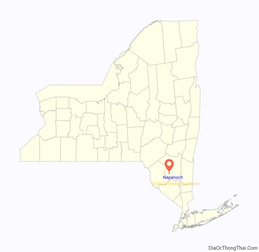
Napanoch is a hamlet in Ulster County, New York, United States. It is at the junction of routes 209 and 55. The population was 1,131 at the 2020 census. Napanoch is on the Shawangunk Ridge National Scenic Byway, and is part of the Hudson River Valley National Heritage Area.
| Name: | Napanoch CDP |
|---|---|
| LSAD Code: | 57 |
| LSAD Description: | CDP (suffix) |
| State: | New York |
| County: | Ulster County |
| Elevation: | 312 ft (95 m) |
| Total Area: | 1.46 sq mi (3.79 km²) |
| Land Area: | 1.44 sq mi (3.72 km²) |
| Water Area: | 0.03 sq mi (0.07 km²) |
| Total Population: | 1,131 |
| Population Density: | 787.60/sq mi (304.00/km²) |
| ZIP code: | 12458 |
| Area code: | 845 |
| FIPS code: | 3649418 |
| GNISfeature ID: | 0970395 |
Online Interactive Map
Click on ![]() to view map in "full screen" mode.
to view map in "full screen" mode.
Napanoch location map. Where is Napanoch CDP?
History
“Napanoch” is from the Munsee dialect of the northern Lenape, and is thought to mean land overflowed by water. It is from the original deed to that area. Old Route 209 and Main Street follow the Minisink Trail, the Lenape path between the Hudson and Delaware Rivers. Louis Bevier, the New Paltz patentee, bought the area for two of his sons, Jean Bevier and Abram Bevier in 1705 or 1706.
The Hoornbeek Store Complex and Ontario and Western Railroad Passenger Station are listed on the National Register of Historic Places. The imposing Eastern Correctional Facility was built by the state in 1900 as a reformatory. Since 1973 it has been a maximum security prison for men.
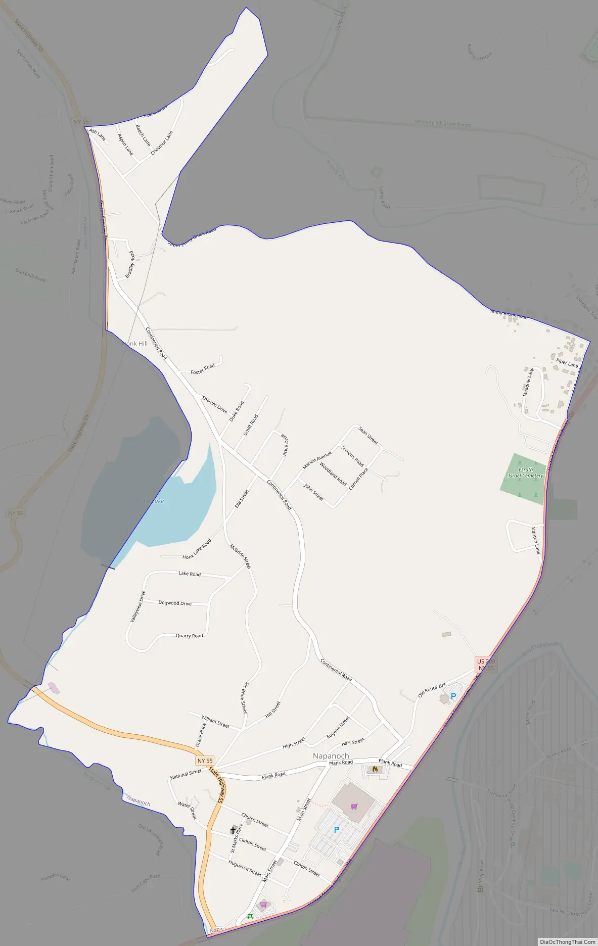
Napanoch Road Map
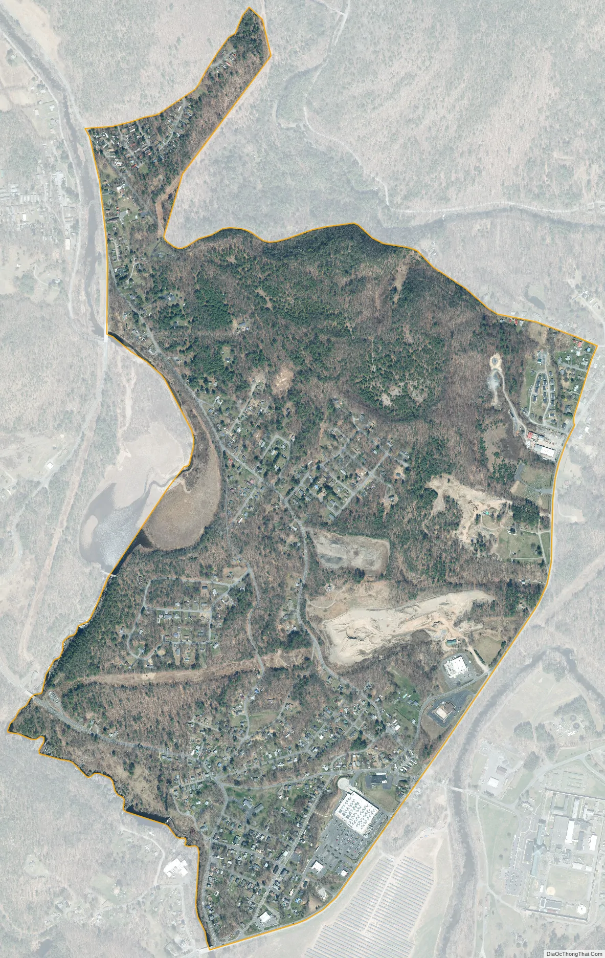
Napanoch city Satellite Map
Geography
Napanoch is in the Town of Wawarsing, in Ulster County (41.748231, -74.372710).
According to the United States Census Bureau, the census-designated place (“CDP”) has a total area of 1.2 square miles (3.1 km), of which 1.2 square miles (3.1 km) is land and 0.04 square miles (0.10 km) (2.46%) is water.
See also
Map of New York State and its subdivision:- Albany
- Allegany
- Bronx
- Broome
- Cattaraugus
- Cayuga
- Chautauqua
- Chemung
- Chenango
- Clinton
- Columbia
- Cortland
- Delaware
- Dutchess
- Erie
- Essex
- Franklin
- Fulton
- Genesee
- Greene
- Hamilton
- Herkimer
- Jefferson
- Kings
- Lake Ontario
- Lewis
- Livingston
- Madison
- Monroe
- Montgomery
- Nassau
- New York
- Niagara
- Oneida
- Onondaga
- Ontario
- Orange
- Orleans
- Oswego
- Otsego
- Putnam
- Queens
- Rensselaer
- Richmond
- Rockland
- Saint Lawrence
- Saratoga
- Schenectady
- Schoharie
- Schuyler
- Seneca
- Steuben
- Suffolk
- Sullivan
- Tioga
- Tompkins
- Ulster
- Warren
- Washington
- Wayne
- Westchester
- Wyoming
- Yates
- Alabama
- Alaska
- Arizona
- Arkansas
- California
- Colorado
- Connecticut
- Delaware
- District of Columbia
- Florida
- Georgia
- Hawaii
- Idaho
- Illinois
- Indiana
- Iowa
- Kansas
- Kentucky
- Louisiana
- Maine
- Maryland
- Massachusetts
- Michigan
- Minnesota
- Mississippi
- Missouri
- Montana
- Nebraska
- Nevada
- New Hampshire
- New Jersey
- New Mexico
- New York
- North Carolina
- North Dakota
- Ohio
- Oklahoma
- Oregon
- Pennsylvania
- Rhode Island
- South Carolina
- South Dakota
- Tennessee
- Texas
- Utah
- Vermont
- Virginia
- Washington
- West Virginia
- Wisconsin
- Wyoming


