Napeague (/ˈnæpiːɡ/, NAP-eeg) is a census-designated place (CDP) that roughly corresponds to the hamlet with the same name in the Town of East Hampton in Suffolk County, New York, United States. The CDP population was 200 at the 2010 census.
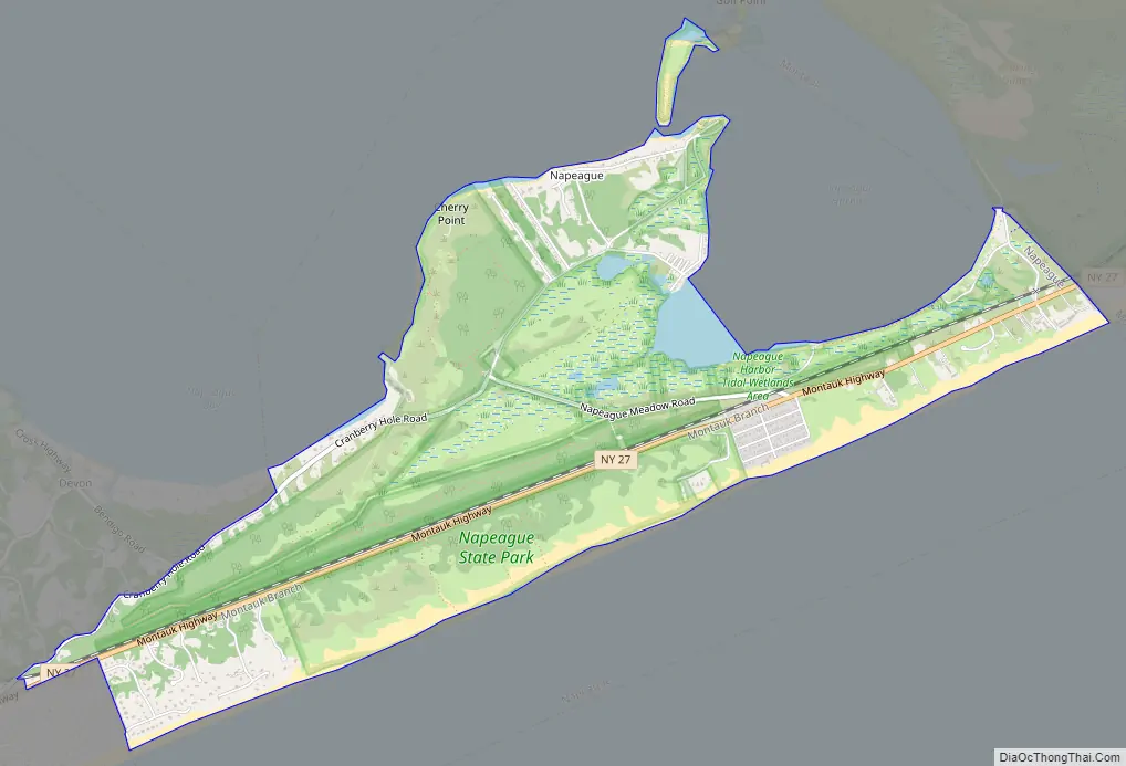
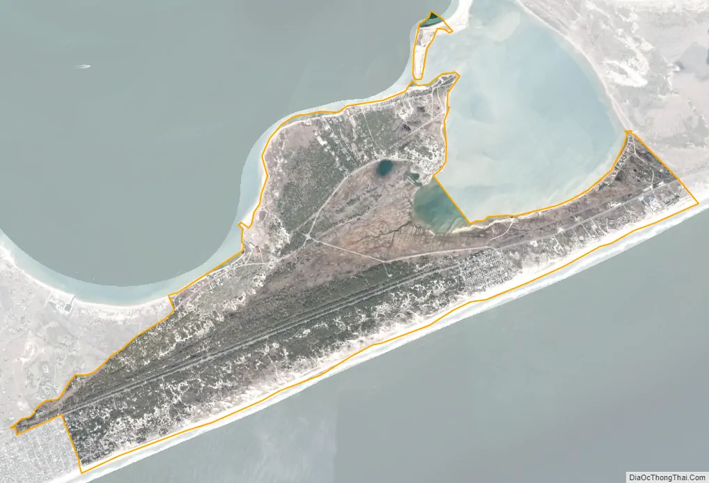
Napeague is located on a very narrow, low-lying strip between the Atlantic Ocean to the south and Gardiners Bay to the north that was flooded in the Great Hurricane of 1938. It lies between Napeague State Park on the west and Hither Hills State Park on the east.
Napeague derives its name from the Montaukett name for “land overflowed by the sea”.
| Name: | Napeague CDP |
|---|---|
| LSAD Code: | 57 |
| LSAD Description: | CDP (suffix) |
| State: | New York |
| County: | Suffolk County |
| Elevation: | 7 ft (2 m) |
| Total Area: | 8.54 sq mi (22.13 km²) |
| Land Area: | 3.68 sq mi (9.53 km²) |
| Water Area: | 4.87 sq mi (12.60 km²) |
| Total Population: | 368 |
| Population Density: | 100.00/sq mi (38.61/km²) |
| FIPS code: | 3649424 |
| GNISfeature ID: | 0958252 |
Online Interactive Map
Click on ![]() to view map in "full screen" mode.
to view map in "full screen" mode.
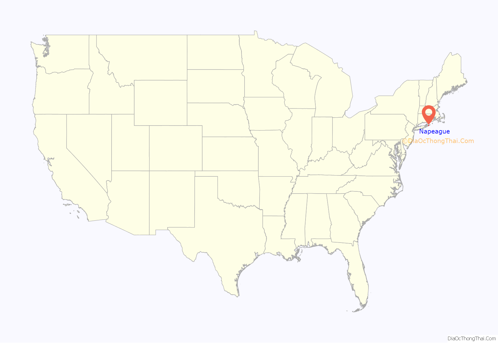
Napeague location map. Where is Napeague CDP?
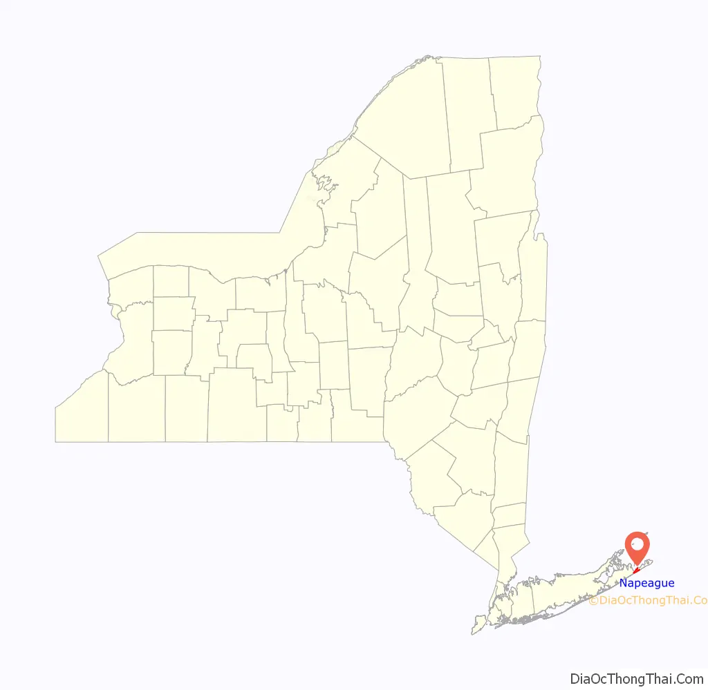
Napeague Road Map
Napeague city Satellite Map
Geography
According to the United States Census Bureau, the CDP has a total area of 3.7 square miles (9.7 km), of which 3.7 square miles (9.5 km) is land and 0.08 square miles (0.2 km), or 2.12%, is water.
At the end of the last ice age, Napeague was submerged under the sea. (At that time, Montauk was an island.) In the intervening several thousand years, ocean currents, or littoral drift, filled in this space with sand, giving rise to Napeague.
The main settlement in Napeague is the small community of Lazy Point, also known as “Promised Land”. It acquired this nickname, according to local lore, because of the menhaden plant located there in years gone by, which “stunk to high heaven”.
See also
Map of New York State and its subdivision:- Albany
- Allegany
- Bronx
- Broome
- Cattaraugus
- Cayuga
- Chautauqua
- Chemung
- Chenango
- Clinton
- Columbia
- Cortland
- Delaware
- Dutchess
- Erie
- Essex
- Franklin
- Fulton
- Genesee
- Greene
- Hamilton
- Herkimer
- Jefferson
- Kings
- Lake Ontario
- Lewis
- Livingston
- Madison
- Monroe
- Montgomery
- Nassau
- New York
- Niagara
- Oneida
- Onondaga
- Ontario
- Orange
- Orleans
- Oswego
- Otsego
- Putnam
- Queens
- Rensselaer
- Richmond
- Rockland
- Saint Lawrence
- Saratoga
- Schenectady
- Schoharie
- Schuyler
- Seneca
- Steuben
- Suffolk
- Sullivan
- Tioga
- Tompkins
- Ulster
- Warren
- Washington
- Wayne
- Westchester
- Wyoming
- Yates
- Alabama
- Alaska
- Arizona
- Arkansas
- California
- Colorado
- Connecticut
- Delaware
- District of Columbia
- Florida
- Georgia
- Hawaii
- Idaho
- Illinois
- Indiana
- Iowa
- Kansas
- Kentucky
- Louisiana
- Maine
- Maryland
- Massachusetts
- Michigan
- Minnesota
- Mississippi
- Missouri
- Montana
- Nebraska
- Nevada
- New Hampshire
- New Jersey
- New Mexico
- New York
- North Carolina
- North Dakota
- Ohio
- Oklahoma
- Oregon
- Pennsylvania
- Rhode Island
- South Carolina
- South Dakota
- Tennessee
- Texas
- Utah
- Vermont
- Virginia
- Washington
- West Virginia
- Wisconsin
- Wyoming


