Naples is a village in Ontario County, New York, United States. The population was 1,041 at the 2010 census. It is a part of the Town of Naples, known as an important grape-growing region.
| Name: | Naples village |
|---|---|
| LSAD Code: | 47 |
| LSAD Description: | village (suffix) |
| State: | New York |
| County: | Ontario County |
| Elevation: | 804 ft (245 m) |
| Total Area: | 0.97 sq mi (2.50 km²) |
| Land Area: | 0.97 sq mi (2.50 km²) |
| Water Area: | 0.00 sq mi (0.00 km²) |
| Total Population: | 931 |
| Population Density: | 963.77/sq mi (371.99/km²) |
| ZIP code: | 14512 |
| Area code: | 585 |
| FIPS code: | 3649429 |
| GNISfeature ID: | 0958258 |
Online Interactive Map
Click on ![]() to view map in "full screen" mode.
to view map in "full screen" mode.
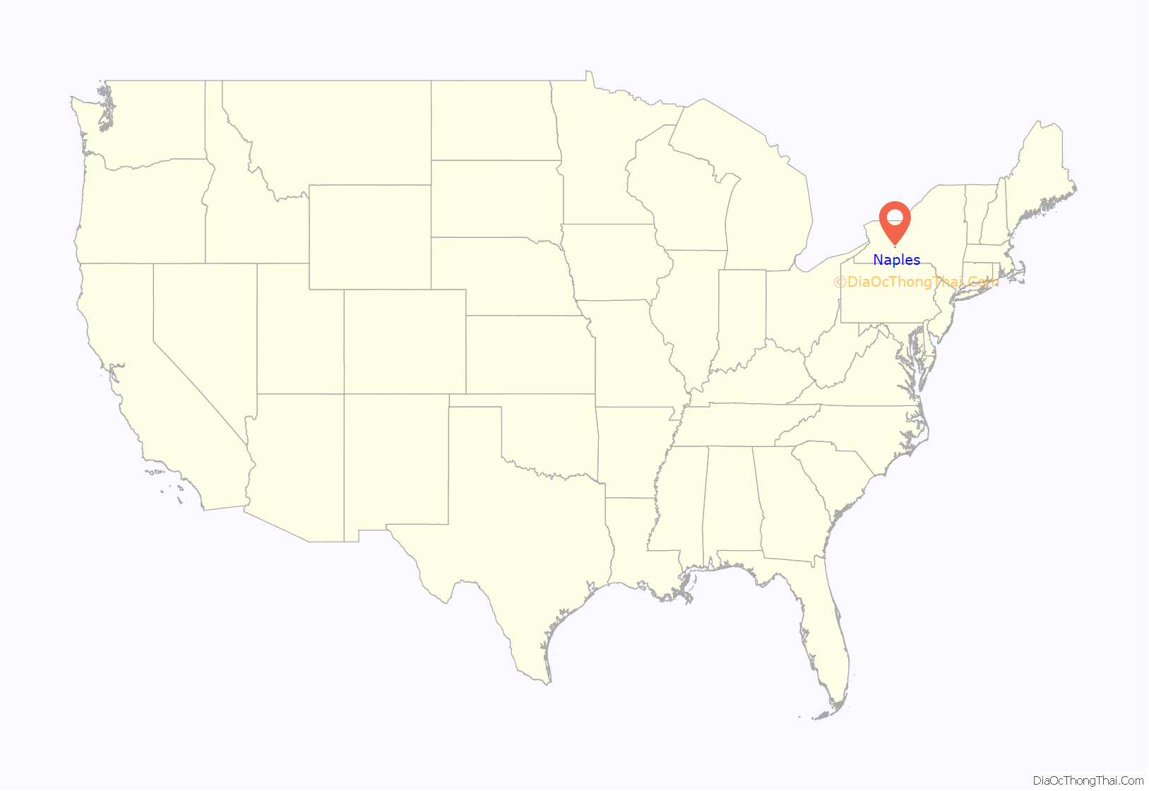
Naples location map. Where is Naples village?
History
The village, one of the first places populated by pioneers, was first settled around 1790. The village was incorporated in 1894. The Village of Naples has had votes in 1994, 2001 and June 2005 respectively in reference to dissolving the village into the Town of Naples, with all three results going against the proposal. The Naples Branch of the Lehigh Valley Railroad terminated in the village.
The Ephraim Cleveland House, Naples Memorial Town Hall and Morgan Hook and Ladder Company are listed on the National Register of Historic Places.
Naples Road Map
Naples city Satellite Map
Geography
Naples is located at 42°36′57″N 77°24′9″W / 42.61583°N 77.40250°W / 42.61583; -77.40250 (42.616047, -77.402601).
According to the United States Census Bureau, the village has a total area of 1.0 square mile (2.5 km), all land, though nearby other important water sources, being southwest of Canandaigua Lake, one of the Finger Lakes, and nearby the Naples Creek towards the lake and Grimes Glen.
New York State Route 21, New York State Route 53, and New York State Route 245 converge on the village, along with County Roads 33 and 36.
See also
Map of New York State and its subdivision:- Albany
- Allegany
- Bronx
- Broome
- Cattaraugus
- Cayuga
- Chautauqua
- Chemung
- Chenango
- Clinton
- Columbia
- Cortland
- Delaware
- Dutchess
- Erie
- Essex
- Franklin
- Fulton
- Genesee
- Greene
- Hamilton
- Herkimer
- Jefferson
- Kings
- Lake Ontario
- Lewis
- Livingston
- Madison
- Monroe
- Montgomery
- Nassau
- New York
- Niagara
- Oneida
- Onondaga
- Ontario
- Orange
- Orleans
- Oswego
- Otsego
- Putnam
- Queens
- Rensselaer
- Richmond
- Rockland
- Saint Lawrence
- Saratoga
- Schenectady
- Schoharie
- Schuyler
- Seneca
- Steuben
- Suffolk
- Sullivan
- Tioga
- Tompkins
- Ulster
- Warren
- Washington
- Wayne
- Westchester
- Wyoming
- Yates
- Alabama
- Alaska
- Arizona
- Arkansas
- California
- Colorado
- Connecticut
- Delaware
- District of Columbia
- Florida
- Georgia
- Hawaii
- Idaho
- Illinois
- Indiana
- Iowa
- Kansas
- Kentucky
- Louisiana
- Maine
- Maryland
- Massachusetts
- Michigan
- Minnesota
- Mississippi
- Missouri
- Montana
- Nebraska
- Nevada
- New Hampshire
- New Jersey
- New Mexico
- New York
- North Carolina
- North Dakota
- Ohio
- Oklahoma
- Oregon
- Pennsylvania
- Rhode Island
- South Carolina
- South Dakota
- Tennessee
- Texas
- Utah
- Vermont
- Virginia
- Washington
- West Virginia
- Wisconsin
- Wyoming
