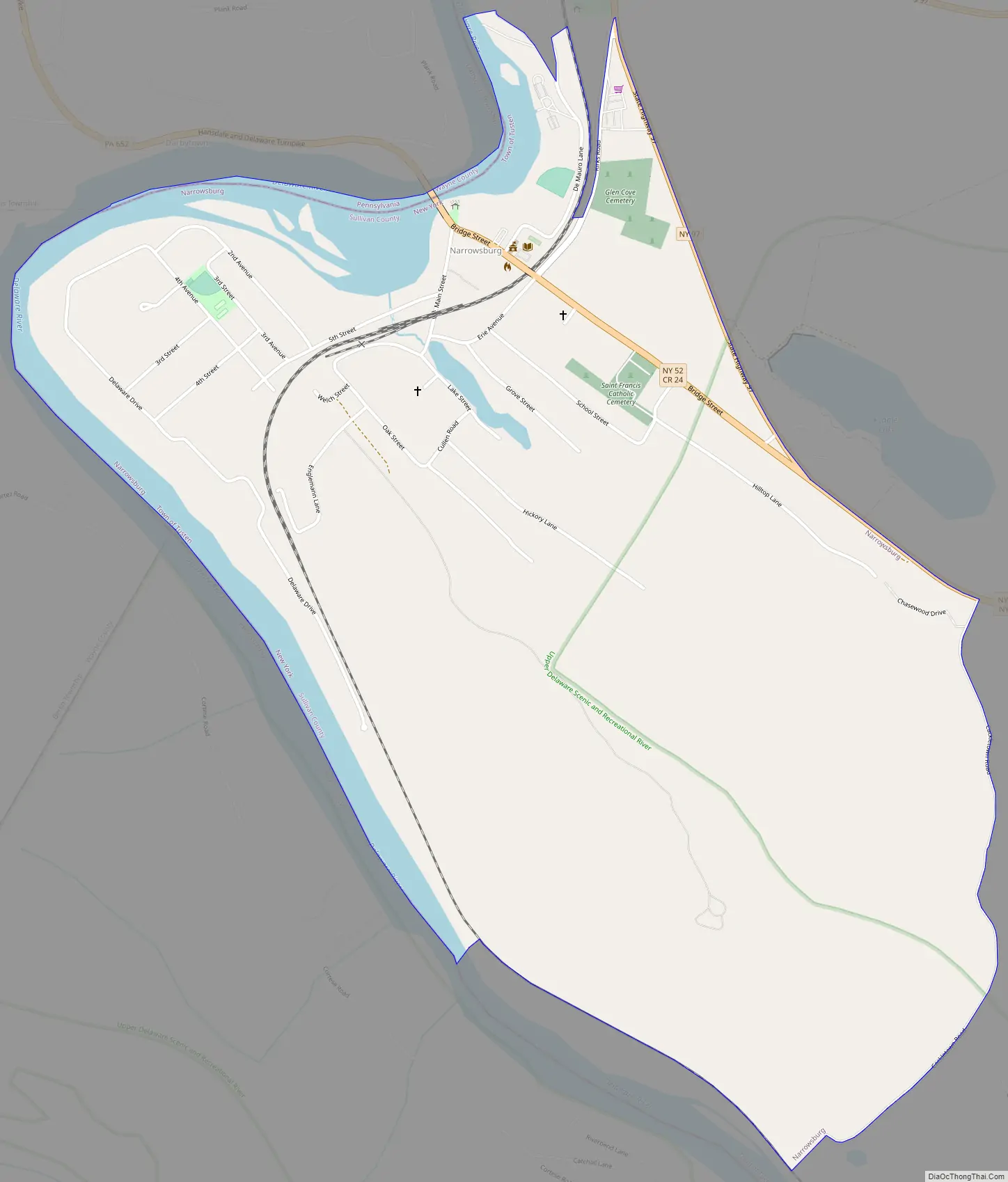
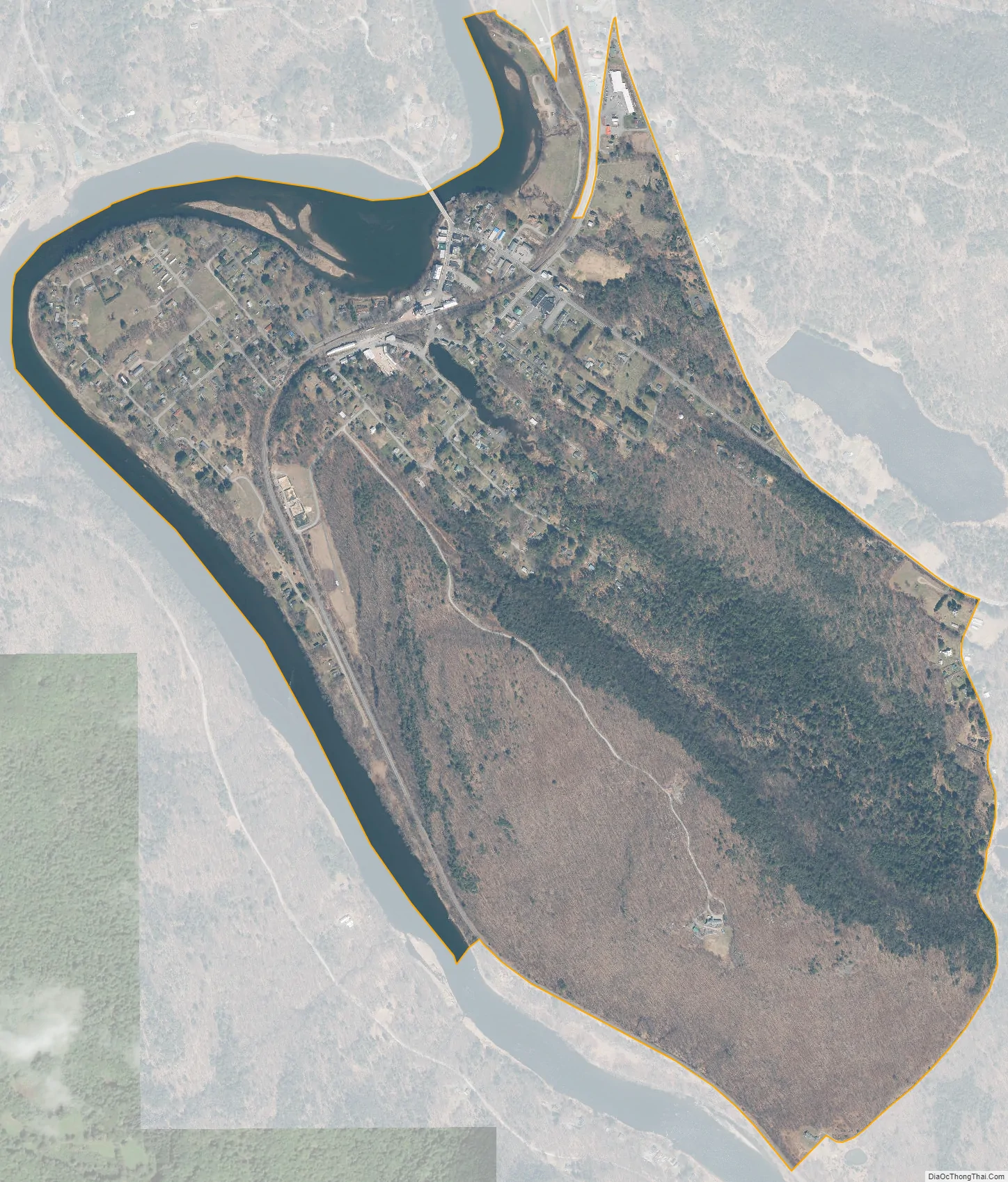
Narrowsburg is a hamlet (and a census-designated place) in Sullivan County, New York, United States. The population was 379 at the 2020 census. Narrowsburg is in the western part of the Town of Tusten at the junction of Routes 52 and 97.
| Name: | Narrowsburg CDP |
|---|---|
| LSAD Code: | 57 |
| LSAD Description: | CDP (suffix) |
| State: | New York |
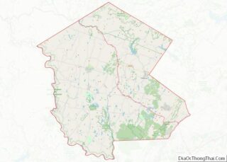
| County: | Sullivan County |
| Elevation: | 663 ft (202 m) |
| Total Area: | 1.96 sq mi (5.07 km²) |
| Land Area: | 1.81 sq mi (4.68 km²) |
| Water Area: | 0.15 sq mi (0.39 km²) |
| Total Population: | 379 |
| Population Density: | 209.51/sq mi (80.90/km²) |
| ZIP code: | 12764 |
| Area code: | 845 |
| FIPS code: | 3649473 |
| GNISfeature ID: | 0958272 |
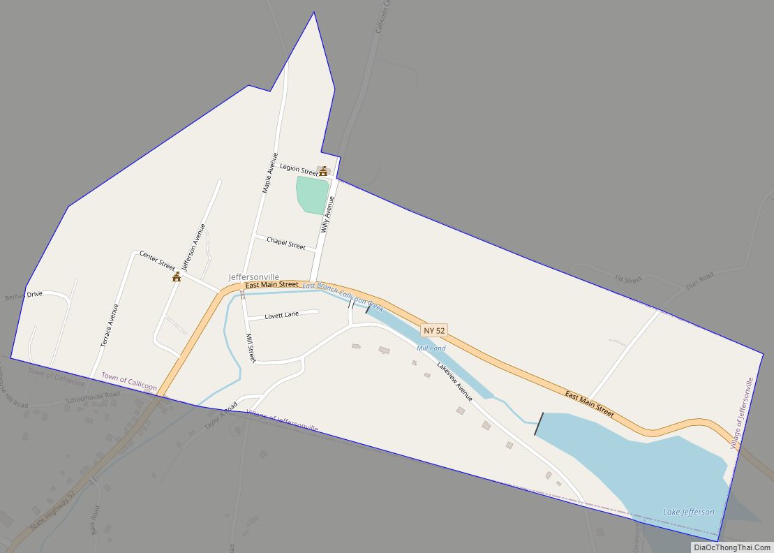
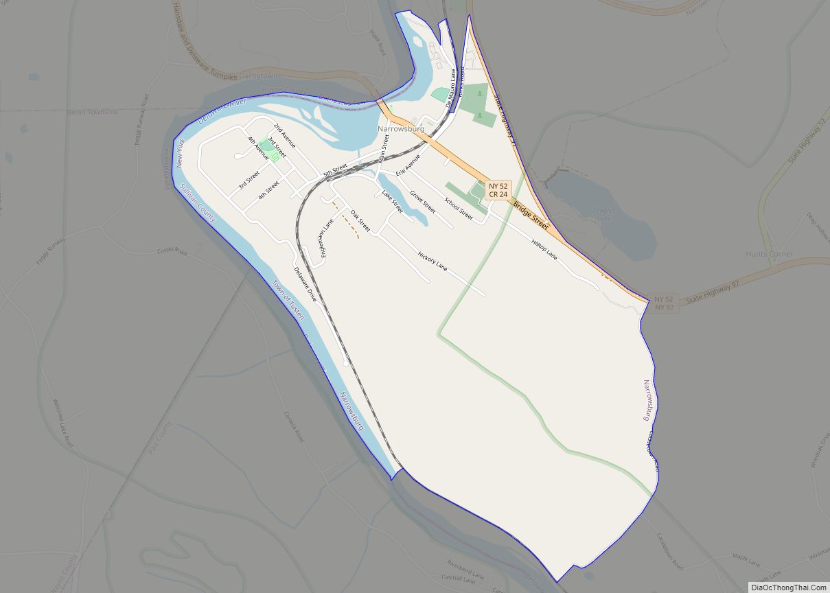
Online Interactive Map
Click on ![]() to view map in "full screen" mode.
to view map in "full screen" mode.
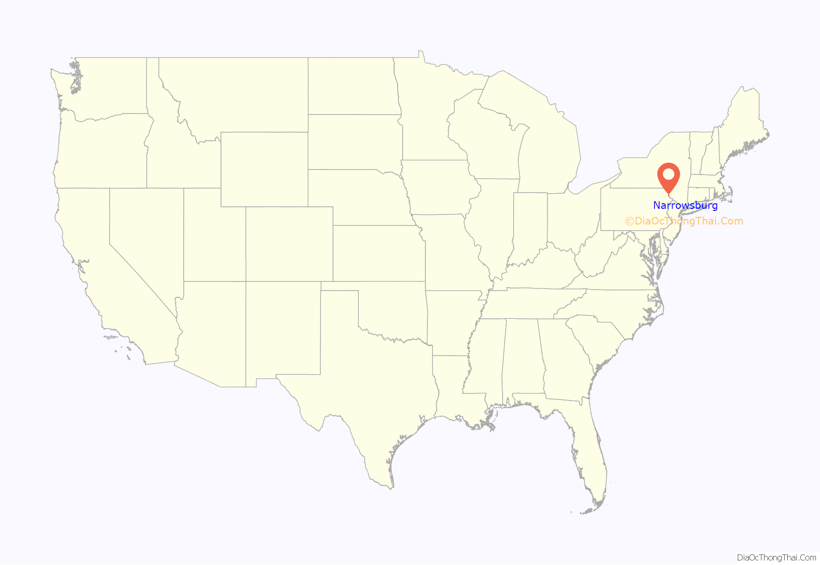
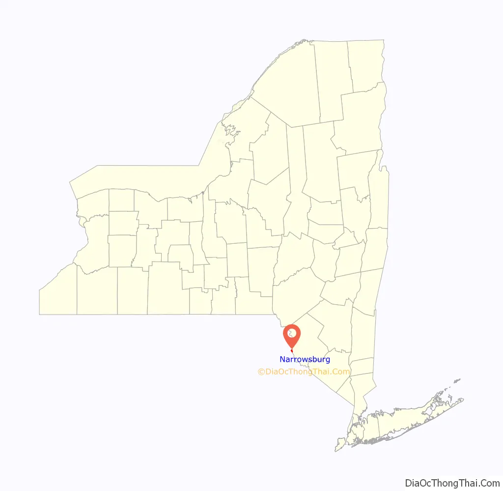
Narrowsburg location map. Where is Narrowsburg CDP?
History
The community was first called “Homans Eddy” after Benjamin Homan, the first settler in the town.
The Arlington Hotel, Kirk House, and Narrowsburg Methodist Church are listed on the National Register of Historic Places.
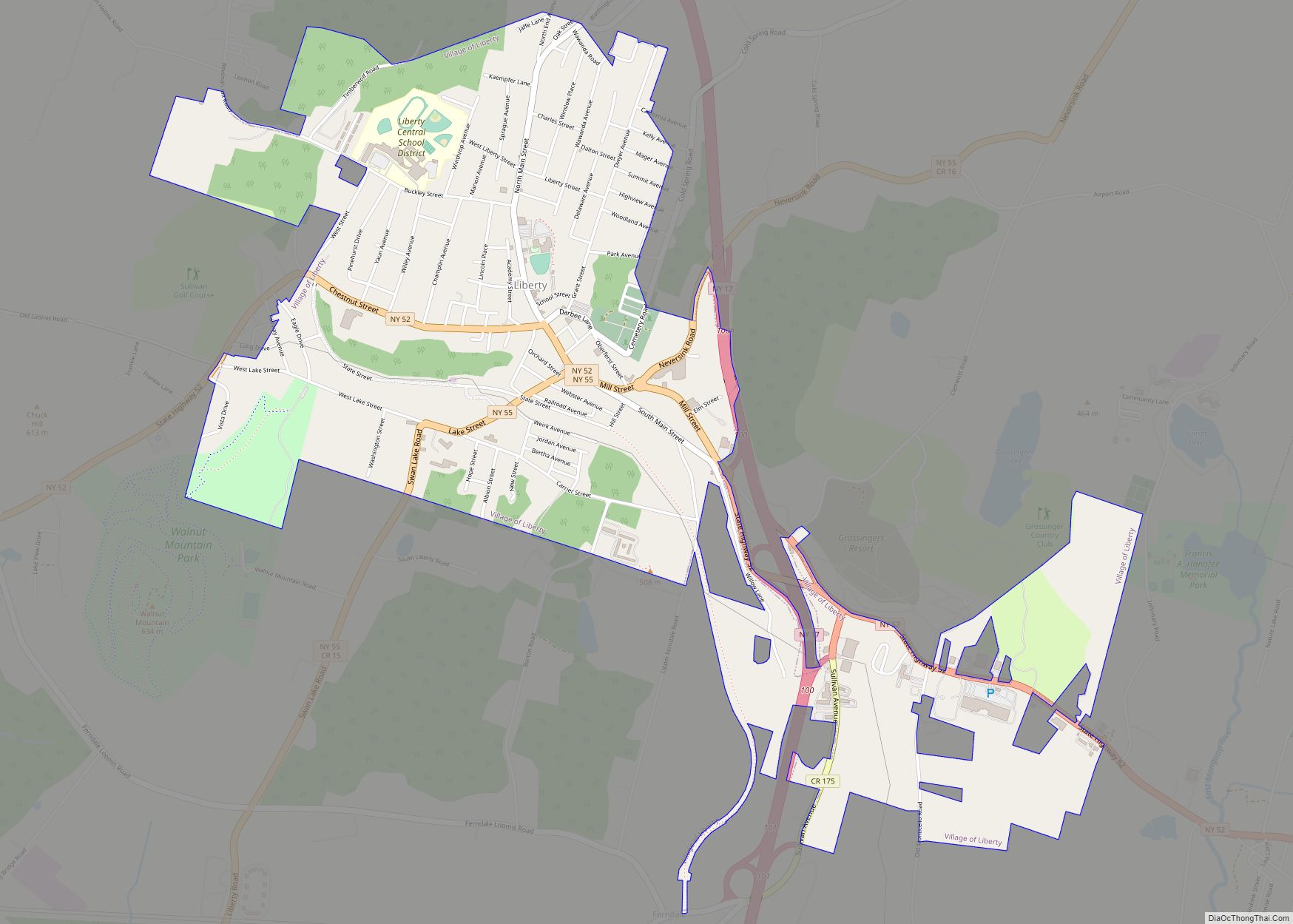
Narrowsburg Road Map
Narrowsburg city Satellite Map
Geography
Narrowsburg is located at 41°36′25″N 75°3′44″W / 41.60694°N 75.06222°W / 41.60694; -75.06222 (41.606881, -75.062255).
According to the United States Census Bureau, the CDP has a total area of 1.5 square miles (3.9 km), of which 1.4 square miles (3.6 km) is land and 0.1 square miles (0.26 km) (8.61%) is water.
The community is situated on the eastern shore of the Delaware River, adjacent to the border of Pennsylvania. It is between the Catskill Mountains and the Pocono Mountains.
See also
Map of New York State and its subdivision:- Albany
- Allegany
- Bronx
- Broome
- Cattaraugus
- Cayuga
- Chautauqua
- Chemung
- Chenango
- Clinton
- Columbia
- Cortland
- Delaware
- Dutchess
- Erie
- Essex
- Franklin
- Fulton
- Genesee
- Greene
- Hamilton
- Herkimer
- Jefferson
- Kings
- Lake Ontario
- Lewis
- Livingston
- Madison
- Monroe
- Montgomery
- Nassau
- New York
- Niagara
- Oneida
- Onondaga
- Ontario
- Orange
- Orleans
- Oswego
- Otsego
- Putnam
- Queens
- Rensselaer
- Richmond
- Rockland
- Saint Lawrence
- Saratoga
- Schenectady
- Schoharie
- Schuyler
- Seneca
- Steuben
- Suffolk
- Sullivan
- Tioga
- Tompkins
- Ulster
- Warren
- Washington
- Wayne
- Westchester
- Wyoming
- Yates
- Alabama
- Alaska
- Arizona
- Arkansas
- California
- Colorado
- Connecticut
- Delaware
- District of Columbia
- Florida
- Georgia
- Hawaii
- Idaho
- Illinois
- Indiana
- Iowa
- Kansas
- Kentucky
- Louisiana
- Maine
- Maryland
- Massachusetts
- Michigan
- Minnesota
- Mississippi
- Missouri
- Montana
- Nebraska
- Nevada
- New Hampshire
- New Jersey
- New Mexico
- New York
- North Carolina
- North Dakota
- Ohio
- Oklahoma
- Oregon
- Pennsylvania
- Rhode Island
- South Carolina
- South Dakota
- Tennessee
- Texas
- Utah
- Vermont
- Virginia
- Washington
- West Virginia
- Wisconsin
- Wyoming