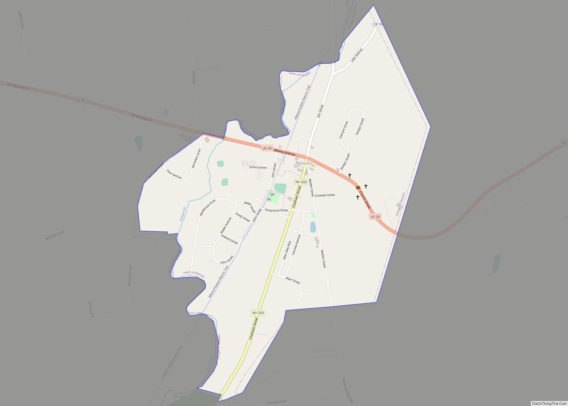
Nassau is a village located in the Town of Nassau in Rensselaer County, New York, United States. The population was 1,133 at the 2010 census.
The Village of Nassau is in the southern part of the county in the Town of Nassau, with a small western portion in the Town of Schodack. Nassau is bordered on the west by the Valatie Kill and Schodack township and is 15 miles east of Albany, New York state’s capital city.
| Name: | Nassau village |
|---|---|
| LSAD Code: | 47 |
| LSAD Description: | village (suffix) |
| State: | New York |
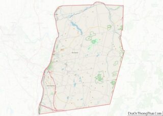
| County: | Rensselaer County |
| Elevation: | 404 ft (123 m) |
| Total Area: | 0.70 sq mi (1.81 km²) |
| Land Area: | 0.70 sq mi (1.81 km²) |
| Water Area: | 0.00 sq mi (0.00 km²) |
| Total Population: | 1,103 |
| Population Density: | 1,577.97/sq mi (609.48/km²) |
| ZIP code: | 12123 |
| Area code: | 518 |
| FIPS code: | 3649506 |
| GNISfeature ID: | 0958278 |
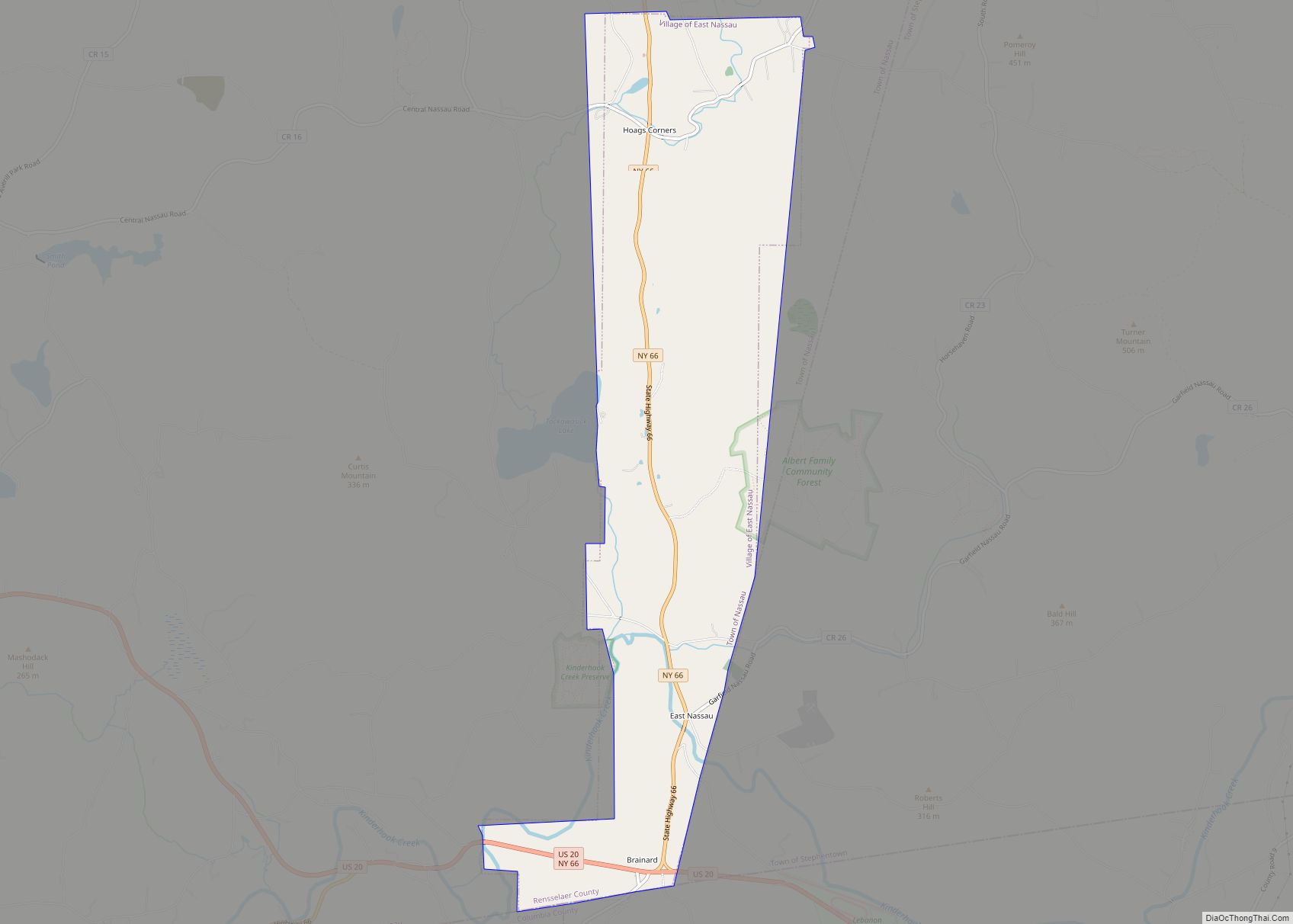
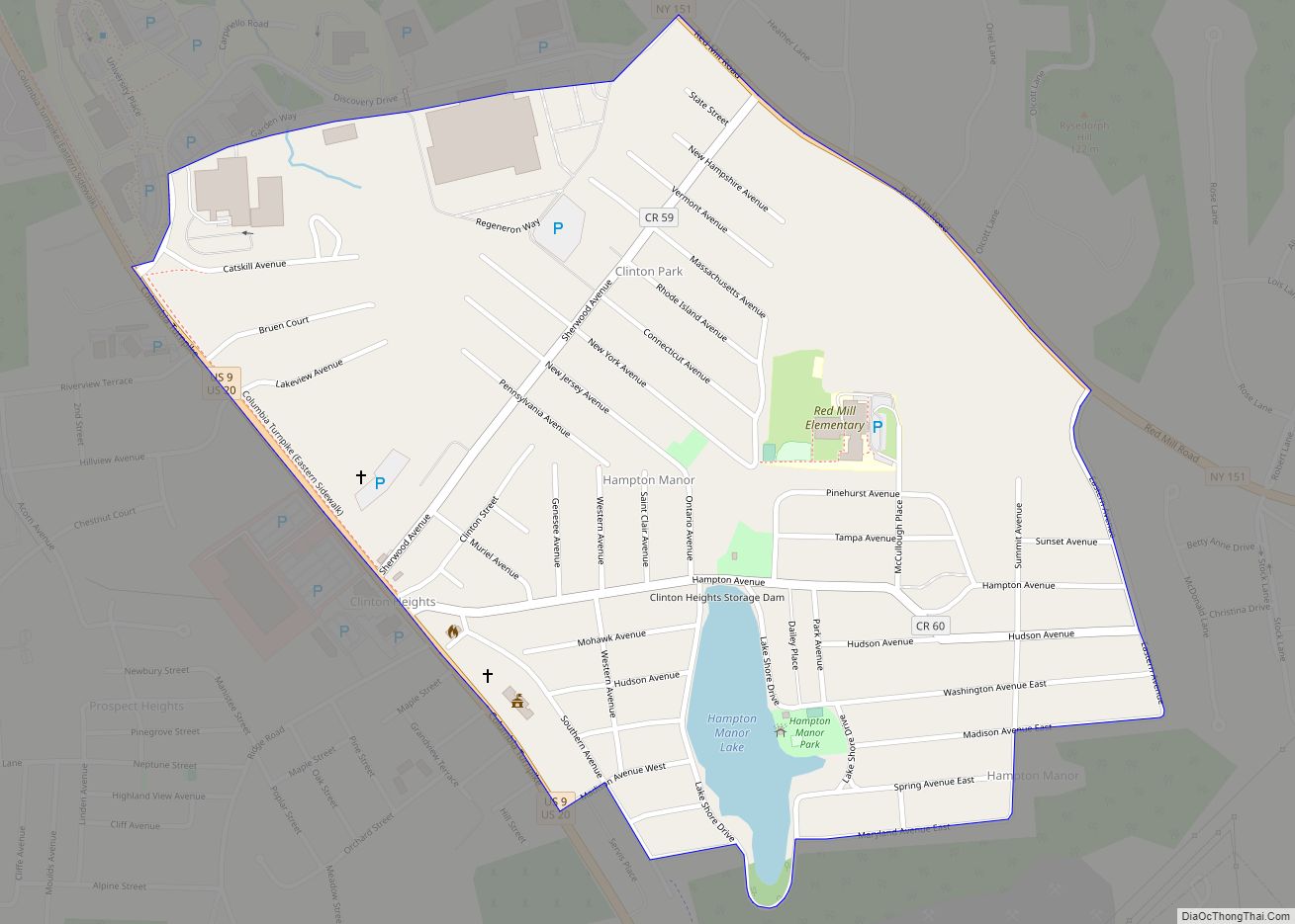
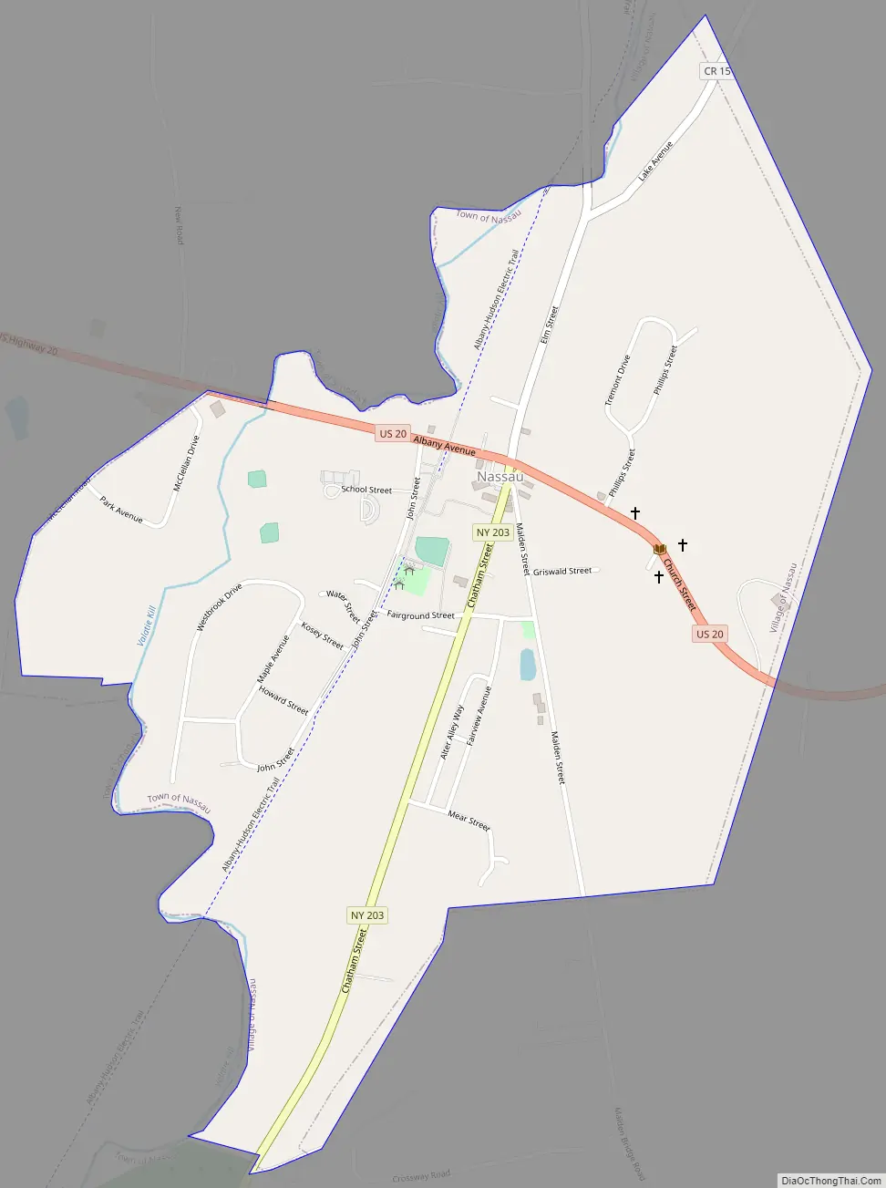
Online Interactive Map
Click on ![]() to view map in "full screen" mode.
to view map in "full screen" mode.
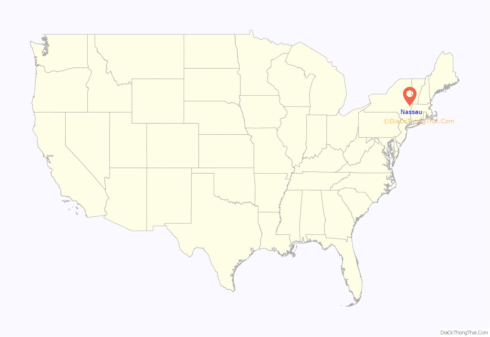
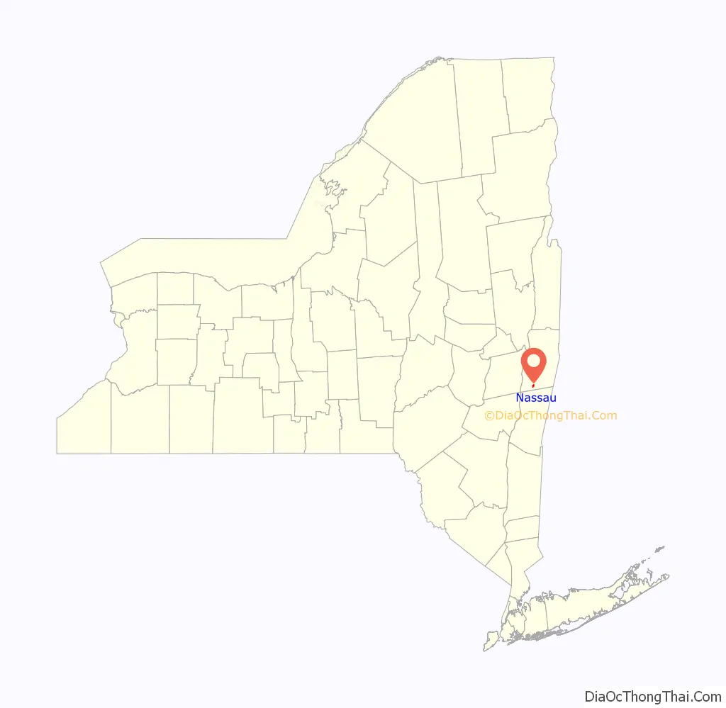
Nassau location map. Where is Nassau village?
History
The village is near the site of the first settlement of the town, which took place circa 1760. The community was first known as “Union Village.” The village was originally incorporated in the 19th Century as “Schermerhorn’s Village,” receiving charters in 1819 and 1866, but abandoned that village status until it more recently gained incorporation as Nassau Village.
The Albany Avenue Historic District, Chatham Street Row, and Church Street Historic District are listed on the National Register of Historic Places.
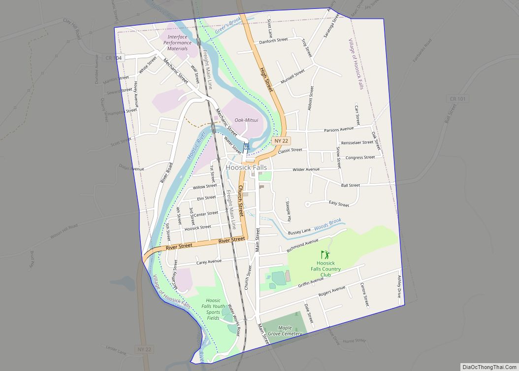
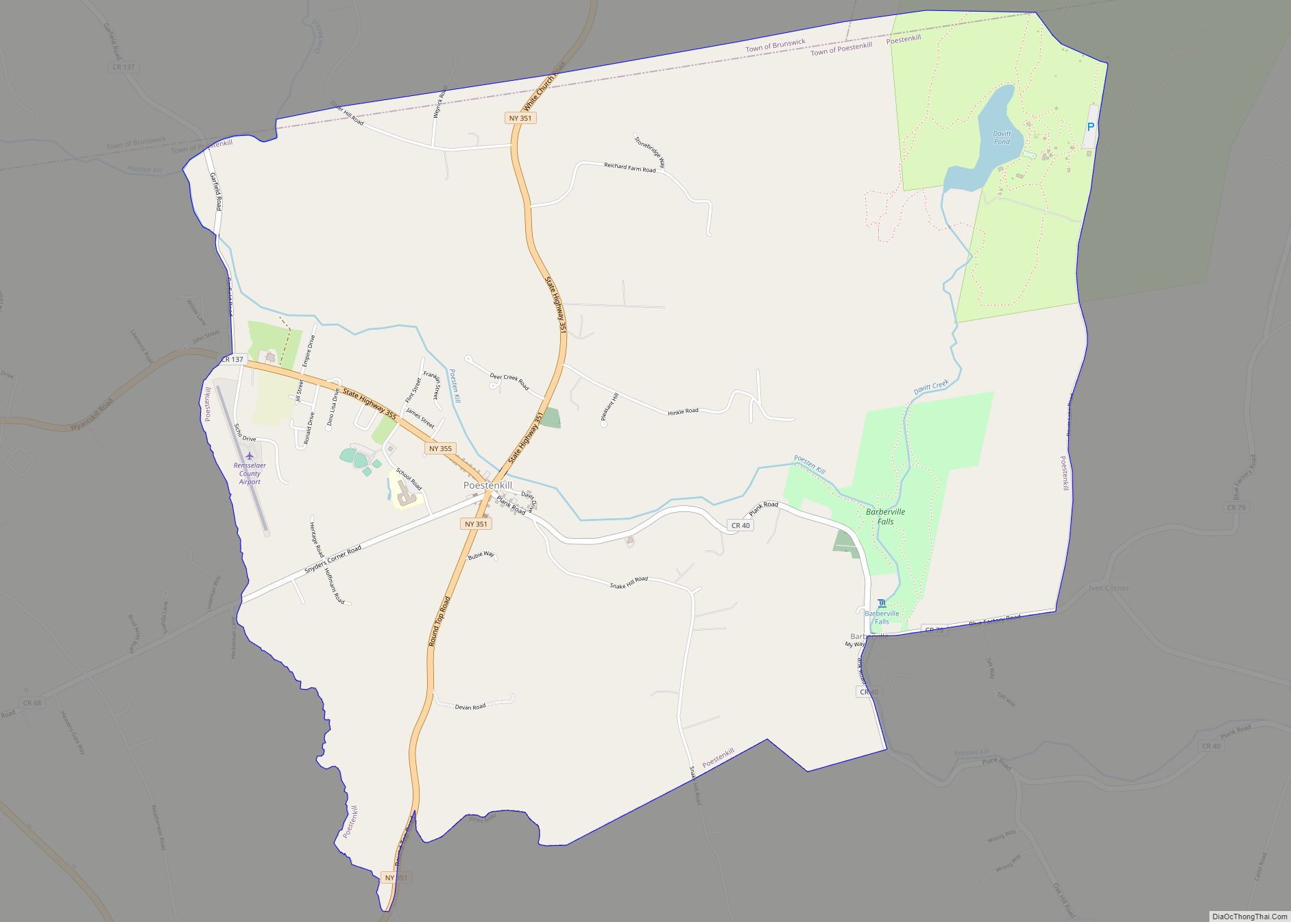
Nassau Road Map
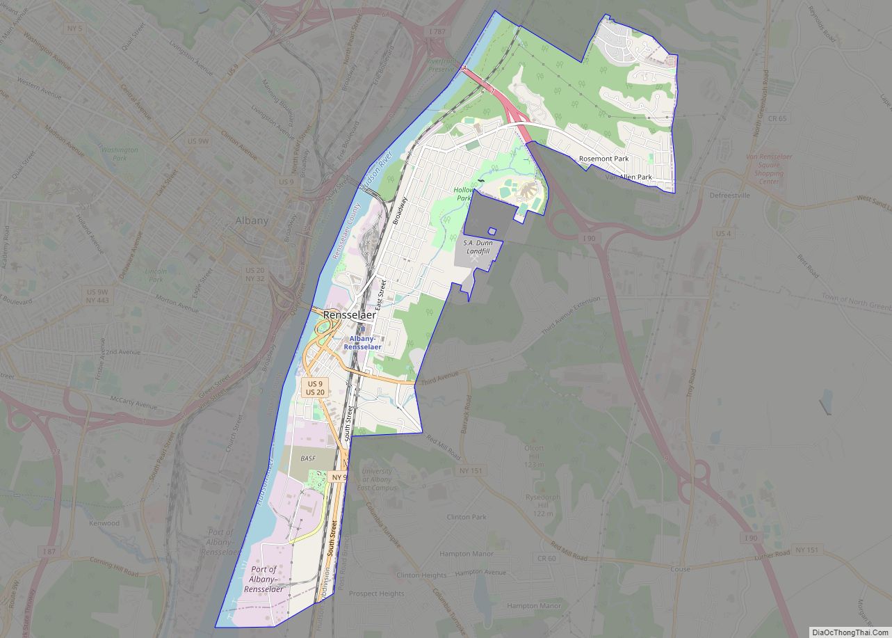
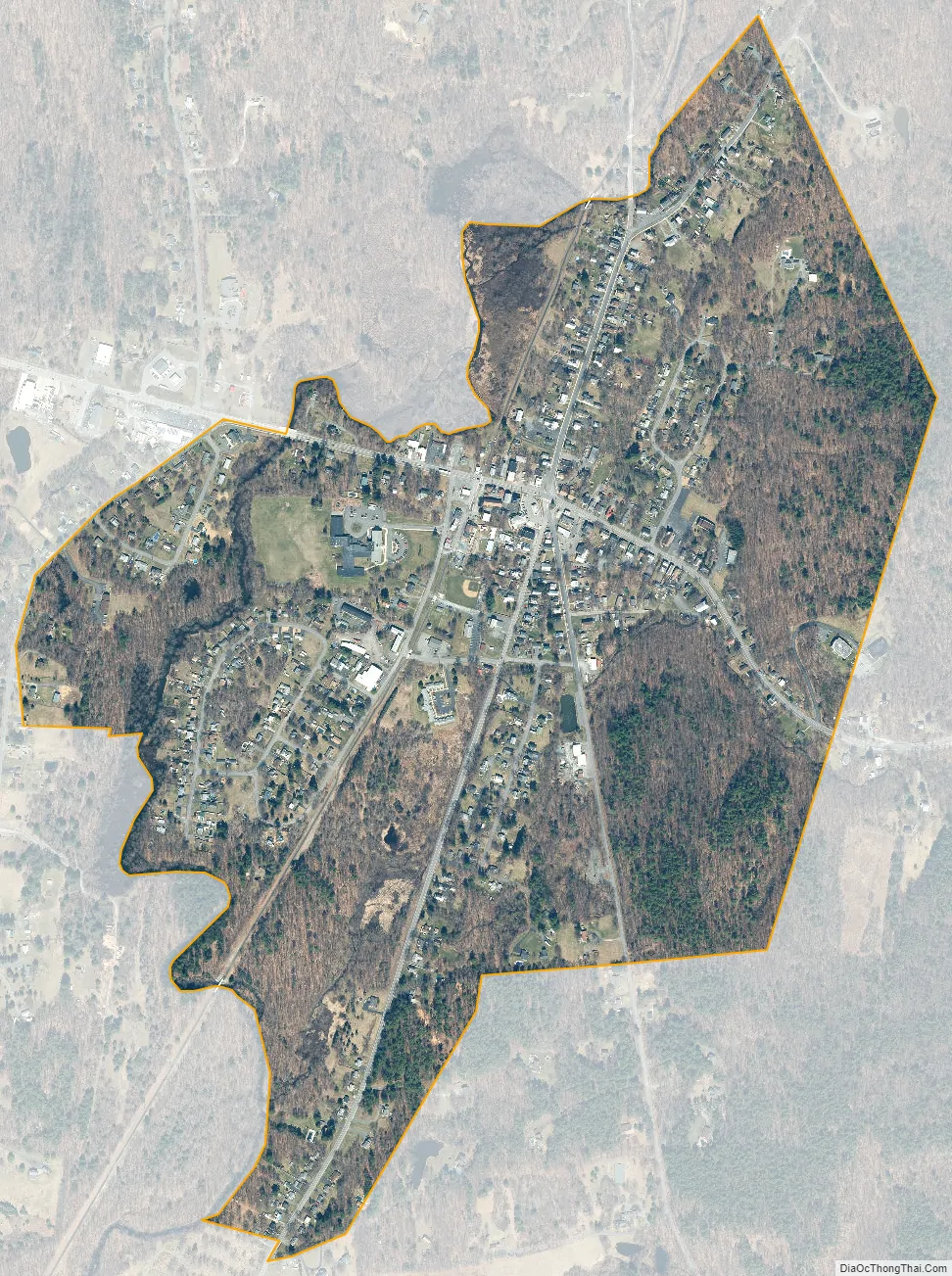
Nassau city Satellite Map
Geography
Nassau is located at 42°31′N 73°37′W / 42.517°N 73.617°W / 42.517; -73.617 (42.5152, -73.6111). According to the United States Census Bureau, the village has a total area of 0.7 square mile (1.8 km), all land.
See also
Map of New York State and its subdivision:- Albany
- Allegany
- Bronx
- Broome
- Cattaraugus
- Cayuga
- Chautauqua
- Chemung
- Chenango
- Clinton
- Columbia
- Cortland
- Delaware
- Dutchess
- Erie
- Essex
- Franklin
- Fulton
- Genesee
- Greene
- Hamilton
- Herkimer
- Jefferson
- Kings
- Lake Ontario
- Lewis
- Livingston
- Madison
- Monroe
- Montgomery
- Nassau
- New York
- Niagara
- Oneida
- Onondaga
- Ontario
- Orange
- Orleans
- Oswego
- Otsego
- Putnam
- Queens
- Rensselaer
- Richmond
- Rockland
- Saint Lawrence
- Saratoga
- Schenectady
- Schoharie
- Schuyler
- Seneca
- Steuben
- Suffolk
- Sullivan
- Tioga
- Tompkins
- Ulster
- Warren
- Washington
- Wayne
- Westchester
- Wyoming
- Yates
- Alabama
- Alaska
- Arizona
- Arkansas
- California
- Colorado
- Connecticut
- Delaware
- District of Columbia
- Florida
- Georgia
- Hawaii
- Idaho
- Illinois
- Indiana
- Iowa
- Kansas
- Kentucky
- Louisiana
- Maine
- Maryland
- Massachusetts
- Michigan
- Minnesota
- Mississippi
- Missouri
- Montana
- Nebraska
- Nevada
- New Hampshire
- New Jersey
- New Mexico
- New York
- North Carolina
- North Dakota
- Ohio
- Oklahoma
- Oregon
- Pennsylvania
- Rhode Island
- South Carolina
- South Dakota
- Tennessee
- Texas
- Utah
- Vermont
- Virginia
- Washington
- West Virginia
- Wisconsin
- Wyoming