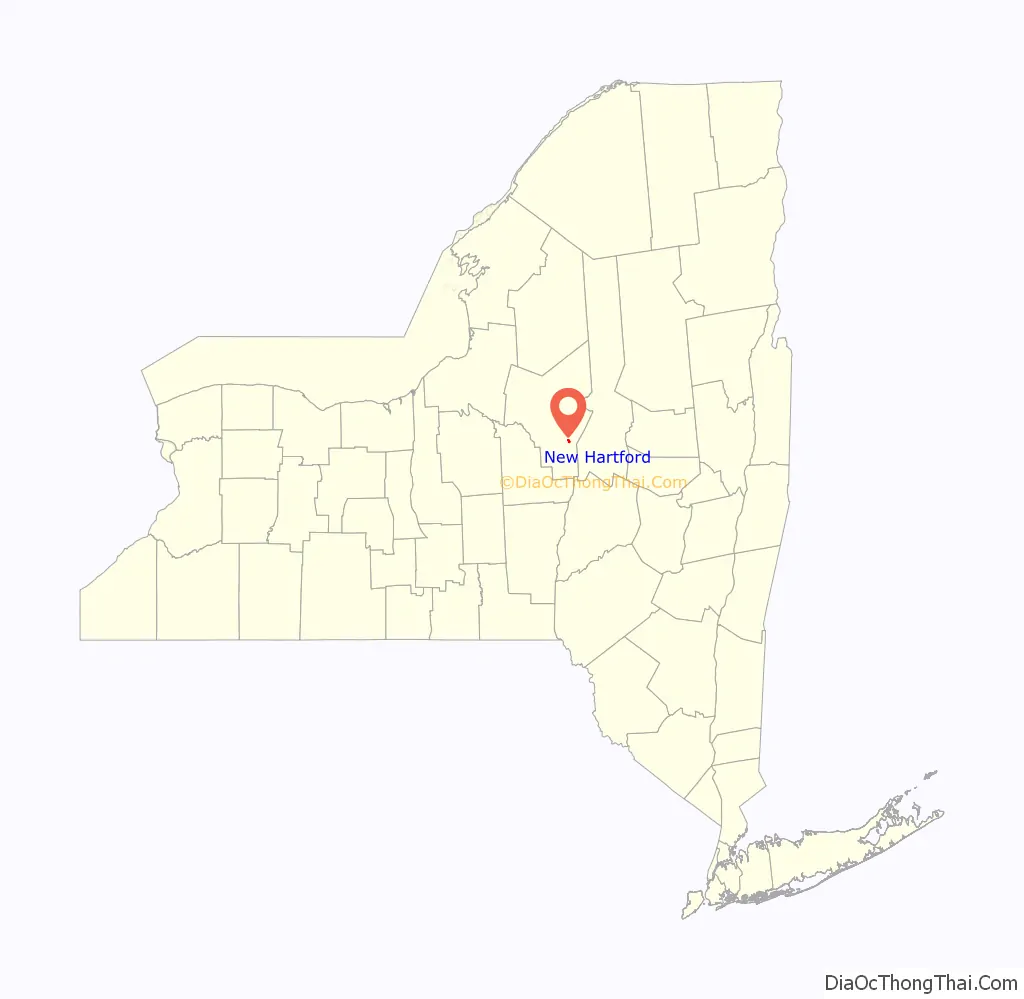
New Hartford is a village in Oneida County, New York, United States. The population was 1,847 at the 2010 census. The name was provided by early settlers from New Hartford, Connecticut.
The Village of New Hartford is inside the Town of New Hartford, near the border with Utica.
| Name: | New Hartford village |
|---|---|
| LSAD Code: | 47 |
| LSAD Description: | village (suffix) |
| State: | New York |
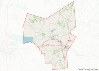
| County: | Oneida County |
| Elevation: | 541 ft (165 m) |
| Total Area: | 0.62 sq mi (1.60 km²) |
| Land Area: | 0.62 sq mi (1.60 km²) |
| Water Area: | 0.00 sq mi (0.00 km²) |
| Total Population: | 1,859 |
| Population Density: | 3,003.23/sq mi (1,159.09/km²) |
| ZIP code: | 13413 |
| Area code: | 315 |
| FIPS code: | 3650298 |
| GNISfeature ID: | 0958418 |
| Website: | www.villageofnewhartford.com |
Online Interactive Map
Click on ![]() to view map in "full screen" mode.
to view map in "full screen" mode.
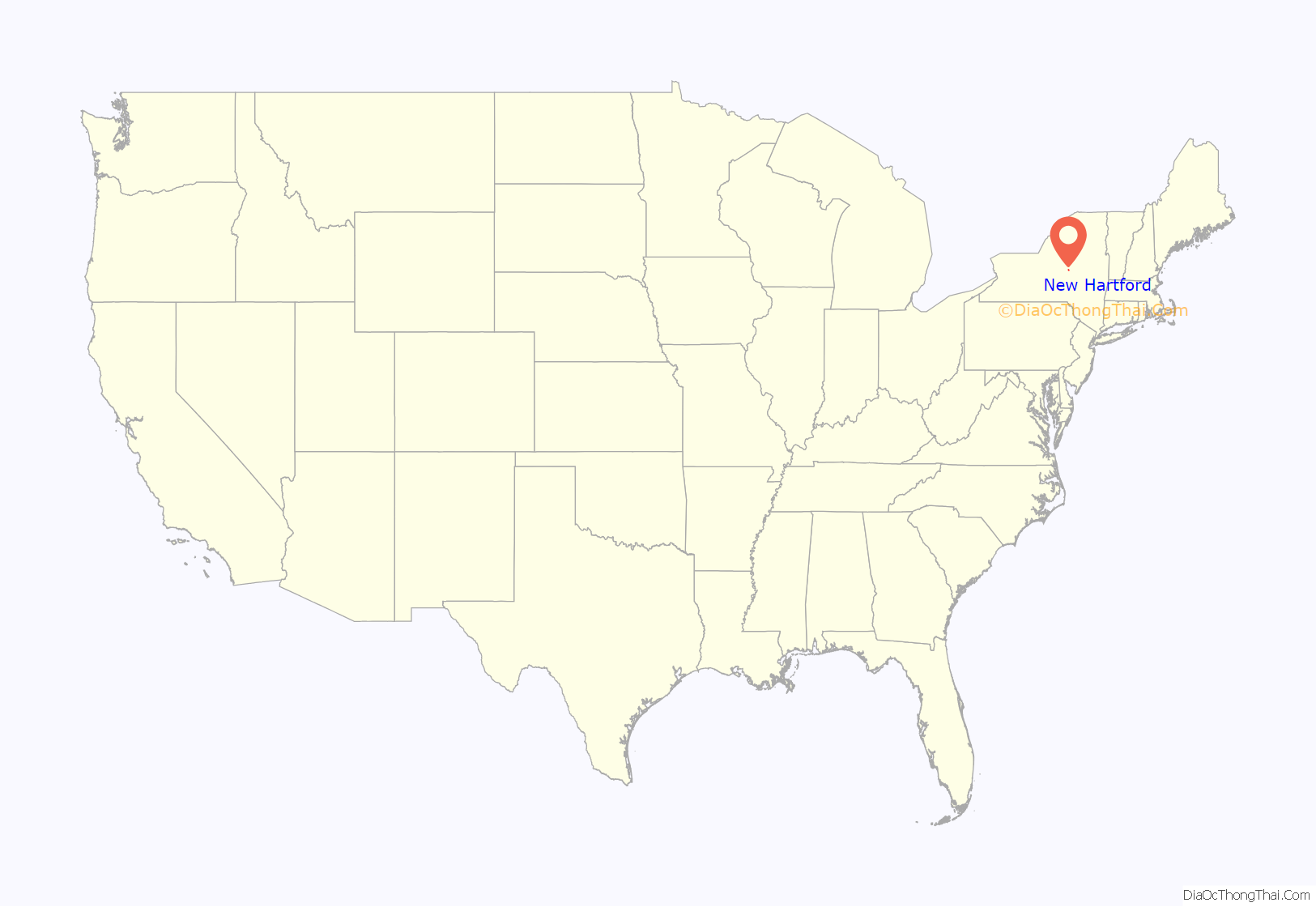
New Hartford location map. Where is New Hartford village?
History
The village was founded in 1789 by the construction of a log cabin by the Sanger family, who later constructed mills nearby. The village was a commercial success, until the opening of the Erie Canal gave Utica a big advantage.
The village of New Hartford was incorporated in 1869.
The village Fire Department was started in 1901. The NHFD provides fire protection and advanced life support emergency medical service to the village and portions of the town of New Hartford. These communities are served by an active corps of 98 volunteer firefighters. Based on dispatch records, it is the busiest volunteer fire department in Oneida County.
There are a few houses along Oxford Road that were used to hide slaves on the Underground Railroad.
St. Stephen’s Church was listed on the National Register of Historic Places in 1996.
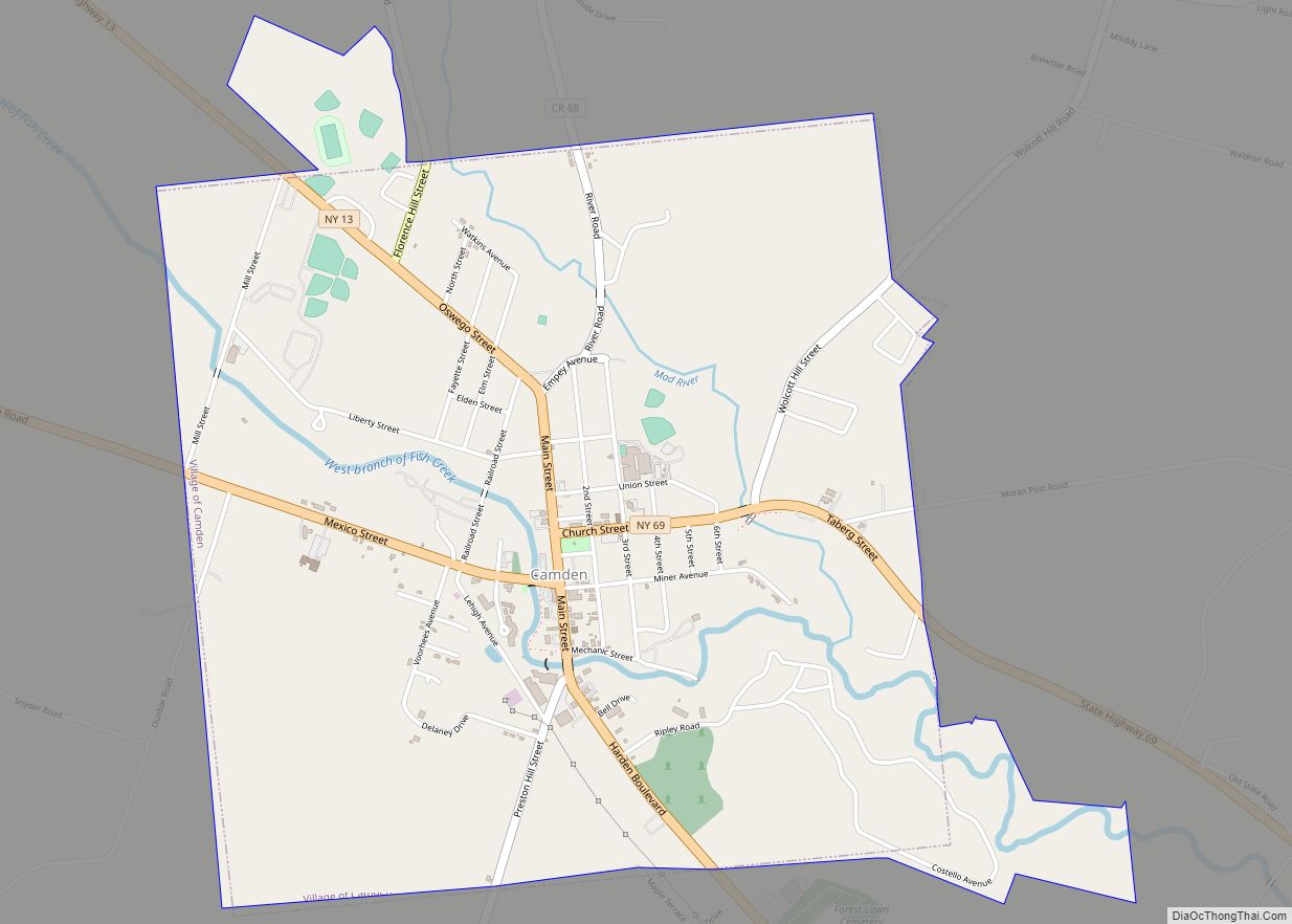
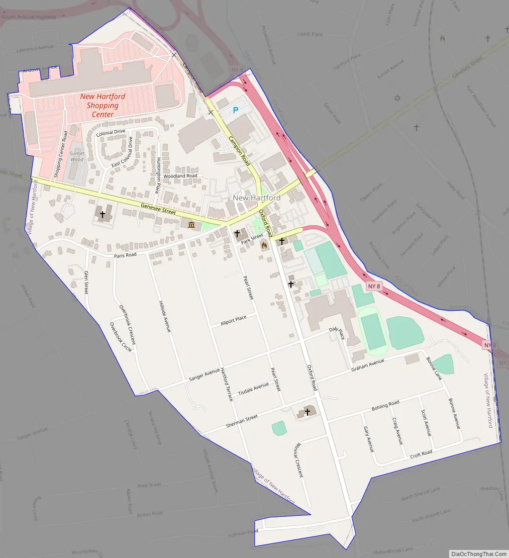
New Hartford Road Map
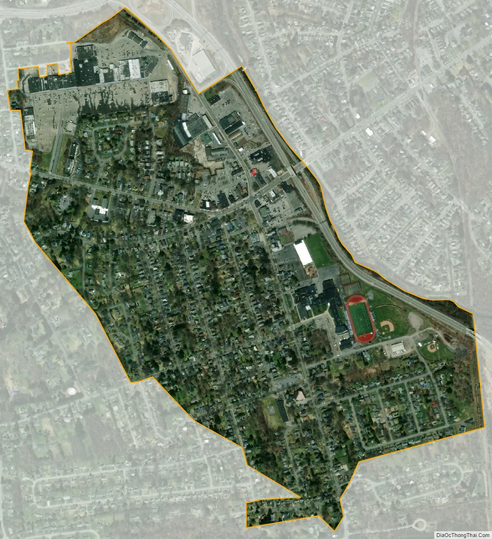
New Hartford city Satellite Map
Geography
New Hartford is located at 43°4′9″N 75°17′18″W / 43.06917°N 75.28833°W / 43.06917; -75.28833 (43.069169, -75.28846).
According to the United States Census Bureau, the village has a total area of 0.6 sq mi (1.6 km), all land.
See also
Map of New York State and its subdivision:- Albany
- Allegany
- Bronx
- Broome
- Cattaraugus
- Cayuga
- Chautauqua
- Chemung
- Chenango
- Clinton
- Columbia
- Cortland
- Delaware
- Dutchess
- Erie
- Essex
- Franklin
- Fulton
- Genesee
- Greene
- Hamilton
- Herkimer
- Jefferson
- Kings
- Lake Ontario
- Lewis
- Livingston
- Madison
- Monroe
- Montgomery
- Nassau
- New York
- Niagara
- Oneida
- Onondaga
- Ontario
- Orange
- Orleans
- Oswego
- Otsego
- Putnam
- Queens
- Rensselaer
- Richmond
- Rockland
- Saint Lawrence
- Saratoga
- Schenectady
- Schoharie
- Schuyler
- Seneca
- Steuben
- Suffolk
- Sullivan
- Tioga
- Tompkins
- Ulster
- Warren
- Washington
- Wayne
- Westchester
- Wyoming
- Yates
- Alabama
- Alaska
- Arizona
- Arkansas
- California
- Colorado
- Connecticut
- Delaware
- District of Columbia
- Florida
- Georgia
- Hawaii
- Idaho
- Illinois
- Indiana
- Iowa
- Kansas
- Kentucky
- Louisiana
- Maine
- Maryland
- Massachusetts
- Michigan
- Minnesota
- Mississippi
- Missouri
- Montana
- Nebraska
- Nevada
- New Hampshire
- New Jersey
- New Mexico
- New York
- North Carolina
- North Dakota
- Ohio
- Oklahoma
- Oregon
- Pennsylvania
- Rhode Island
- South Carolina
- South Dakota
- Tennessee
- Texas
- Utah
- Vermont
- Virginia
- Washington
- West Virginia
- Wisconsin
- Wyoming