New Hyde Park is a village in the Towns of Hempstead and North Hempstead in Nassau County, on Long Island, in New York, United States. It is the anchor community of the Greater New Hyde Park area. The population was 9,712 at the 2010 census.
| Name: | New Hyde Park village |
|---|---|
| LSAD Code: | 47 |
| LSAD Description: | village (suffix) |
| State: | New York |
| County: | Nassau County |
| Incorporated: | 1927 |
| Elevation: | 105 ft (32 m) |
| Total Area: | 0.85 sq mi (2.20 km²) |
| Land Area: | 0.85 sq mi (2.20 km²) |
| Water Area: | 0.00 sq mi (0.00 km²) |
| Total Population: | 10,257 |
| Population Density: | 12,095.52/sq mi (4,671.46/km²) |
| ZIP code: | 11040 |
| Area code: | 516 |
| FIPS code: | 3650397 |
| GNISfeature ID: | 0958423 |
| Website: | www.vnhp.org |
Online Interactive Map
Click on ![]() to view map in "full screen" mode.
to view map in "full screen" mode.
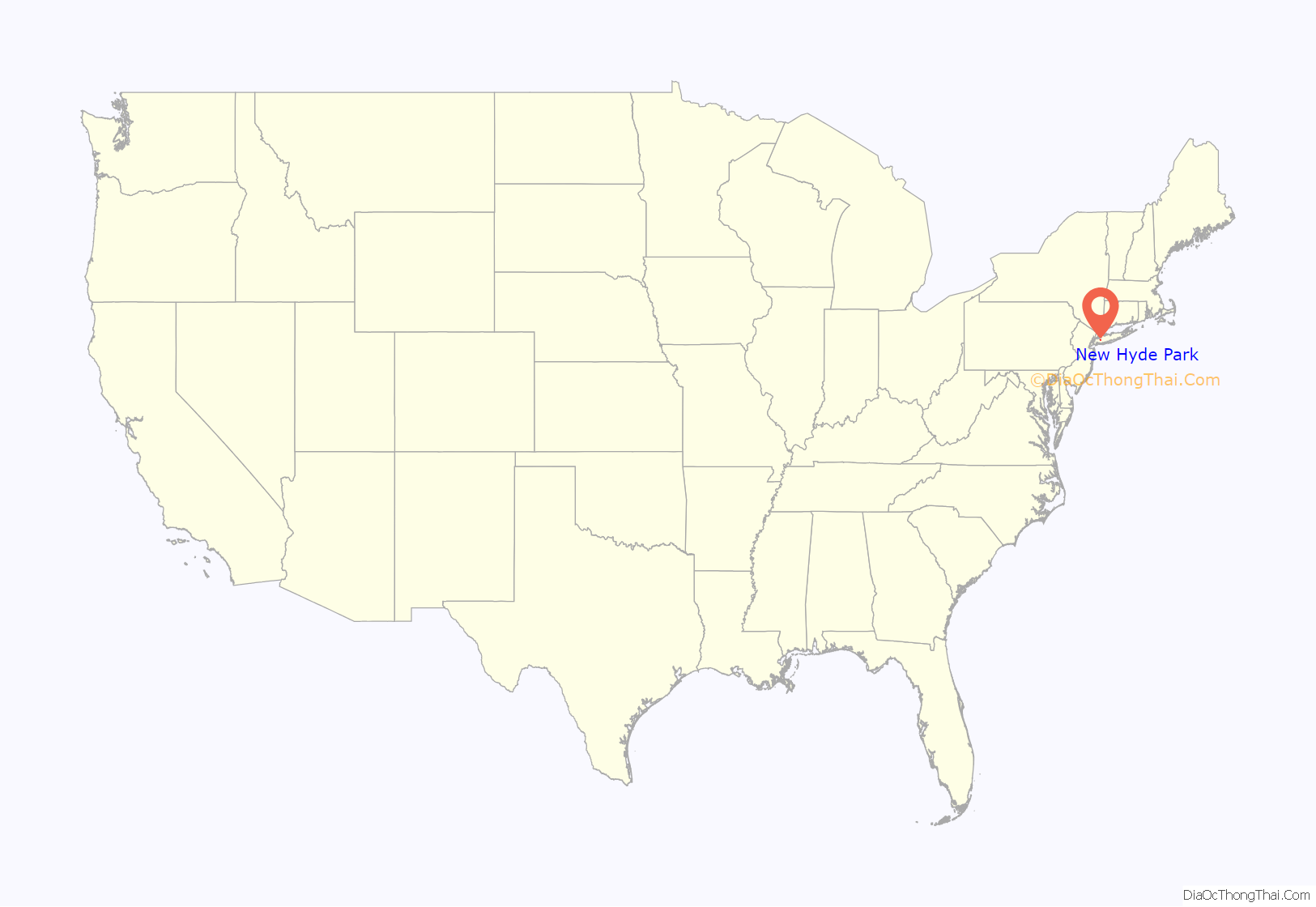
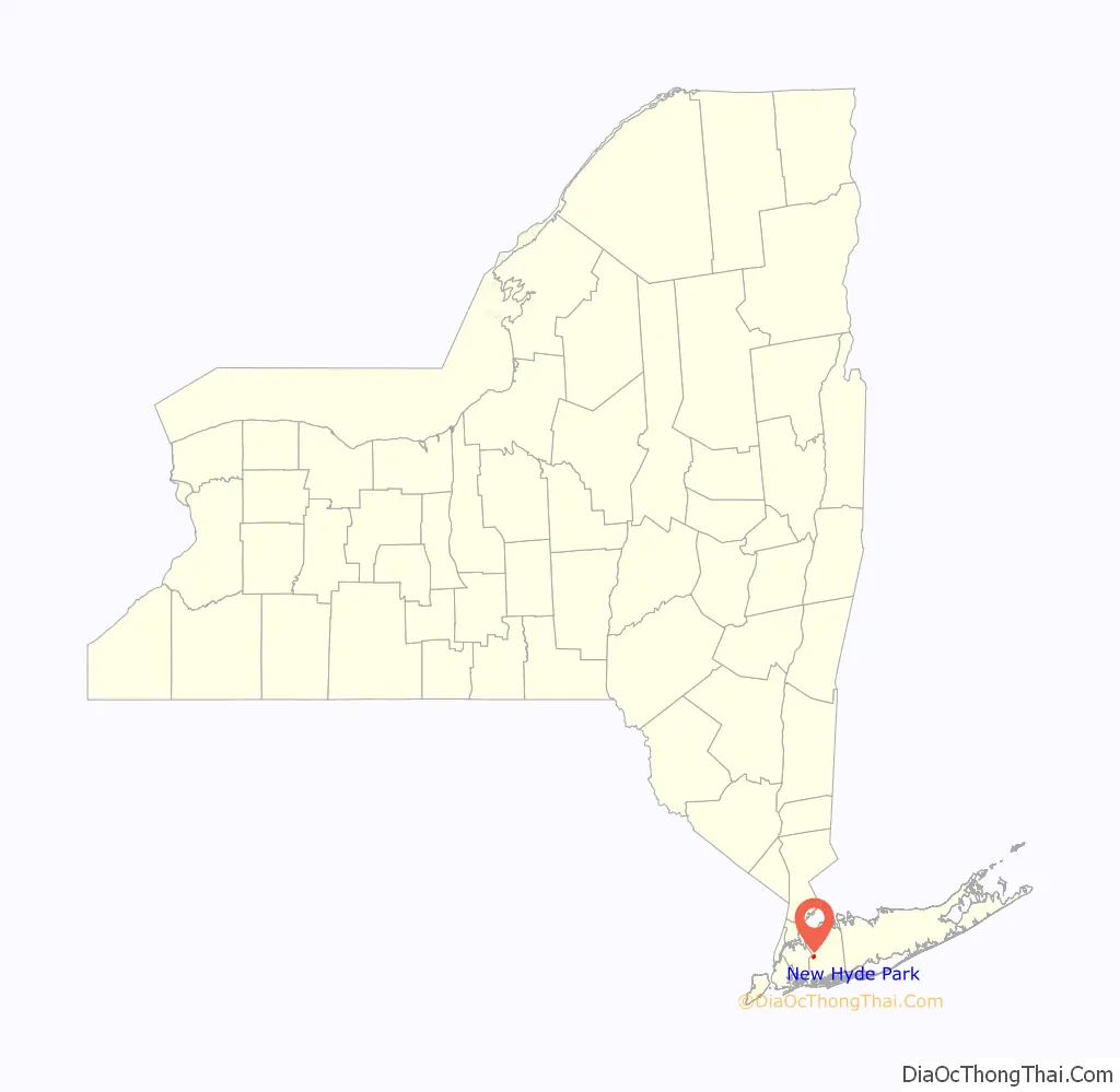
New Hyde Park location map. Where is New Hyde Park village?
History
Thomas Dongan, the fourth royal governor of New York, was granted an 800-acre parcel of land in 1683 that included New Hyde Park. It was known as “Dongan’s Farm.” Dongan built a mansion on what is now Lakeville Road. In 1691 Dongan fled to New England and then Ireland, as King James II and his Catholic forces failed to regain power in England and Ireland.
In 1715, Dongan’s estate was sold to George Clarke (who was Secretary of the Province of New York). He named it Hyde Park in honor of his wife, Ann Hyde. Clarke sold the property in 1783 and in the early 19th century it was parceled up and sold as farm land. Raising cattle was a chief agricultural enterprise from Dongan’s time until the mid-19th century, when cattle farming in the expanding American West forced the farmers into other pursuits.
When a post office opened in 1871, the name was changed from Hyde Park to New Hyde Park to avoid confusion with the Hyde Park in the Hudson Valley.
The village was incorporated in 1927, after the majority of residents voted in favor of doing so.
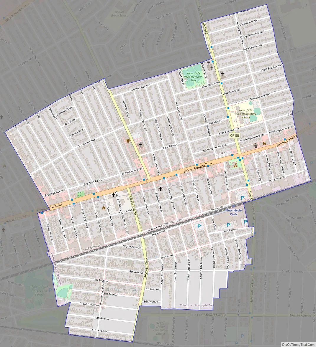
New Hyde Park Road Map
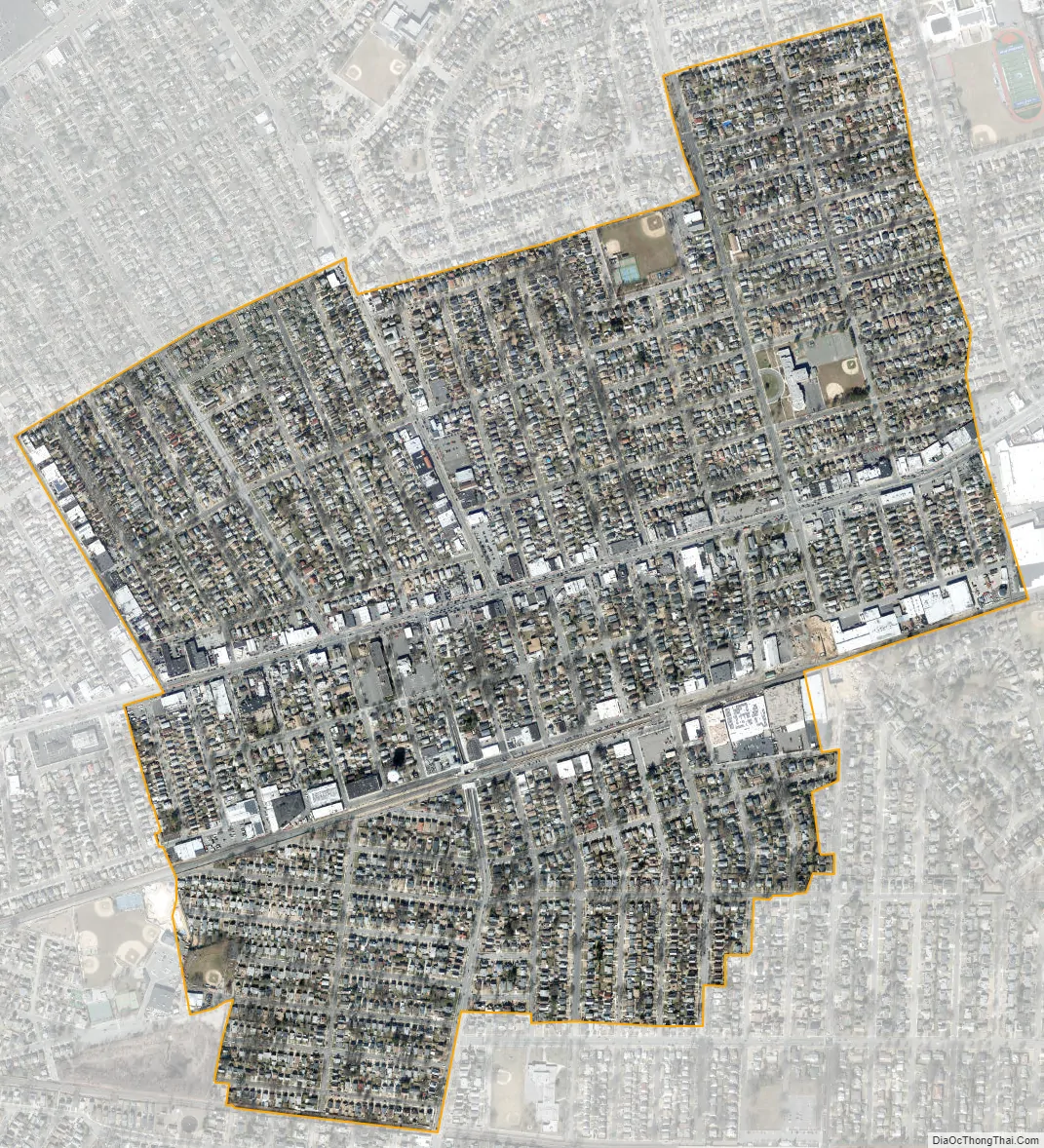
New Hyde Park city Satellite Map
Geography
According to the United States Census Bureau, the village has a total area of 0.8 square miles (2.1 km), all land.
New Hyde Park lies in the towns of Hempstead and North Hempstead in Nassau County.
Referred to by residents as New Hyde Park, the census-designated place (CDP) of North New Hyde Park also lies in North Hempstead. It also uses the New Hyde Park postal code, 11040.
New Hyde Park borders the villages of Floral Park, Stewart Manor, Garden City Park, and Garden City.
Greater New Hyde Park
In addition to the Village of New Hyde Park, the New Hyde Park 11040 zip code includes unincorporated New Hyde Park, North New Hyde Park, Garden City Park, Herricks, Manhasset Hills and Lakeville Estates – all unincorporated areas of the Town of North Hempstead in Nassau County. In addition, a small section of the New Hyde Park postal zone extends into the village of North Hills, also in Nassau County. Finally, a small area of Queens called Glen Oaks is provided mail service by the New Hyde Park 11040 post office.
The Village of New Hyde Park is patrolled by the Nassau County Police Department.
The New Hyde Park Fire District, Garden City Park Water and Fire District, and Manhasset-Lakeville Fire District provide fire protection for various portions of the New Hyde Park 11040 postal zone located in Nassau County.
See also
Map of New York State and its subdivision:- Albany
- Allegany
- Bronx
- Broome
- Cattaraugus
- Cayuga
- Chautauqua
- Chemung
- Chenango
- Clinton
- Columbia
- Cortland
- Delaware
- Dutchess
- Erie
- Essex
- Franklin
- Fulton
- Genesee
- Greene
- Hamilton
- Herkimer
- Jefferson
- Kings
- Lake Ontario
- Lewis
- Livingston
- Madison
- Monroe
- Montgomery
- Nassau
- New York
- Niagara
- Oneida
- Onondaga
- Ontario
- Orange
- Orleans
- Oswego
- Otsego
- Putnam
- Queens
- Rensselaer
- Richmond
- Rockland
- Saint Lawrence
- Saratoga
- Schenectady
- Schoharie
- Schuyler
- Seneca
- Steuben
- Suffolk
- Sullivan
- Tioga
- Tompkins
- Ulster
- Warren
- Washington
- Wayne
- Westchester
- Wyoming
- Yates
- Alabama
- Alaska
- Arizona
- Arkansas
- California
- Colorado
- Connecticut
- Delaware
- District of Columbia
- Florida
- Georgia
- Hawaii
- Idaho
- Illinois
- Indiana
- Iowa
- Kansas
- Kentucky
- Louisiana
- Maine
- Maryland
- Massachusetts
- Michigan
- Minnesota
- Mississippi
- Missouri
- Montana
- Nebraska
- Nevada
- New Hampshire
- New Jersey
- New Mexico
- New York
- North Carolina
- North Dakota
- Ohio
- Oklahoma
- Oregon
- Pennsylvania
- Rhode Island
- South Carolina
- South Dakota
- Tennessee
- Texas
- Utah
- Vermont
- Virginia
- Washington
- West Virginia
- Wisconsin
- Wyoming


