New York Mills is a village in Oneida County, New York, United States. The population was 3,327 at the 2010 census.
The village of New York Mills is partly in the town of Whitestown and partly in the town of New Hartford. It is a western suburb of the city of Utica.
| Name: | New York Mills village |
|---|---|
| LSAD Code: | 47 |
| LSAD Description: | village (suffix) |
| State: | New York |
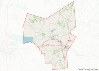
| County: | Oneida County |
| Elevation: | 466 ft (142 m) |
| Total Area: | 1.18 sq mi (3.06 km²) |
| Land Area: | 1.18 sq mi (3.06 km²) |
| Water Area: | 0.00 sq mi (0.00 km²) |
| Total Population: | 3,244 |
| Population Density: | 2,749.15/sq mi (1,061.73/km²) |
| ZIP code: | 13417 |
| Area code: | 315 |
| FIPS code: | 3651011 |
| GNISfeature ID: | 0958479 |
| Website: | http://www.nymills.com |
Online Interactive Map
Click on ![]() to view map in "full screen" mode.
to view map in "full screen" mode.
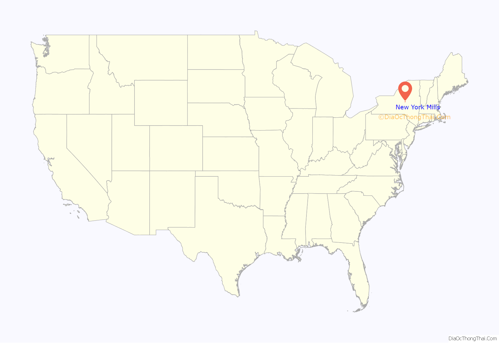
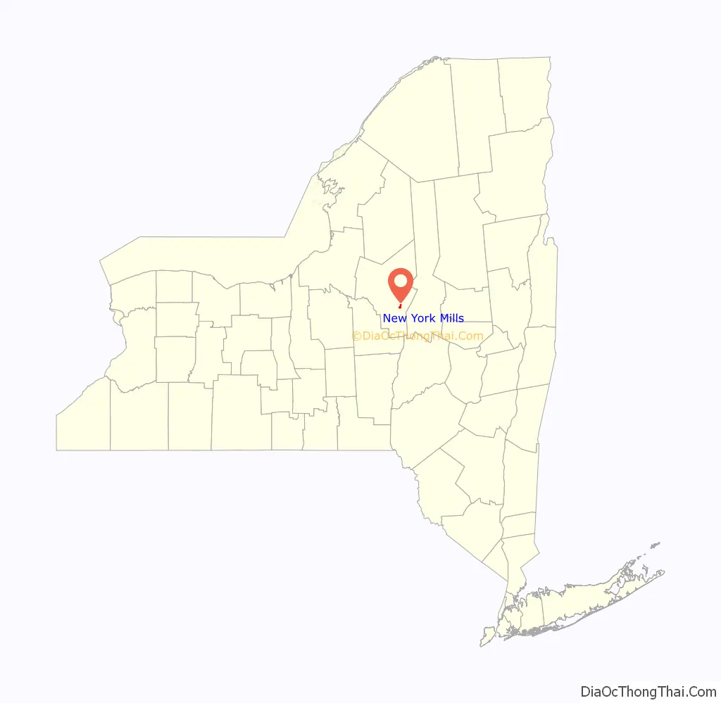
New York Mills location map. Where is New York Mills village?
History
There were three mills which gave the village its name. They dated from around 1808 and closed in the 1950s. The Middle Mill Historic District was listed on the National Register of Historic Places in 1976.
James S. Pula and Eugene E. Dziedzic provide a detailed history on the village in their book New York Mills (Images of America):
After the Revolutionary War, which started in the year of 1775 and ended in 1783, an act was passed and the town of Whitestown was formed. There was a piece of land west of Sadaquada Creek newly given the name New York Mills. People started to settle down on this small piece of land and create a life there in 1902. The people of the village built a school house, organized a school district for other settlers and their children. In 1902 Walcott &. Co was formed.
In 1810 mill number 2 of 4 was formed “Oneida Manufacturing Society.” In 1813 mill number 3 “Whitestown Cotton and Woolen Manufacturing Society” was formed and began operating in 1827. 1870 the Burr Stone mill was created and lastly mill number 4 of 4 was built and operating in 1902. New York Mills was full of booming industries before it became a village. The village is close to major rivers, the Mohawk river being one, and “many lakes and the spectacular Adirondack Mountains where residents can be dazzled by the fresh water lakes, valleys or mountains within a short time.”
The village has always been fairly small considering it is located in between, and in close proximity to, the two larger villages of New Hartford and Whitesboro [New York Mills also adjoins the village of Yorkville, both being western suburbs of the City of Utica]. The village incorporated a blacksmith, bakery, drug stores, and a few hotels. The name New York Mills originated from the mills that were located in the small village. In 1870 the Burr Stone Mill was built. It is massive in size and stands four and a half stories high, “the mill is 250 feet long and 70 feet wide”. Weaving machinery was dedicated to the first floor of the building. “The remaining floors two, three, and four were for spooling, carding, and warping.”
In 1909, the mills of the New York Mills Corporation went into foreclosure and were purchased by Augustus D. Juilliard Company. The Juilliard Company sold the mills again in 1953.
In 1902, Benjamin Stuart Walcott, Sr. and his son, Benjamin Stuart Walcott, Jr. opened the Walcott & Campbell Spinning Mill on Sauquoit Street. The Walcotts established the mill near Sadaquada Creek because they saw the potential of water power from the creek. After the mill shut down near mid-century, the building was split into two units, with the south side of the building occupied by the Nehi Bottling Works, and the north side occupied by Husted Concrete Products, a company that manufactured concrete pipe. As early as 1878, a high percentage of immigrants became an integral part of the villages population”. At this time Polish Immigrants began to settle in New York Mills to look for jobs and a place to live. Since the inception of the village, many improvements have been made such as road paving and updating old buildings that were built 75 years ago. However, “from its meager beginnings New York Mills has evolved and shaped up in throughout the past centuries”
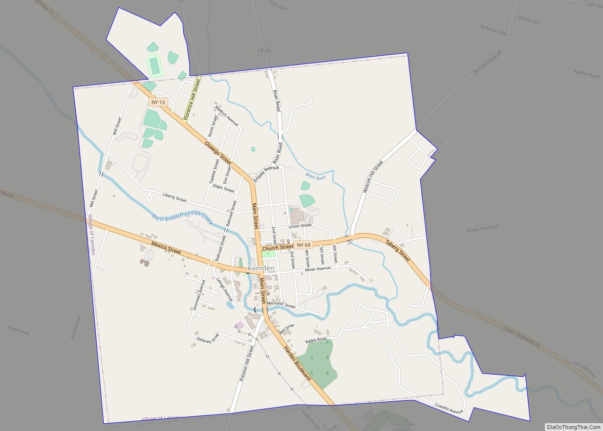
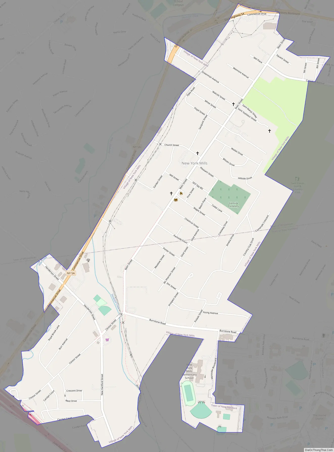
New York Mills Road Map
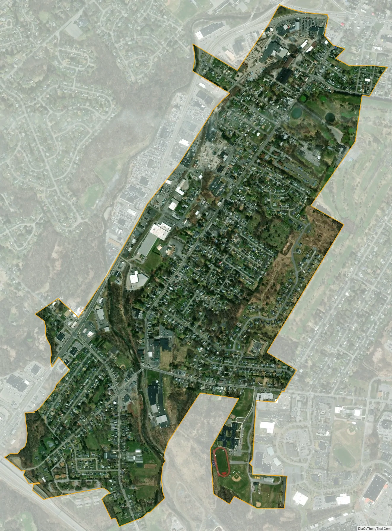
New York Mills city Satellite Map
Geography
New York Mills is located at 43°06′09″N 75°17′32″W / 43.102569°N 75.292105°W / 43.102569; -75.292105.
According to the United States Census Bureau, the village has a total area of 1.1 square miles (2.8 km), all land.
The village is south of the Mohawk River. Some of the surrounding towns and cities near New York Mills include Whitesboro, Utica, Yorkville, and New Hartford.
See also
Map of New York State and its subdivision:- Albany
- Allegany
- Bronx
- Broome
- Cattaraugus
- Cayuga
- Chautauqua
- Chemung
- Chenango
- Clinton
- Columbia
- Cortland
- Delaware
- Dutchess
- Erie
- Essex
- Franklin
- Fulton
- Genesee
- Greene
- Hamilton
- Herkimer
- Jefferson
- Kings
- Lake Ontario
- Lewis
- Livingston
- Madison
- Monroe
- Montgomery
- Nassau
- New York
- Niagara
- Oneida
- Onondaga
- Ontario
- Orange
- Orleans
- Oswego
- Otsego
- Putnam
- Queens
- Rensselaer
- Richmond
- Rockland
- Saint Lawrence
- Saratoga
- Schenectady
- Schoharie
- Schuyler
- Seneca
- Steuben
- Suffolk
- Sullivan
- Tioga
- Tompkins
- Ulster
- Warren
- Washington
- Wayne
- Westchester
- Wyoming
- Yates
- Alabama
- Alaska
- Arizona
- Arkansas
- California
- Colorado
- Connecticut
- Delaware
- District of Columbia
- Florida
- Georgia
- Hawaii
- Idaho
- Illinois
- Indiana
- Iowa
- Kansas
- Kentucky
- Louisiana
- Maine
- Maryland
- Massachusetts
- Michigan
- Minnesota
- Mississippi
- Missouri
- Montana
- Nebraska
- Nevada
- New Hampshire
- New Jersey
- New Mexico
- New York
- North Carolina
- North Dakota
- Ohio
- Oklahoma
- Oregon
- Pennsylvania
- Rhode Island
- South Carolina
- South Dakota
- Tennessee
- Texas
- Utah
- Vermont
- Virginia
- Washington
- West Virginia
- Wisconsin
- Wyoming