North Bay Shore is a hamlet and census-designated place on Long Island in the Town of Islip in Suffolk County, New York, United States. The population was 18,944 as of the 2010 census. The hamlet is a suburb of New York City.
| Name: | North Bay Shore CDP |
|---|---|
| LSAD Code: | 57 |
| LSAD Description: | CDP (suffix) |
| State: | New York |
| County: | Suffolk County |
| Elevation: | 36 ft (11 m) |
| Total Area: | 3.20 sq mi (8.28 km²) |
| Land Area: | 3.20 sq mi (8.28 km²) |
| Water Area: | 0.00 sq mi (0.00 km²) |
| Total Population: | 19,619 |
| Population Density: | 6,136.69/sq mi (2,369.53/km²) |
| ZIP code: | 11706 |
| Area code: | 631, 934 |
| FIPS code: | 3651495 |
| GNISfeature ID: | 0958679 |
Online Interactive Map
Click on ![]() to view map in "full screen" mode.
to view map in "full screen" mode.
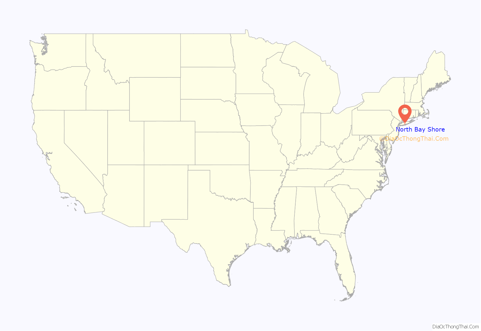
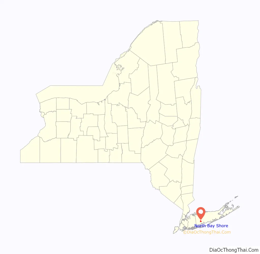
North Bay Shore location map. Where is North Bay Shore CDP?
History
Prior to suburbanization, North Bay Shore consisted of numerous farms.
In 1972, a small airplane made an emergency landing in North Bay Shore. The plane, a Cessna 150 piloted by Levittown resident Joseph Krzywonos, suffered from a motor failure when on approach to the former Deer Park Airport, and Krzywonos was unable to restart the motor. The plane soon hit a tree and power lines, before spinning and coming to a halt in the driveway of 18 Chimney Lane. Although the plane was destroyed, the cars in the driveway were damaged, and the home’s power and windows were knocked out by the impact, nobody was hurt in the incident.
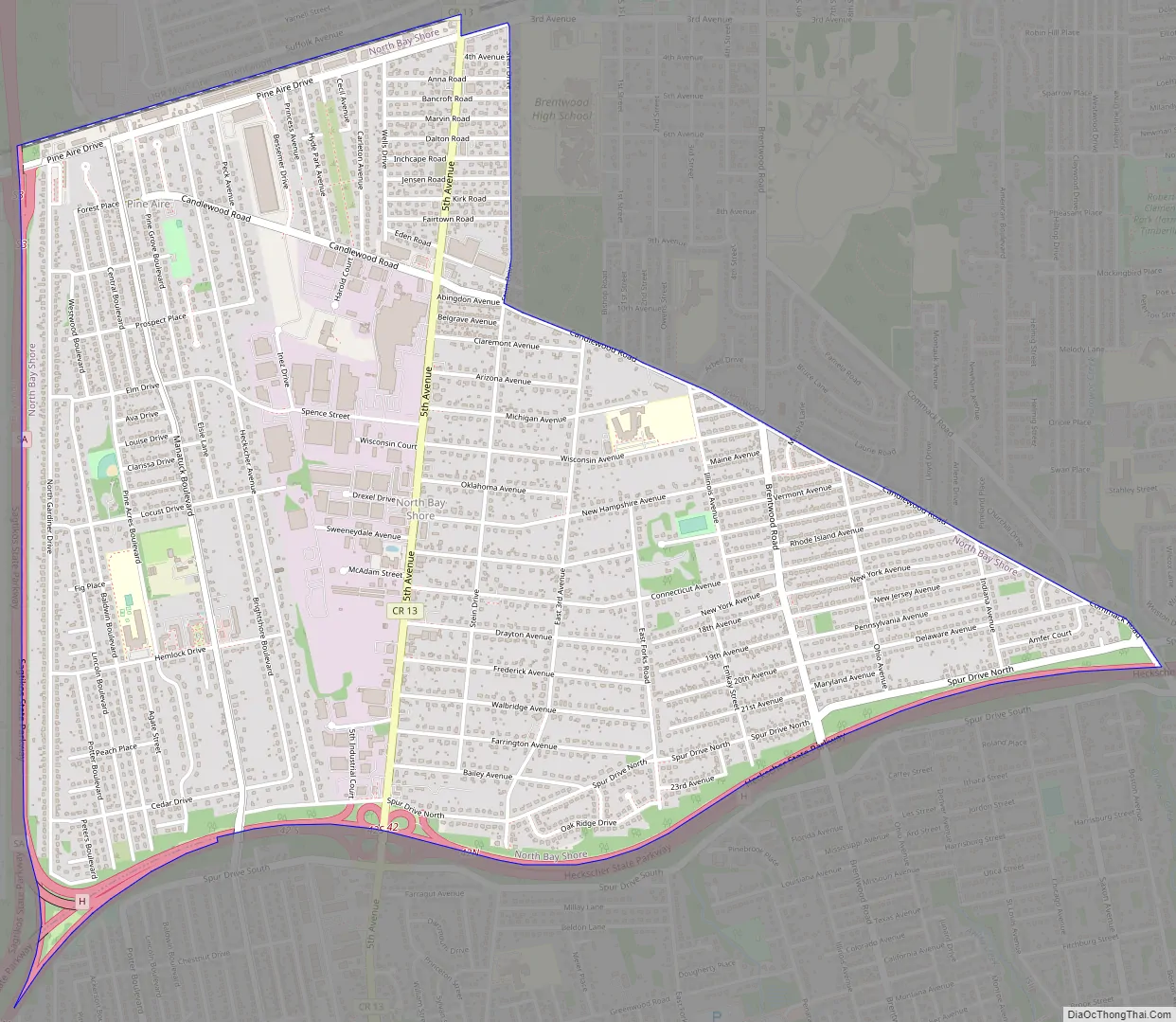
North Bay Shore Road Map
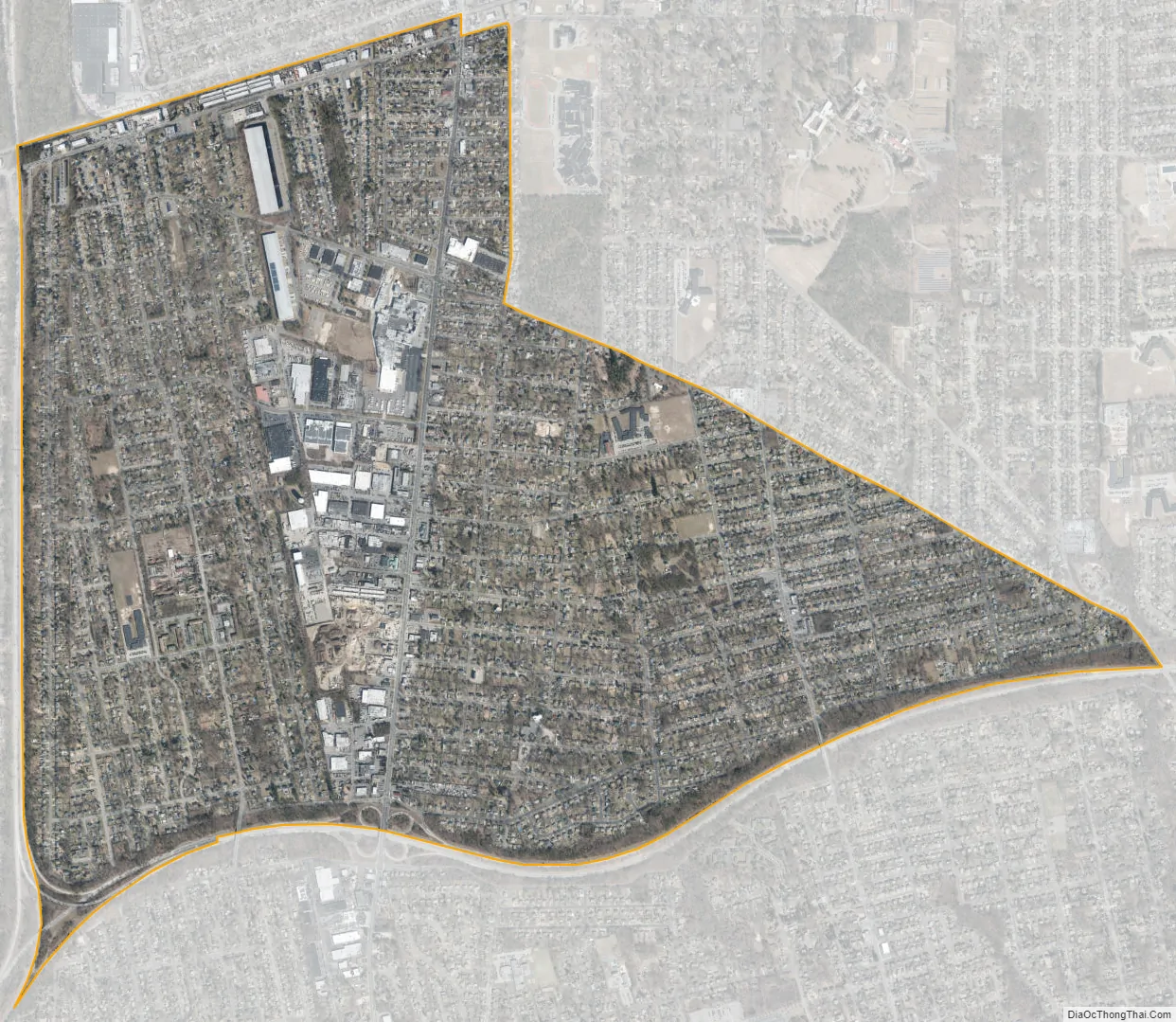
North Bay Shore city Satellite Map
Geography
According to the United States Census Bureau, the CDP has a total area of 3.2 square miles (8.4 km), all land.
For the 2010 census, the US Census Bureau slightly enlarged the CDP to include more or neighboring Brentwood (the portion west of Candlewood Road).
The area known as Pine Aire is located within the hamlet.
The Sagtikos State Parkway and the Southern State Parkway form the western and southern boundaries of North Bay Shore, respectively. Much of the northern border is formed by the Long Island Rail Road’s Ronkonkoma Branch.
See also
Map of New York State and its subdivision:- Albany
- Allegany
- Bronx
- Broome
- Cattaraugus
- Cayuga
- Chautauqua
- Chemung
- Chenango
- Clinton
- Columbia
- Cortland
- Delaware
- Dutchess
- Erie
- Essex
- Franklin
- Fulton
- Genesee
- Greene
- Hamilton
- Herkimer
- Jefferson
- Kings
- Lake Ontario
- Lewis
- Livingston
- Madison
- Monroe
- Montgomery
- Nassau
- New York
- Niagara
- Oneida
- Onondaga
- Ontario
- Orange
- Orleans
- Oswego
- Otsego
- Putnam
- Queens
- Rensselaer
- Richmond
- Rockland
- Saint Lawrence
- Saratoga
- Schenectady
- Schoharie
- Schuyler
- Seneca
- Steuben
- Suffolk
- Sullivan
- Tioga
- Tompkins
- Ulster
- Warren
- Washington
- Wayne
- Westchester
- Wyoming
- Yates
- Alabama
- Alaska
- Arizona
- Arkansas
- California
- Colorado
- Connecticut
- Delaware
- District of Columbia
- Florida
- Georgia
- Hawaii
- Idaho
- Illinois
- Indiana
- Iowa
- Kansas
- Kentucky
- Louisiana
- Maine
- Maryland
- Massachusetts
- Michigan
- Minnesota
- Mississippi
- Missouri
- Montana
- Nebraska
- Nevada
- New Hampshire
- New Jersey
- New Mexico
- New York
- North Carolina
- North Dakota
- Ohio
- Oklahoma
- Oregon
- Pennsylvania
- Rhode Island
- South Carolina
- South Dakota
- Tennessee
- Texas
- Utah
- Vermont
- Virginia
- Washington
- West Virginia
- Wisconsin
- Wyoming


