Old Westbury is a village in the Town of North Hempstead and Oyster Bay in Nassau County, on the North Shore of Long Island, in New York, United States. The population was 4,671 at the 2010 census.
The Incorporated Village of Old Westbury is one of the wealthiest villages in the country as well as the second-richest zip code in the New York State, topped only by Harrison in Westchester County. In 2007, Business Week dubbed Old Westbury as New York’s most expensive suburb. Old Westbury Gardens has been recognized as one of the three best public gardens in the world by Four Seasons Hotels magazine.
| Name: | Old Westbury village |
|---|---|
| LSAD Code: | 47 |
| LSAD Description: | village (suffix) |
| State: | New York |
| County: | Nassau County |
| Incorporated: | 1924 |
| Elevation: | 164 ft (50 m) |
| Total Area: | 8.57 sq mi (22.20 km²) |
| Land Area: | 8.57 sq mi (22.20 km²) |
| Water Area: | 0.00 sq mi (0.00 km²) |
| Total Population: | 4,289 |
| Population Density: | 500.35/sq mi (193.18/km²) |
| ZIP code: | 11568 |
| FIPS code: | 3654705 |
| GNISfeature ID: | 0959332 |
| Website: | www.villageofoldwestbury.org |
Online Interactive Map
Click on ![]() to view map in "full screen" mode.
to view map in "full screen" mode.
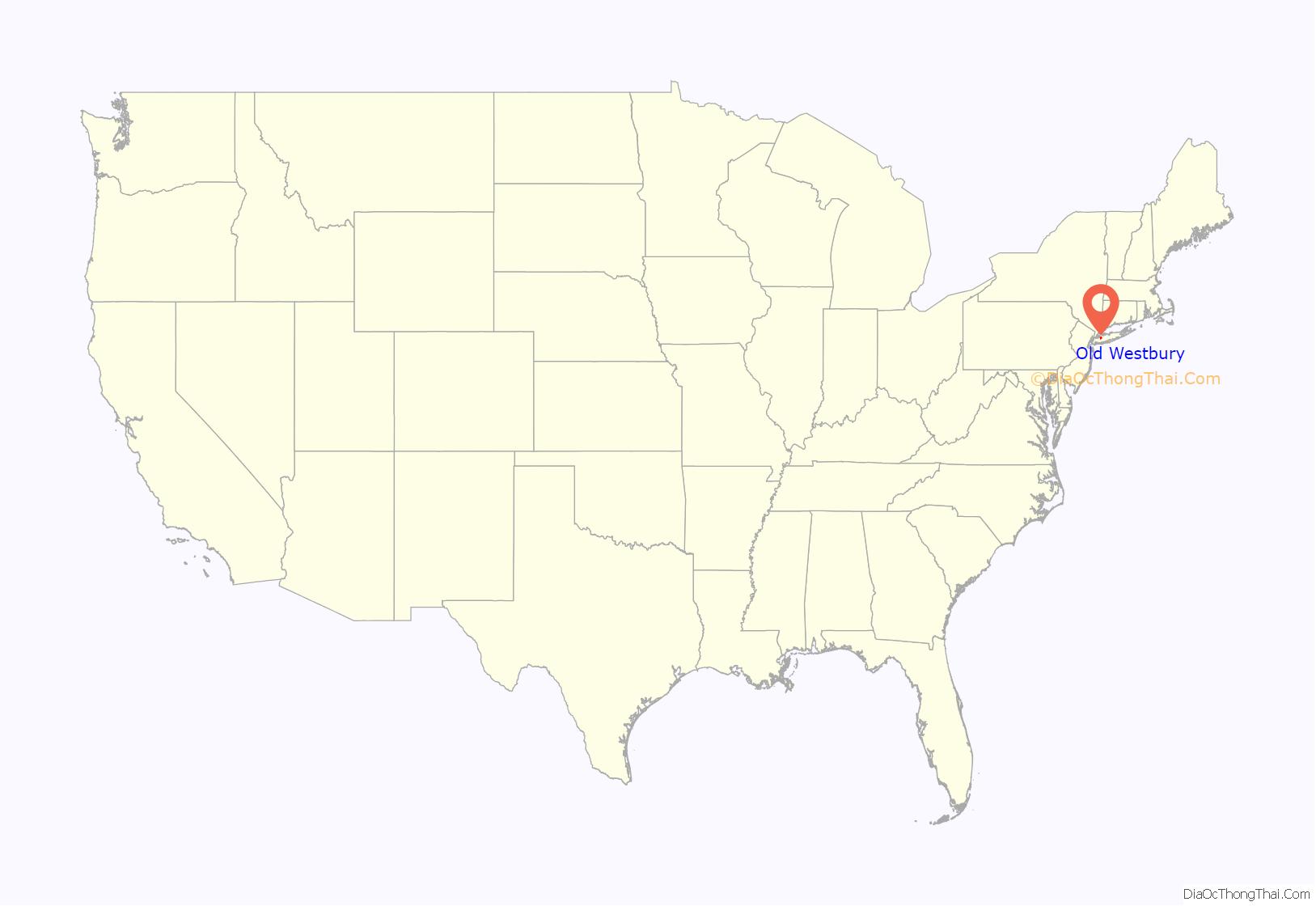
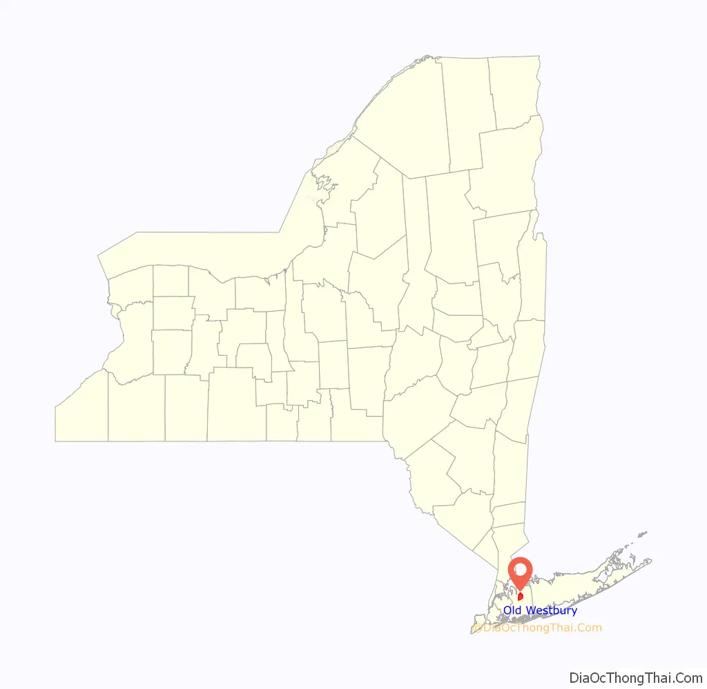
Old Westbury location map. Where is Old Westbury village?
History
Westbury was founded by Edmond Titus, and was later joined by Henry Willis, one of the first English settlers. Westbury had been a Quaker community of isolated farms until the railroad came in 1836. After the Civil War, the New York elite discovered that the rich, well-wooded flat countryside of the Hempstead Plains was a place to raise horses, and to hunt foxes and play polo at the Meadow Brook Polo Club.
The Village of Old Westbury was incorporated in 1924, separating itself from Westbury, the adjacent area that housed many of the families of the construction and building staffs for the Old Westbury mansions. The “Old” part of Old Westbury’s name reflects the community’s need for its postal address to be different from the Westbury in Cayuga County, as per postal requirements (it had been using a postal address of North Hempstead for this reason); residents did this when they wanted a local post office ca. 1841, and when they incorporated Old Westbury as a village, they felt that it would be confusing for the village name and post office name to be different from one another. The Village of Westbury, located adjacent to Old Westbury, adopted that designation when it incorporated in 1932 as Cayuga County’s Westbury’s name was no longer being used.
The area was originally known as Wallage, which is related to a Native American term roughly meaning “ditch” or “hole.” By February 1663, it was known as Wood Edge, and by October 1675 it was known as “the Plains edge” or simply Plainedge. The name Westbury began to be used for the area around 1683. The name Westbury was chosen by Henry Willis, who named it after Westbury, Wiltshire, his hometown in England.
Westbury House was the residence of Henry Phipps’ eldest son, John Shaffer Phipps. Today, the property is operated as Old Westbury Gardens. Robert Low Bacon built ‘Old Acres’ in the style of an Italian villa. Other landowners were Thomas Hitchcock and his family, Harry Payne Whitney and his wife the former Gertrude Vanderbilt, founder of New York’s Whitney Museum, at Apple Green (formerly a Mott house), Cornelius Vanderbilt Whitney, whose estate is now subdivided into the Old Westbury Country Club and New York Institute of Technology. The architect Thomas Hastings built a modest house for himself, ‘Bagatelle’, in 1908. A. Conger Goodyear, then president of the Museum of Modern Art in New York City had a house built in 1938 by famed architect Edward Durell Stone, who also destined the building for Conger’s museum. In 2003, the A. Conger Goodyear House was added to the National Register of Historic Places to protect the structure from being demolished to subdivide the expensive land surrounding it. The estate of Robert Winthrop, an investment banker and member of the Dudley–Winthrop family, for whom Winthrop-University Hospital was named, has been similarly preserved. Part of Gertrude Vanderbilt Whitney’s estate and her sculpture studio has been preserved and maintained by one of her grandchildren, Pamela Tower LeBoutillier.
When Robert Moses was planning the Northern State Parkway, the powers of Old Westbury forced him to re-site it five miles (8 km) to the south. Once the parkway was completed, many residents found it to not be the eyesore they had been anticipating and regretted making their commutes more inconvenient than necessary. In the 1950s, the state purchased land from Charles E. Wilson, a former president of General Motors who needed to sell off his Old Westbury estate to pull himself out of financial crisis and relocate to the nation’s capital to serve in President Dwight D. Eisenhower’s cabinet. The land, which runs along an edge of the village, was used for the Long Island Expressway.
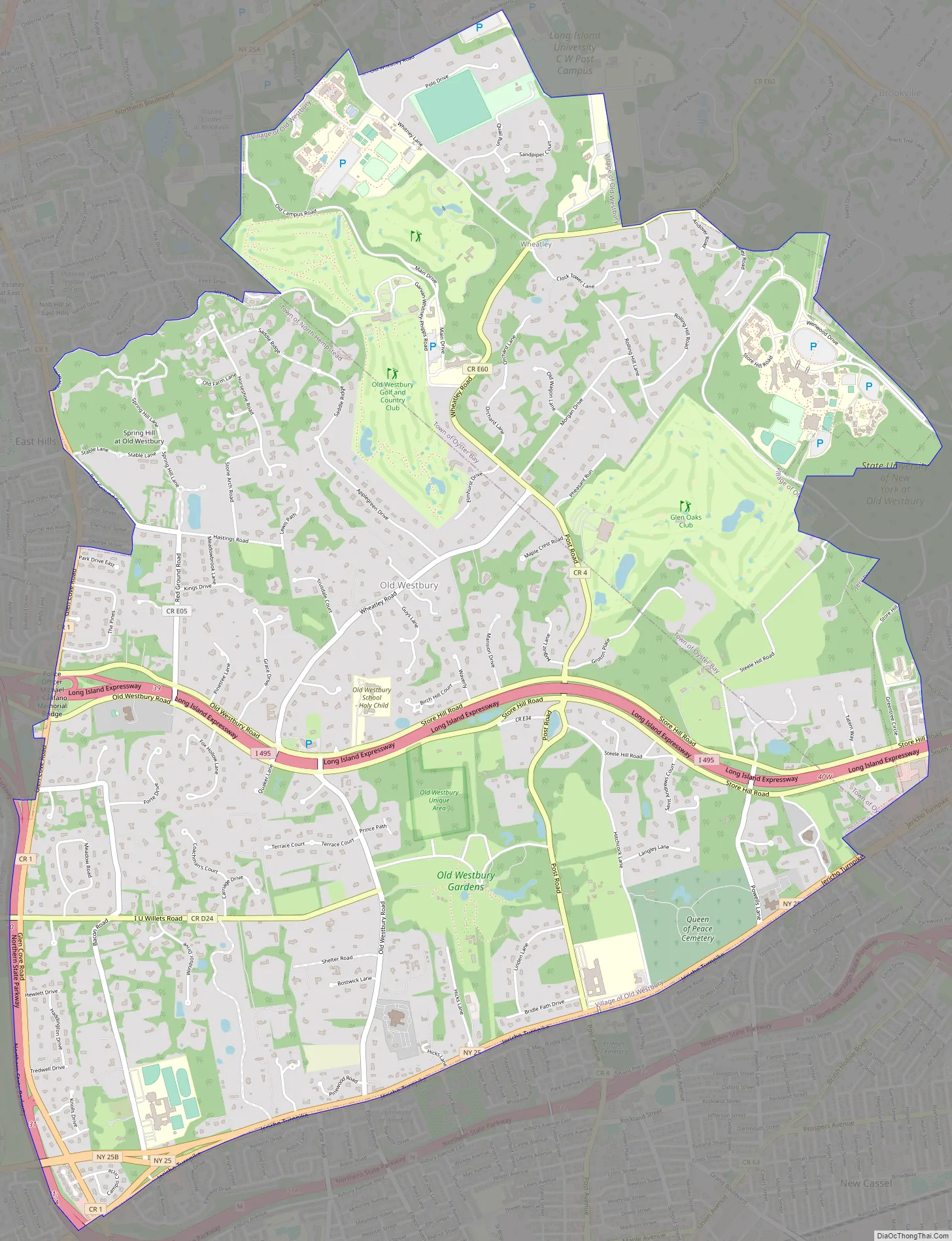
Old Westbury Road Map
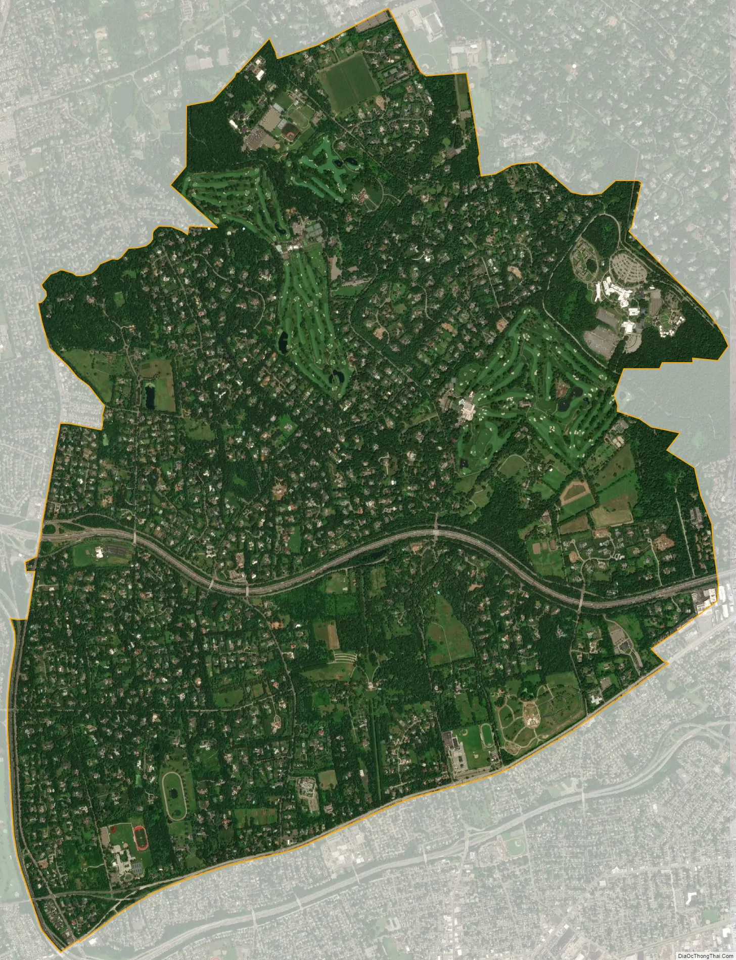
Old Westbury city Satellite Map
Geography
According to the United States Census Bureau, the village has a total area of 8.57 square miles (22.2 km), all land.
See also
Map of New York State and its subdivision:- Albany
- Allegany
- Bronx
- Broome
- Cattaraugus
- Cayuga
- Chautauqua
- Chemung
- Chenango
- Clinton
- Columbia
- Cortland
- Delaware
- Dutchess
- Erie
- Essex
- Franklin
- Fulton
- Genesee
- Greene
- Hamilton
- Herkimer
- Jefferson
- Kings
- Lake Ontario
- Lewis
- Livingston
- Madison
- Monroe
- Montgomery
- Nassau
- New York
- Niagara
- Oneida
- Onondaga
- Ontario
- Orange
- Orleans
- Oswego
- Otsego
- Putnam
- Queens
- Rensselaer
- Richmond
- Rockland
- Saint Lawrence
- Saratoga
- Schenectady
- Schoharie
- Schuyler
- Seneca
- Steuben
- Suffolk
- Sullivan
- Tioga
- Tompkins
- Ulster
- Warren
- Washington
- Wayne
- Westchester
- Wyoming
- Yates
- Alabama
- Alaska
- Arizona
- Arkansas
- California
- Colorado
- Connecticut
- Delaware
- District of Columbia
- Florida
- Georgia
- Hawaii
- Idaho
- Illinois
- Indiana
- Iowa
- Kansas
- Kentucky
- Louisiana
- Maine
- Maryland
- Massachusetts
- Michigan
- Minnesota
- Mississippi
- Missouri
- Montana
- Nebraska
- Nevada
- New Hampshire
- New Jersey
- New Mexico
- New York
- North Carolina
- North Dakota
- Ohio
- Oklahoma
- Oregon
- Pennsylvania
- Rhode Island
- South Carolina
- South Dakota
- Tennessee
- Texas
- Utah
- Vermont
- Virginia
- Washington
- West Virginia
- Wisconsin
- Wyoming


