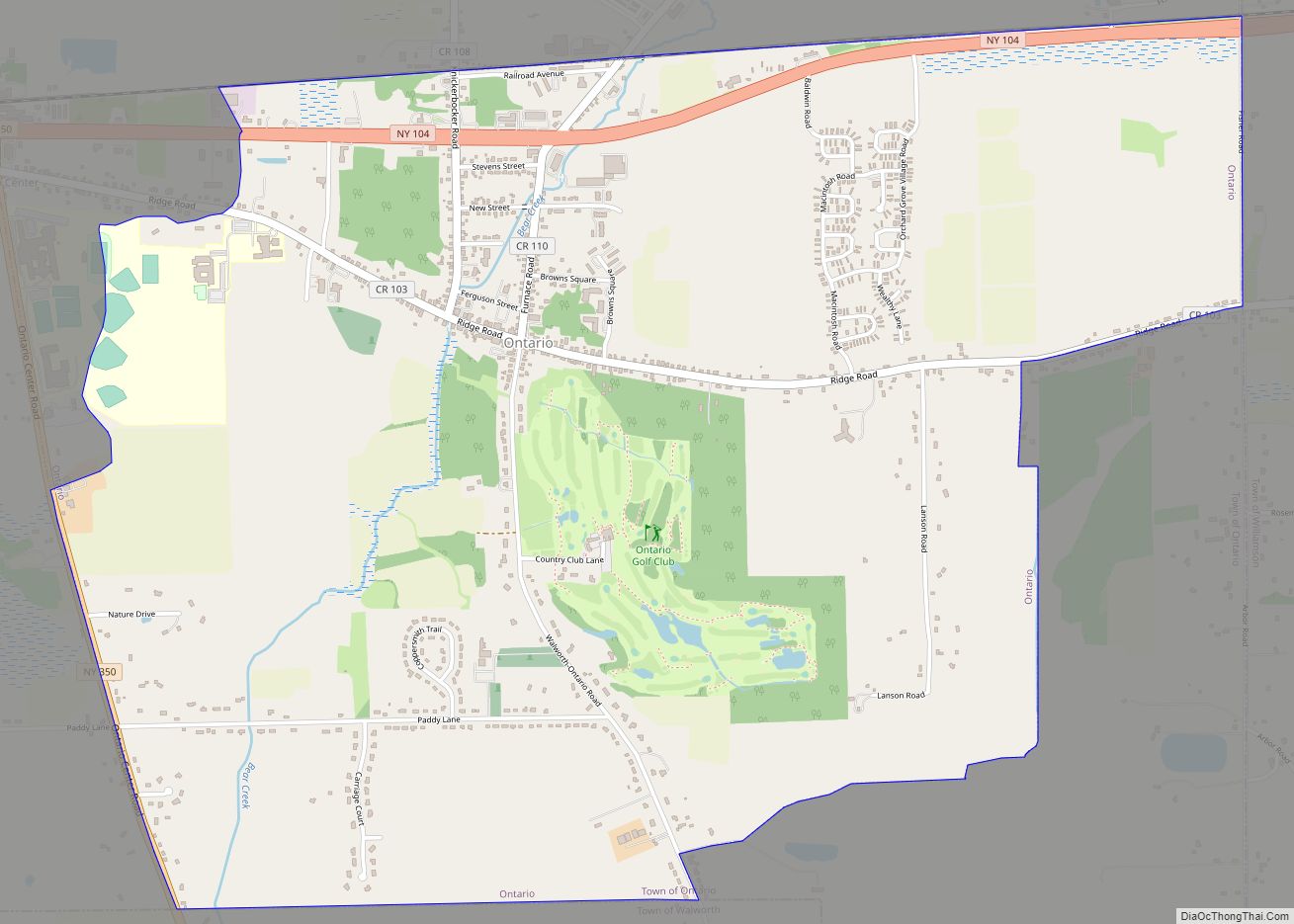
Ontario is a hamlet and census-designated place (CDP) in the town of Ontario, Wayne County, New York, United States. The CDP extends into land surrounding the hamlet, including the east half of the hamlet of Ontario Center. The population of the CDP was 2,160 at the 2010 census. Government offices for the Town of Ontario are located in the hamlet.
The Brick Church Corners historic district was listed on the National Register of Historic Places in 1973.
| Name: | Ontario CDP |
|---|---|
| LSAD Code: | 57 |
| LSAD Description: | CDP (suffix) |
| State: | New York |
| County: | Wayne County |
| Elevation: | 440 ft (134 m) |
| Total Area: | 4.03 sq mi (10.44 km²) |
| Land Area: | 4.03 sq mi (10.44 km²) |
| Water Area: | 0.00 sq mi (0.00 km²) |
| Total Population: | 2,215 |
| Population Density: | 549.63/sq mi (212.21/km²) |
| ZIP code: | 14519 |
| Area code: | 315 and 680 |
| FIPS code: | 3655002 |
| GNISfeature ID: | 2631644 |
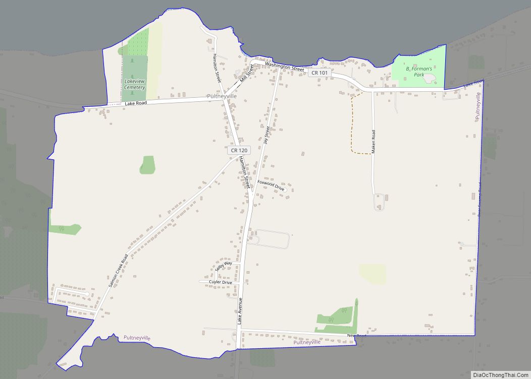
Online Interactive Map
Click on ![]() to view map in "full screen" mode.
to view map in "full screen" mode.
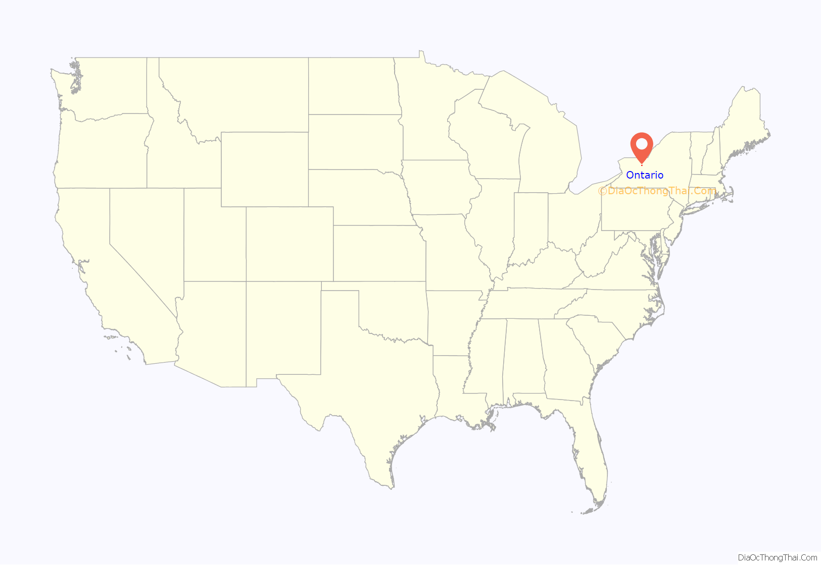
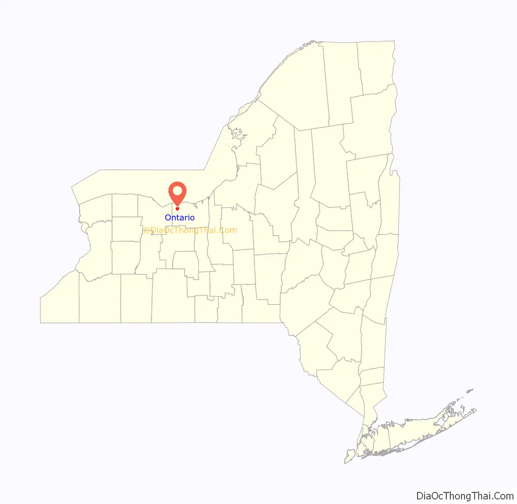
Ontario location map. Where is Ontario CDP?
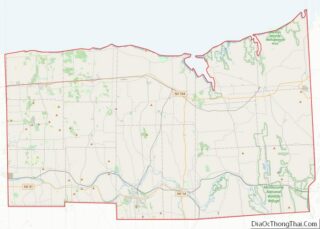
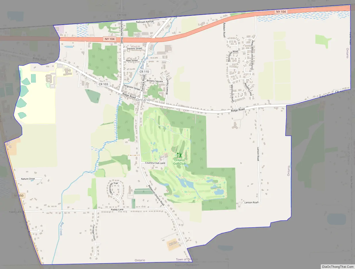
Ontario Road Map
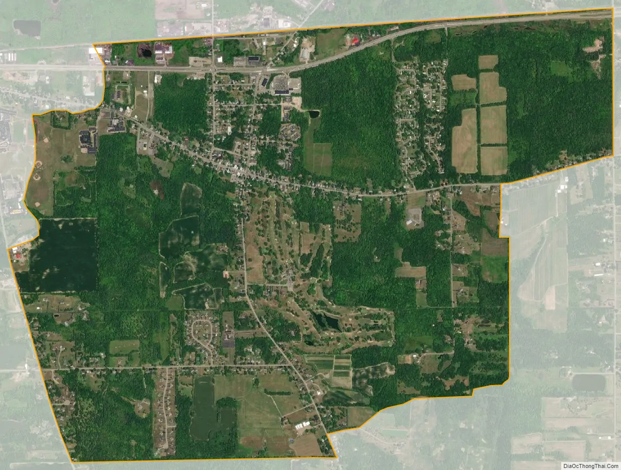
Ontario city Satellite Map
Geography
Ontario is located at 43°13′03″N 77°16′46″W / 43.217635°N 77.279334°W / 43.217635; -77.279334.
According to the United States Census Bureau, the CDP has a total area of 3.8 square miles (9.8 km), all land.
Ontario is located off Route 104. The primary intersection in the hamlet is at Ridge Road (CR 103) and Knickerbocker Road (CR 108).
See also
Map of New York State and its subdivision:- Albany
- Allegany
- Bronx
- Broome
- Cattaraugus
- Cayuga
- Chautauqua
- Chemung
- Chenango
- Clinton
- Columbia
- Cortland
- Delaware
- Dutchess
- Erie
- Essex
- Franklin
- Fulton
- Genesee
- Greene
- Hamilton
- Herkimer
- Jefferson
- Kings
- Lake Ontario
- Lewis
- Livingston
- Madison
- Monroe
- Montgomery
- Nassau
- New York
- Niagara
- Oneida
- Onondaga
- Ontario
- Orange
- Orleans
- Oswego
- Otsego
- Putnam
- Queens
- Rensselaer
- Richmond
- Rockland
- Saint Lawrence
- Saratoga
- Schenectady
- Schoharie
- Schuyler
- Seneca
- Steuben
- Suffolk
- Sullivan
- Tioga
- Tompkins
- Ulster
- Warren
- Washington
- Wayne
- Westchester
- Wyoming
- Yates
- Alabama
- Alaska
- Arizona
- Arkansas
- California
- Colorado
- Connecticut
- Delaware
- District of Columbia
- Florida
- Georgia
- Hawaii
- Idaho
- Illinois
- Indiana
- Iowa
- Kansas
- Kentucky
- Louisiana
- Maine
- Maryland
- Massachusetts
- Michigan
- Minnesota
- Mississippi
- Missouri
- Montana
- Nebraska
- Nevada
- New Hampshire
- New Jersey
- New Mexico
- New York
- North Carolina
- North Dakota
- Ohio
- Oklahoma
- Oregon
- Pennsylvania
- Rhode Island
- South Carolina
- South Dakota
- Tennessee
- Texas
- Utah
- Vermont
- Virginia
- Washington
- West Virginia
- Wisconsin
- Wyoming