Orchard Park is a village in Erie County, New York, United States. The population was 3,246 at the 2010 census. The name is derived from a description of the local landscape, which abounded with orchards. It is part of the Buffalo–Niagara Falls Metropolitan Statistical Area.
The village of Orchard Park lies north of the center of the town of Orchard Park.
| Name: | Orchard Park village |
|---|---|
| LSAD Code: | 47 |
| LSAD Description: | village (suffix) |
| State: | New York |
| County: | Erie County |
| Elevation: | 863 ft (263 m) |
| Total Area: | 1.38 sq mi (3.59 km²) |
| Land Area: | 1.34 sq mi (3.48 km²) |
| Water Area: | 0.04 sq mi (0.11 km²) |
| Total Population: | 3,108 |
| Population Density: | 2,314.22/sq mi (893.34/km²) |
| ZIP code: | 14127 |
| Area code: | 716 |
| FIPS code: | 3655266 |
| GNISfeature ID: | 2391038 |
| Website: | orchardparkvillage.org |
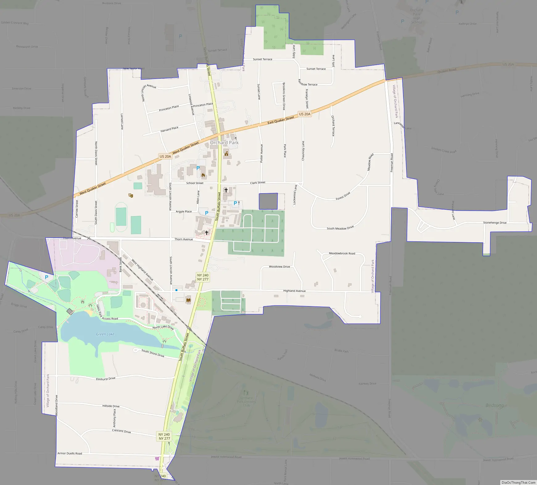
Online Interactive Map
Click on ![]() to view map in "full screen" mode.
to view map in "full screen" mode.
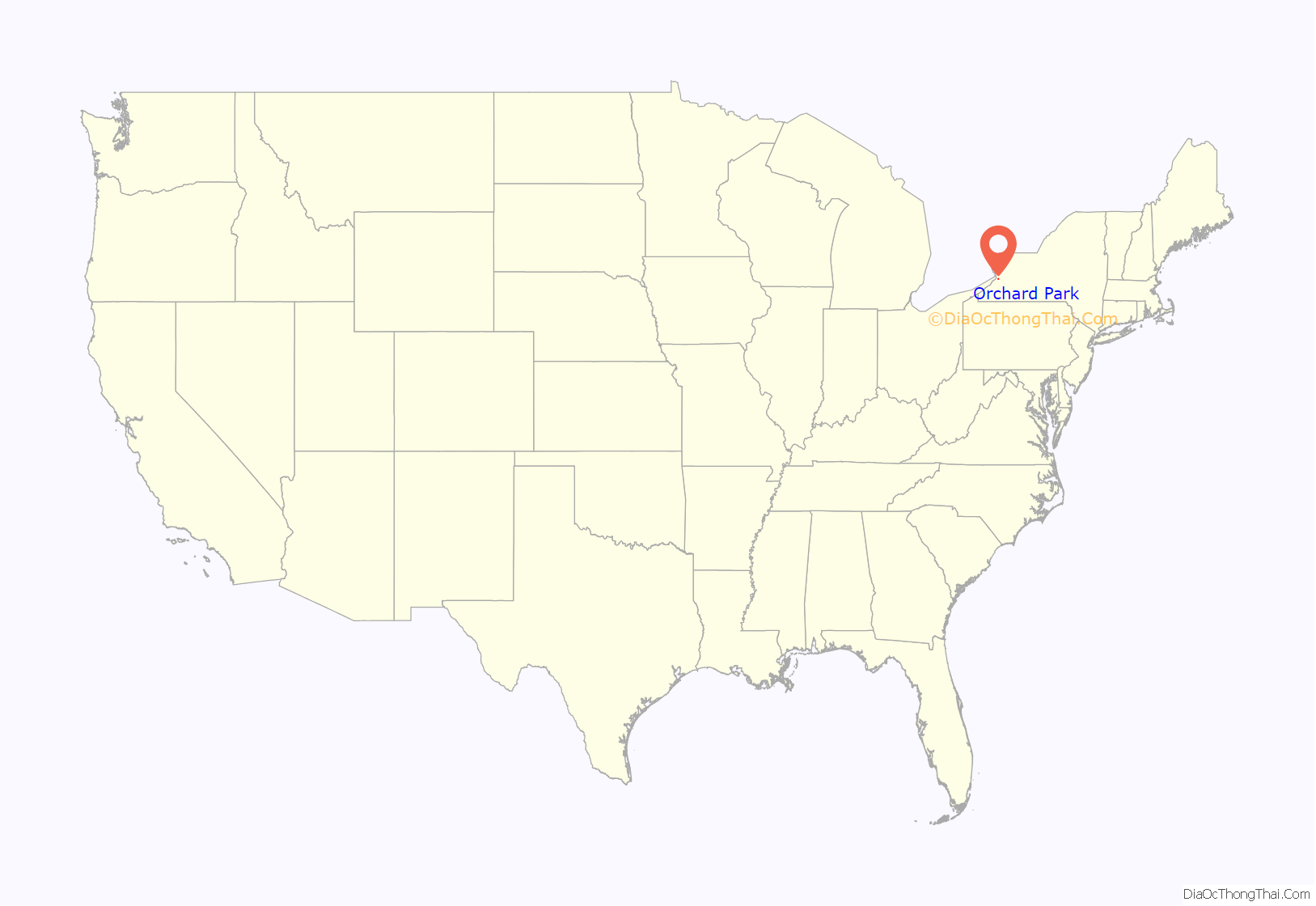
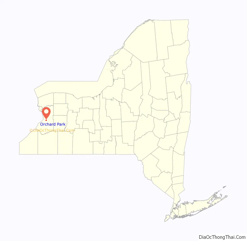
Orchard Park location map. Where is Orchard Park village?
History
Orchard Park was started by Quaker settlers in 1803. The village, formerly called “Potters Corners”, was incorporated in 1921. The name change to “Orchard Park” was suggested by a local schoolteacher. Several years later, the town also changed its name from “East Hamburg” to “Orchard Park”, after the village.
Orchard Park was a stop on the Underground Railroad, as fugitive slaves stopped over at Quaker-run homes on their way north to Black Rock in Buffalo from Collins.
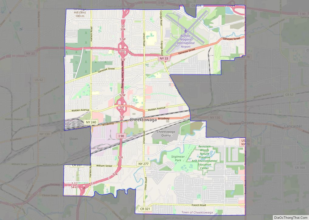
Orchard Park Road Map
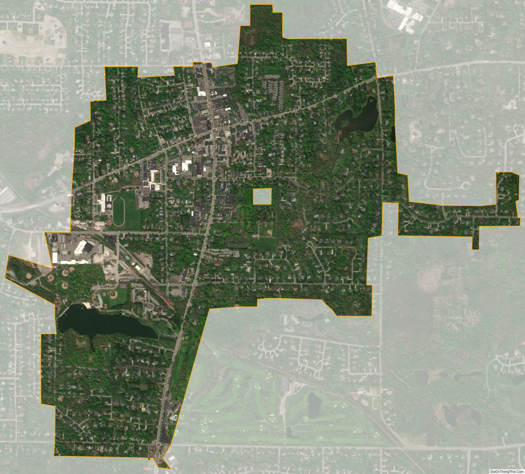
Orchard Park city Satellite Map
Geography
Orchard Park is located at 42°45′43″N 78°44′29″W / 42.76194°N 78.74139°W / 42.76194; -78.74139 (42.762159, -78.741405).
According to the United States Census Bureau, the village has a total area of 1.4 square miles (3.6 km), of which 1.3 square miles (3.4 km) is land and 0.04 square miles (0.10 km) (2.88%) is water.
Green Lake is a small artificial lake within the village.
U.S. Route 20A (Quaker Street) passes through the village, intersecting with New York State Route 240/New York State Route 277. At this intersection the street name of Route 277 changes from Orchard Park Road (which leads toward the city) to N/S Buffalo Street (which leads into the village). This causes people in the village to refer to Route 277 as Buffalo Street and people that aren’t from the village to call it Orchard Park Road. This intersection is known locally as the “Four Corners” and is the center of the village.
See also
Map of New York State and its subdivision:- Albany
- Allegany
- Bronx
- Broome
- Cattaraugus
- Cayuga
- Chautauqua
- Chemung
- Chenango
- Clinton
- Columbia
- Cortland
- Delaware
- Dutchess
- Erie
- Essex
- Franklin
- Fulton
- Genesee
- Greene
- Hamilton
- Herkimer
- Jefferson
- Kings
- Lake Ontario
- Lewis
- Livingston
- Madison
- Monroe
- Montgomery
- Nassau
- New York
- Niagara
- Oneida
- Onondaga
- Ontario
- Orange
- Orleans
- Oswego
- Otsego
- Putnam
- Queens
- Rensselaer
- Richmond
- Rockland
- Saint Lawrence
- Saratoga
- Schenectady
- Schoharie
- Schuyler
- Seneca
- Steuben
- Suffolk
- Sullivan
- Tioga
- Tompkins
- Ulster
- Warren
- Washington
- Wayne
- Westchester
- Wyoming
- Yates
- Alabama
- Alaska
- Arizona
- Arkansas
- California
- Colorado
- Connecticut
- Delaware
- District of Columbia
- Florida
- Georgia
- Hawaii
- Idaho
- Illinois
- Indiana
- Iowa
- Kansas
- Kentucky
- Louisiana
- Maine
- Maryland
- Massachusetts
- Michigan
- Minnesota
- Mississippi
- Missouri
- Montana
- Nebraska
- Nevada
- New Hampshire
- New Jersey
- New Mexico
- New York
- North Carolina
- North Dakota
- Ohio
- Oklahoma
- Oregon
- Pennsylvania
- Rhode Island
- South Carolina
- South Dakota
- Tennessee
- Texas
- Utah
- Vermont
- Virginia
- Washington
- West Virginia
- Wisconsin
- Wyoming