Oxbow is a hamlet and census-designated place (CDP) in the town of Antwerp, Jefferson County, New York, United States. As of the 2010 census it had a population of 108.
| Name: | Oxbow CDP |
|---|---|
| LSAD Code: | 57 |
| LSAD Description: | CDP (suffix) |
| State: | New York |
| County: | Jefferson County |
| Elevation: | 351 ft (107 m) |
| Total Area: | 0.42 sq mi (1.08 km²) |
| Land Area: | 0.40 sq mi (1.05 km²) |
| Water Area: | 0.01 sq mi (0.03 km²) |
| Total Population: | 85 |
| Population Density: | 210.40/sq mi (81.30/km²) |
| Area code: | 315 |
| FIPS code: | 3655937 |
| GNISfeature ID: | 0959708 |
Online Interactive Map
Click on ![]() to view map in "full screen" mode.
to view map in "full screen" mode.
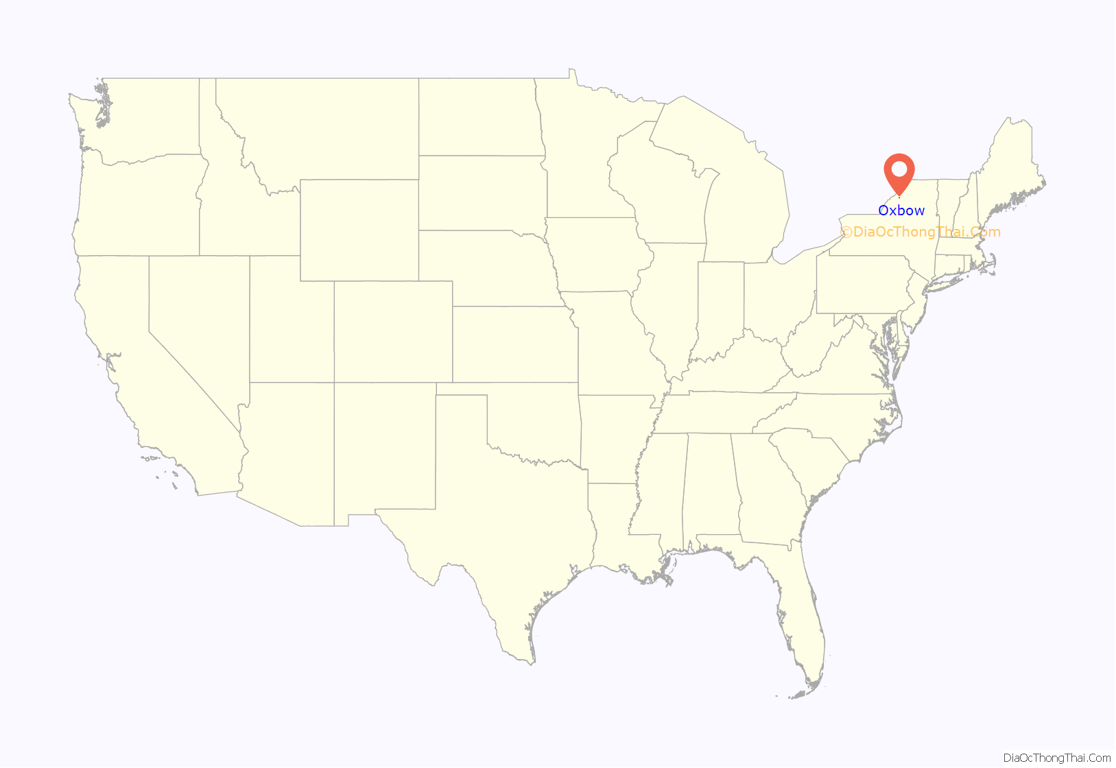
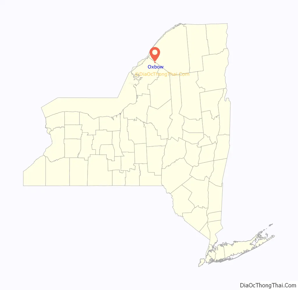
Oxbow location map. Where is Oxbow CDP?
History
It was founded in 1817 by Abraham Cooper, an ancestor of Ambassador Charles W. Yost. Located at Oxbow is the Dr. Abner Benton House (1819), listed on the National Register of Historic Places in 1984.
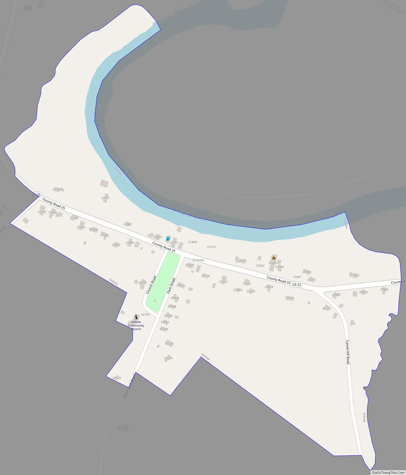
Oxbow Road Map
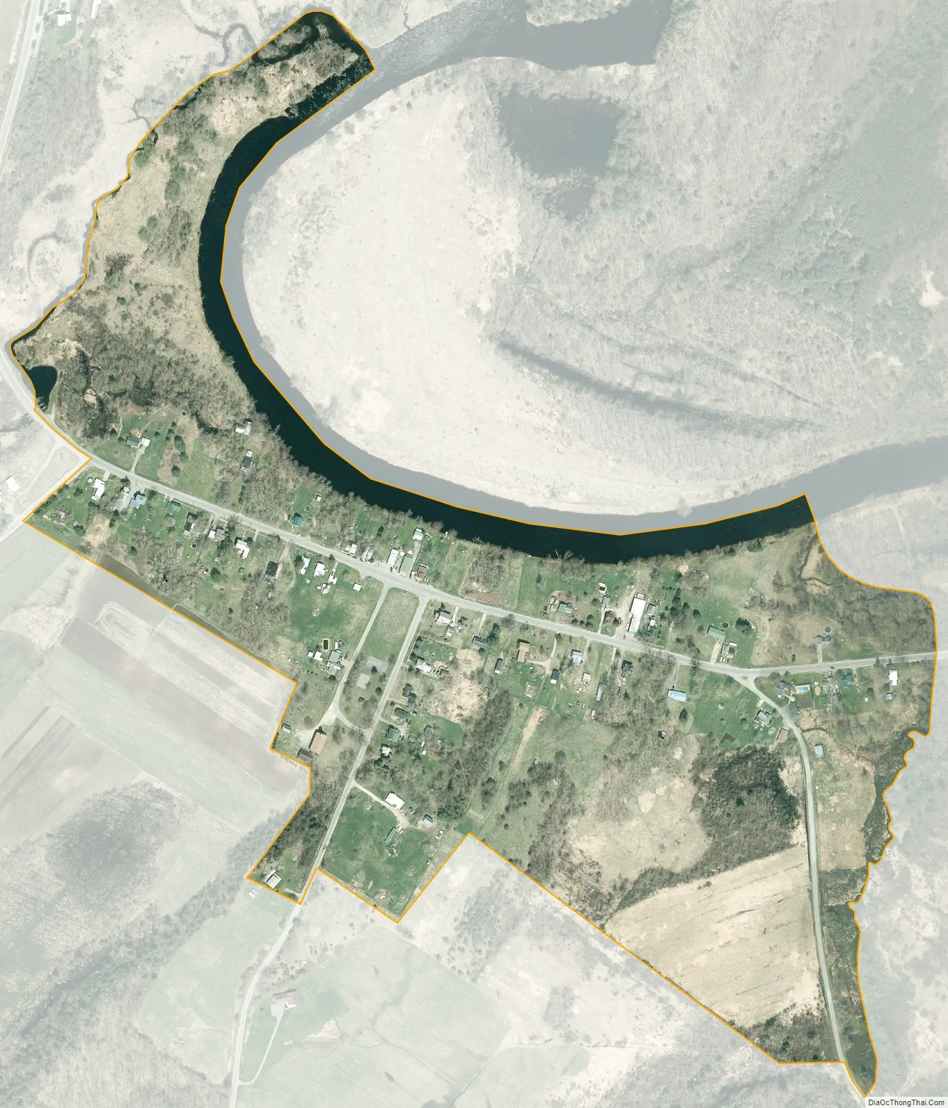
Oxbow city Satellite Map
Geography
Oxbow is in northern Jefferson County, in the northern part of the town of Antwerp. It sits at the south end of a sharp bend in the Oswegatchie River at an altitude of 351 feet (107 m). According to the United States Census Bureau, the CDP has a total area of 0.20 square miles (0.52 km), all land.
Oxbow is 29 miles (47 km) northeast of Watertown, the Jefferson county seat, and 9 miles (14 km) southwest of Gouverneur.
See also
Map of New York State and its subdivision:- Albany
- Allegany
- Bronx
- Broome
- Cattaraugus
- Cayuga
- Chautauqua
- Chemung
- Chenango
- Clinton
- Columbia
- Cortland
- Delaware
- Dutchess
- Erie
- Essex
- Franklin
- Fulton
- Genesee
- Greene
- Hamilton
- Herkimer
- Jefferson
- Kings
- Lake Ontario
- Lewis
- Livingston
- Madison
- Monroe
- Montgomery
- Nassau
- New York
- Niagara
- Oneida
- Onondaga
- Ontario
- Orange
- Orleans
- Oswego
- Otsego
- Putnam
- Queens
- Rensselaer
- Richmond
- Rockland
- Saint Lawrence
- Saratoga
- Schenectady
- Schoharie
- Schuyler
- Seneca
- Steuben
- Suffolk
- Sullivan
- Tioga
- Tompkins
- Ulster
- Warren
- Washington
- Wayne
- Westchester
- Wyoming
- Yates
- Alabama
- Alaska
- Arizona
- Arkansas
- California
- Colorado
- Connecticut
- Delaware
- District of Columbia
- Florida
- Georgia
- Hawaii
- Idaho
- Illinois
- Indiana
- Iowa
- Kansas
- Kentucky
- Louisiana
- Maine
- Maryland
- Massachusetts
- Michigan
- Minnesota
- Mississippi
- Missouri
- Montana
- Nebraska
- Nevada
- New Hampshire
- New Jersey
- New Mexico
- New York
- North Carolina
- North Dakota
- Ohio
- Oklahoma
- Oregon
- Pennsylvania
- Rhode Island
- South Carolina
- South Dakota
- Tennessee
- Texas
- Utah
- Vermont
- Virginia
- Washington
- West Virginia
- Wisconsin
- Wyoming


