Pamelia Center is a hamlet and census-designated place (CDP) in Jefferson County, New York, United States. Its population was 264 as of the 2010 census. The community is located at the junction of New York State Route 37 and New York State Route 342.
| Name: | Pamelia Center CDP |
|---|---|
| LSAD Code: | 57 |
| LSAD Description: | CDP (suffix) |
| State: | New York |
| County: | Jefferson County |
| Elevation: | 469 ft (143 m) |
| Total Area: | 1.40 sq mi (3.62 km²) |
| Land Area: | 1.40 sq mi (3.62 km²) |
| Water Area: | 0.00 sq mi (0.00 km²) |
| Total Population: | 471 |
| Population Density: | 336.67/sq mi (129.97/km²) |
| ZIP code: | 13637 (Pamelia) |
| Area code: | 315 & 680 |
| FIPS code: | 3656212 |
| GNISfeature ID: | 959803 |
Online Interactive Map
Click on ![]() to view map in "full screen" mode.
to view map in "full screen" mode.
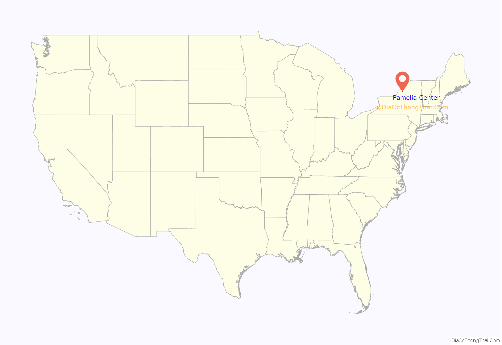
Pamelia Center location map. Where is Pamelia Center CDP?
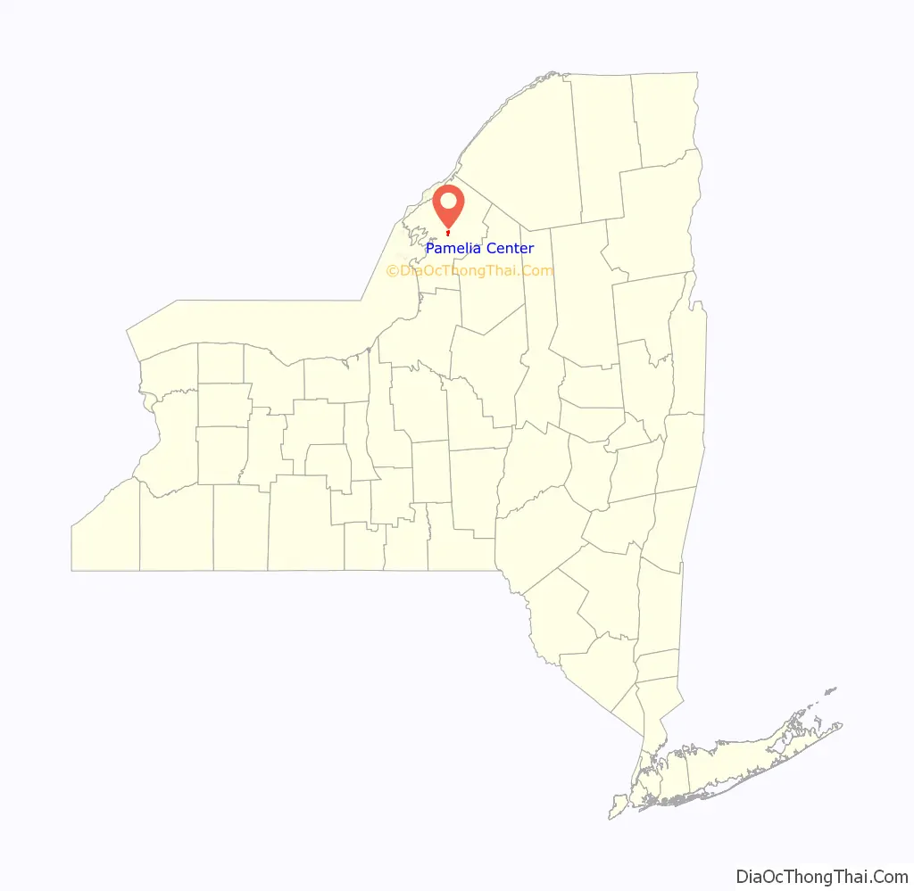
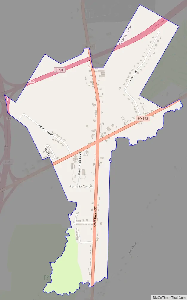
Pamelia Center Road Map
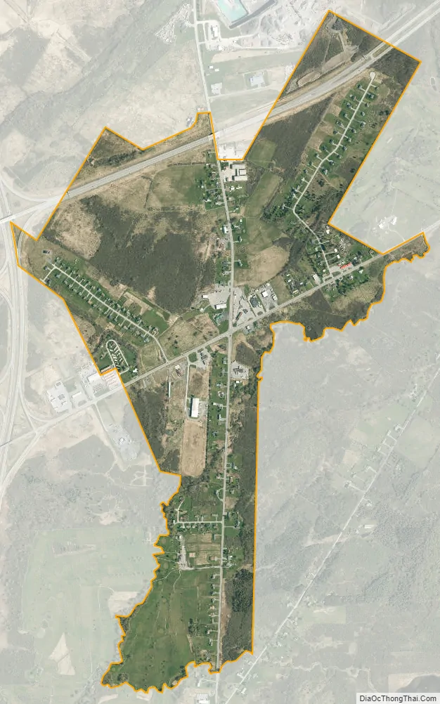
Pamelia Center city Satellite Map
Geography
Pamelia Center is in central Jefferson County in the town of Pamelia. Interstate 81 runs along the western edge of the community, with access from Exit 48 (NY 342), and Interstate 781 runs through the northern part, with access from I-81 only. I-81 leads south 5 miles (8 km) to Watertown, the county seat, and north 25 miles (40 km) to the Canada–United States border at the St. Lawrence River. I-781 leads east 5 miles (8 km) to Fort Drum.
According to the U.S. Census Bureau, the CDP has an area of 1.041 square miles (2.70 km), all land.
See also
Map of New York State and its subdivision:- Albany
- Allegany
- Bronx
- Broome
- Cattaraugus
- Cayuga
- Chautauqua
- Chemung
- Chenango
- Clinton
- Columbia
- Cortland
- Delaware
- Dutchess
- Erie
- Essex
- Franklin
- Fulton
- Genesee
- Greene
- Hamilton
- Herkimer
- Jefferson
- Kings
- Lake Ontario
- Lewis
- Livingston
- Madison
- Monroe
- Montgomery
- Nassau
- New York
- Niagara
- Oneida
- Onondaga
- Ontario
- Orange
- Orleans
- Oswego
- Otsego
- Putnam
- Queens
- Rensselaer
- Richmond
- Rockland
- Saint Lawrence
- Saratoga
- Schenectady
- Schoharie
- Schuyler
- Seneca
- Steuben
- Suffolk
- Sullivan
- Tioga
- Tompkins
- Ulster
- Warren
- Washington
- Wayne
- Westchester
- Wyoming
- Yates
- Alabama
- Alaska
- Arizona
- Arkansas
- California
- Colorado
- Connecticut
- Delaware
- District of Columbia
- Florida
- Georgia
- Hawaii
- Idaho
- Illinois
- Indiana
- Iowa
- Kansas
- Kentucky
- Louisiana
- Maine
- Maryland
- Massachusetts
- Michigan
- Minnesota
- Mississippi
- Missouri
- Montana
- Nebraska
- Nevada
- New Hampshire
- New Jersey
- New Mexico
- New York
- North Carolina
- North Dakota
- Ohio
- Oklahoma
- Oregon
- Pennsylvania
- Rhode Island
- South Carolina
- South Dakota
- Tennessee
- Texas
- Utah
- Vermont
- Virginia
- Washington
- West Virginia
- Wisconsin
- Wyoming


