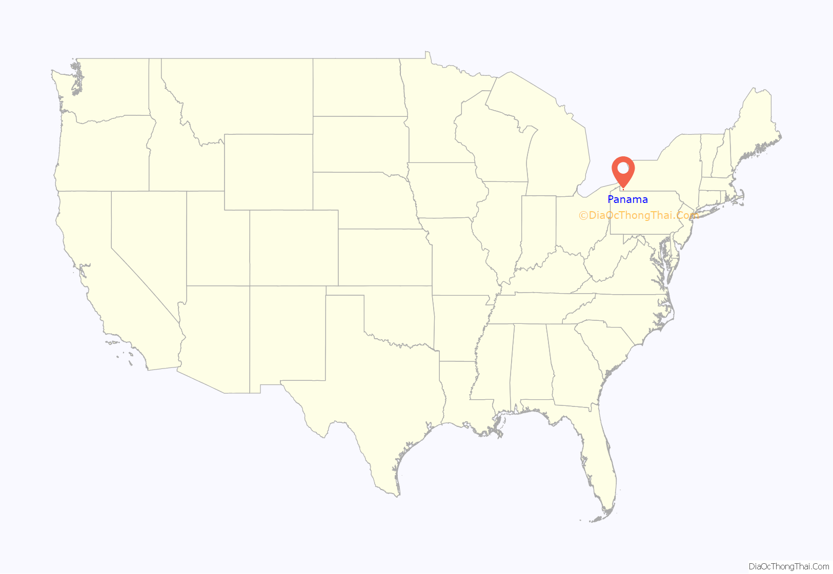
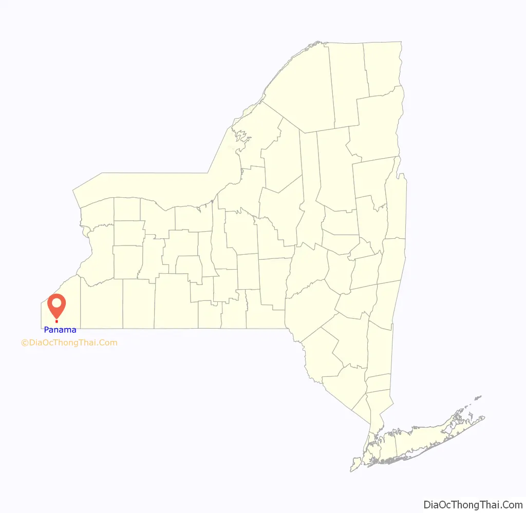
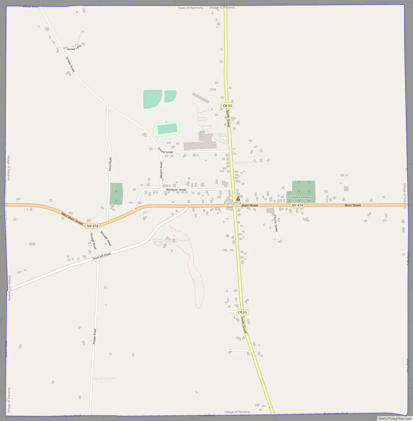
Panama is a village in Chautauqua County, New York, United States. The population was 465 at the 2020 census. Panama is in the northwest part of the town of Harmony, at the junction of State Route 474 (Main Street) and County Route 33.
The village is named after Panama Rocks, a large rock formation south of the village. Paleozoic fossils are visible in the outcrops. This site has become a tourist attraction, and the owners charge admission at the gate.
| Name: | Panama village |
|---|---|
| LSAD Code: | 47 |
| LSAD Description: | village (suffix) |
| State: | New York |
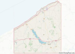
| County: | Chautauqua County |
| Elevation: | 1,552 ft (473 m) |
| Total Area: | 2.21 sq mi (5.74 km²) |
| Land Area: | 2.21 sq mi (5.72 km²) |
| Water Area: | 0.01 sq mi (0.02 km²) |
| Total Population: | 475 |
| Population Density: | 215.03/sq mi (83.04/km²) |
| ZIP code: | 14767 |
| Area code: | 716 |
| FIPS code: | 3656231 |
| GNISfeature ID: | 0959806 |
| Website: | www.panamany.org |
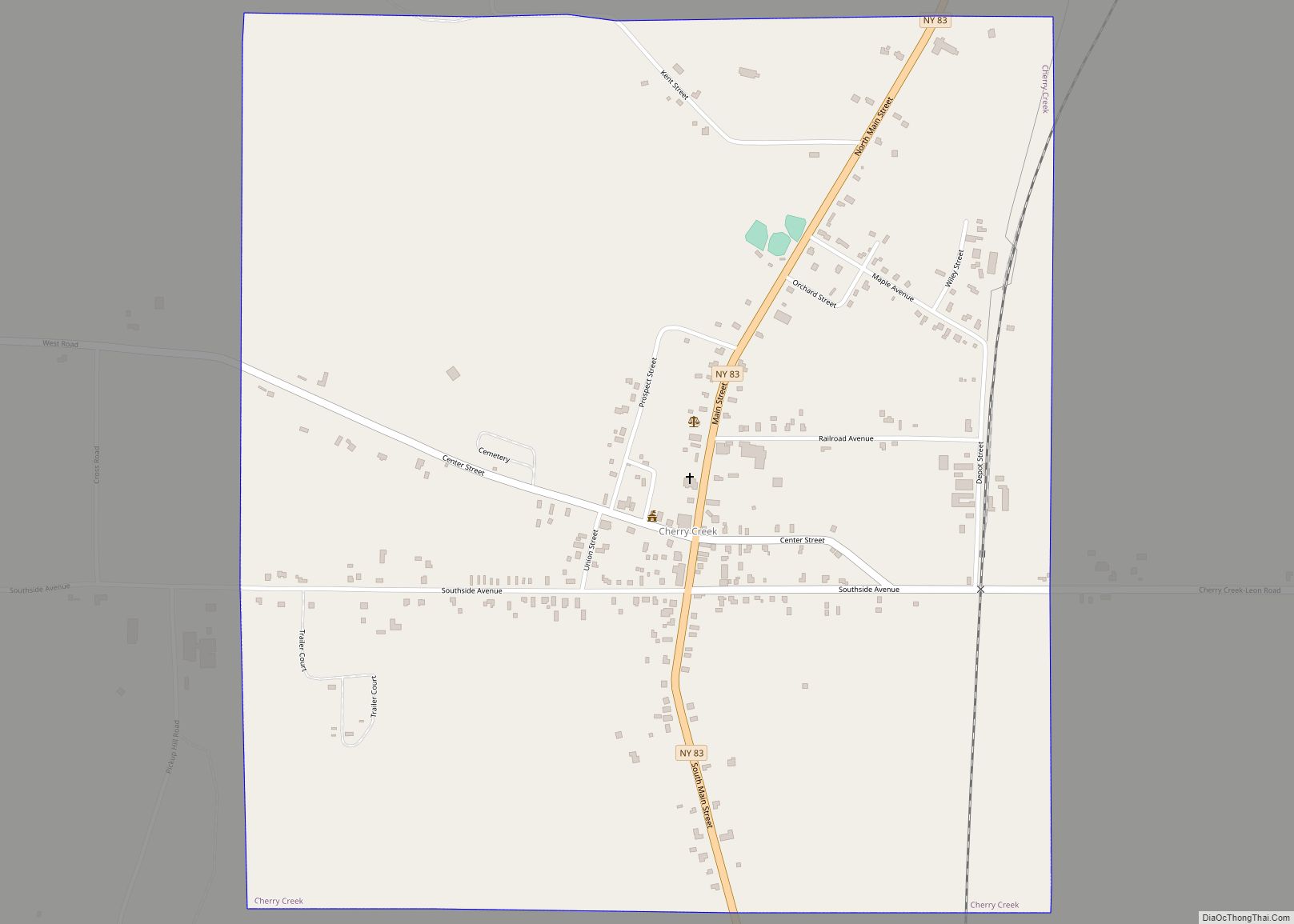
Online Interactive Map
Click on ![]() to view map in "full screen" mode.
to view map in "full screen" mode.
Panama location map. Where is Panama village?
History
The village of Panama was incorporated in 1861.
Among many early settlers was George Hawkins, who purchased Lot 50 in 1825. He was born in 1802 in Oneida County, New York. About 1827 he married Rhoda Powers (born 1806). Together they cleared land to make a living. George died in 1883 and Rhoda in 1900. Rhoda’s father was Simeon Powers, who established a Baptist church in the area. George’s parents are unknown. Both are buried in Panama Union cemetery under one headstone.
The U.S. Post Office at Panama was established in 1826. That was the first, officially recorded, use of the name “Panama”. The traditional story is that Panama got its name from someone who had been across the Isthmus of Panama, and said local rock formations reminded him of Panama’s rocks. It is possible that this person was Moses Cushman Marsh, who operated a trading company in Panama, and was Panama’s first postmaster. He had previously had a business in Cuba, and he may have been across the Isthmus of Panama.
Panama Road Map
Panama city Satellite Map
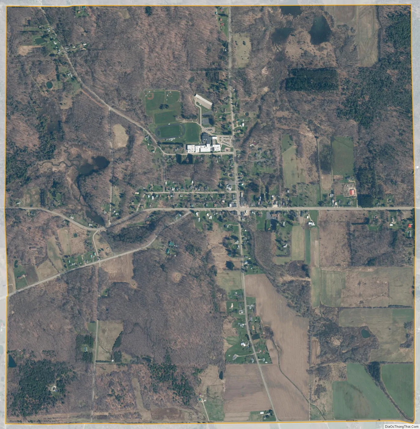
Geography
According to the United States Census Bureau, the village has a total area of 2.2 square miles (5.7 km), of which 0.008 square miles (0.02 km), or 0.27%, is water.
See also
Map of New York State and its subdivision:- Albany
- Allegany
- Bronx
- Broome
- Cattaraugus
- Cayuga
- Chautauqua
- Chemung
- Chenango
- Clinton
- Columbia
- Cortland
- Delaware
- Dutchess
- Erie
- Essex
- Franklin
- Fulton
- Genesee
- Greene
- Hamilton
- Herkimer
- Jefferson
- Kings
- Lake Ontario
- Lewis
- Livingston
- Madison
- Monroe
- Montgomery
- Nassau
- New York
- Niagara
- Oneida
- Onondaga
- Ontario
- Orange
- Orleans
- Oswego
- Otsego
- Putnam
- Queens
- Rensselaer
- Richmond
- Rockland
- Saint Lawrence
- Saratoga
- Schenectady
- Schoharie
- Schuyler
- Seneca
- Steuben
- Suffolk
- Sullivan
- Tioga
- Tompkins
- Ulster
- Warren
- Washington
- Wayne
- Westchester
- Wyoming
- Yates
- Alabama
- Alaska
- Arizona
- Arkansas
- California
- Colorado
- Connecticut
- Delaware
- District of Columbia
- Florida
- Georgia
- Hawaii
- Idaho
- Illinois
- Indiana
- Iowa
- Kansas
- Kentucky
- Louisiana
- Maine
- Maryland
- Massachusetts
- Michigan
- Minnesota
- Mississippi
- Missouri
- Montana
- Nebraska
- Nevada
- New Hampshire
- New Jersey
- New Mexico
- New York
- North Carolina
- North Dakota
- Ohio
- Oklahoma
- Oregon
- Pennsylvania
- Rhode Island
- South Carolina
- South Dakota
- Tennessee
- Texas
- Utah
- Vermont
- Virginia
- Washington
- West Virginia
- Wisconsin
- Wyoming