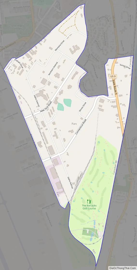
Parc is a location and census-designated place in Clinton County, New York, United States. The name “Parc” is derived from the official name for the 3,447-acre (13.95 km) industrial site, which is PARC, an acronym for the Plattsburgh Airbase Redevelopment Corporation. PARC was established for the purpose of redeveloping the Plattsburgh Air Force Base after it closed on September 25, 1995. PARC is now operated by the Plattsburgh Air Base Development Authority, and the massive airfield is now Plattsburgh International Airport. The population of the Parc CDP was 254 at the 2010 census. Parc is located in the town of Plattsburgh and is bordered to the north by the city of Plattsburgh.
| Name: | Parc CDP |
|---|---|
| LSAD Code: | 57 |
| LSAD Description: | CDP (suffix) |
| State: | New York |
| County: | Clinton County |
| Elevation: | 180 ft (55 m) |
| Total Area: | 1.23 sq mi (3.19 km²) |
| Land Area: | 1.23 sq mi (3.19 km²) |
| Water Area: | 0.00 sq mi (0.00 km²) |
| Total Population: | 197 |
| Population Density: | 160.03/sq mi (61.77/km²) |
| FIPS code: | 3656291 |
| GNISfeature ID: | 1852909 |
Online Interactive Map
Click on ![]() to view map in "full screen" mode.
to view map in "full screen" mode.
Parc location map. Where is Parc CDP?
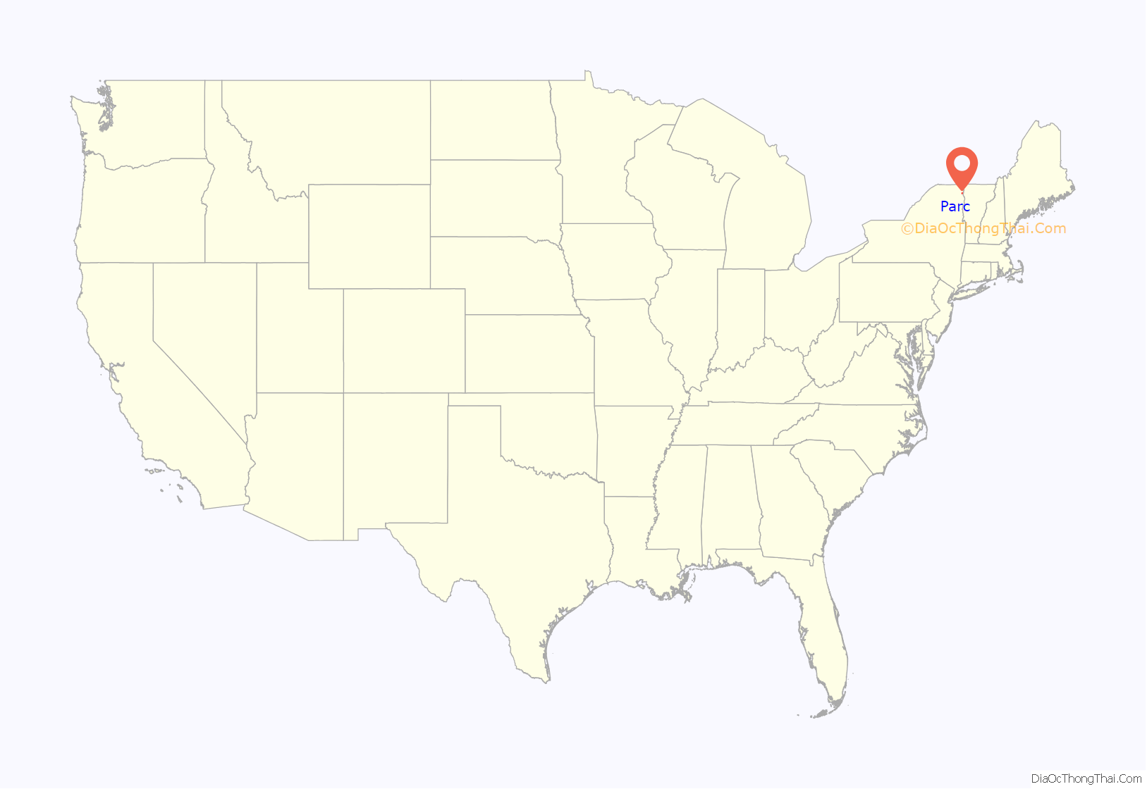
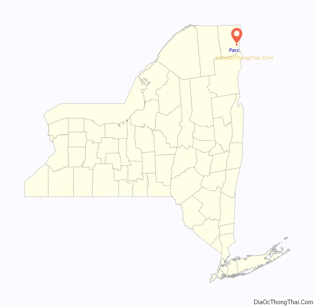
Parc Road Map
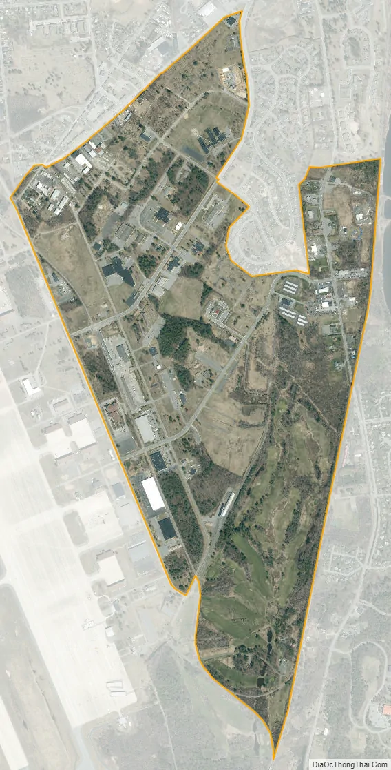
Parc city Satellite Map
Geography
Parc is located in eastern Clinton County at 44°40′07″N 73°27′17″W / 44.66861°N 73.45472°W / 44.66861; -73.45472 (44.668549, -73.454735). It lies just west of Lake Champlain but does not border the lake.
According to the United States Census Bureau, the CDP has a total area of 1.2 square miles (3.2 km), all land.
See also
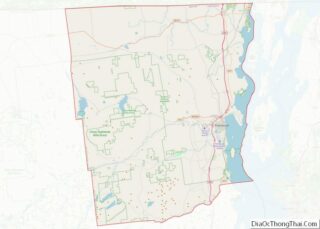
Map of New York State and its subdivision:- Albany
- Allegany
- Bronx
- Broome
- Cattaraugus
- Cayuga
- Chautauqua
- Chemung
- Chenango
- Clinton
- Columbia
- Cortland
- Delaware
- Dutchess
- Erie
- Essex
- Franklin
- Fulton
- Genesee
- Greene
- Hamilton
- Herkimer
- Jefferson
- Kings
- Lake Ontario
- Lewis
- Livingston
- Madison
- Monroe
- Montgomery
- Nassau
- New York
- Niagara
- Oneida
- Onondaga
- Ontario
- Orange
- Orleans
- Oswego
- Otsego
- Putnam
- Queens
- Rensselaer
- Richmond
- Rockland
- Saint Lawrence
- Saratoga
- Schenectady
- Schoharie
- Schuyler
- Seneca
- Steuben
- Suffolk
- Sullivan
- Tioga
- Tompkins
- Ulster
- Warren
- Washington
- Wayne
- Westchester
- Wyoming
- Yates
- Alabama
- Alaska
- Arizona
- Arkansas
- California
- Colorado
- Connecticut
- Delaware
- District of Columbia
- Florida
- Georgia
- Hawaii
- Idaho
- Illinois
- Indiana
- Iowa
- Kansas
- Kentucky
- Louisiana
- Maine
- Maryland
- Massachusetts
- Michigan
- Minnesota
- Mississippi
- Missouri
- Montana
- Nebraska
- Nevada
- New Hampshire
- New Jersey
- New Mexico
- New York
- North Carolina
- North Dakota
- Ohio
- Oklahoma
- Oregon
- Pennsylvania
- Rhode Island
- South Carolina
- South Dakota
- Tennessee
- Texas
- Utah
- Vermont
- Virginia
- Washington
- West Virginia
- Wisconsin
- Wyoming