Pavilion is a hamlet and census-designated place within the town of Pavilion in Genesee County, New York, United States. As of the 2010 census, the population of the CDP was 646, out of a total of 2,495 people in the town as a whole.
| Name: | Pavilion CDP |
|---|---|
| LSAD Code: | 57 |
| LSAD Description: | CDP (suffix) |
| State: | New York |
| County: | Genesee County |
| Elevation: | 955 ft (291 m) |
| Total Area: | 3.77 sq mi (9.75 km²) |
| Land Area: | 3.77 sq mi (9.75 km²) |
| Water Area: | 0.00 sq mi (0.00 km²) |
| Total Population: | 664 |
| Population Density: | 176.31/sq mi (68.08/km²) |
| ZIP code: | 14525 |
| Area code: | 585 |
| FIPS code: | 3656781 |
| GNISfeature ID: | 2628177 |
Online Interactive Map
Click on ![]() to view map in "full screen" mode.
to view map in "full screen" mode.
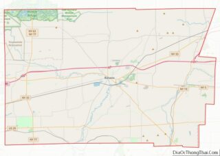
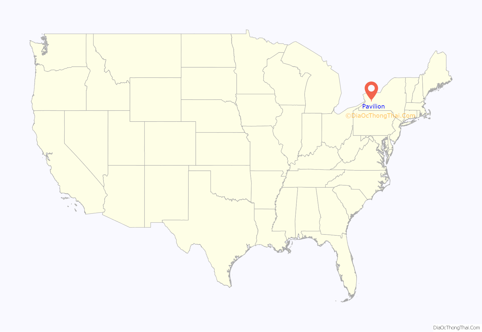
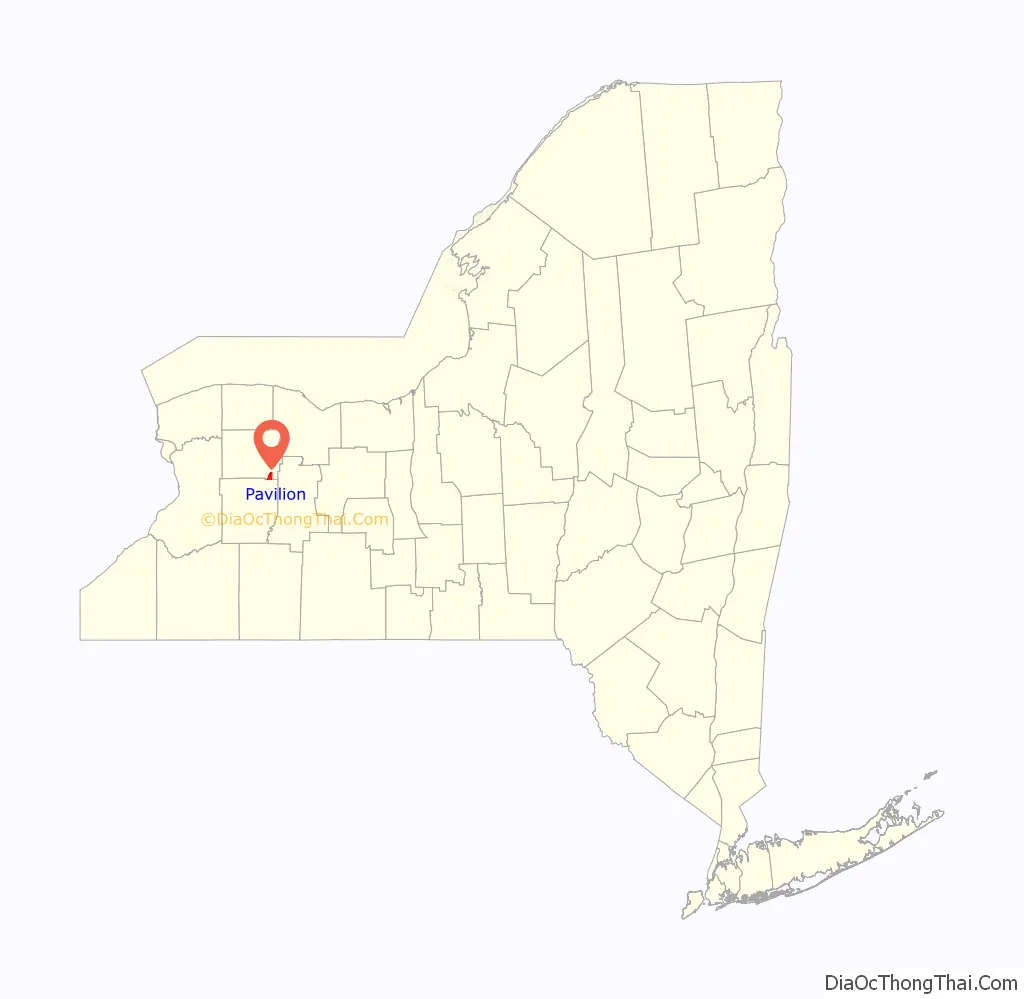
Pavilion location map. Where is Pavilion CDP?
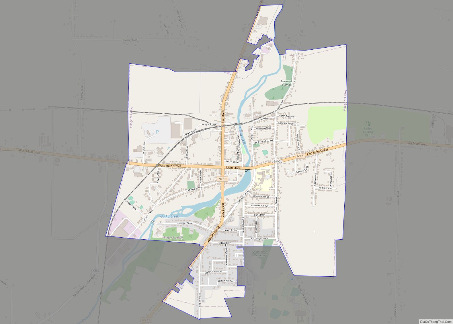
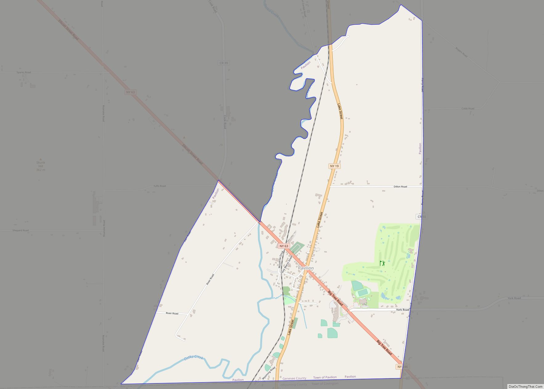
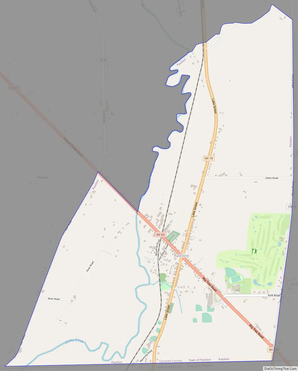
Pavilion Road Map
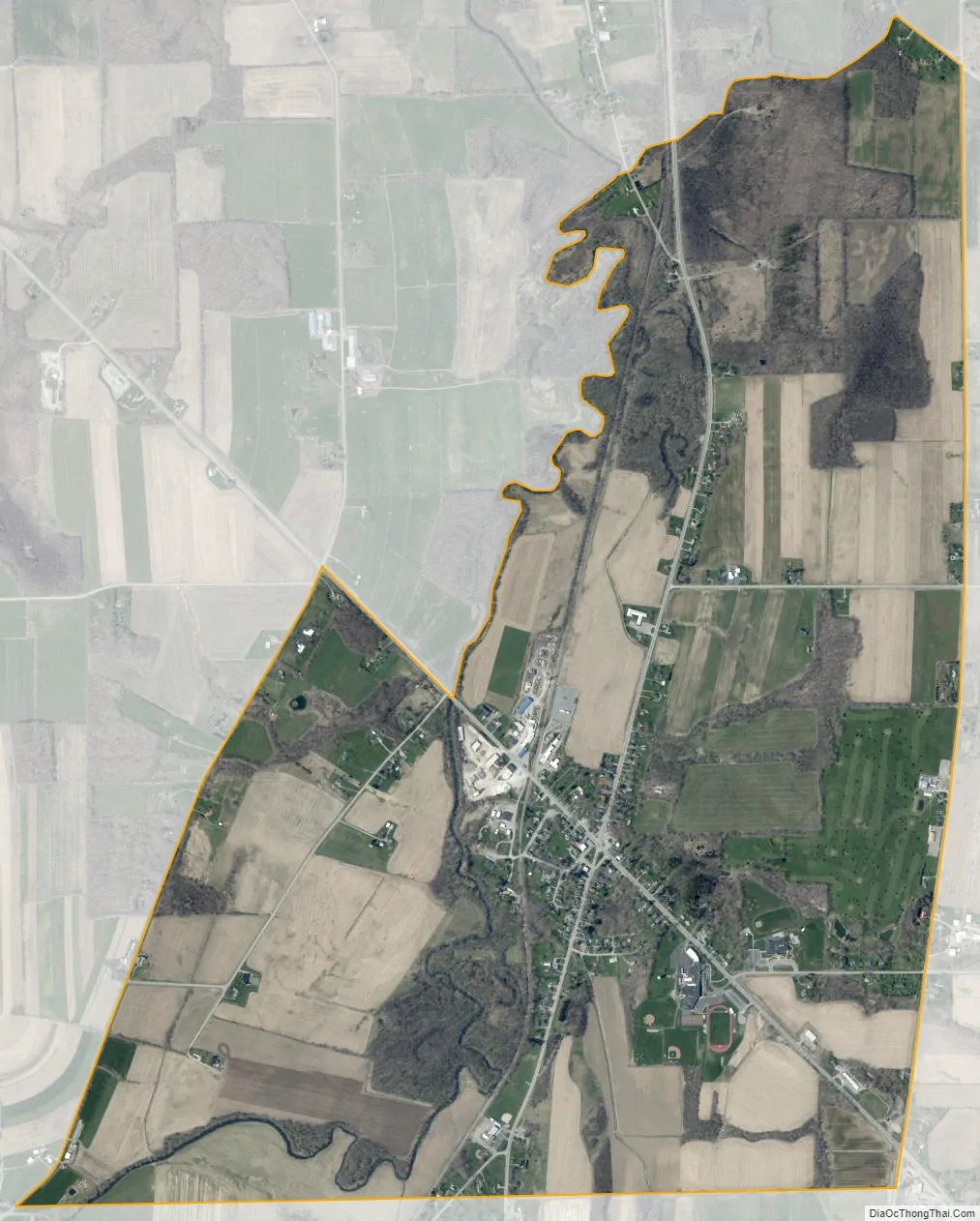
Pavilion city Satellite Map
Geography
The hamlet is in southeastern Genesee County in the southern part of the town of Pavilion, at the intersection of New York State Routes 19 and 63. NY 19 (Lake Street) leads north 7 miles (11 km) to Le Roy and southwest 12 miles (19 km) to Warsaw, while NY 63 leads northwest 12 miles (19 km) to Batavia, the county seat, and southeast 13 miles (21 km) to Geneseo. The southern edge of the CDP follows the Genesee County/Wyoming County line.
According to the United States Census Bureau, Pavilion CDP has a total area of 3.3 square miles (8.6 km), all land. Oatka Creek, a tributary of the Genesee River, flows northward through the western side of the CDP.
See also
Map of New York State and its subdivision:- Albany
- Allegany
- Bronx
- Broome
- Cattaraugus
- Cayuga
- Chautauqua
- Chemung
- Chenango
- Clinton
- Columbia
- Cortland
- Delaware
- Dutchess
- Erie
- Essex
- Franklin
- Fulton
- Genesee
- Greene
- Hamilton
- Herkimer
- Jefferson
- Kings
- Lake Ontario
- Lewis
- Livingston
- Madison
- Monroe
- Montgomery
- Nassau
- New York
- Niagara
- Oneida
- Onondaga
- Ontario
- Orange
- Orleans
- Oswego
- Otsego
- Putnam
- Queens
- Rensselaer
- Richmond
- Rockland
- Saint Lawrence
- Saratoga
- Schenectady
- Schoharie
- Schuyler
- Seneca
- Steuben
- Suffolk
- Sullivan
- Tioga
- Tompkins
- Ulster
- Warren
- Washington
- Wayne
- Westchester
- Wyoming
- Yates
- Alabama
- Alaska
- Arizona
- Arkansas
- California
- Colorado
- Connecticut
- Delaware
- District of Columbia
- Florida
- Georgia
- Hawaii
- Idaho
- Illinois
- Indiana
- Iowa
- Kansas
- Kentucky
- Louisiana
- Maine
- Maryland
- Massachusetts
- Michigan
- Minnesota
- Mississippi
- Missouri
- Montana
- Nebraska
- Nevada
- New Hampshire
- New Jersey
- New Mexico
- New York
- North Carolina
- North Dakota
- Ohio
- Oklahoma
- Oregon
- Pennsylvania
- Rhode Island
- South Carolina
- South Dakota
- Tennessee
- Texas
- Utah
- Vermont
- Virginia
- Washington
- West Virginia
- Wisconsin
- Wyoming