Perrysburg is a hamlet, census-designated place, and former village in Cattaraugus County, New York, United States. The population was 401 at the 2010 census. It is named after Commodore Oliver Hazard Perry. The community is in the south-central part of the town of Perrysburg. The hamlet is west of Gowanda.
| Name: | Perrysburg CDP |
|---|---|
| LSAD Code: | 57 |
| LSAD Description: | CDP (suffix) |
| State: | New York |
| County: | Cattaraugus County |
| Incorporated: | 1916 |
| Elevation: | 1,322 ft (403 m) |
| Total Area: | 0.99 sq mi (2.56 km²) |
| Land Area: | 0.98 sq mi (2.55 km²) |
| Water Area: | 0.00 sq mi (0.01 km²) |
| Total Population: | 346 |
| Population Density: | 351.98/sq mi (135.90/km²) |
| ZIP code: | 14129 |
| Area code: | 716 |
| FIPS code: | 3657287 |
| GNISfeature ID: | 0960215 |
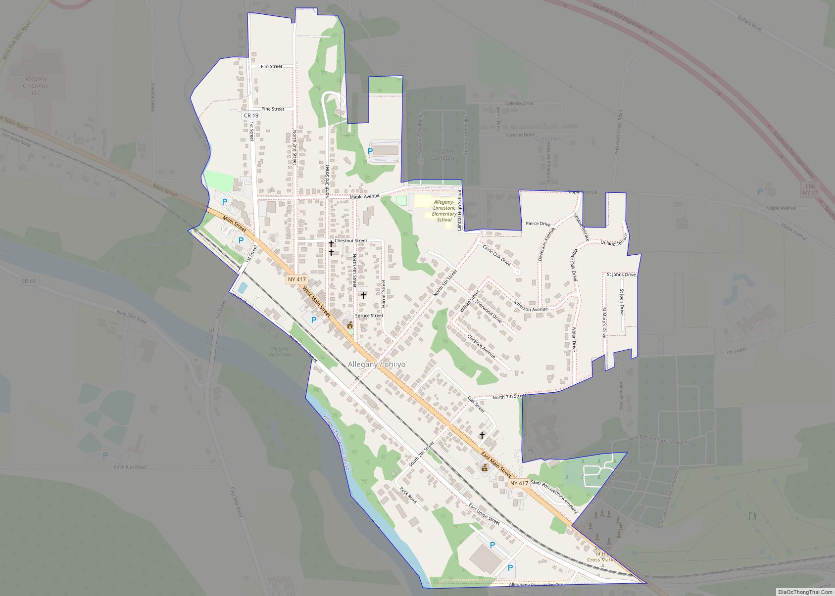
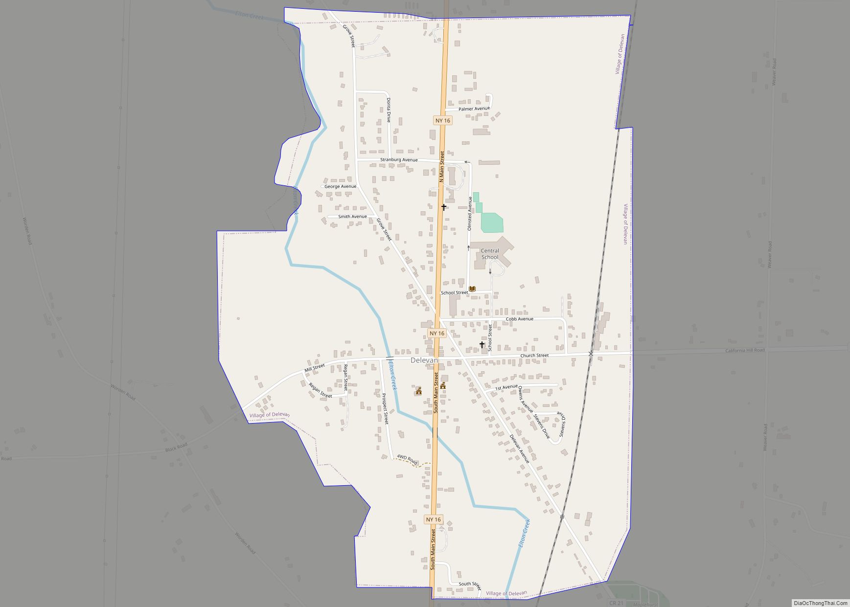
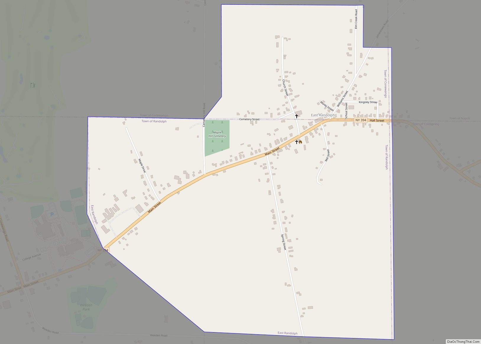
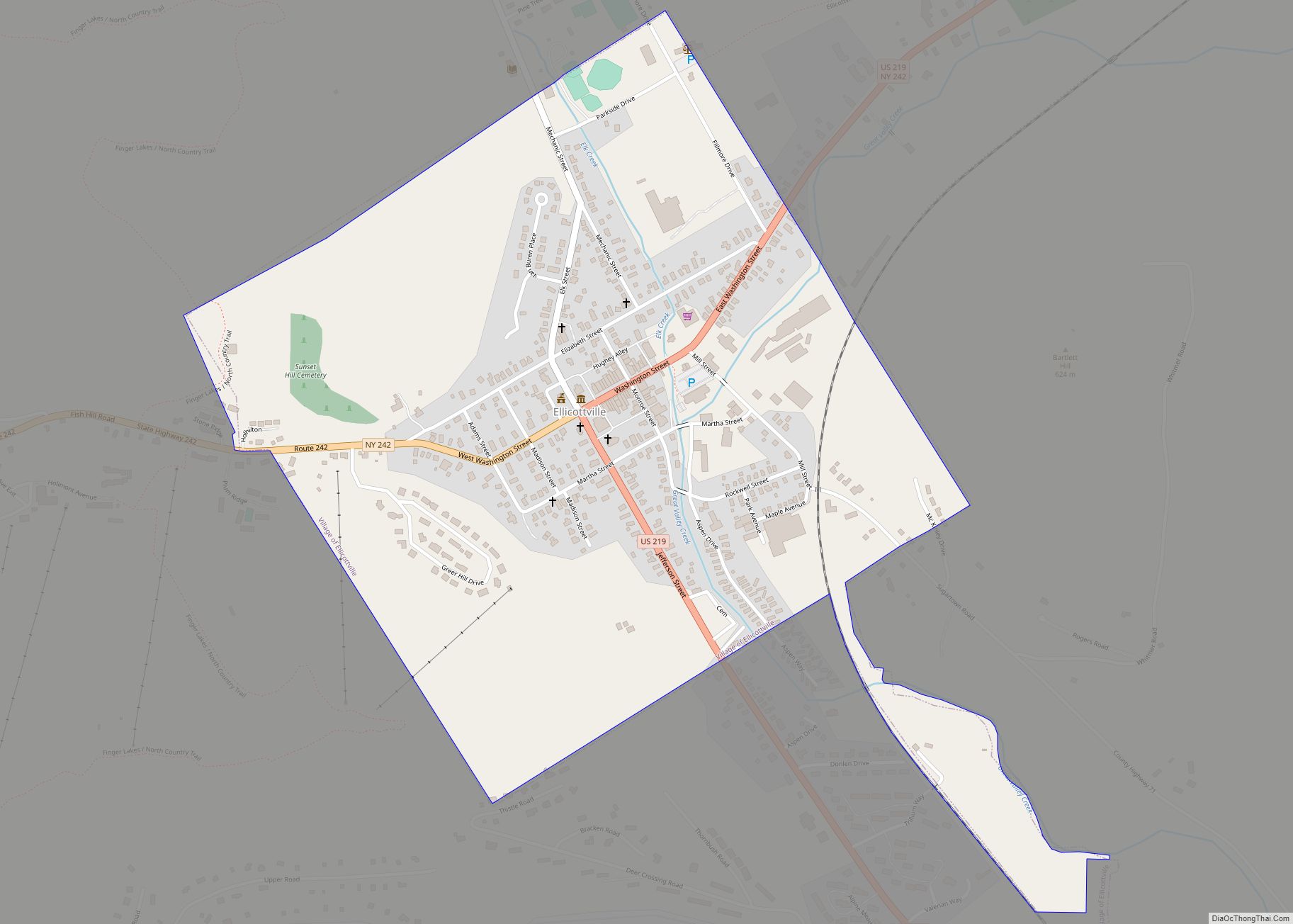
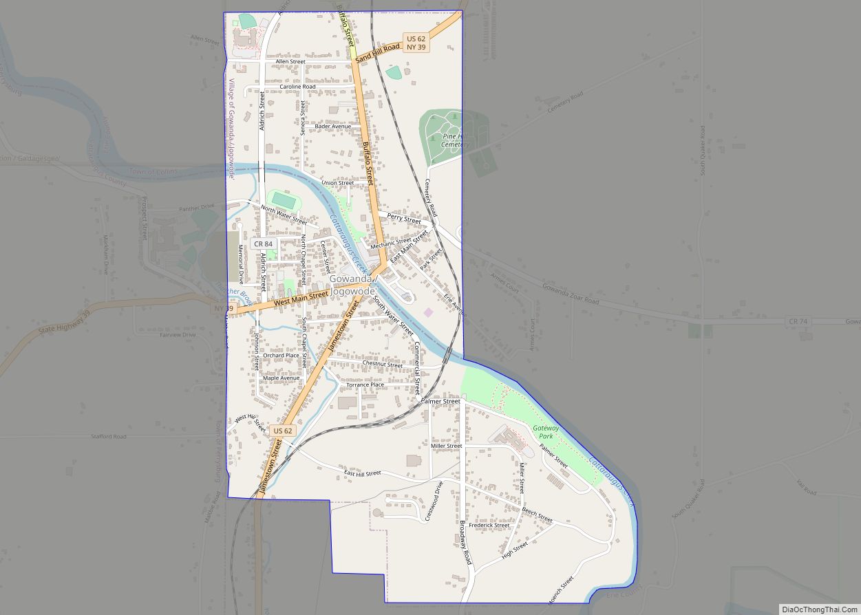
Online Interactive Map
Click on ![]() to view map in "full screen" mode.
to view map in "full screen" mode.
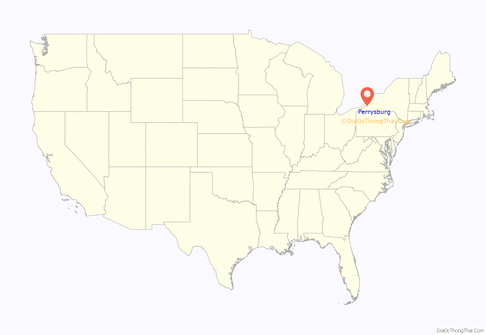
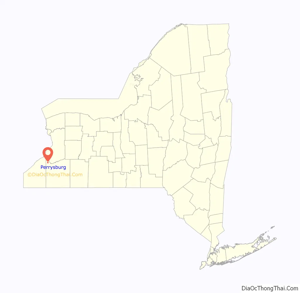
Perrysburg location map. Where is Perrysburg CDP?
History
A settlement has been located in the general area of the current village since the early 19th century. Early settlers included veterans of the War for American Independence and the War of 1812, who had used their pensions to buy farmland through the Holland Land Company. The village of Perrysburg was incorporated in 1916. Both the village and the town have been spelled “Perrysburgh” in the past.
By 1880, the population of the village of Perrysburg was about 400, with many more living in the surrounding town. It was also a station stop on the New York & Erie Railroad.
In 1910, the city of Buffalo, beset by the public scourge of tuberculosis, purchased almost 300 acres (1.2 km) of land adjacent to the village using proceeds from Mayor James Noble Adam’s personal fortune, for the purpose of establishing the Buffalo Municipal Hospital for Incipient Tuberculosis. The facility opened in 1912 and later became the J. N. Adam Memorial Hospital. The presence of the hospital led to a dramatic increase in the local population with the arrival of medical professionals, hospital workers and people visiting patients at the facility.
Since the hospital closed its doors, a popular local legend holds that a stained glass dome in the Hall Rotunda was salvaged from the Temple of Music at Buffalo’s Pan-American Exposition. However, a visual comparison between the surviving dome and this rendering shows no resemblance between the two.
On March 16, 2010, voters approved, by a 60-9 margin, a referendum to dissolve the village into the town of Perrysburg. The dissolution took effect at the end of 2011. Perrysburg joined Randolph, East Randolph and Limestone among Cattaraugus County villages that voted to dissolve within a six-month span, with all but Limestone having approved their dissolutions on March 16.
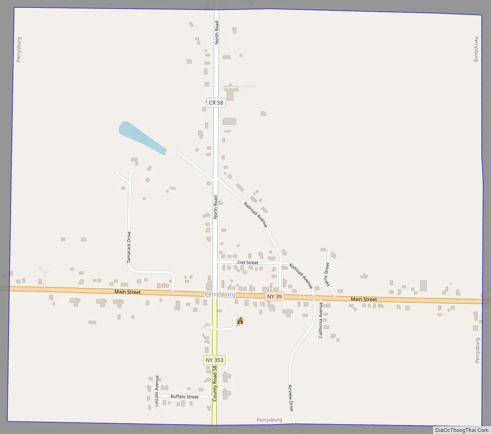
Perrysburg Road Map
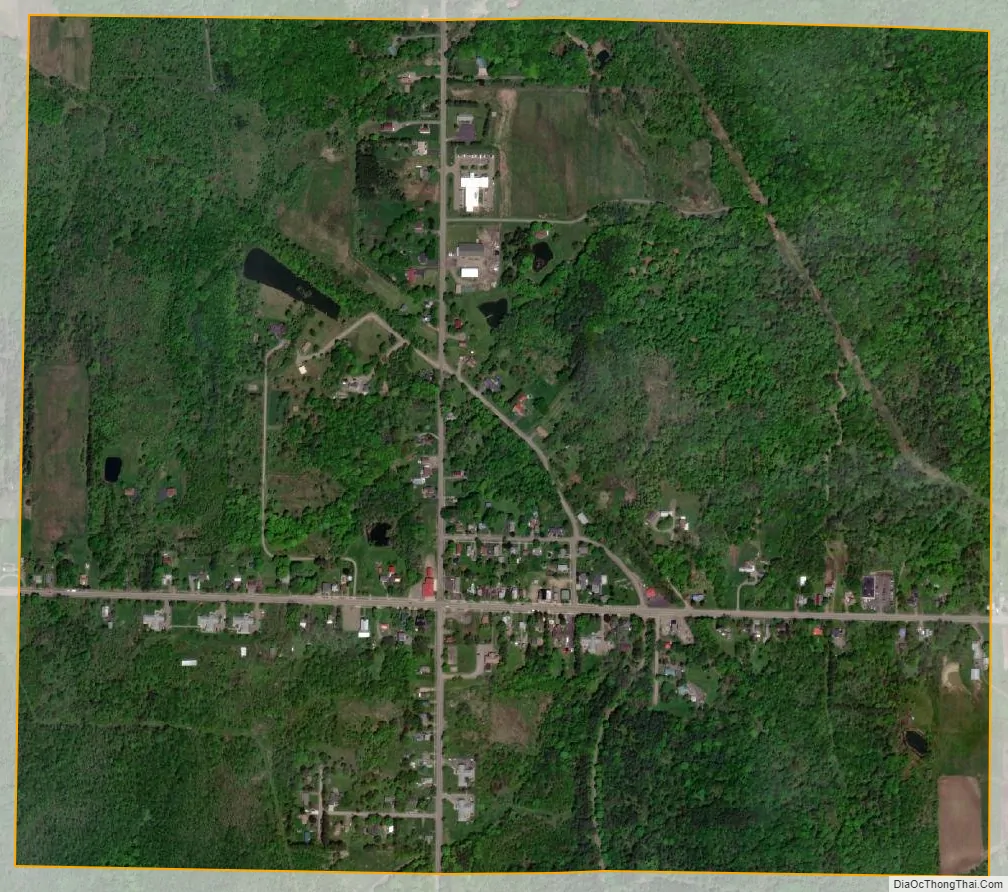
Perrysburg city Satellite Map
Geography
Perrysburg is located at 42°27′28″N 79°0′3″W / 42.45778°N 79.00083°W / 42.45778; -79.00083 (42.457801, -79.000855).
According to the United States Census Bureau, the village has a total area of 1.0 square mile (2.6 km), all land.
The village is at the junction of NY State Route 39 and County Road 58, the former northern terminus of NY 353.
See also
Map of New York State and its subdivision:- Albany
- Allegany
- Bronx
- Broome
- Cattaraugus
- Cayuga
- Chautauqua
- Chemung
- Chenango
- Clinton
- Columbia
- Cortland
- Delaware
- Dutchess
- Erie
- Essex
- Franklin
- Fulton
- Genesee
- Greene
- Hamilton
- Herkimer
- Jefferson
- Kings
- Lake Ontario
- Lewis
- Livingston
- Madison
- Monroe
- Montgomery
- Nassau
- New York
- Niagara
- Oneida
- Onondaga
- Ontario
- Orange
- Orleans
- Oswego
- Otsego
- Putnam
- Queens
- Rensselaer
- Richmond
- Rockland
- Saint Lawrence
- Saratoga
- Schenectady
- Schoharie
- Schuyler
- Seneca
- Steuben
- Suffolk
- Sullivan
- Tioga
- Tompkins
- Ulster
- Warren
- Washington
- Wayne
- Westchester
- Wyoming
- Yates
- Alabama
- Alaska
- Arizona
- Arkansas
- California
- Colorado
- Connecticut
- Delaware
- District of Columbia
- Florida
- Georgia
- Hawaii
- Idaho
- Illinois
- Indiana
- Iowa
- Kansas
- Kentucky
- Louisiana
- Maine
- Maryland
- Massachusetts
- Michigan
- Minnesota
- Mississippi
- Missouri
- Montana
- Nebraska
- Nevada
- New Hampshire
- New Jersey
- New Mexico
- New York
- North Carolina
- North Dakota
- Ohio
- Oklahoma
- Oregon
- Pennsylvania
- Rhode Island
- South Carolina
- South Dakota
- Tennessee
- Texas
- Utah
- Vermont
- Virginia
- Washington
- West Virginia
- Wisconsin
- Wyoming