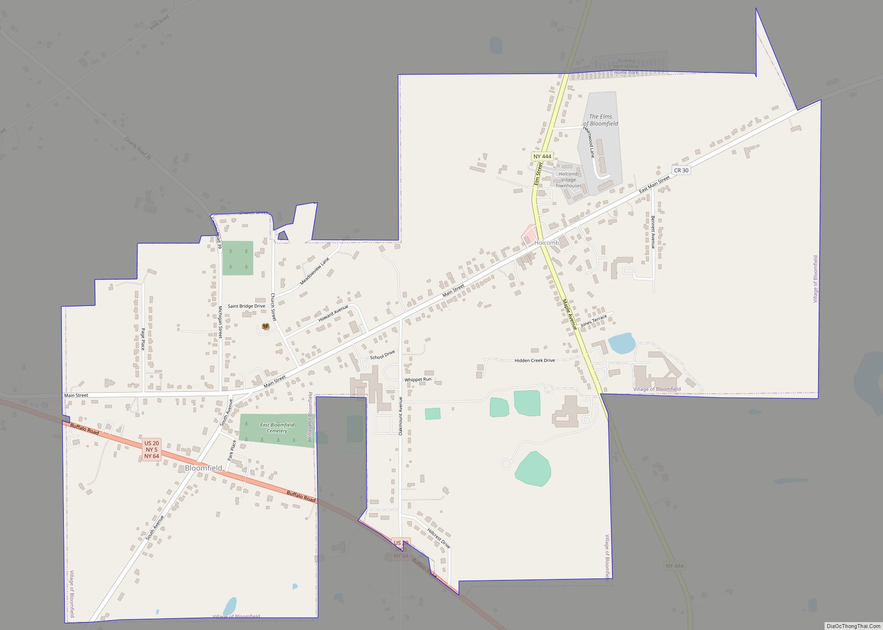
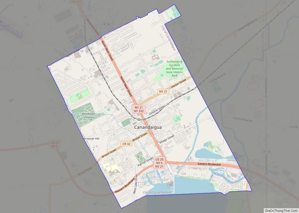
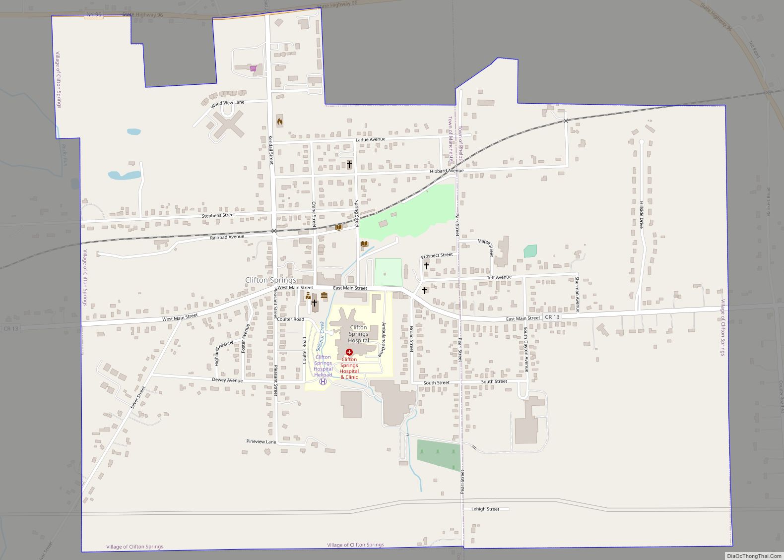
Phelps is a village in Ontario County, New York, United States. The population was 1,989 at the 2010 census. The village is named after an original proprietor, Oliver Phelps.
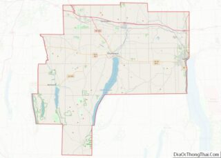
The Village of Phelps is near the center of the Town of Phelps and is north of Geneva.
A Sauerkraut Festival is held every August.
| Name: | Phelps village |
|---|---|
| LSAD Code: | 47 |
| LSAD Description: | village (suffix) |
| State: | New York |
| County: | Ontario County |
| Elevation: | 522 ft (159 m) |
| Total Area: | 1.16 sq mi (3.00 km²) |
| Land Area: | 1.16 sq mi (3.00 km²) |
| Water Area: | 0.00 sq mi (0.00 km²) |
| Total Population: | 1,851 |
| Population Density: | 1,599.83/sq mi (617.78/km²) |
| ZIP code: | 14532 |
| Area code: | 315 |
| FIPS code: | 3657518 |
| GNISfeature ID: | 0960275 |
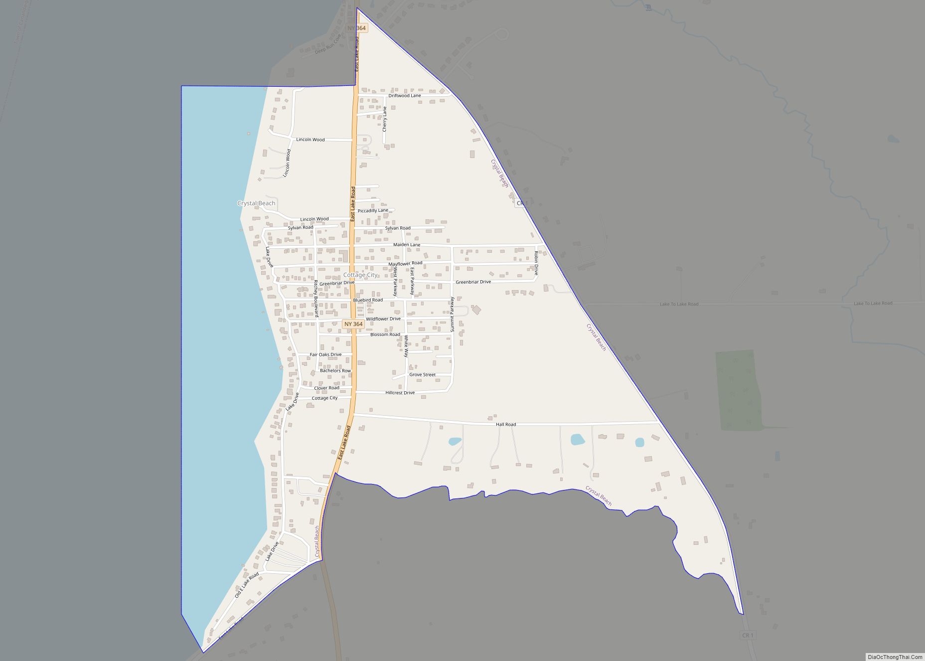
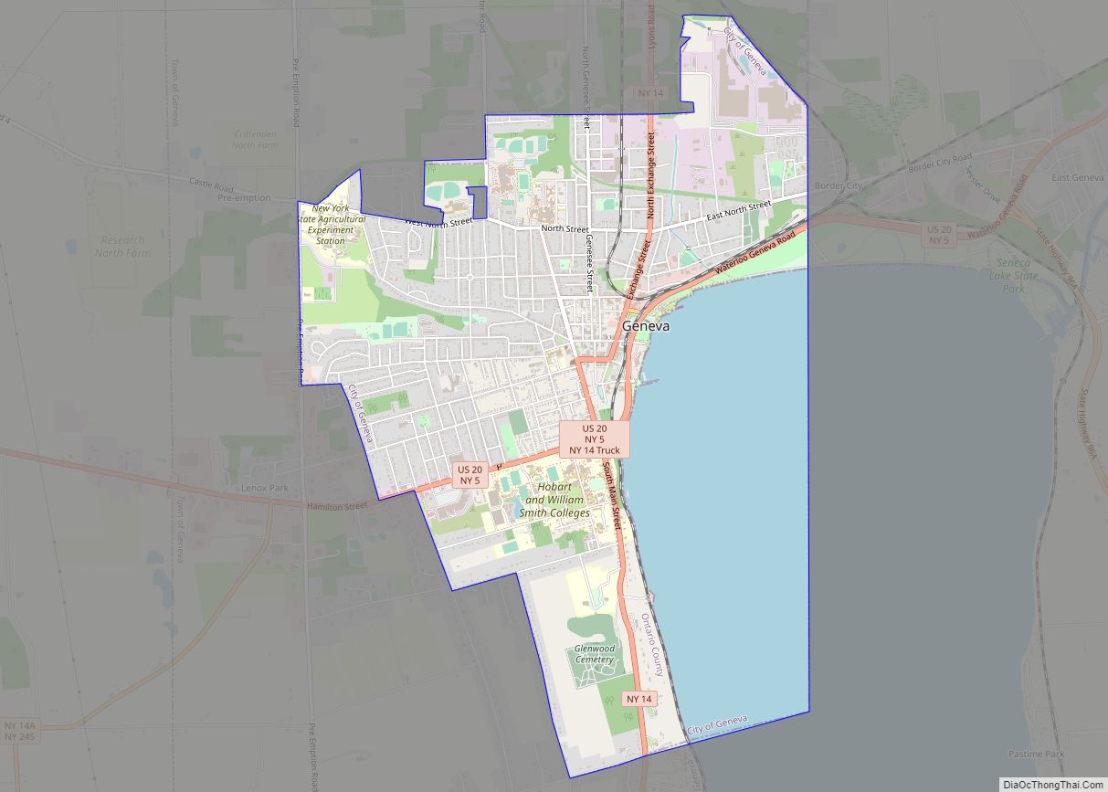
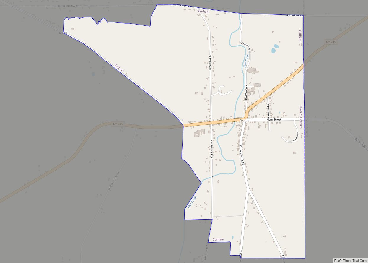
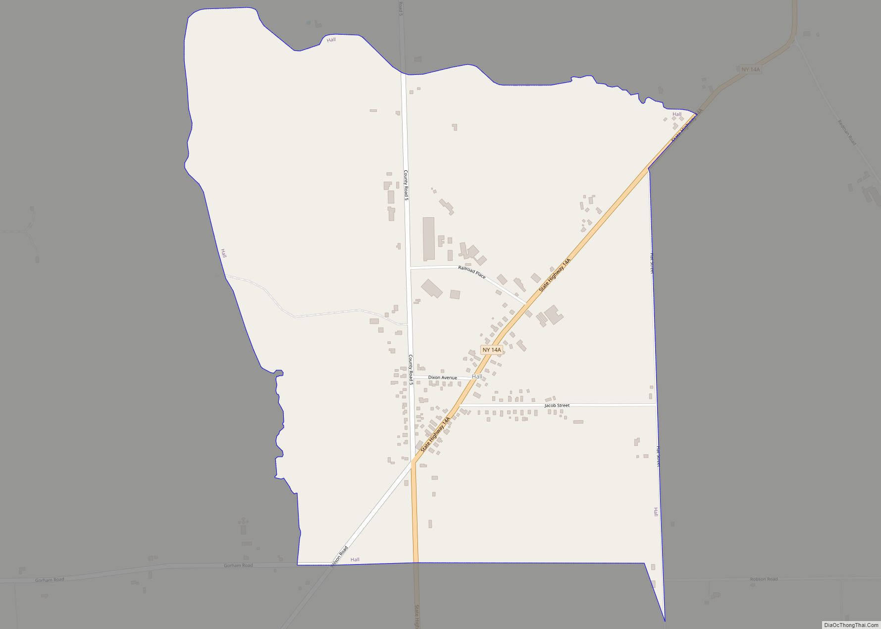
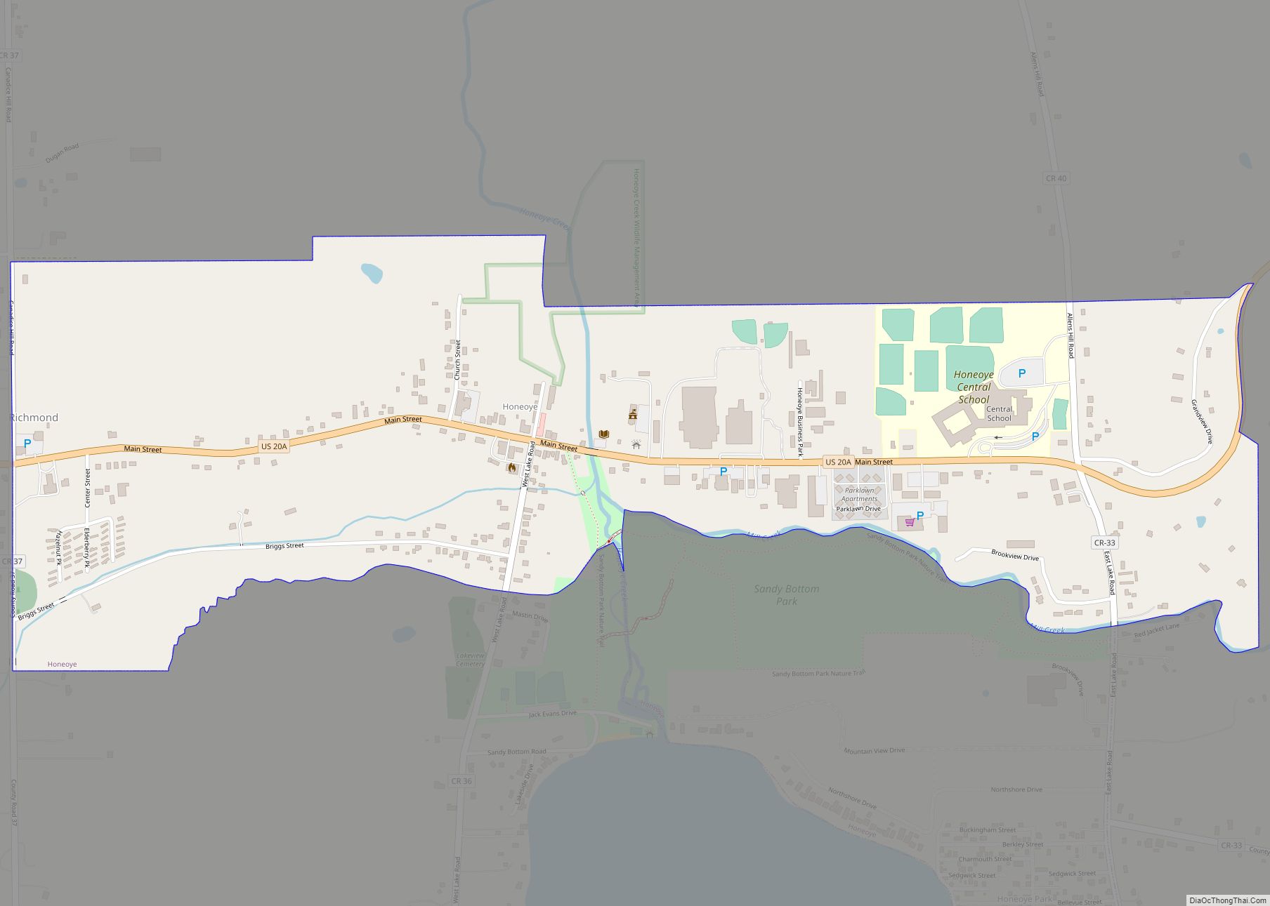
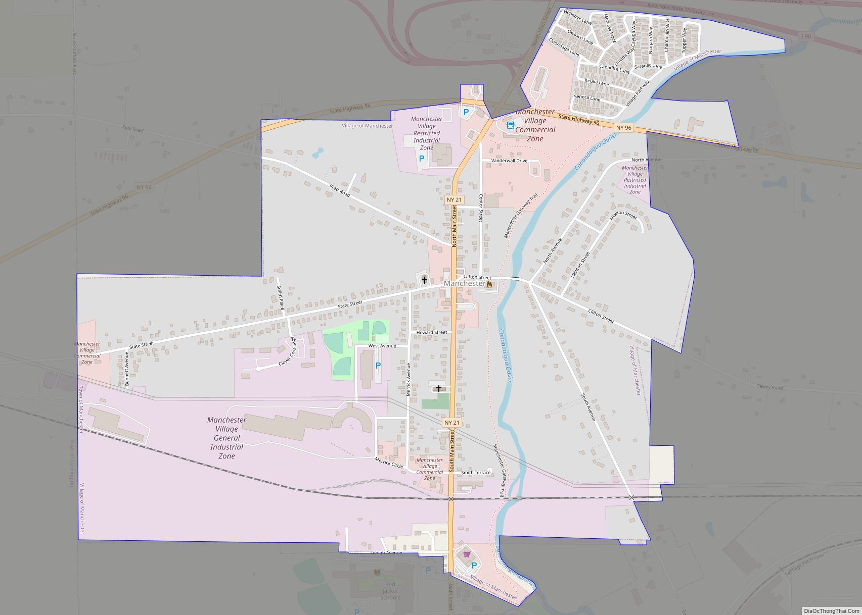
Online Interactive Map
Click on ![]() to view map in "full screen" mode.
to view map in "full screen" mode.
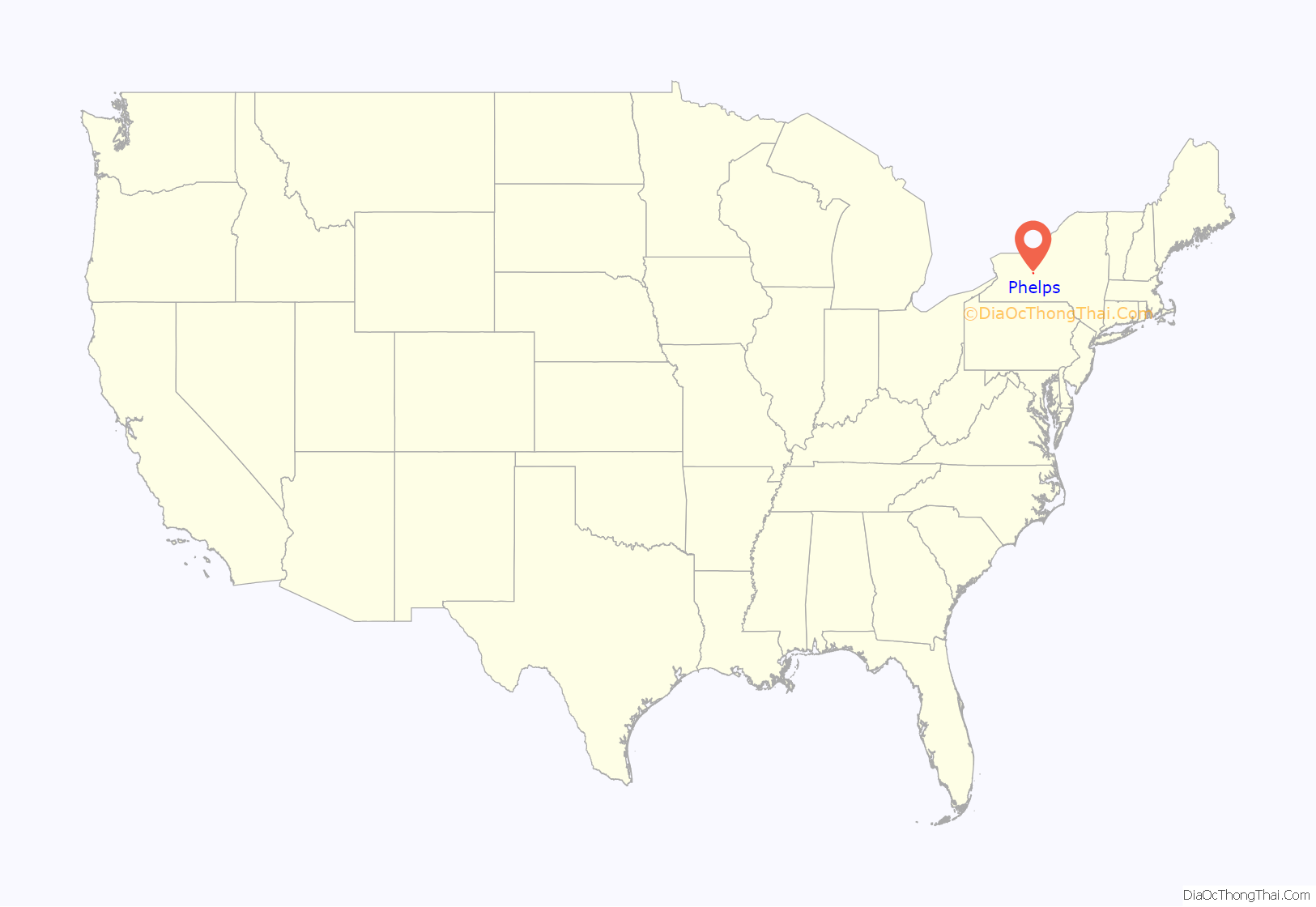
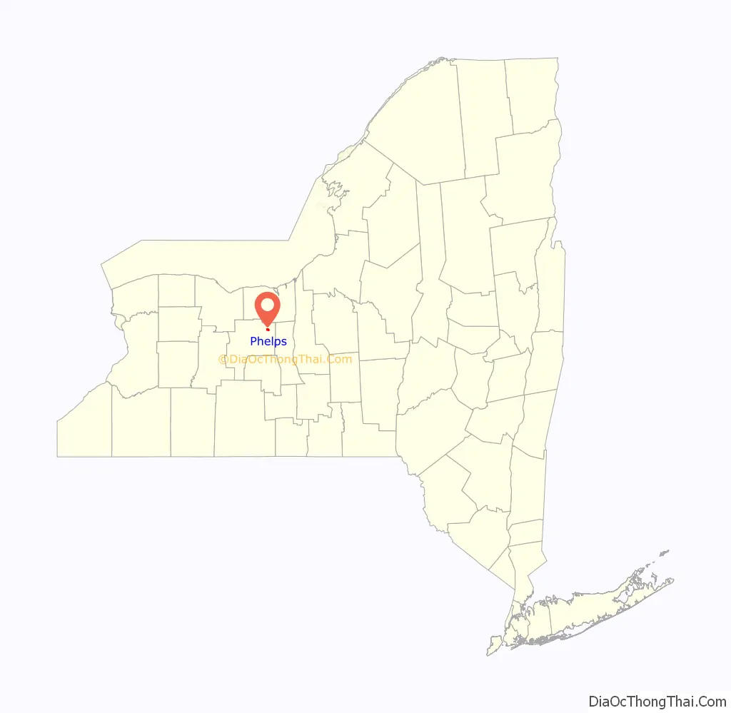
Phelps location map. Where is Phelps village?
History
The community was first settled around 1793, one of the first locations in the town. The village was incorporated in 1855 as “Phelps,” having been earlier known as “Vienna.” The village had also been mockingly called “Woodpecker City,” possibly to mock the villagers, who seemed always busy.
The First Baptist Church of Phelps, St. John’s Episcopal Church, Phelps Town Hall, and Dr. John Quincy Howe House are listed on the National Register of Historic Places.
While Phelps, New York was still known as Vienna, it was the basis for the naming of Vienna, Virginia.
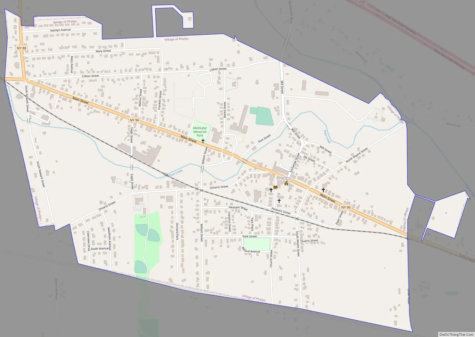
Phelps Road Map
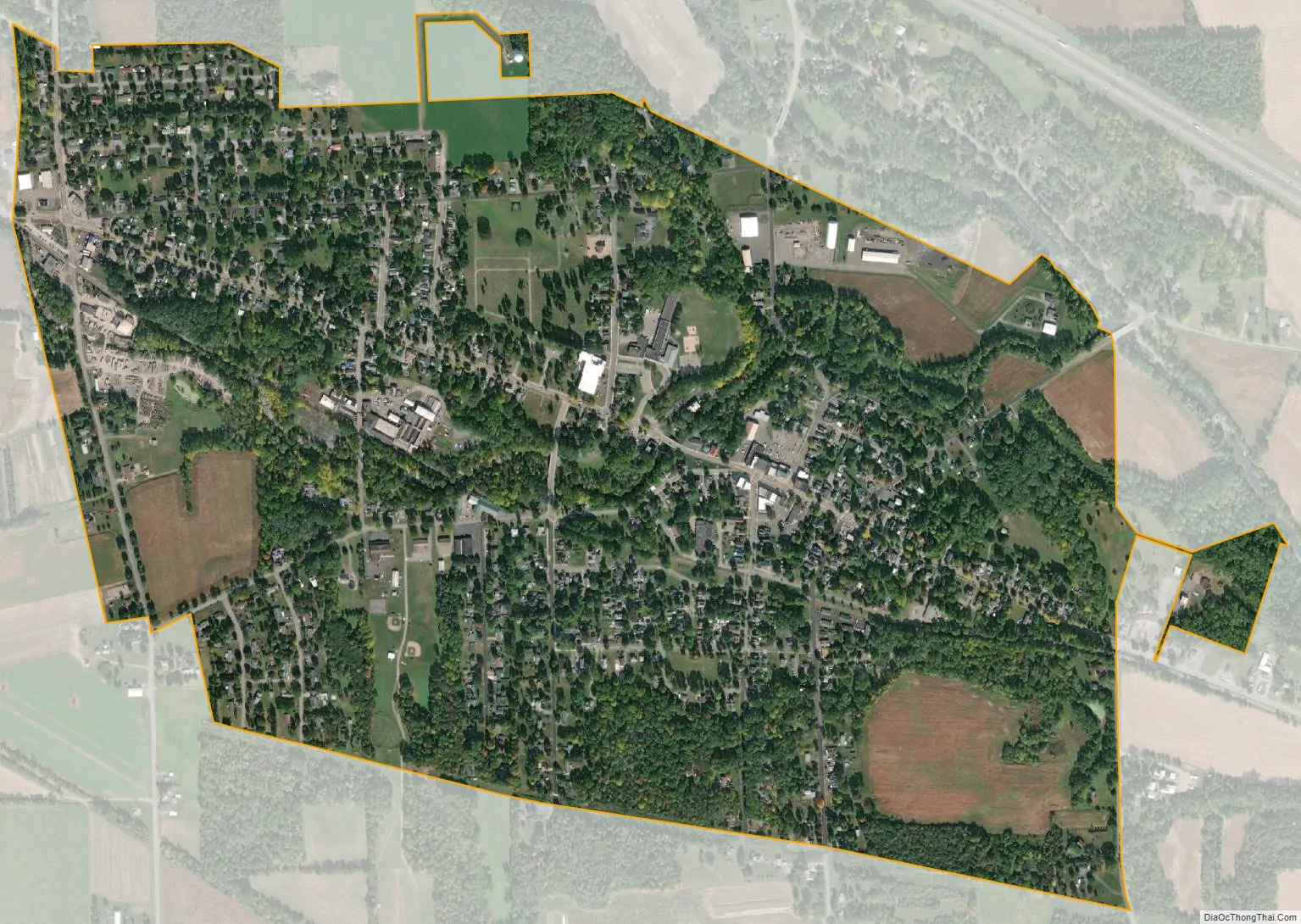
Phelps city Satellite Map
Geography
Phelps is located at 42°57′30″N 77°3′44″W / 42.95833°N 77.06222°W / 42.95833; -77.06222 (42.958396, -77.062297).
According to the United States Census Bureau, the village has a total area of 1.2 square miles (3.0 km), all land.
Phelps is south of the New York State Thruway (Interstate 90). New York State Route 96 is an east–west highway passing through the village. The New York State Thruway passes north of the village.
Flint Creek flows through the village to the Canandaigua Outlet.
Phelps is in the Finger Lakes District and is north of Seneca Lake.
See also
Map of New York State and its subdivision:- Albany
- Allegany
- Bronx
- Broome
- Cattaraugus
- Cayuga
- Chautauqua
- Chemung
- Chenango
- Clinton
- Columbia
- Cortland
- Delaware
- Dutchess
- Erie
- Essex
- Franklin
- Fulton
- Genesee
- Greene
- Hamilton
- Herkimer
- Jefferson
- Kings
- Lake Ontario
- Lewis
- Livingston
- Madison
- Monroe
- Montgomery
- Nassau
- New York
- Niagara
- Oneida
- Onondaga
- Ontario
- Orange
- Orleans
- Oswego
- Otsego
- Putnam
- Queens
- Rensselaer
- Richmond
- Rockland
- Saint Lawrence
- Saratoga
- Schenectady
- Schoharie
- Schuyler
- Seneca
- Steuben
- Suffolk
- Sullivan
- Tioga
- Tompkins
- Ulster
- Warren
- Washington
- Wayne
- Westchester
- Wyoming
- Yates
- Alabama
- Alaska
- Arizona
- Arkansas
- California
- Colorado
- Connecticut
- Delaware
- District of Columbia
- Florida
- Georgia
- Hawaii
- Idaho
- Illinois
- Indiana
- Iowa
- Kansas
- Kentucky
- Louisiana
- Maine
- Maryland
- Massachusetts
- Michigan
- Minnesota
- Mississippi
- Missouri
- Montana
- Nebraska
- Nevada
- New Hampshire
- New Jersey
- New Mexico
- New York
- North Carolina
- North Dakota
- Ohio
- Oklahoma
- Oregon
- Pennsylvania
- Rhode Island
- South Carolina
- South Dakota
- Tennessee
- Texas
- Utah
- Vermont
- Virginia
- Washington
- West Virginia
- Wisconsin
- Wyoming