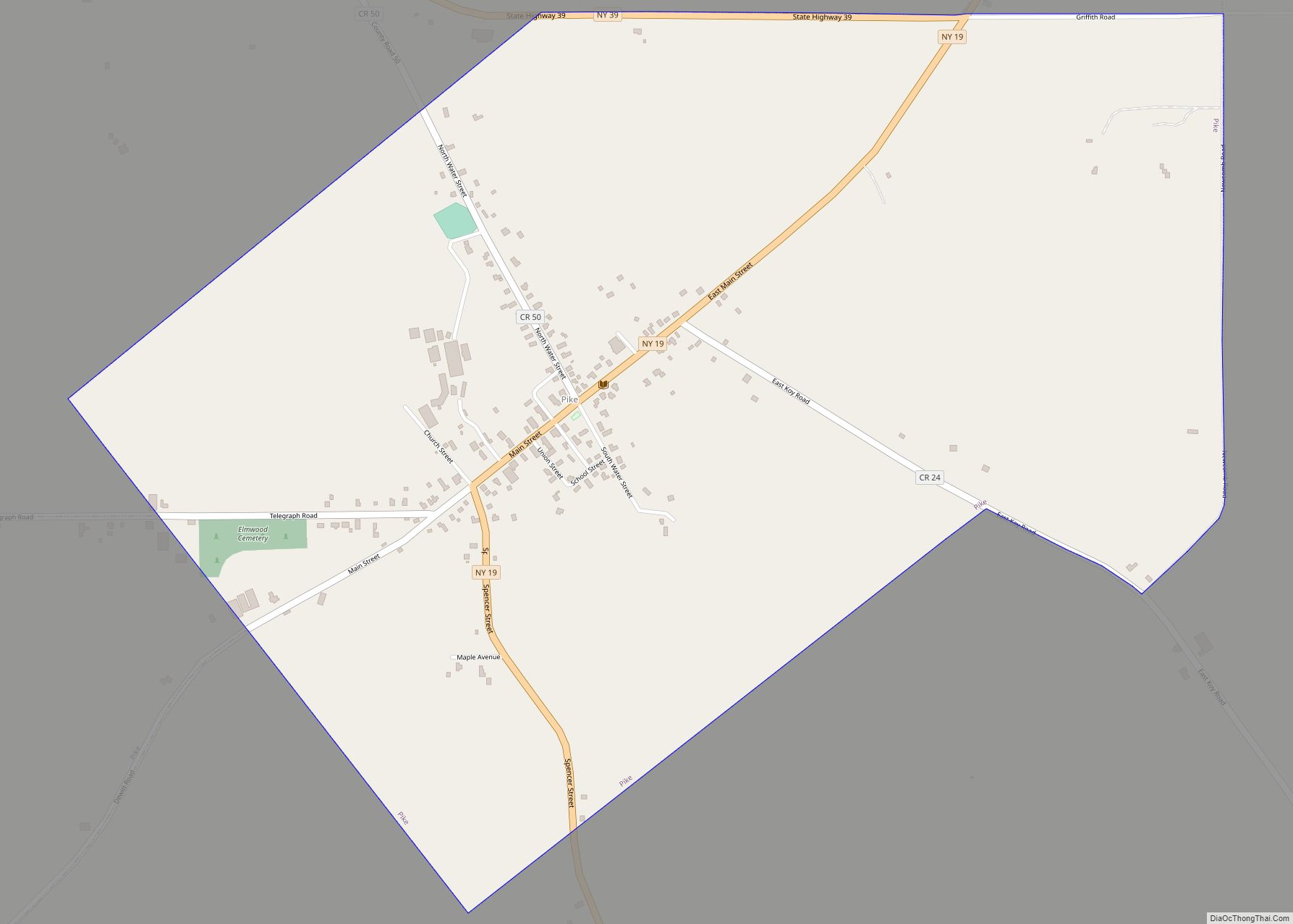
Pike is a hamlet and census-designated place within the Town of Pike in Wyoming County, New York, United States. The population was 371 at the 2010 census. Pike, located near the center of the town at the junction of NY 19 and NY 39, was a village from 1848 to 2009. The Wyoming County Fairgrounds are in the hamlet.
| Name: | Pike CDP |
|---|---|
| LSAD Code: | 57 |
| LSAD Description: | CDP (suffix) |
| State: | New York |
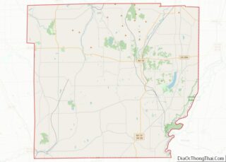
| County: | Wyoming County |
| Incorporated: | June 23, 1848 (1848-06-23) |
| Elevation: | 1,545 ft (471 m) |
| Total Area: | 1.74 sq mi (4.52 km²) |
| Land Area: | 1.74 sq mi (4.51 km²) |
| Water Area: | 0.00 sq mi (0.00 km²) |
| Total Population: | 298 |
| Population Density: | 170.97/sq mi (66.02/km²) |
| ZIP code: | 14130 |
| Area code: | 585 |
| FIPS code: | 3657815 |
| GNISfeature ID: | 0960384 |
Online Interactive Map
Click on ![]() to view map in "full screen" mode.
to view map in "full screen" mode.
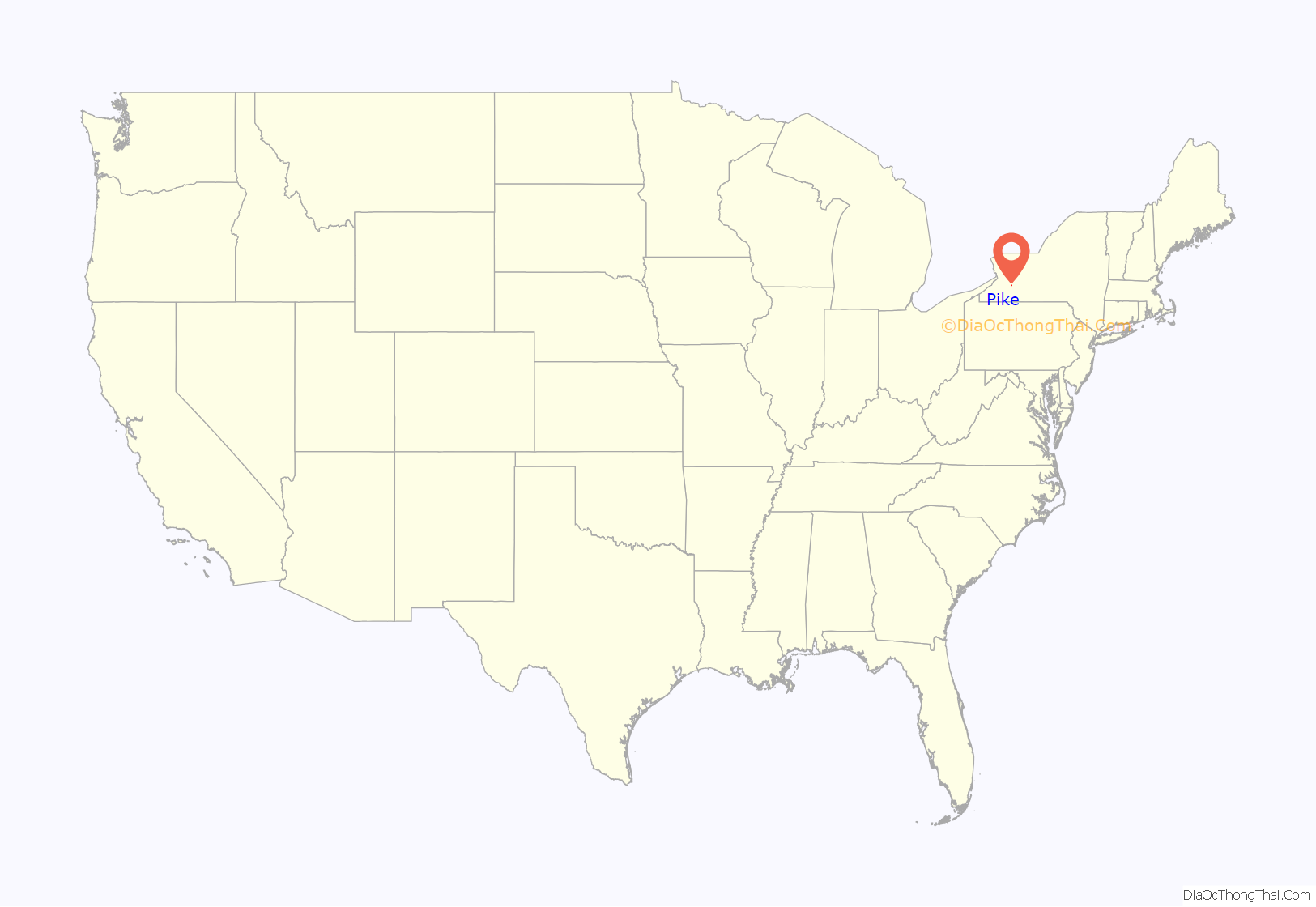
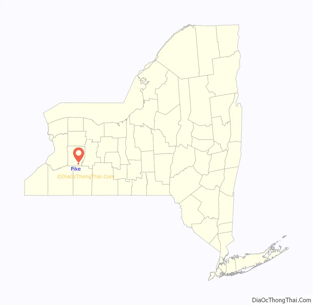
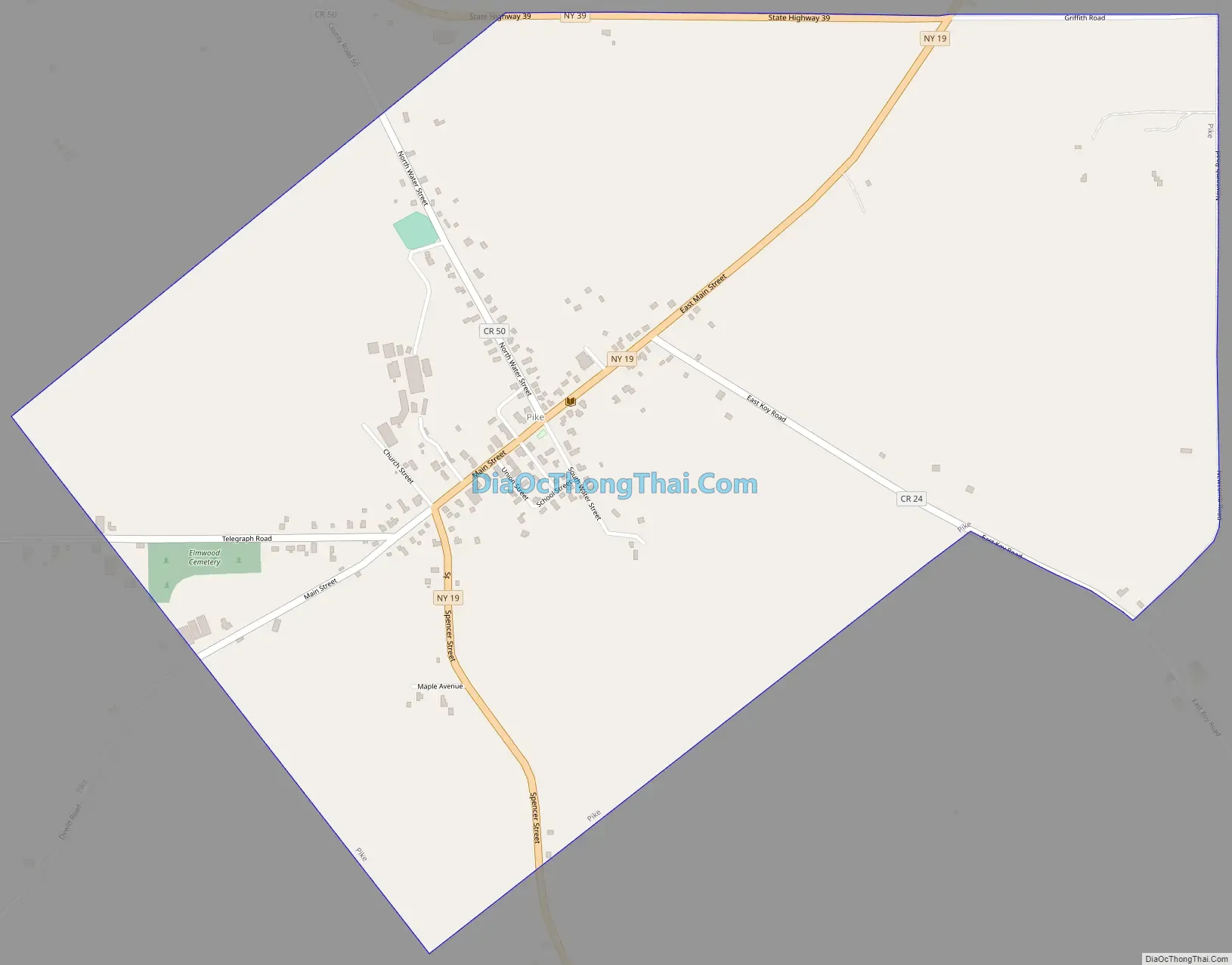
Pike location map. Where is Pike CDP?
History
The village was incorporated in 1848, setting itself off from the Town of Pike.
In 2008, a resolution was drafted to allow for the dissolution of the village of Pike, and a public vote was held on March 18, 2008, passing 31-5. The official dissolution took place on December 31, 2009.
The First Free Will Baptist Church of Pike was listed on the National Register of Historic Places in 2012.
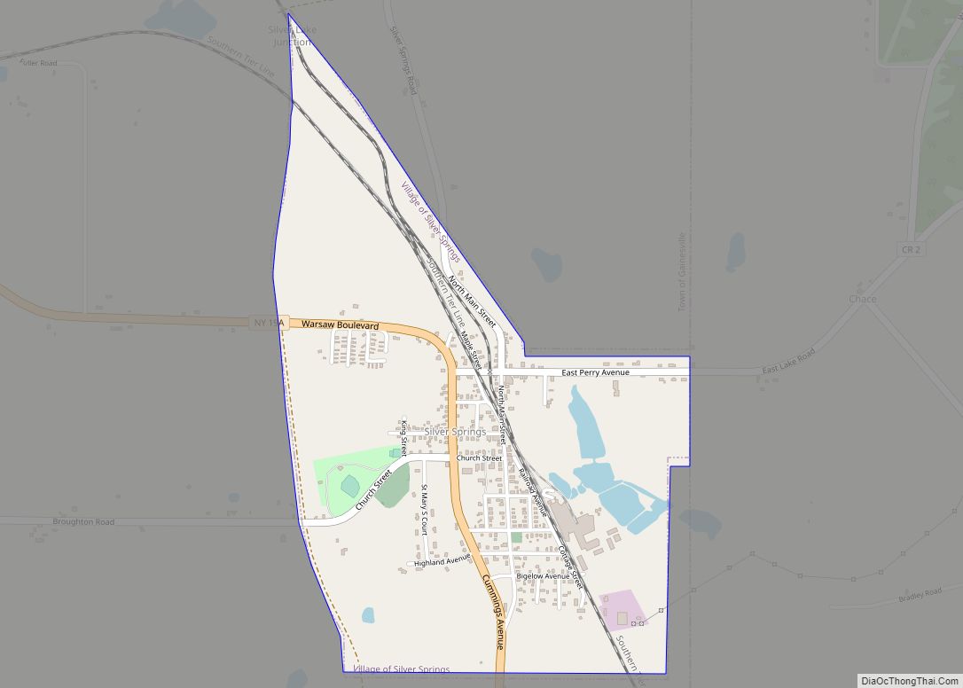
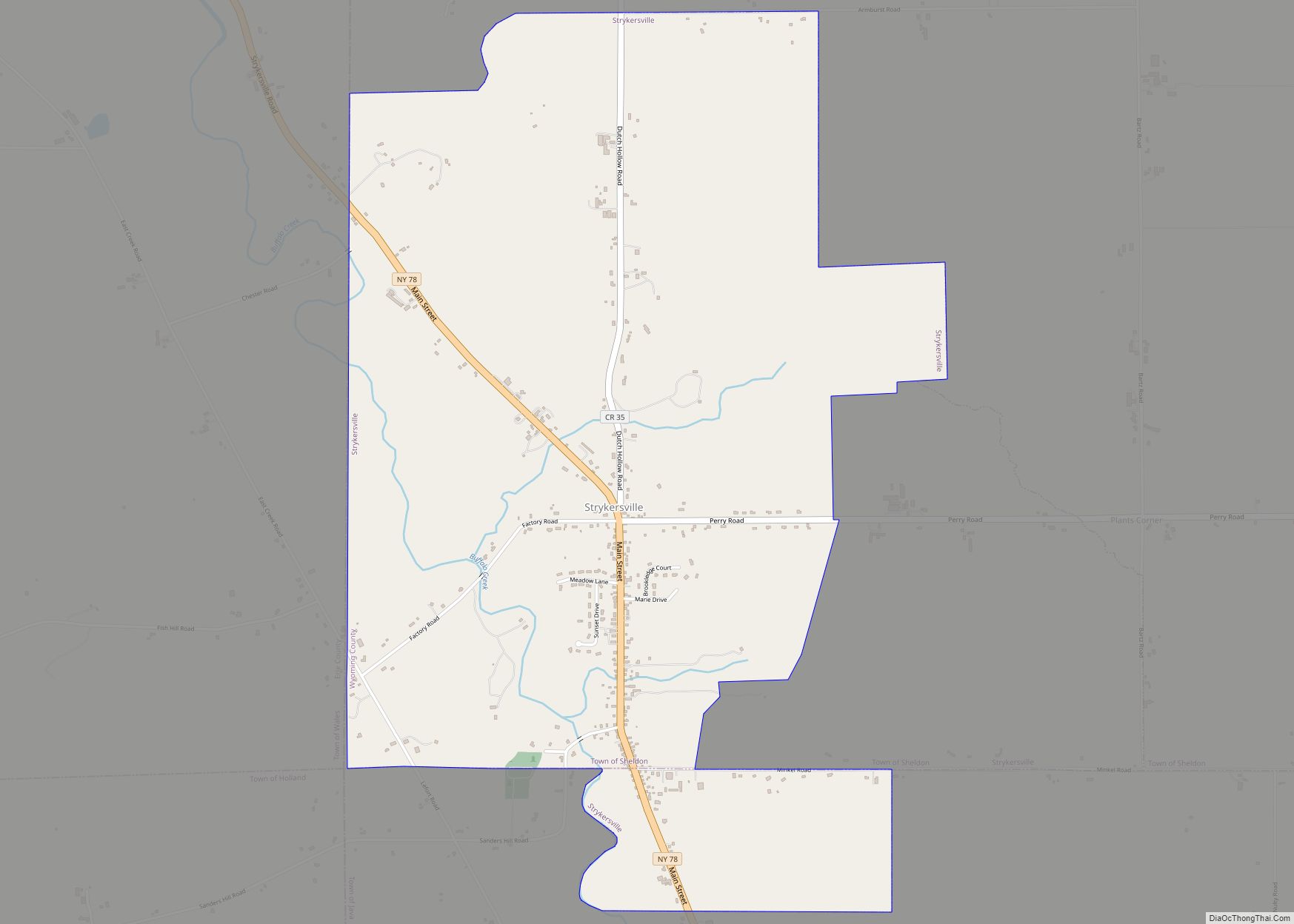
Pike Road Map
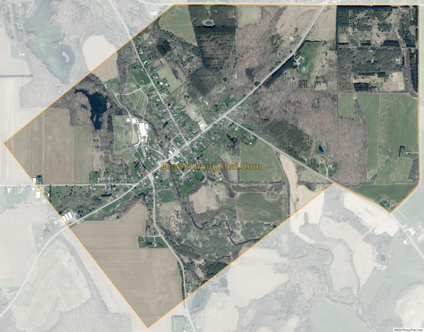
Pike city Satellite Map
Geography
Pike is located at 42°33′22″N 78°9′19″W / 42.55611°N 78.15528°W / 42.55611; -78.15528 (42.556262, -78.155313).
According to the United States Census Bureau, the village had a total area of 1.0 square miles (2.6 km), of which 1.0 square mile (2.5 km) is land and 1.01% is water.
See also
Map of New York State and its subdivision:- Albany
- Allegany
- Bronx
- Broome
- Cattaraugus
- Cayuga
- Chautauqua
- Chemung
- Chenango
- Clinton
- Columbia
- Cortland
- Delaware
- Dutchess
- Erie
- Essex
- Franklin
- Fulton
- Genesee
- Greene
- Hamilton
- Herkimer
- Jefferson
- Kings
- Lake Ontario
- Lewis
- Livingston
- Madison
- Monroe
- Montgomery
- Nassau
- New York
- Niagara
- Oneida
- Onondaga
- Ontario
- Orange
- Orleans
- Oswego
- Otsego
- Putnam
- Queens
- Rensselaer
- Richmond
- Rockland
- Saint Lawrence
- Saratoga
- Schenectady
- Schoharie
- Schuyler
- Seneca
- Steuben
- Suffolk
- Sullivan
- Tioga
- Tompkins
- Ulster
- Warren
- Washington
- Wayne
- Westchester
- Wyoming
- Yates
- Alabama
- Alaska
- Arizona
- Arkansas
- California
- Colorado
- Connecticut
- Delaware
- District of Columbia
- Florida
- Georgia
- Hawaii
- Idaho
- Illinois
- Indiana
- Iowa
- Kansas
- Kentucky
- Louisiana
- Maine
- Maryland
- Massachusetts
- Michigan
- Minnesota
- Mississippi
- Missouri
- Montana
- Nebraska
- Nevada
- New Hampshire
- New Jersey
- New Mexico
- New York
- North Carolina
- North Dakota
- Ohio
- Oklahoma
- Oregon
- Pennsylvania
- Rhode Island
- South Carolina
- South Dakota
- Tennessee
- Texas
- Utah
- Vermont
- Virginia
- Washington
- West Virginia
- Wisconsin
- Wyoming