Pine Hill is a hamlet (and census-designated place) in the western part of the town of Shandaken in Ulster County, New York, United States. As of the 2020 census, the CDP had a total population of 275.
| Name: | Pine Hill CDP |
|---|---|
| LSAD Code: | 57 |
| LSAD Description: | CDP (suffix) |
| State: | New York |
| County: | Ulster County |
| Incorporated: | 1895 |
| Elevation: | 1,499 ft (457 m) |
| Total Area: | 2.08 sq mi (5.40 km²) |
| Land Area: | 2.08 sq mi (5.38 km²) |
| Water Area: | 0.01 sq mi (0.03 km²) |
| Total Population: | 275 |
| Population Density: | 132.53/sq mi (51.16/km²) |
| ZIP code: | 12465 |
| Area code: | 845 |
| FIPS code: | 3658057 |
Online Interactive Map
Click on ![]() to view map in "full screen" mode.
to view map in "full screen" mode.
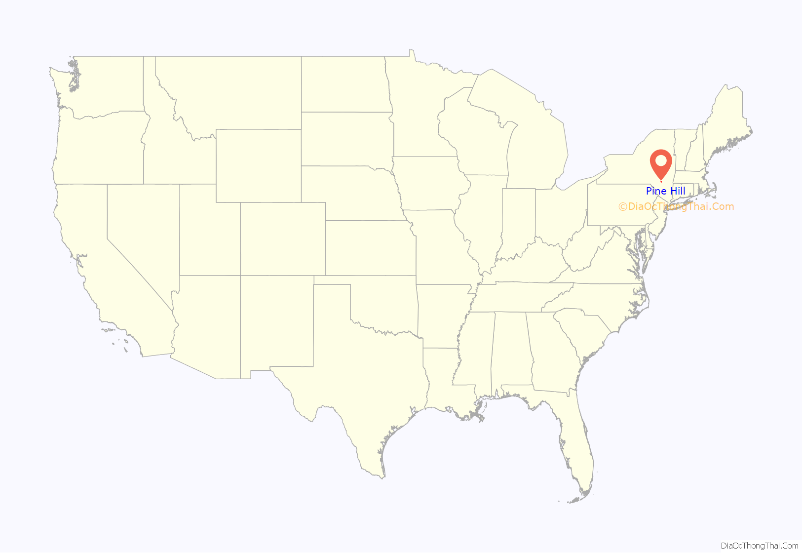
Pine Hill location map. Where is Pine Hill CDP?
History
Pine Hill became an important tourist community when the Ulster and Delaware Railroad reached it in 1872. It was known as the “Saratoga” of the Catskills due to the local Crystal Springs bottling company. In 1895, Pine Hill became an incorporated village, but the village voted to dissolve its incorporation in 1985, becoming an unincorporated entity (hamlet).
The District School No. 14, Elm Street Stone Arch Bridge, Mill Street Stone Arch Bridge, Morton Memorial Library, Pine Hill Historic District, and Ulster House Hotel are listed on the National Register of Historic Places.
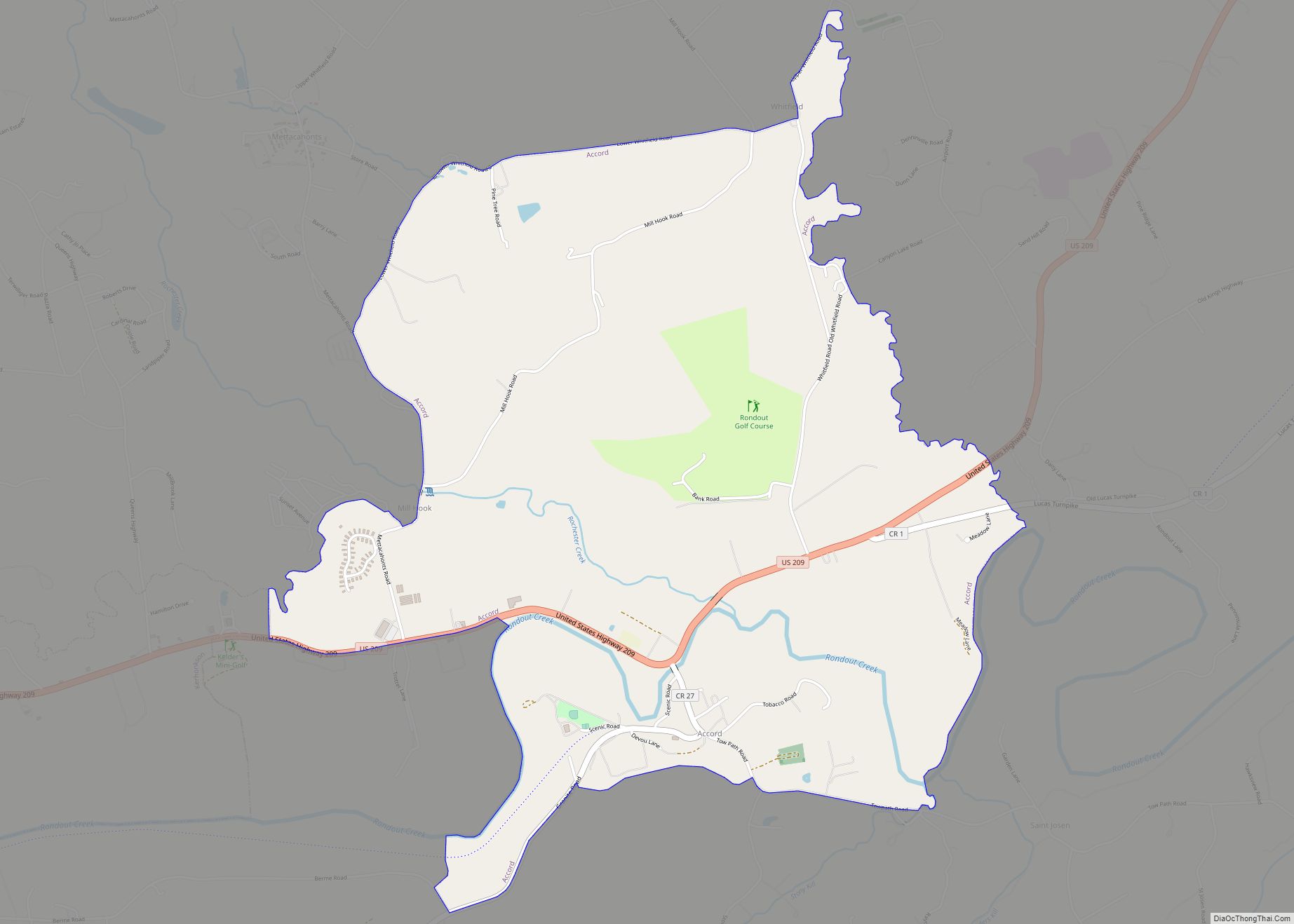
Pine Hill Road Map
Pine Hill city Satellite Map
Geography
According to the United States Census Bureau, the CDP has a total area of 2.1 square miles (5.4 km), of which 5.5 km (2.1 mi) is land and 0.47% is water.
The community is inside the Catskill Park.
See also
Map of New York State and its subdivision:- Albany
- Allegany
- Bronx
- Broome
- Cattaraugus
- Cayuga
- Chautauqua
- Chemung
- Chenango
- Clinton
- Columbia
- Cortland
- Delaware
- Dutchess
- Erie
- Essex
- Franklin
- Fulton
- Genesee
- Greene
- Hamilton
- Herkimer
- Jefferson
- Kings
- Lake Ontario
- Lewis
- Livingston
- Madison
- Monroe
- Montgomery
- Nassau
- New York
- Niagara
- Oneida
- Onondaga
- Ontario
- Orange
- Orleans
- Oswego
- Otsego
- Putnam
- Queens
- Rensselaer
- Richmond
- Rockland
- Saint Lawrence
- Saratoga
- Schenectady
- Schoharie
- Schuyler
- Seneca
- Steuben
- Suffolk
- Sullivan
- Tioga
- Tompkins
- Ulster
- Warren
- Washington
- Wayne
- Westchester
- Wyoming
- Yates
- Alabama
- Alaska
- Arizona
- Arkansas
- California
- Colorado
- Connecticut
- Delaware
- District of Columbia
- Florida
- Georgia
- Hawaii
- Idaho
- Illinois
- Indiana
- Iowa
- Kansas
- Kentucky
- Louisiana
- Maine
- Maryland
- Massachusetts
- Michigan
- Minnesota
- Mississippi
- Missouri
- Montana
- Nebraska
- Nevada
- New Hampshire
- New Jersey
- New Mexico
- New York
- North Carolina
- North Dakota
- Ohio
- Oklahoma
- Oregon
- Pennsylvania
- Rhode Island
- South Carolina
- South Dakota
- Tennessee
- Texas
- Utah
- Vermont
- Virginia
- Washington
- West Virginia
- Wisconsin
- Wyoming
