Plattekill is a hamlet (and census-designated place) in Ulster County, New York, United States. The population was 1,296 at the 2020 census. The community, as is the town, is named after a local stream, the Platte Kill.
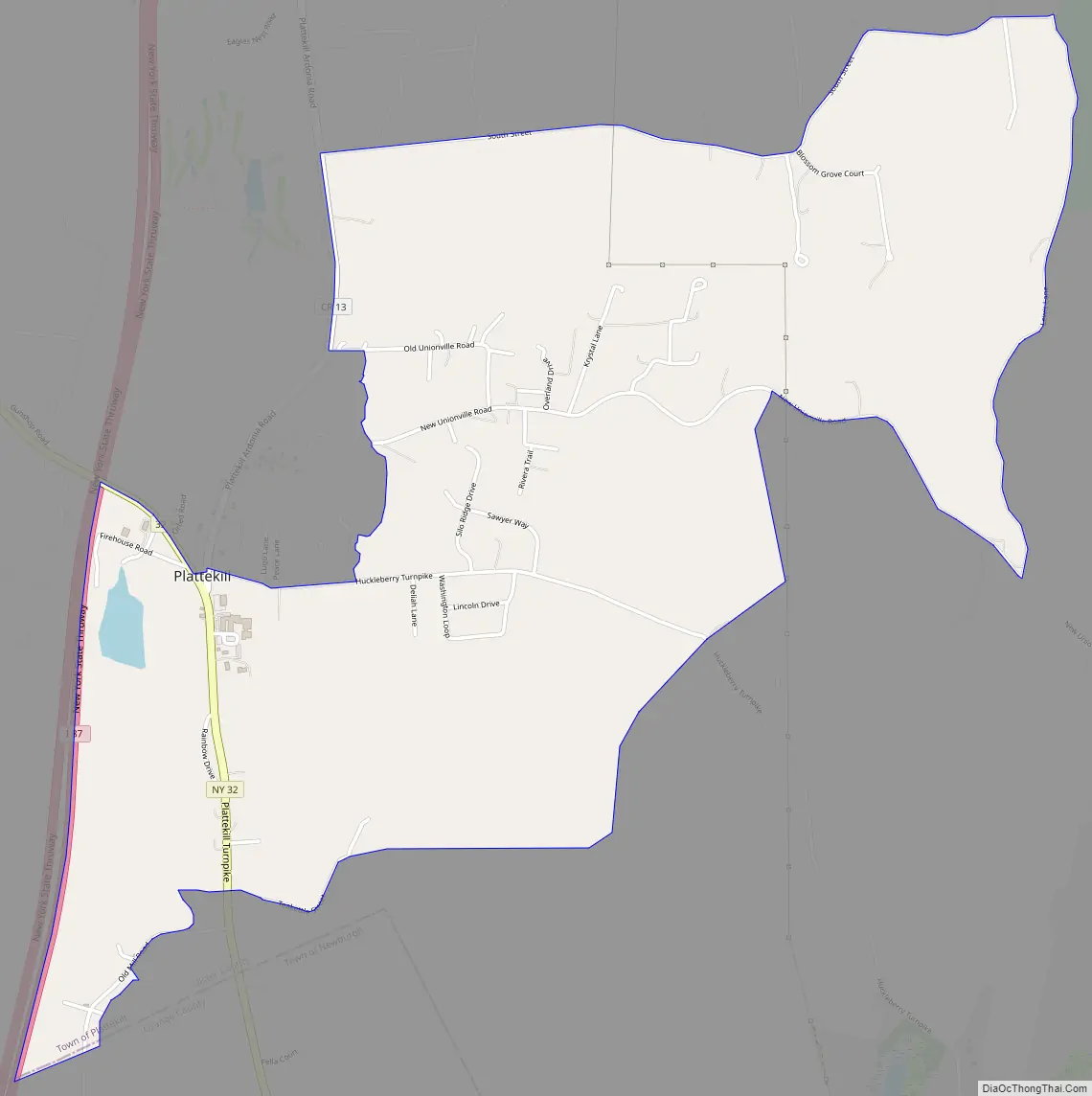
Plattekill is in the southern part of the Town of Plattekill. The community is adjacent to the New York State Thruway (Interstate 87) at the junction of Routes 32 and 13 and is one mile (1.6 km) north of the county line of Orange County.
| Name: | Plattekill CDP |
|---|---|
| LSAD Code: | 57 |
| LSAD Description: | CDP (suffix) |
| State: | New York |
| County: | Ulster County |
| Elevation: | 568 ft (173 m) |
| Total Area: | 2.84 sq mi (7.36 km²) |
| Land Area: | 2.77 sq mi (7.16 km²) |
| Water Area: | 0.07 sq mi (0.19 km²) |
| Total Population: | 1,296 |
| Population Density: | 468.72/sq mi (180.96/km²) |
| ZIP code: | 12568 |
| Area code: | 845 |
| FIPS code: | 3658541 |
| GNISfeature ID: | 0960690 |
Online Interactive Map
Click on ![]() to view map in "full screen" mode.
to view map in "full screen" mode.
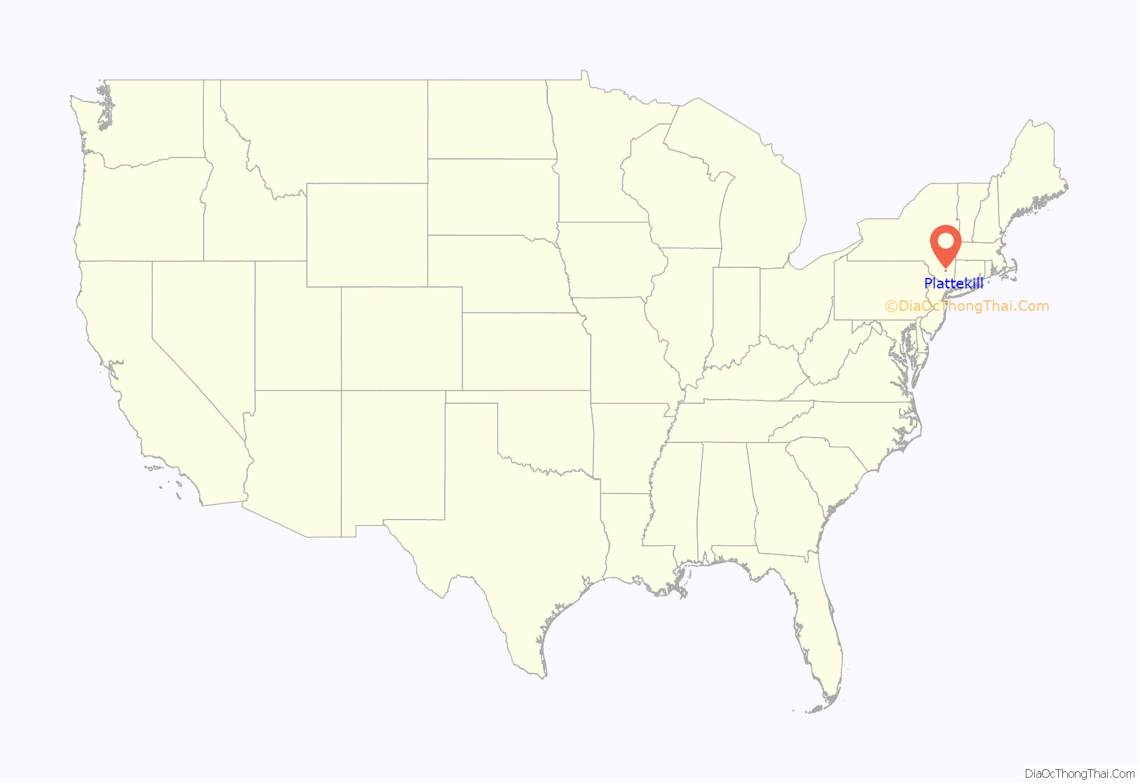
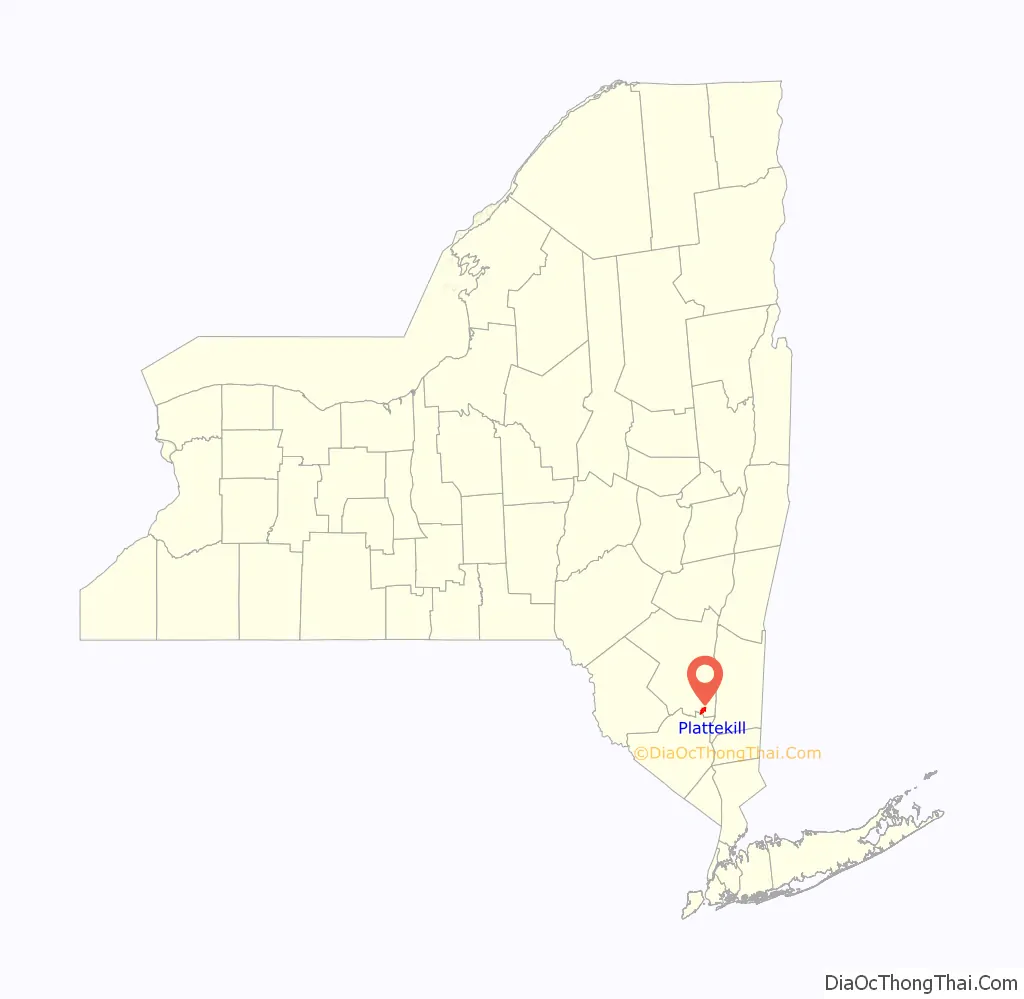
Plattekill location map. Where is Plattekill CDP?
Plattekill Road Map
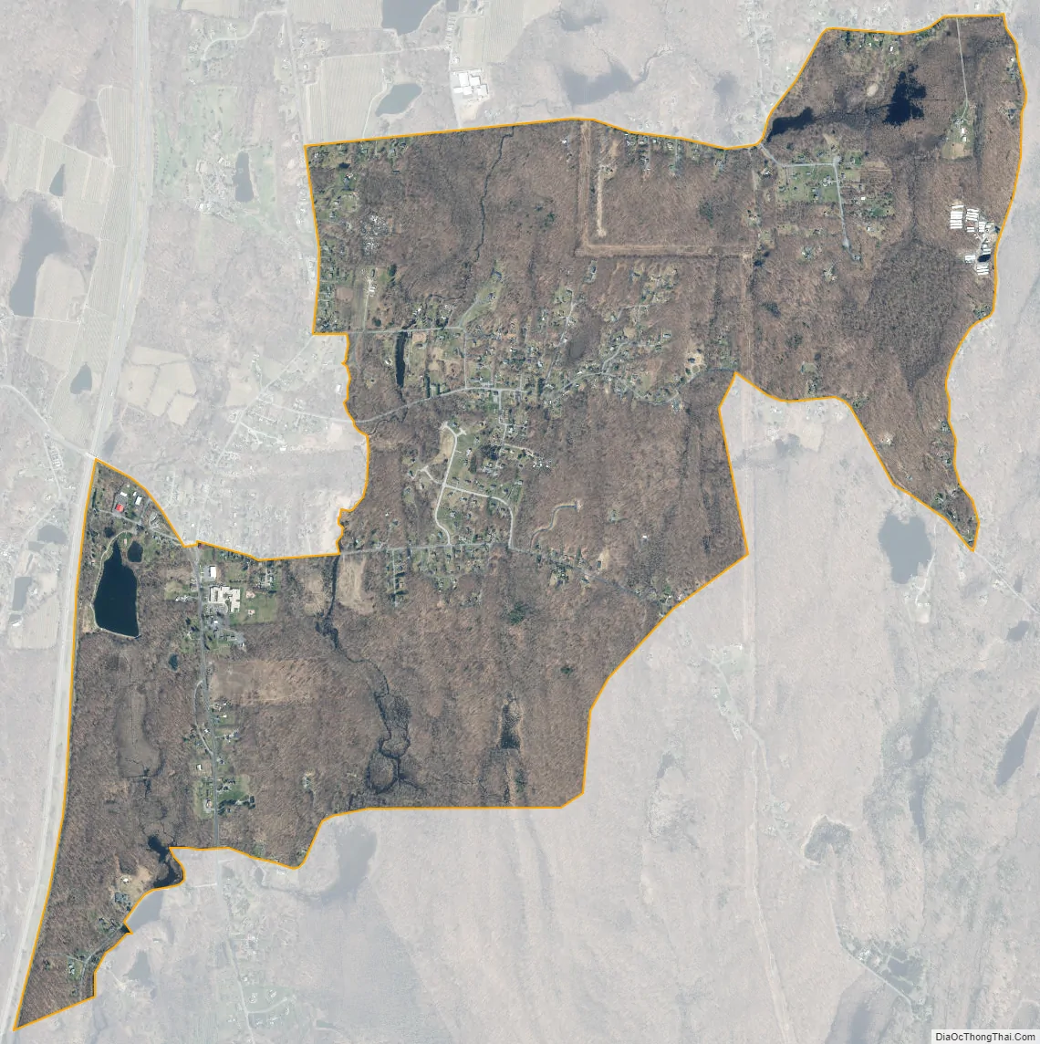
Plattekill city Satellite Map
Geography
Plattekill is located at 41°36′42″N 74°4′20″W / 41.61167°N 74.07222°W / 41.61167; -74.07222 (41.611799, -74.072256).
According to the United States Census Bureau, the CDP has a total area of 2.6 square miles (6.8 km), of which 2.6 square miles (6.8 km) is land and 0.38% is water.
See also
Map of New York State and its subdivision:- Albany
- Allegany
- Bronx
- Broome
- Cattaraugus
- Cayuga
- Chautauqua
- Chemung
- Chenango
- Clinton
- Columbia
- Cortland
- Delaware
- Dutchess
- Erie
- Essex
- Franklin
- Fulton
- Genesee
- Greene
- Hamilton
- Herkimer
- Jefferson
- Kings
- Lake Ontario
- Lewis
- Livingston
- Madison
- Monroe
- Montgomery
- Nassau
- New York
- Niagara
- Oneida
- Onondaga
- Ontario
- Orange
- Orleans
- Oswego
- Otsego
- Putnam
- Queens
- Rensselaer
- Richmond
- Rockland
- Saint Lawrence
- Saratoga
- Schenectady
- Schoharie
- Schuyler
- Seneca
- Steuben
- Suffolk
- Sullivan
- Tioga
- Tompkins
- Ulster
- Warren
- Washington
- Wayne
- Westchester
- Wyoming
- Yates
- Alabama
- Alaska
- Arizona
- Arkansas
- California
- Colorado
- Connecticut
- Delaware
- District of Columbia
- Florida
- Georgia
- Hawaii
- Idaho
- Illinois
- Indiana
- Iowa
- Kansas
- Kentucky
- Louisiana
- Maine
- Maryland
- Massachusetts
- Michigan
- Minnesota
- Mississippi
- Missouri
- Montana
- Nebraska
- Nevada
- New Hampshire
- New Jersey
- New Mexico
- New York
- North Carolina
- North Dakota
- Ohio
- Oklahoma
- Oregon
- Pennsylvania
- Rhode Island
- South Carolina
- South Dakota
- Tennessee
- Texas
- Utah
- Vermont
- Virginia
- Washington
- West Virginia
- Wisconsin
- Wyoming


