Portville is a village in Cattaraugus County, New York, United States. It is in the southern part of the town of Portville and southeast of Olean. The village population was 916 at the 2020 census, out of a population of 3,730 in the entire town of Portville.
| Name: | Portville village |
|---|---|
| LSAD Code: | 47 |
| LSAD Description: | village (suffix) |
| State: | New York |
| County: | Cattaraugus County |
| Elevation: | 1,430 ft (436 m) |
| Total Area: | 0.80 sq mi (2.08 km²) |
| Land Area: | 0.80 sq mi (2.08 km²) |
| Water Area: | 0.00 sq mi (0.00 km²) |
| Total Population: | 892 |
| Population Density: | 1,112.22/sq mi (429.40/km²) |
| ZIP code: | 14770 |
| Area code: | 716 |
| FIPS code: | 3659498 |
| GNISfeature ID: | 0961005 |
| Website: | www.portvilleny.net |
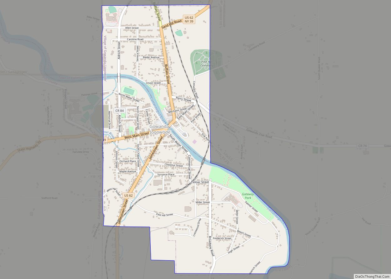
Online Interactive Map
Click on ![]() to view map in "full screen" mode.
to view map in "full screen" mode.
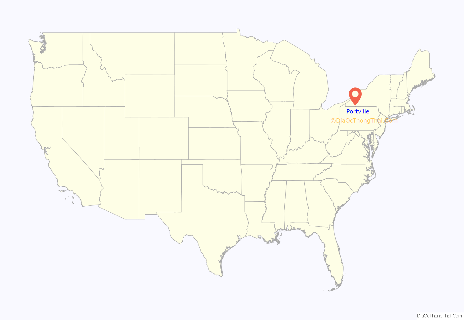
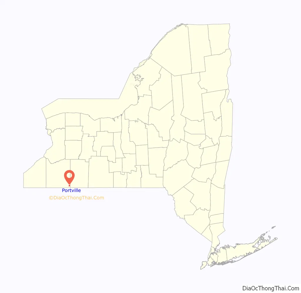
Portville location map. Where is Portville village?
History
The community, located along the Allegheny River, was first settled in 1813, with the village of Portville being incorporated in 1895. The former Genesee Valley Canal reached its southern terminus at Portville. A fire destroyed most of the business district in 1875. The village was incorporated in 1895. Portville Free Library and William E. Wheeler House are listed on the National Register of Historic Places.
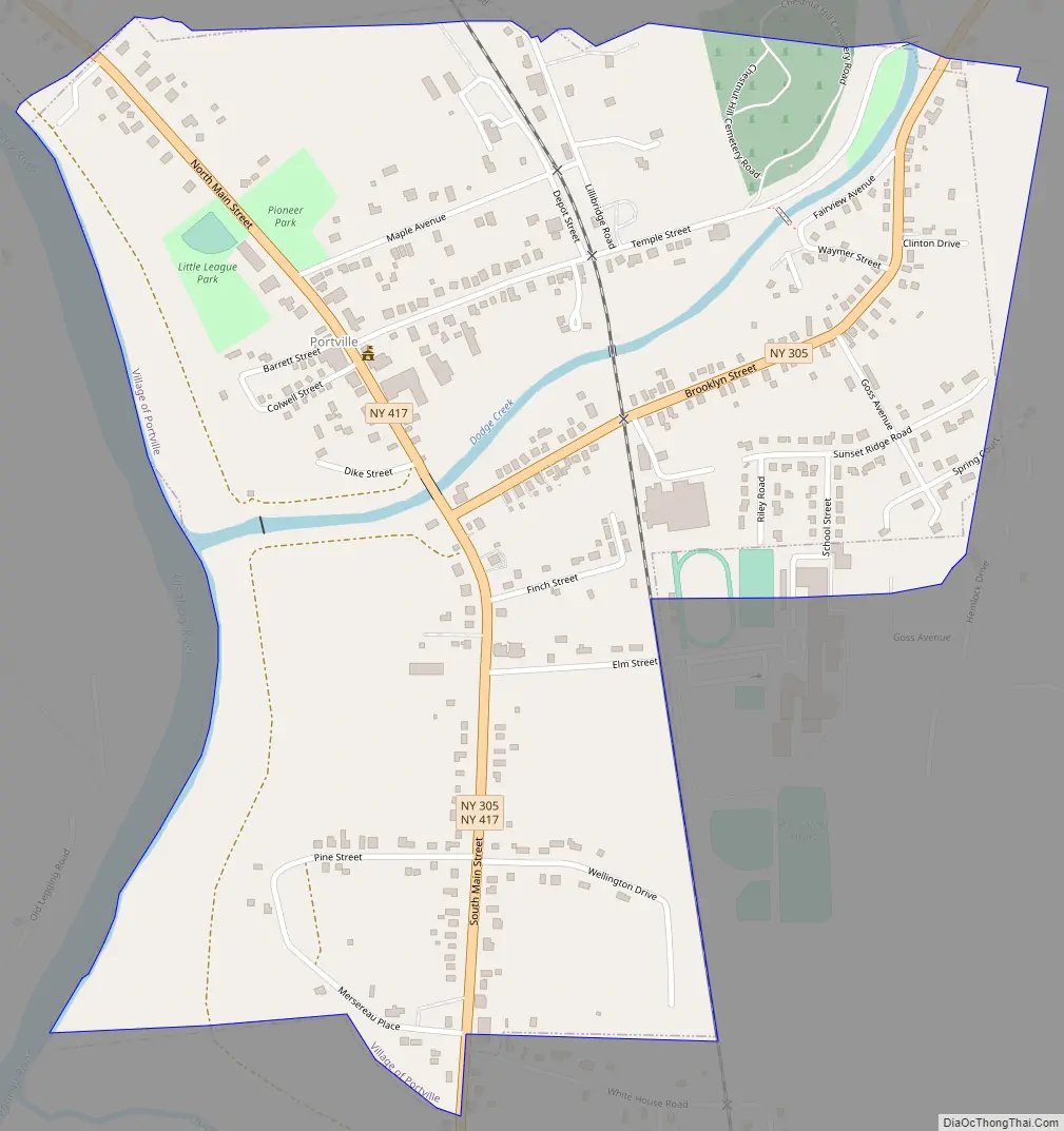
Portville Road Map
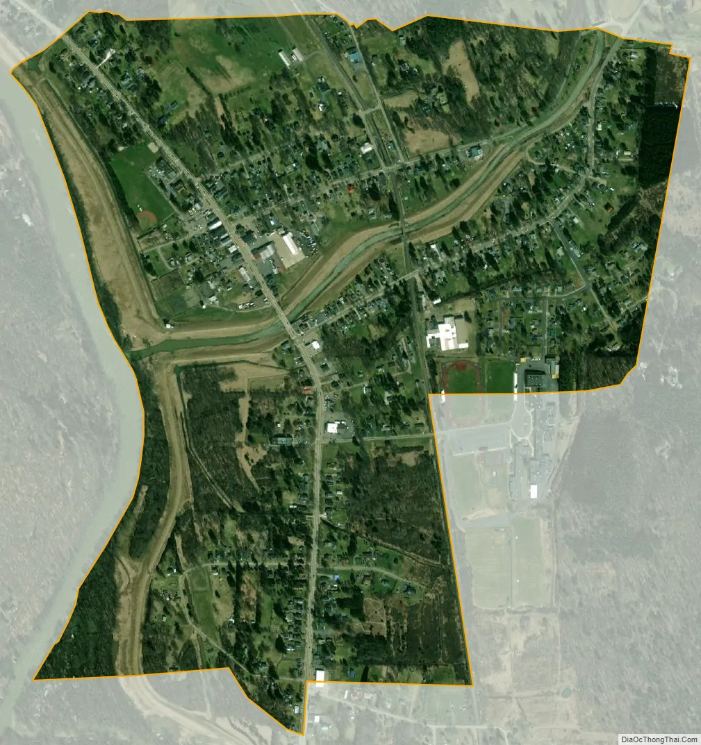
Portville city Satellite Map
Geography
According to the United States Census Bureau, the village has a total area of 0.81 square miles (2.1 km), all land. The village is on the east side of the Allegheny River and is split by Dodge Creek, which flows into the river.
New York State Route 305 and New York State Route 417 pass through the village.
See also
Map of New York State and its subdivision:- Albany
- Allegany
- Bronx
- Broome
- Cattaraugus
- Cayuga
- Chautauqua
- Chemung
- Chenango
- Clinton
- Columbia
- Cortland
- Delaware
- Dutchess
- Erie
- Essex
- Franklin
- Fulton
- Genesee
- Greene
- Hamilton
- Herkimer
- Jefferson
- Kings
- Lake Ontario
- Lewis
- Livingston
- Madison
- Monroe
- Montgomery
- Nassau
- New York
- Niagara
- Oneida
- Onondaga
- Ontario
- Orange
- Orleans
- Oswego
- Otsego
- Putnam
- Queens
- Rensselaer
- Richmond
- Rockland
- Saint Lawrence
- Saratoga
- Schenectady
- Schoharie
- Schuyler
- Seneca
- Steuben
- Suffolk
- Sullivan
- Tioga
- Tompkins
- Ulster
- Warren
- Washington
- Wayne
- Westchester
- Wyoming
- Yates
- Alabama
- Alaska
- Arizona
- Arkansas
- California
- Colorado
- Connecticut
- Delaware
- District of Columbia
- Florida
- Georgia
- Hawaii
- Idaho
- Illinois
- Indiana
- Iowa
- Kansas
- Kentucky
- Louisiana
- Maine
- Maryland
- Massachusetts
- Michigan
- Minnesota
- Mississippi
- Missouri
- Montana
- Nebraska
- Nevada
- New Hampshire
- New Jersey
- New Mexico
- New York
- North Carolina
- North Dakota
- Ohio
- Oklahoma
- Oregon
- Pennsylvania
- Rhode Island
- South Carolina
- South Dakota
- Tennessee
- Texas
- Utah
- Vermont
- Virginia
- Washington
- West Virginia
- Wisconsin
- Wyoming