Red Creek is a village in Wayne County, New York, United States. The population was 532 at the 2010 census.
The Village of Red Creek is located at the eastern edge of the Town of Wolcott and shares a border with both the Town of Sterling and Town of Victory in Cayuga County. The village is west of Syracuse and east of Rochester.
| Name: | Red Creek village |
|---|---|
| LSAD Code: | 47 |
| LSAD Description: | village (suffix) |
| State: | New York |
| County: | Wayne County |
| Incorporated: | 1852 (1852) |
| Elevation: | 341 ft (104 m) |
| Total Area: | 0.94 sq mi (2.42 km²) |
| Land Area: | 0.91 sq mi (2.35 km²) |
| Water Area: | 0.03 sq mi (0.07 km²) |
| Total Population: | 495 |
| Population Density: | 544.55/sq mi (210.34/km²) |
| ZIP code: | 13143 |
| Area code: | 315 and 680 |
| FIPS code: | 3660829 |
| GNISfeature ID: | 0962279 |
| Website: | http://www.wolcottny.org/village-of-red-creek.html |
Online Interactive Map
Click on ![]() to view map in "full screen" mode.
to view map in "full screen" mode.
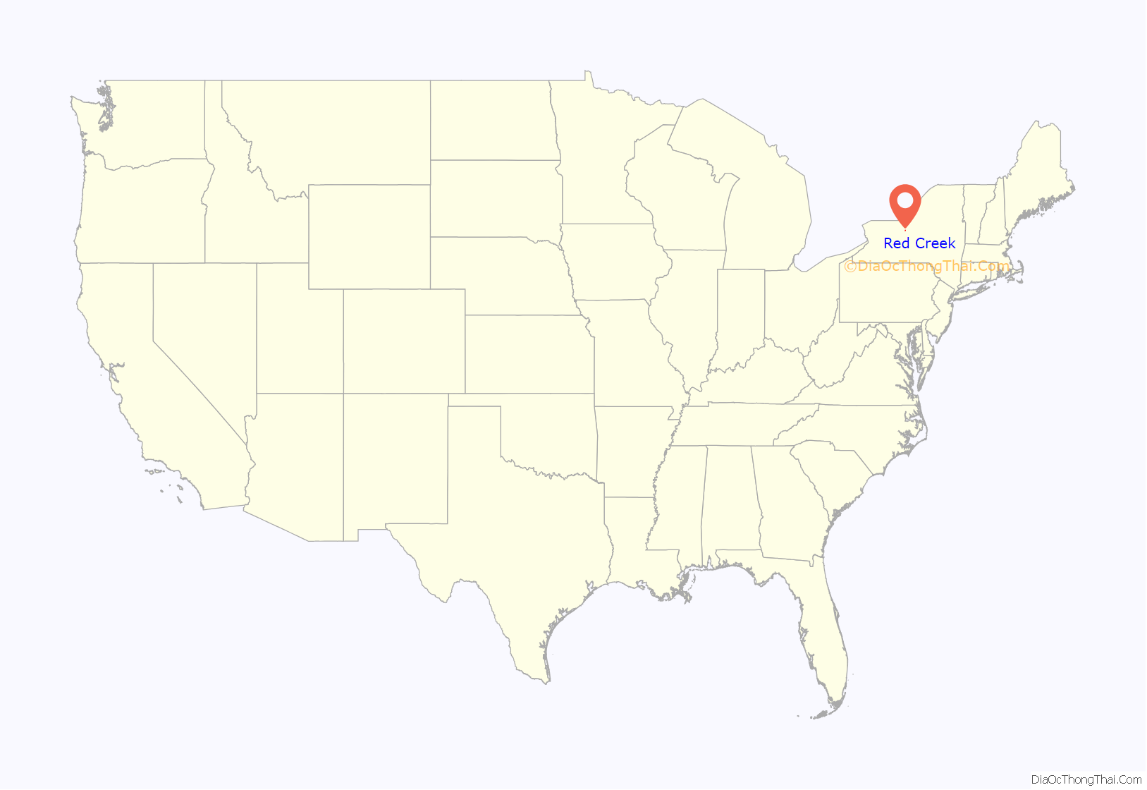
Red Creek location map. Where is Red Creek village?
History
The village was permanently settled circa 1811 and was originally called “Jacksonville” after Andrew Jackson. The name was changed to “Red Creek” in approximately 1836.
The name change was attributed to the creek which passes through its entirety. Originally, Big Red and Little Red Creeks were believed to be named from the waters color, which was tainted from passing over iron ore that richly runs throughout the water bed.
Local lore explains the origin of the name Red Creek. At one time, a tannery occupied the spot on the north side of the falls. As part of the tanning process, dye was used to tan skins. Dye was disposed of in the pond which then flowed over the dam’s falls, coloring it red.
The village was incorporated in 1852. In 1874, most of the business district was consumed by fire.
Red Creek Road Map
Red Creek city Satellite Map
Geography
Red Creek is located at 43°14′52″N 76°43′22″W / 43.24778°N 76.72278°W / 43.24778; -76.72278 (43.247848, -76.722786).
According to the United States Census Bureau, the village has a total area of 0.9 square miles (2.3 km), of which 0.9 square miles (2.3 km) is land and 0.04 square miles (0.10 km) (2.13%) is water.
The village is at the border of Cayuga County.
Red Creek is also the name of the creek that flows through the community, and dammed to form a small pond on the south edge of the village.
New York State Route 104A passes through the village in a north–south direction as “Wolcott Street,” “Water Street,” and “Main Street.”
See also
Map of New York State and its subdivision:- Albany
- Allegany
- Bronx
- Broome
- Cattaraugus
- Cayuga
- Chautauqua
- Chemung
- Chenango
- Clinton
- Columbia
- Cortland
- Delaware
- Dutchess
- Erie
- Essex
- Franklin
- Fulton
- Genesee
- Greene
- Hamilton
- Herkimer
- Jefferson
- Kings
- Lake Ontario
- Lewis
- Livingston
- Madison
- Monroe
- Montgomery
- Nassau
- New York
- Niagara
- Oneida
- Onondaga
- Ontario
- Orange
- Orleans
- Oswego
- Otsego
- Putnam
- Queens
- Rensselaer
- Richmond
- Rockland
- Saint Lawrence
- Saratoga
- Schenectady
- Schoharie
- Schuyler
- Seneca
- Steuben
- Suffolk
- Sullivan
- Tioga
- Tompkins
- Ulster
- Warren
- Washington
- Wayne
- Westchester
- Wyoming
- Yates
- Alabama
- Alaska
- Arizona
- Arkansas
- California
- Colorado
- Connecticut
- Delaware
- District of Columbia
- Florida
- Georgia
- Hawaii
- Idaho
- Illinois
- Indiana
- Iowa
- Kansas
- Kentucky
- Louisiana
- Maine
- Maryland
- Massachusetts
- Michigan
- Minnesota
- Mississippi
- Missouri
- Montana
- Nebraska
- Nevada
- New Hampshire
- New Jersey
- New Mexico
- New York
- North Carolina
- North Dakota
- Ohio
- Oklahoma
- Oregon
- Pennsylvania
- Rhode Island
- South Carolina
- South Dakota
- Tennessee
- Texas
- Utah
- Vermont
- Virginia
- Washington
- West Virginia
- Wisconsin
- Wyoming
