Richburg is a village in Allegany County, New York, United States. The population was 450 at the 2010 census. The village is partly within the boundaries of the towns of Wirt and Bolivar. The community is east of Olean.
| Name: | Richburg village |
|---|---|
| LSAD Code: | 47 |
| LSAD Description: | village (suffix) |
| State: | New York |
| County: | Allegany County |
| Elevation: | 1,660 ft (506 m) |
| Total Area: | 0.90 sq mi (2.33 km²) |
| Land Area: | 0.90 sq mi (2.33 km²) |
| Water Area: | 0.00 sq mi (0.00 km²) |
| Total Population: | 401 |
| Population Density: | 445.56/sq mi (172.00/km²) |
| ZIP code: | 14774 |
| Area code: | 585 |
| FIPS code: | 3661434 |
| GNISfeature ID: | 0962466 |
| Website: | richburgny.org |
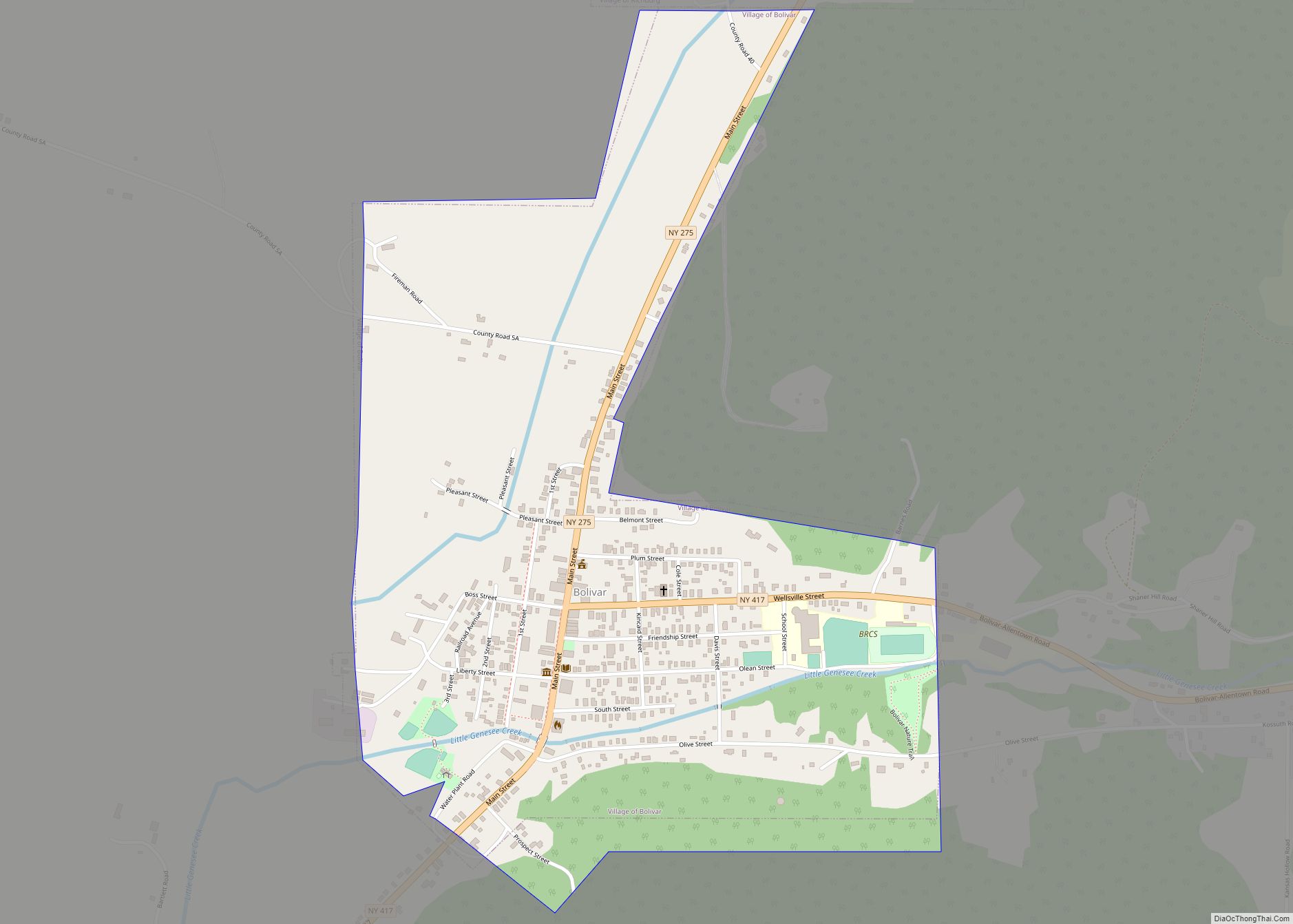
Online Interactive Map
Click on ![]() to view map in "full screen" mode.
to view map in "full screen" mode.
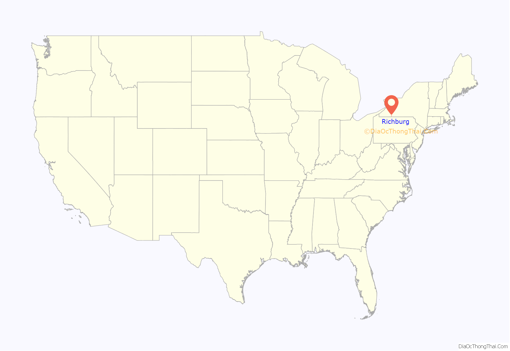
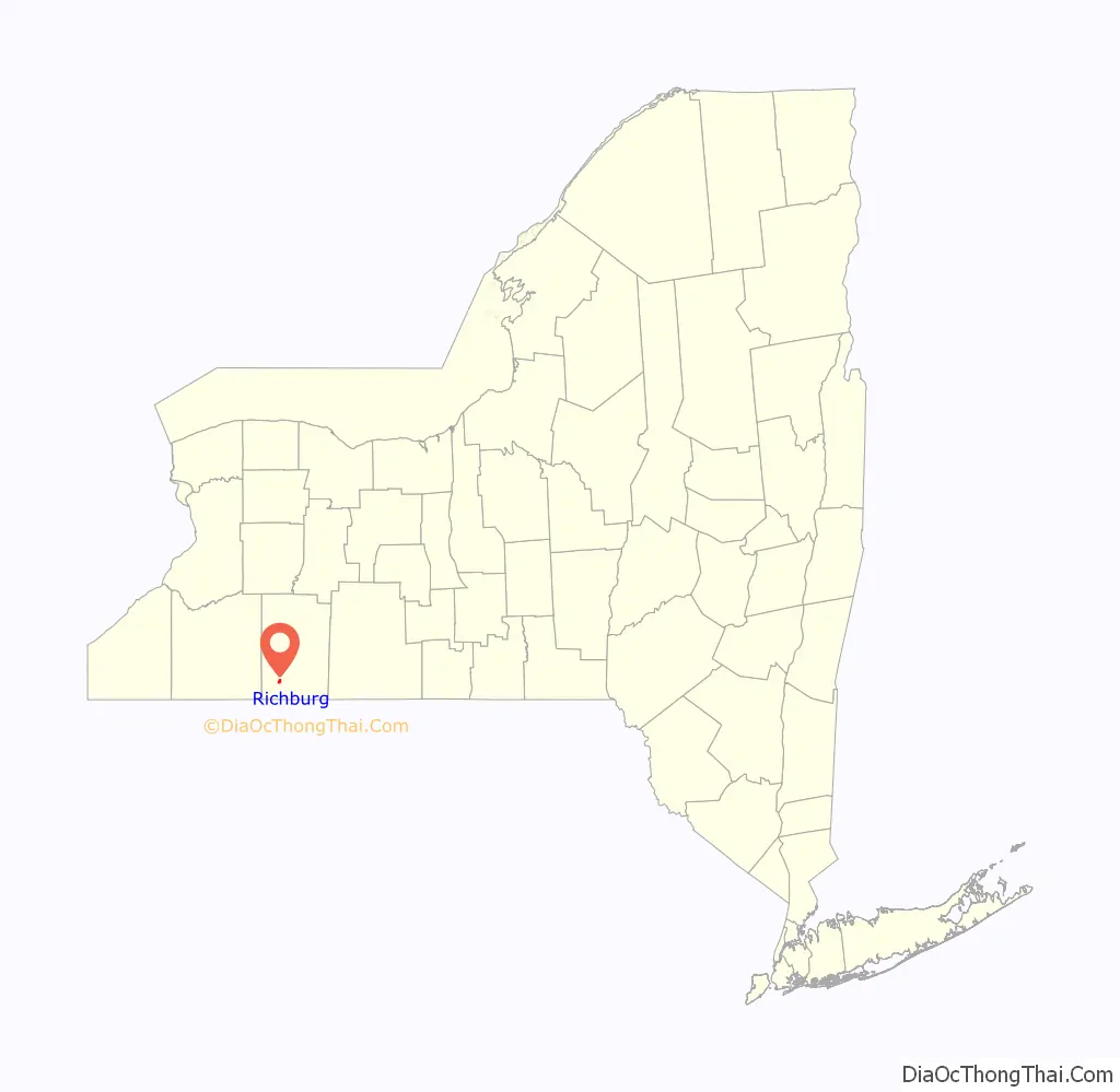
Richburg location map. Where is Richburg village?
History
Richburg was incorporated in 1881 and was for a time a petroleum “boom town”. L. Frank Baum, later the author of The Wonderful Wizard of Oz and other stories, was manager of a theater, Baum’s Opera House, in Richburg from 1881 to 1882. Baum’s Opera House was built by Baum’s father, an oil executive. Unfortunately, the theater burned in March 1882.
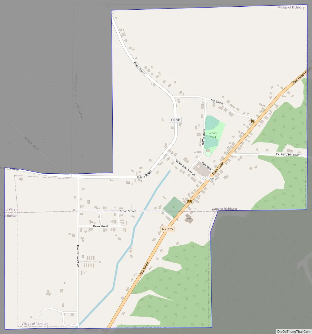
Richburg Road Map
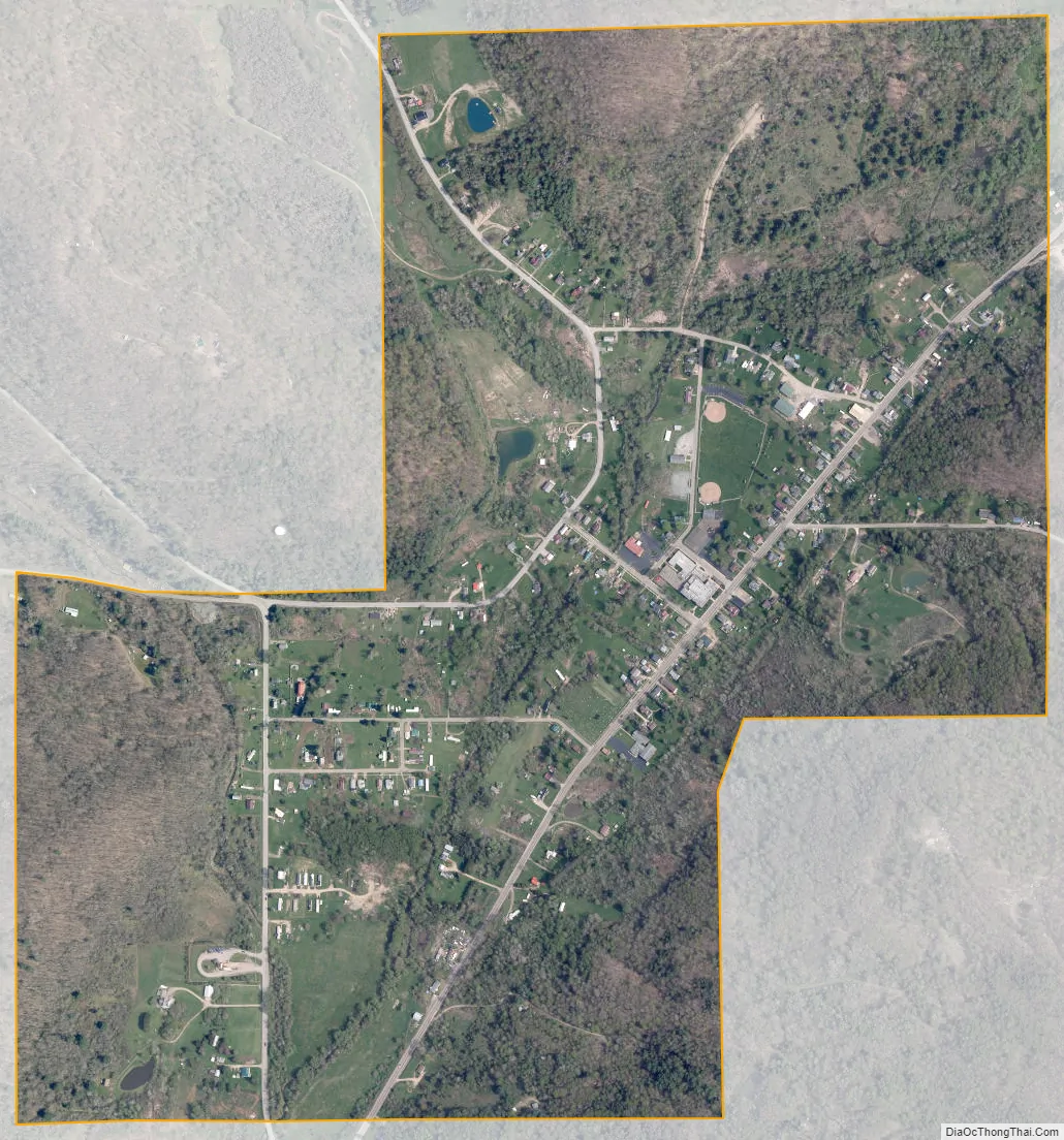
Richburg city Satellite Map
Geography
Richburg is located in the southern part of Wirt and the northern part of Bolivar in southwestern Allegany County, at 42°5′14″N 78°9′22″W / 42.08722°N 78.15611°W / 42.08722; -78.15611 (42.087226, -78.156080).
Little Genesee Creek, part of the Allegheny River watershed, flows through the village, which is located at the junction of New York State Route 275 and County Road 40.
Richburg was served (1881–1890 and c.1906-1946) by the Pittsburg, Shawmut & Northern Railroad (PS&N) and predecessors, and (1881–1885) by the Bradford, Eldred & Cuba Railroad System (BE&C). The early PS&N predecessors and the BE&C were 36-inch (910 mm) narrow-gauge railroads, while the PS&N was a standard-gauge railroad. The Pittsburg, Shawmut & Northern Railroad embargoed operation through Richburg in 1946 and was abandoned by order of the Interstate Commerce Commission in 1946 to further promote highway motor truck transportation.
According to the United States Census Bureau, the village has a total area of 0.90 square miles (2.33 km), all land.
See also
Map of New York State and its subdivision:- Albany
- Allegany
- Bronx
- Broome
- Cattaraugus
- Cayuga
- Chautauqua
- Chemung
- Chenango
- Clinton
- Columbia
- Cortland
- Delaware
- Dutchess
- Erie
- Essex
- Franklin
- Fulton
- Genesee
- Greene
- Hamilton
- Herkimer
- Jefferson
- Kings
- Lake Ontario
- Lewis
- Livingston
- Madison
- Monroe
- Montgomery
- Nassau
- New York
- Niagara
- Oneida
- Onondaga
- Ontario
- Orange
- Orleans
- Oswego
- Otsego
- Putnam
- Queens
- Rensselaer
- Richmond
- Rockland
- Saint Lawrence
- Saratoga
- Schenectady
- Schoharie
- Schuyler
- Seneca
- Steuben
- Suffolk
- Sullivan
- Tioga
- Tompkins
- Ulster
- Warren
- Washington
- Wayne
- Westchester
- Wyoming
- Yates
- Alabama
- Alaska
- Arizona
- Arkansas
- California
- Colorado
- Connecticut
- Delaware
- District of Columbia
- Florida
- Georgia
- Hawaii
- Idaho
- Illinois
- Indiana
- Iowa
- Kansas
- Kentucky
- Louisiana
- Maine
- Maryland
- Massachusetts
- Michigan
- Minnesota
- Mississippi
- Missouri
- Montana
- Nebraska
- Nevada
- New Hampshire
- New Jersey
- New Mexico
- New York
- North Carolina
- North Dakota
- Ohio
- Oklahoma
- Oregon
- Pennsylvania
- Rhode Island
- South Carolina
- South Dakota
- Tennessee
- Texas
- Utah
- Vermont
- Virginia
- Washington
- West Virginia
- Wisconsin
- Wyoming