Rifton is a hamlet (and census-designated place) in Ulster County, New York, United States. The population was 481 at the 2020 census.
Rifton is home to the Woodcrest Bruderhof and is located near the western town line of the Town of Esopus on Route 213.
| Name: | Rifton CDP |
|---|---|
| LSAD Code: | 57 |
| LSAD Description: | CDP (suffix) |
| State: | New York |
| County: | Ulster County |
| Elevation: | 180 ft (55 m) |
| Total Area: | 1.24 sq mi (3.21 km²) |
| Land Area: | 1.24 sq mi (3.21 km²) |
| Water Area: | 0.00 sq mi (0.00 km²) |
| Total Population: | 481 |
| Population Density: | 387.90/sq mi (149.83/km²) |
| ZIP code: | 12471 |
| Area code: | 845 |
| FIPS code: | 3661797 |
| GNISfeature ID: | 0962517 |
Online Interactive Map
Click on ![]() to view map in "full screen" mode.
to view map in "full screen" mode.
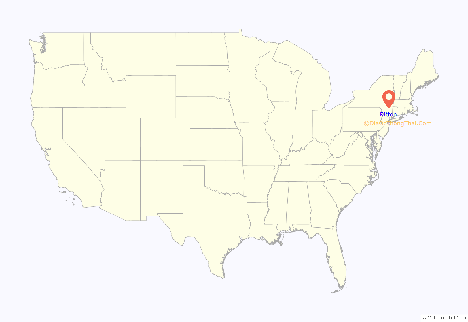
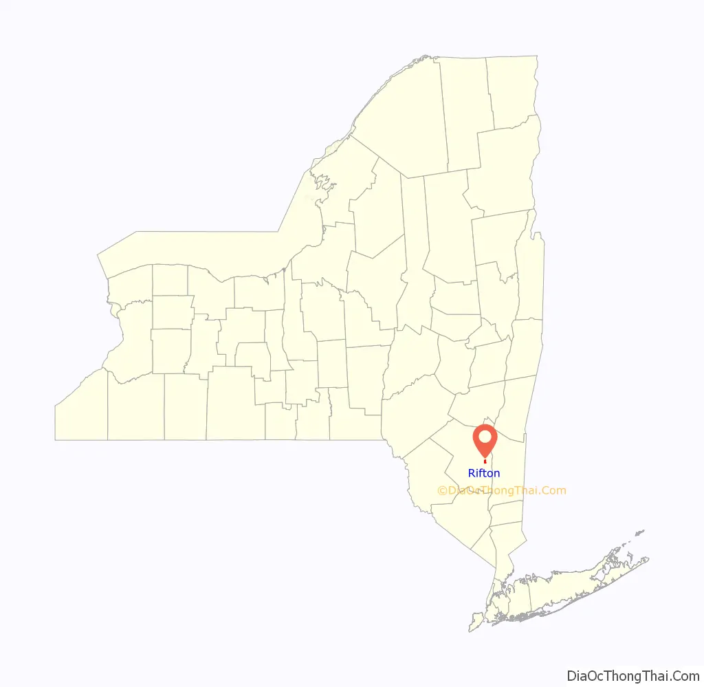
Rifton location map. Where is Rifton CDP?
History
Rifton had its beginnings as a smattering of several hamlets and communities. Dashville hamlet was the first of the hamlets to be settled. By 1824, several mills had been built along the Wallkill by Ezekiel Eltinge. In 1861, Jeremiah W. Dimick bought the mill in Arnoldton and renamed the community Rifton Glen. Swartekill hamlet was so named because of its location on the Swartekill Creek where it meets the Wallkill. The hamlet was home to powder mills as early as 1865.
Rifton was incorporated as a village on May 20, 1901, encompassing what had been the hamlets of Rifton Glen, Swartekill, and Dashville and the communities of Saltpeterville, and Perrine’s Bridge. After the village’s mills closed, the state legislature dissolved the village in 1919.
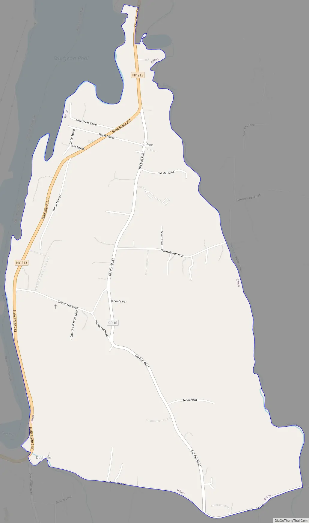
Rifton Road Map
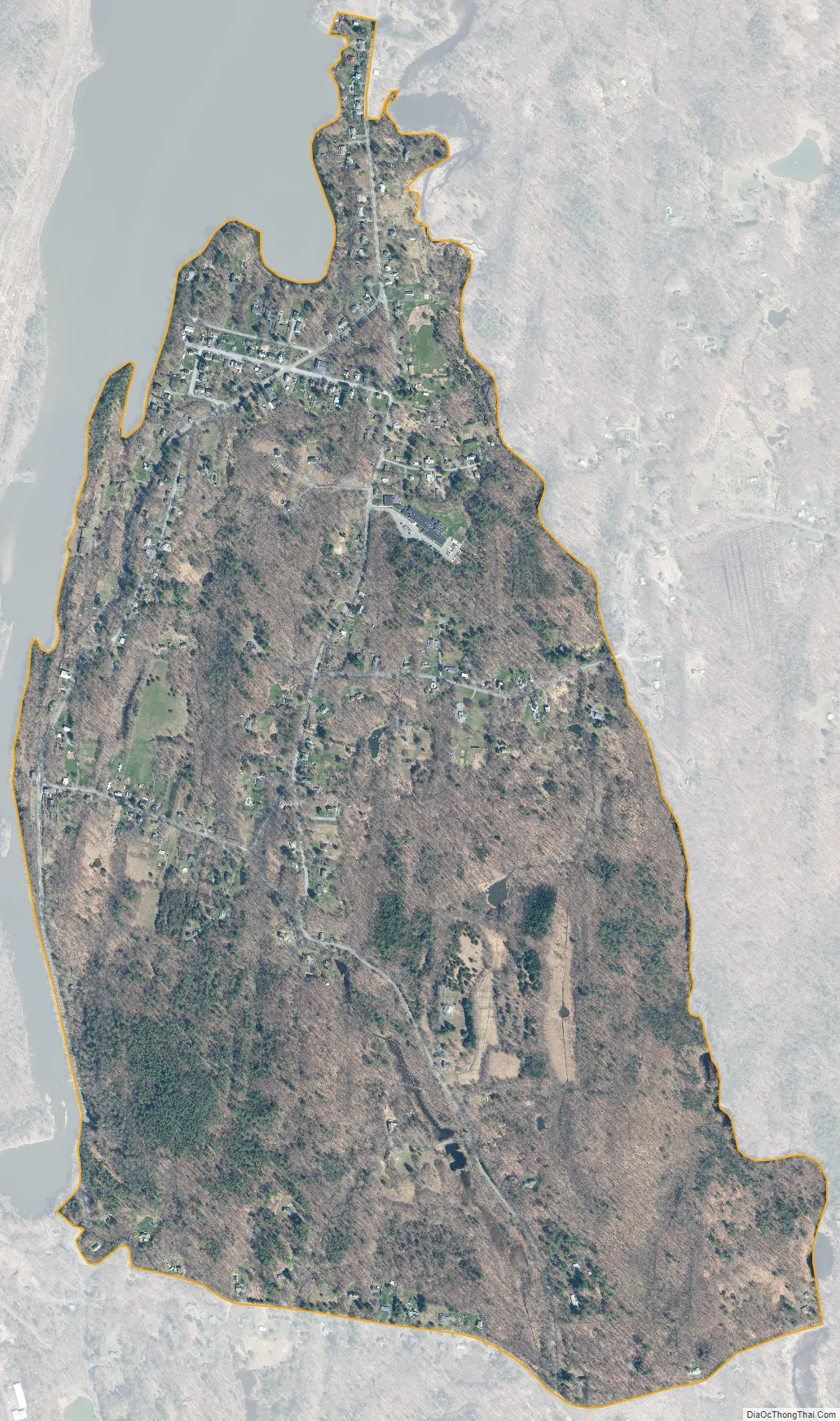
Rifton city Satellite Map
Geography
Rifton is located at 41°50′0″N 74°2′32″W / 41.83333°N 74.04222°W / 41.83333; -74.04222 (41.833298, -74.042101).
According to the United States Census Bureau, the CDP has a total area of 1.2 square miles (3.1 km), all land.
See also
Map of New York State and its subdivision:- Albany
- Allegany
- Bronx
- Broome
- Cattaraugus
- Cayuga
- Chautauqua
- Chemung
- Chenango
- Clinton
- Columbia
- Cortland
- Delaware
- Dutchess
- Erie
- Essex
- Franklin
- Fulton
- Genesee
- Greene
- Hamilton
- Herkimer
- Jefferson
- Kings
- Lake Ontario
- Lewis
- Livingston
- Madison
- Monroe
- Montgomery
- Nassau
- New York
- Niagara
- Oneida
- Onondaga
- Ontario
- Orange
- Orleans
- Oswego
- Otsego
- Putnam
- Queens
- Rensselaer
- Richmond
- Rockland
- Saint Lawrence
- Saratoga
- Schenectady
- Schoharie
- Schuyler
- Seneca
- Steuben
- Suffolk
- Sullivan
- Tioga
- Tompkins
- Ulster
- Warren
- Washington
- Wayne
- Westchester
- Wyoming
- Yates
- Alabama
- Alaska
- Arizona
- Arkansas
- California
- Colorado
- Connecticut
- Delaware
- District of Columbia
- Florida
- Georgia
- Hawaii
- Idaho
- Illinois
- Indiana
- Iowa
- Kansas
- Kentucky
- Louisiana
- Maine
- Maryland
- Massachusetts
- Michigan
- Minnesota
- Mississippi
- Missouri
- Montana
- Nebraska
- Nevada
- New Hampshire
- New Jersey
- New Mexico
- New York
- North Carolina
- North Dakota
- Ohio
- Oklahoma
- Oregon
- Pennsylvania
- Rhode Island
- South Carolina
- South Dakota
- Tennessee
- Texas
- Utah
- Vermont
- Virginia
- Washington
- West Virginia
- Wisconsin
- Wyoming


