Rock Hill is a hamlet (and census-designated place) in Sullivan County, New York, United States. At the 2010 census the population was 1,742.
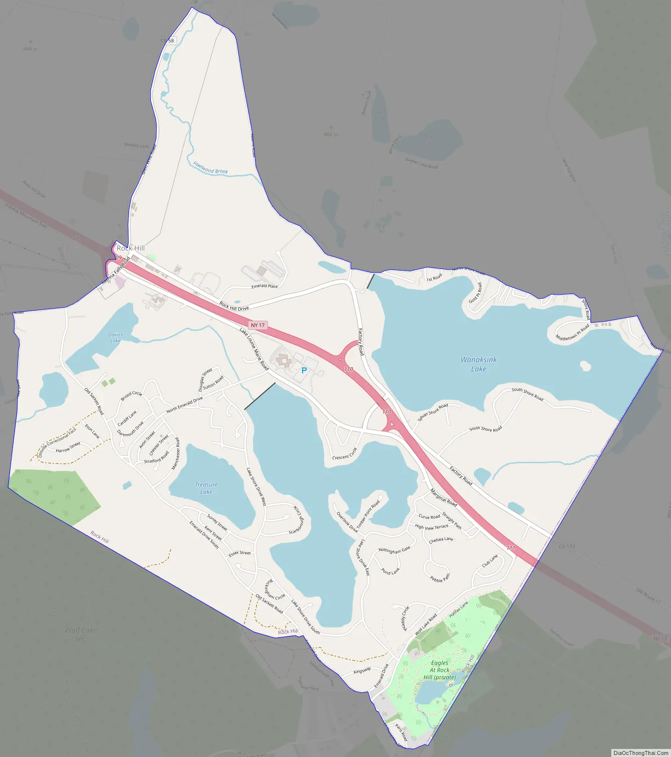
Rock Hill is in the town of Thompson by New York State Route 17.
| Name: | Rock Hill CDP |
|---|---|
| LSAD Code: | 57 |
| LSAD Description: | CDP (suffix) |
| State: | New York |
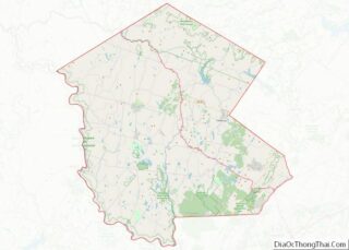
| County: | Sullivan County |
| Elevation: | 1,378 ft (420 m) |
| Total Area: | 9.64 sq mi (24.98 km²) |
| Land Area: | 8.59 sq mi (22.25 km²) |
| Water Area: | 1.05 sq mi (2.72 km²) |
| Total Population: | 2,369 |
| Population Density: | 275.75/sq mi (106.46/km²) |
| ZIP code: | 12775 |
| Area code: | 845 |
| FIPS code: | 3663132 |
| GNISfeature ID: | 0962702 |
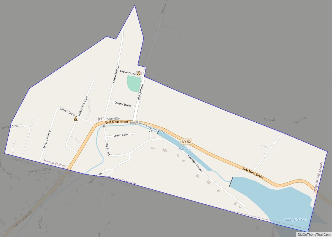
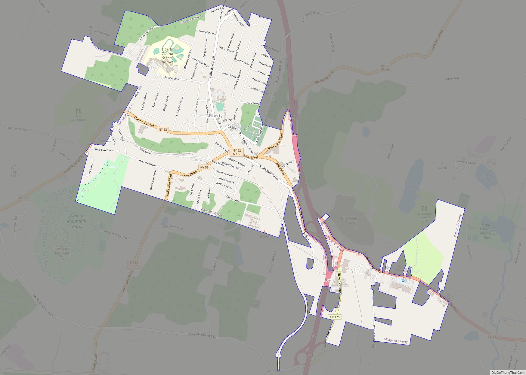
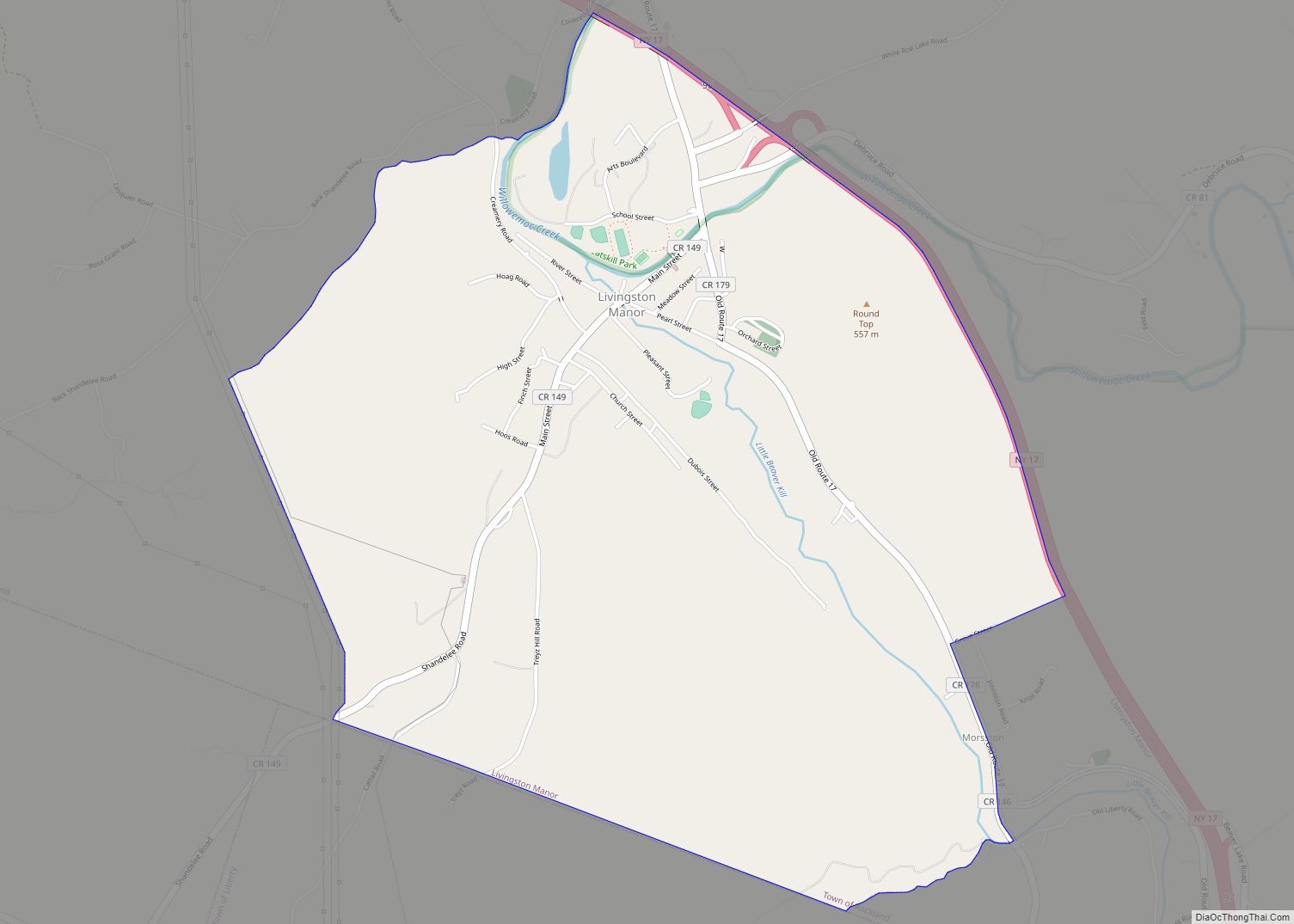
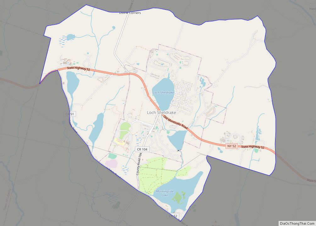
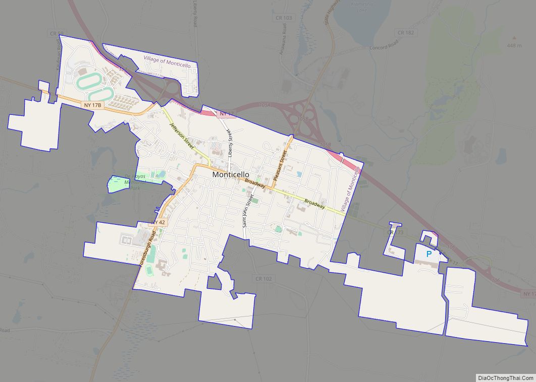
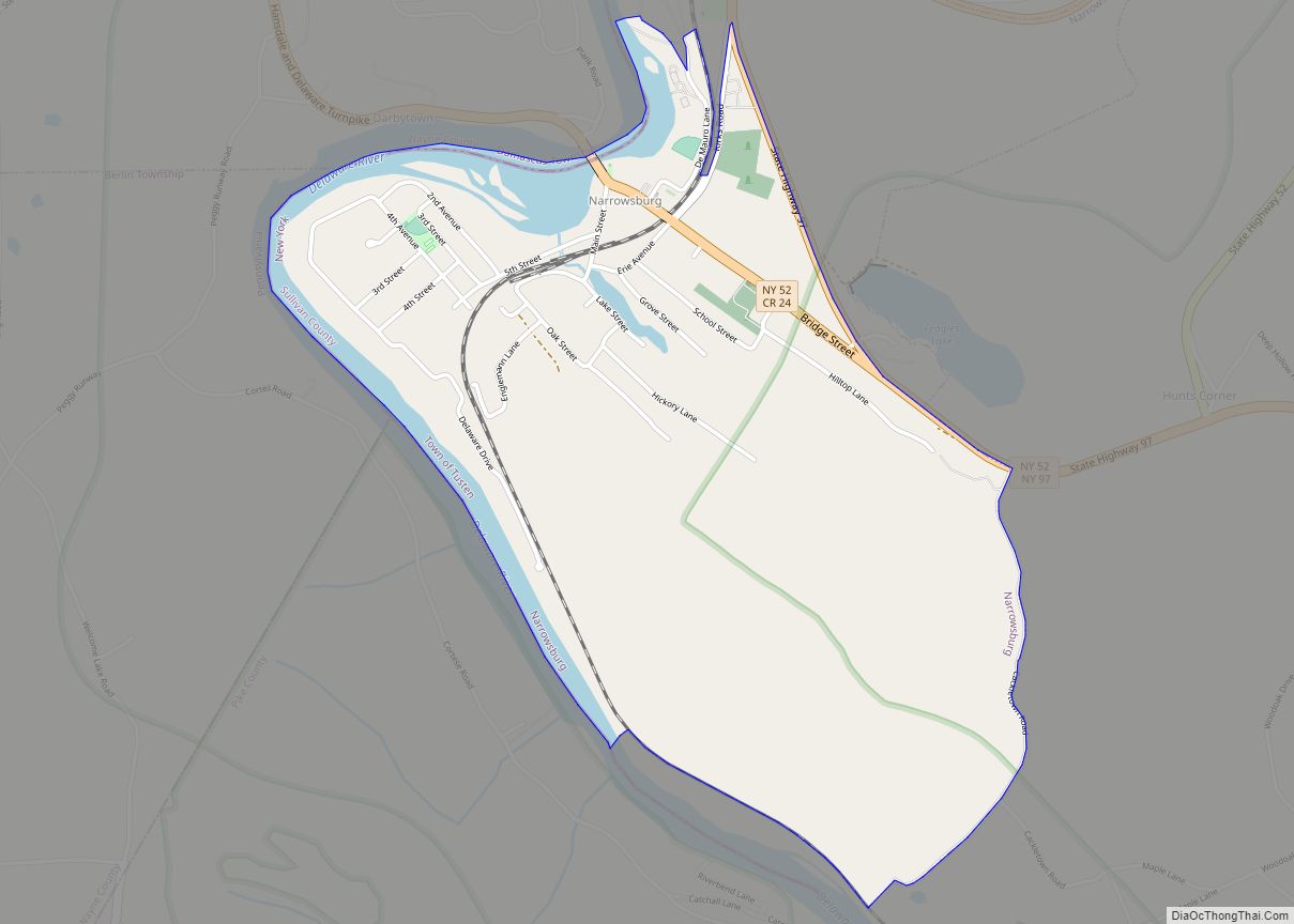
Online Interactive Map
Click on ![]() to view map in "full screen" mode.
to view map in "full screen" mode.
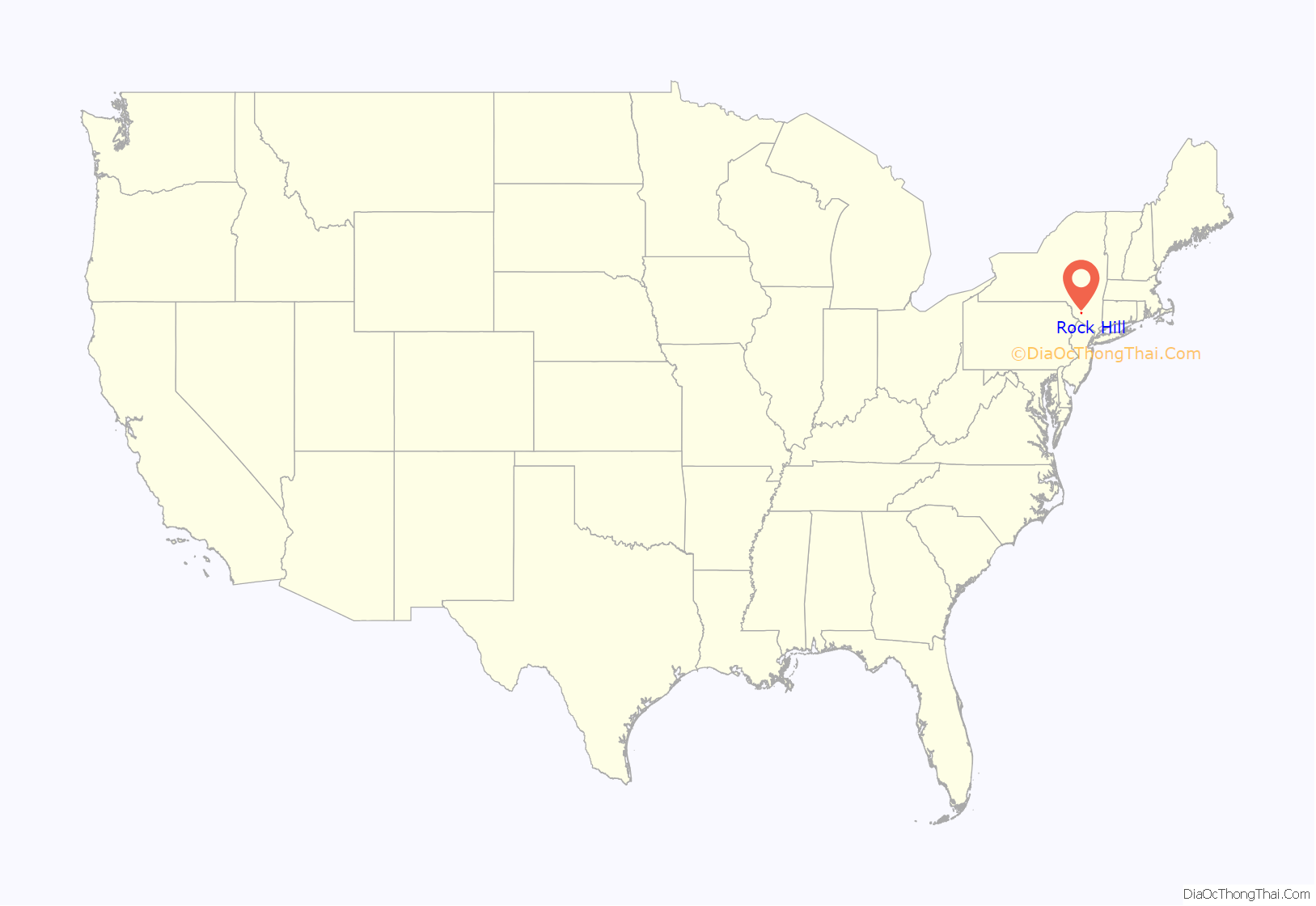
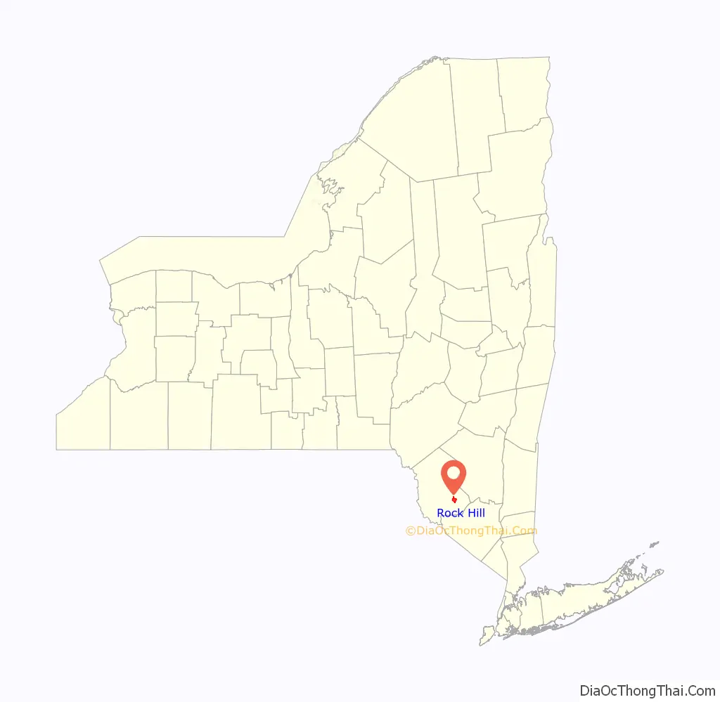
Rock Hill location map. Where is Rock Hill CDP?
History
The hamlet of Rock Hill was not named so until October 1885, after the Katrina Falls Road post office was erected on top of a high, rocky cliff. Rock Hill was formally part of Bridgeville.
Following the COVID-19 pandemic in 2020, there has been a significant increase in demand for homes in the Catskills in general and Rock Hill in particular.
Rock Hill Road Map
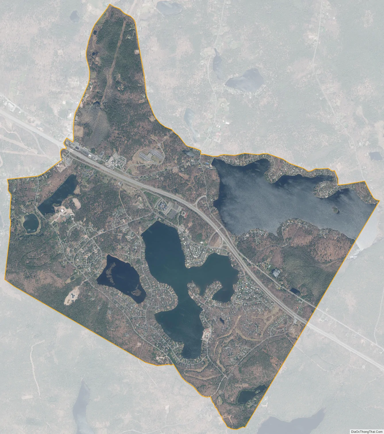
Rock Hill city Satellite Map
Geography
Rock Hill is located at 41°36′38″N 74°35′08″W / 41.610533°N 74.585601°W / 41.610533; -74.585601.
According to the United States Census Bureau, the CDP has a total area of 4.6 square miles (12 km), of which 3.7 square miles (9.6 km) is land and 0.9 square miles (2.3 km) (19.61%) is water.
There are four main lakes in Rock Hill: Wanaksink Lake, Treasure Lake, Wolf Lake and Lake Louise Marie.
See also
Map of New York State and its subdivision:- Albany
- Allegany
- Bronx
- Broome
- Cattaraugus
- Cayuga
- Chautauqua
- Chemung
- Chenango
- Clinton
- Columbia
- Cortland
- Delaware
- Dutchess
- Erie
- Essex
- Franklin
- Fulton
- Genesee
- Greene
- Hamilton
- Herkimer
- Jefferson
- Kings
- Lake Ontario
- Lewis
- Livingston
- Madison
- Monroe
- Montgomery
- Nassau
- New York
- Niagara
- Oneida
- Onondaga
- Ontario
- Orange
- Orleans
- Oswego
- Otsego
- Putnam
- Queens
- Rensselaer
- Richmond
- Rockland
- Saint Lawrence
- Saratoga
- Schenectady
- Schoharie
- Schuyler
- Seneca
- Steuben
- Suffolk
- Sullivan
- Tioga
- Tompkins
- Ulster
- Warren
- Washington
- Wayne
- Westchester
- Wyoming
- Yates
- Alabama
- Alaska
- Arizona
- Arkansas
- California
- Colorado
- Connecticut
- Delaware
- District of Columbia
- Florida
- Georgia
- Hawaii
- Idaho
- Illinois
- Indiana
- Iowa
- Kansas
- Kentucky
- Louisiana
- Maine
- Maryland
- Massachusetts
- Michigan
- Minnesota
- Mississippi
- Missouri
- Montana
- Nebraska
- Nevada
- New Hampshire
- New Jersey
- New Mexico
- New York
- North Carolina
- North Dakota
- Ohio
- Oklahoma
- Oregon
- Pennsylvania
- Rhode Island
- South Carolina
- South Dakota
- Tennessee
- Texas
- Utah
- Vermont
- Virginia
- Washington
- West Virginia
- Wisconsin
- Wyoming