Roslyn Heights is a hamlet and census-designated place (CDP) in the Town of North Hempstead in Nassau County, on Long Island, in New York, United States. It is considered part of the Greater Roslyn area, which is anchored by the Incorporated Village of Roslyn. The population was 6,577 at the 2010 census.
| Name: | Roslyn Heights CDP |
|---|---|
| LSAD Code: | 57 |
| LSAD Description: | CDP (suffix) |
| State: | New York |
| County: | Nassau County |
| Elevation: | 174 ft (53 m) |
| Total Area: | 1.48 sq mi (3.82 km²) |
| Land Area: | 1.48 sq mi (3.82 km²) |
| Water Area: | 0.00 sq mi (0.00 km²) |
| Total Population: | 6,747 |
| Population Density: | 4,571.14/sq mi (1,765.50/km²) |
| ZIP code: | 11507, 11577 |
| FIPS code: | 3663814 |
| GNISfeature ID: | 0962934 |
| Website: | www.roslynchamber.org |
Online Interactive Map
Click on ![]() to view map in "full screen" mode.
to view map in "full screen" mode.
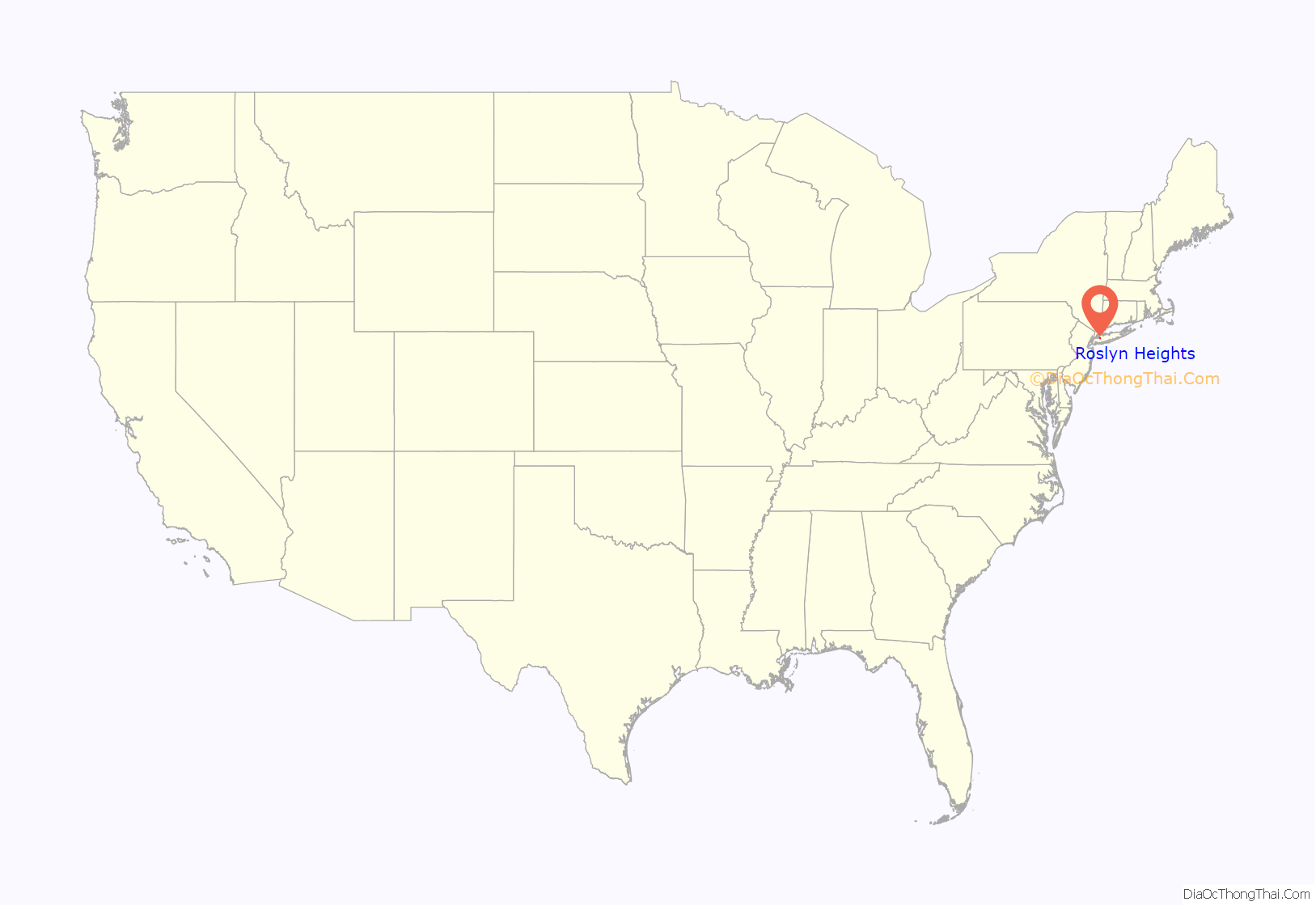
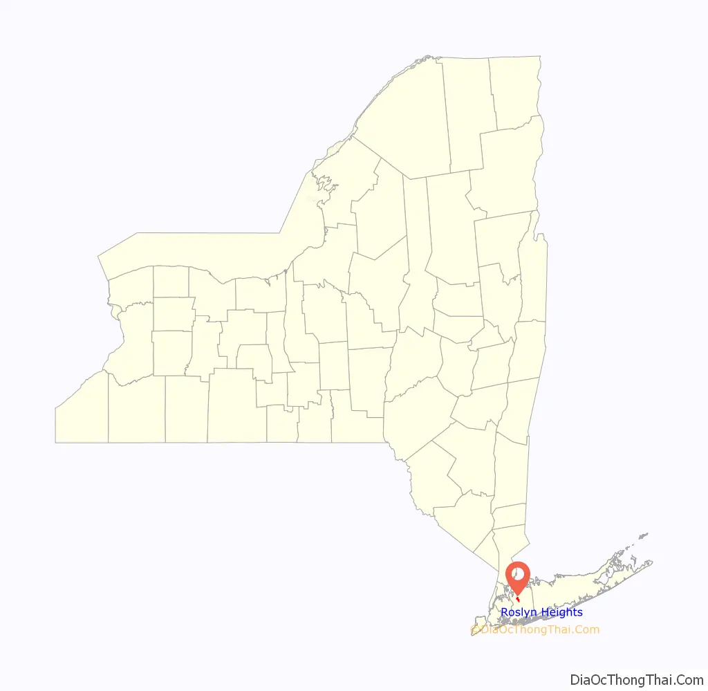
Roslyn Heights location map. Where is Roslyn Heights CDP?
History
Roslyn Heights saw a major economic boom in the 1860s shortly after the Long Island Rail Road’s Oyster Bay Branch was built through and opened in the area.
Starting in 1892, corporation was started to develop the northwestern section of the hamlet. Members of this development corporation included lawyers, bankers, and developers. This development, which was named Roslyn Highlands, was largely unsuccessful. Eventually, the western portion of the proposed Roslyn Highlands development was developed using the name of Roslyn Highlands while the eastern part was developed using the name of Roslyn Heights. These names were used for the respective sections until the whole area became known as Roslyn Heights in the late 1920s.
On July 18, 1913, the Roslyn Heights Post Office opened. It moved to its present location at 66 Mineola Avenue in 1967, with the dedication ceremony taking place on Sunday, July 30, 1967.
In the 1950s and 1960s, the area of Roslyn Heights south of the Northern State Parkway known as Roslyn Country Club proposed incorporating itself as a village, citing the desire for home rule the first time in the 1950s and their dissatisfaction with Nassau County’s plans to widen Roslyn Road the second time in the 1960s. These proposals were ultimately unsuccessful, and all of Roslyn Heights remains an unincorporated hamlet within and directly governed by the Town of North Hempstead to this day.
A major urban renewal project also took place in the northeastern part of the hamlet during the 20th Century – specifically the area around the Roslyn Long Island Rail Road station known as Roslyn Plaza. The Roslyn Plaza Urban Renewal Project began in the early 1970s and the final phase broke ground in 1983. This project was carried out by the Town of North Hempstead.
The “Roslyn” part of its name is shared with Roslyn, Roslyn Estates, and Roslyn Harbor, and ultimately can be traced back to when the name “Roslyn” was chosen for that village, which was chosen because the geography in Roslyn reminded officials of the geography of Roslin, Scotland. The “Heights” part of its name reflects the name of the portion of the area developed using the name Roslyn Heights, which is ultimately the name which the Roslyn Heights Post Office opted to use when it was established in 1913.
Historically, like many other parts of the Greater Roslyn area, what is now known as Roslyn Heights was known as Hempstead Harbor until that name was changed to Roslyn in the 1840s.
Roslyn Heights Road Map
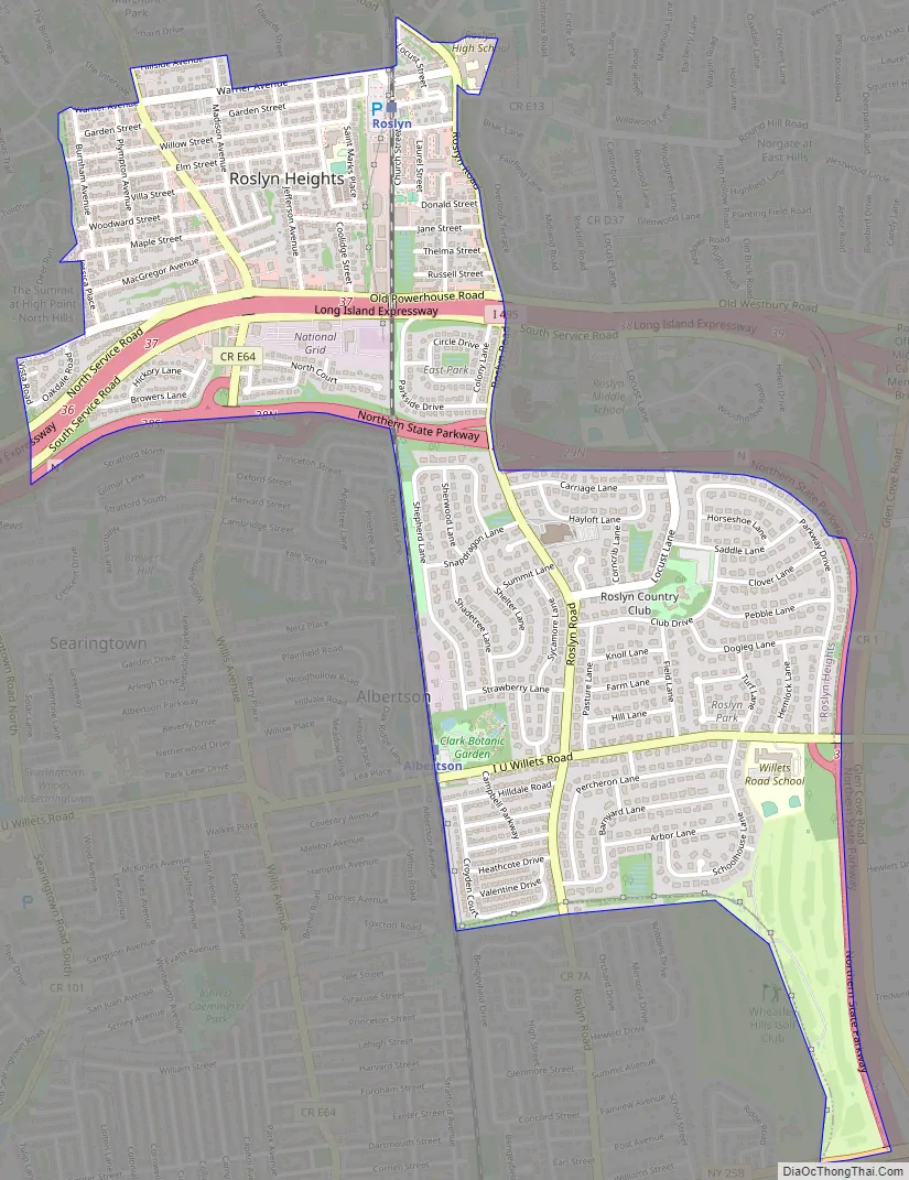
Roslyn Heights city Satellite Map

Geography
According to the United States Census Bureau, the CDP has a total area of 1.5 square miles (3.9 km), all of it land.
Roslyn Roslyn Heights is split between three minor drainage areas: Inner Hempstead Harbor (part of the Hempstead Harbor Watershed), Hempstead Lake, and Mill River (the latter two being part of the Mill River Watershed), and is located within the larger Long Island Sound/Atlantic Ocean Watershed.
According to the United States Environmental Protection Agency and the United States Geological Survey, the highest point in Roslyn Heights is located at its northern border with Roslyn on Hillside Avenue, at approximately 210 feet (64 m), and the lowest point is located near its southeastern border, near the Wheatley Hills Golf Club, at approximately 100–110 feet (30–34 m).
See also
Map of New York State and its subdivision:- Albany
- Allegany
- Bronx
- Broome
- Cattaraugus
- Cayuga
- Chautauqua
- Chemung
- Chenango
- Clinton
- Columbia
- Cortland
- Delaware
- Dutchess
- Erie
- Essex
- Franklin
- Fulton
- Genesee
- Greene
- Hamilton
- Herkimer
- Jefferson
- Kings
- Lake Ontario
- Lewis
- Livingston
- Madison
- Monroe
- Montgomery
- Nassau
- New York
- Niagara
- Oneida
- Onondaga
- Ontario
- Orange
- Orleans
- Oswego
- Otsego
- Putnam
- Queens
- Rensselaer
- Richmond
- Rockland
- Saint Lawrence
- Saratoga
- Schenectady
- Schoharie
- Schuyler
- Seneca
- Steuben
- Suffolk
- Sullivan
- Tioga
- Tompkins
- Ulster
- Warren
- Washington
- Wayne
- Westchester
- Wyoming
- Yates
- Alabama
- Alaska
- Arizona
- Arkansas
- California
- Colorado
- Connecticut
- Delaware
- District of Columbia
- Florida
- Georgia
- Hawaii
- Idaho
- Illinois
- Indiana
- Iowa
- Kansas
- Kentucky
- Louisiana
- Maine
- Maryland
- Massachusetts
- Michigan
- Minnesota
- Mississippi
- Missouri
- Montana
- Nebraska
- Nevada
- New Hampshire
- New Jersey
- New Mexico
- New York
- North Carolina
- North Dakota
- Ohio
- Oklahoma
- Oregon
- Pennsylvania
- Rhode Island
- South Carolina
- South Dakota
- Tennessee
- Texas
- Utah
- Vermont
- Virginia
- Washington
- West Virginia
- Wisconsin
- Wyoming


