Rushford is a census-designated place comprising the central settlement in the town of Rushford, Allegany County, New York, United States. As of the 2010 census, it had a population of 363, out of a total population of 1,150 in the town.
| Name: | Rushford CDP |
|---|---|
| LSAD Code: | 57 |
| LSAD Description: | CDP (suffix) |
| State: | New York |
| County: | Allegany County |
| Elevation: | 1,500 ft (500 m) |
| Total Area: | 0.59 sq mi (1.52 km²) |
| Land Area: | 0.59 sq mi (1.52 km²) |
| Water Area: | 0.00 sq mi (0.00 km²) |
| Total Population: | 351 |
| Population Density: | 597.96/sq mi (231.02/km²) |
| ZIP code: | 14777 |
| Area code: | 585 |
| FIPS code: | 3664155 |
| GNISfeature ID: | 0963104 |
Online Interactive Map
Click on ![]() to view map in "full screen" mode.
to view map in "full screen" mode.
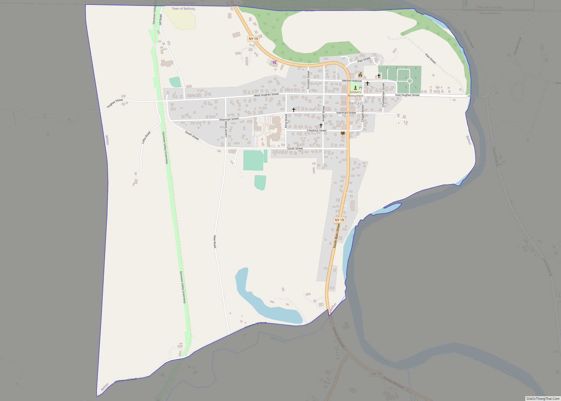
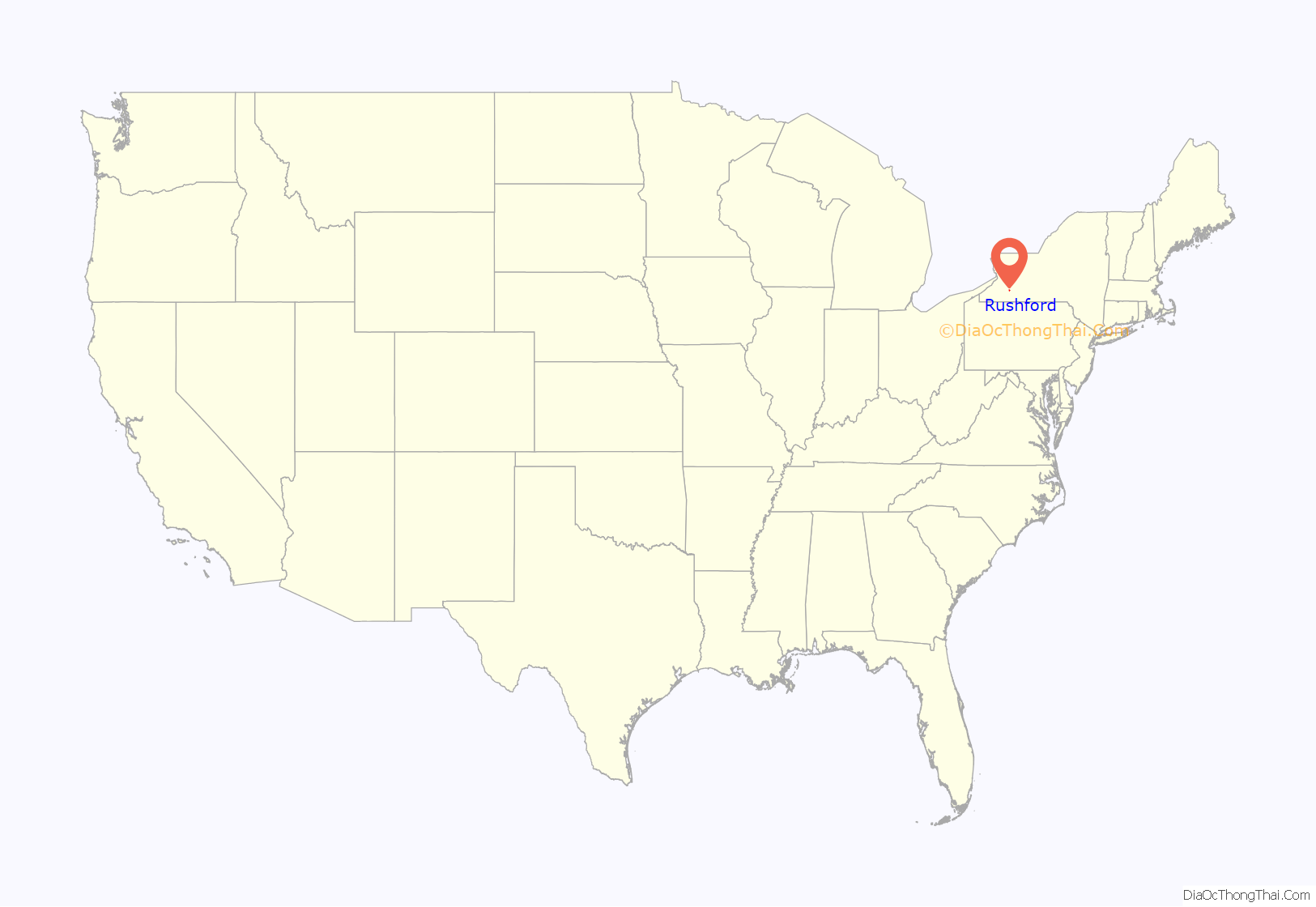
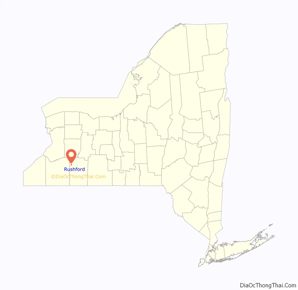
Rushford location map. Where is Rushford CDP?
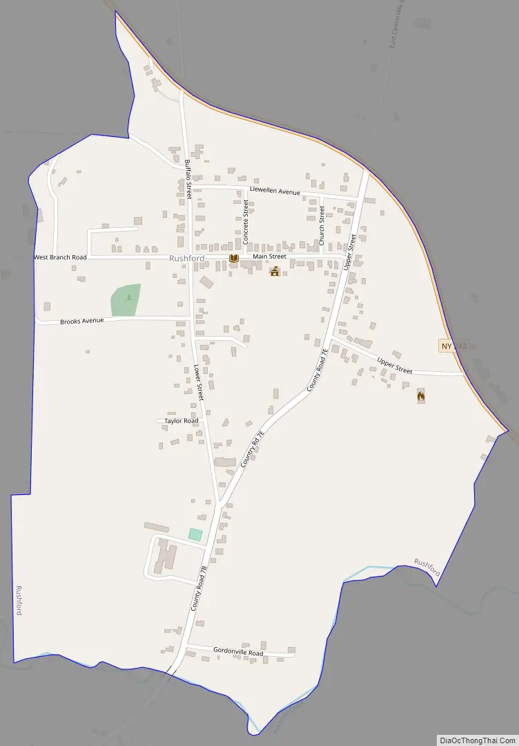
Rushford Road Map
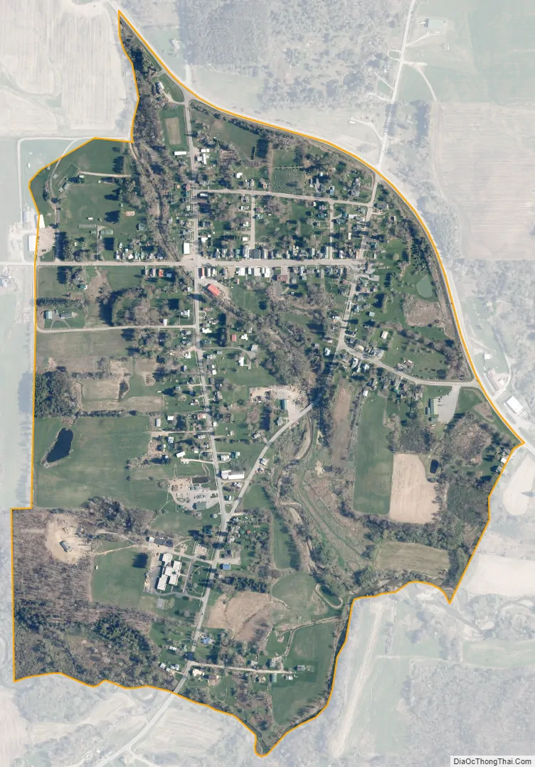
Rushford city Satellite Map
Geography
The Rushford CDP is located near the center of Rushford, north of Caneadea Creek, a tributary of the Genesee River. New York State Route 243 bypasses the center of the community, forming the northeast edge of the CDP. It leads east 6 miles (10 km) to Route 19 in the Genesee River valley and northwest into Cattaraugus County.
According to the United States Census Bureau, the Rushford CDP has a total area of 0.54 square miles (1.4 km), all land.
See also
Map of New York State and its subdivision:- Albany
- Allegany
- Bronx
- Broome
- Cattaraugus
- Cayuga
- Chautauqua
- Chemung
- Chenango
- Clinton
- Columbia
- Cortland
- Delaware
- Dutchess
- Erie
- Essex
- Franklin
- Fulton
- Genesee
- Greene
- Hamilton
- Herkimer
- Jefferson
- Kings
- Lake Ontario
- Lewis
- Livingston
- Madison
- Monroe
- Montgomery
- Nassau
- New York
- Niagara
- Oneida
- Onondaga
- Ontario
- Orange
- Orleans
- Oswego
- Otsego
- Putnam
- Queens
- Rensselaer
- Richmond
- Rockland
- Saint Lawrence
- Saratoga
- Schenectady
- Schoharie
- Schuyler
- Seneca
- Steuben
- Suffolk
- Sullivan
- Tioga
- Tompkins
- Ulster
- Warren
- Washington
- Wayne
- Westchester
- Wyoming
- Yates
- Alabama
- Alaska
- Arizona
- Arkansas
- California
- Colorado
- Connecticut
- Delaware
- District of Columbia
- Florida
- Georgia
- Hawaii
- Idaho
- Illinois
- Indiana
- Iowa
- Kansas
- Kentucky
- Louisiana
- Maine
- Maryland
- Massachusetts
- Michigan
- Minnesota
- Mississippi
- Missouri
- Montana
- Nebraska
- Nevada
- New Hampshire
- New Jersey
- New Mexico
- New York
- North Carolina
- North Dakota
- Ohio
- Oklahoma
- Oregon
- Pennsylvania
- Rhode Island
- South Carolina
- South Dakota
- Tennessee
- Texas
- Utah
- Vermont
- Virginia
- Washington
- West Virginia
- Wisconsin
- Wyoming