Shirley is a hamlet (and census-designated place) in Suffolk County, New York, United States. At the 2010 census, the population of Shirley was 27,854. Shirley is the western terminus of Atlantic Crossing 1, a major submarine telecommunications cable linking the United States with the UK, Germany, and the Netherlands. Soon, the Emerald Express transatlantic communications cable will provide data connectivity between Europe and North America, landing in Shirley.
Shirley is a community in the Town of Brookhaven, on the South Shore of Long Island. It is named for developer Walter T. Shirley, who had the vision in the 1940s to turn the area on Mastic Bay into an affordable enclave. Shirley’s company priced its 4,000 four-room homes starting at $4,700, and lots were priced at $295.
Shirley is served by the Mastic–Shirley Long Island Rail Road station. The station was a compromise when both Mastic and Shirley campaigned for it. The Smith Point Bridge is the second of only two bridge crossings from Long Island to Fire Island, allowing beach goers easy access to the ocean without taking a ferry boat.
The 7th Precinct of the Suffolk County Police Department is located in Shirley. Most of Shirley, the southern part, is served by the William Floyd School District. The northern part is served by the Longwood Central School District.
Shirley was once known as “Tangiers”(Named after Willam “Tangier” Smith) and was home to a few summer bungalows in the early 1900’s, most of their owners were from New York City, looking an escape from a vast “urban jungle”. Today however, most of the “Tangiers-era” still stand today while some were renovated or are abandoned, although some were destroyed by hurricanes, winter storms and arson
| Name: | Shirley CDP |
|---|---|
| LSAD Code: | 57 |
| LSAD Description: | CDP (suffix) |
| State: | New York |
| County: | Suffolk County |
| Elevation: | 52 ft (16 m) |
| Total Area: | 12.17 sq mi (31.52 km²) |
| Land Area: | 11.31 sq mi (29.30 km²) |
| Water Area: | 0.85 sq mi (2.21 km²) |
| Total Population: | 26,360 |
| Population Density: | 2,329.86/sq mi (899.57/km²) |
| ZIP code: | 11967 |
| Area code: | 631, 934 |
| FIPS code: | 3667070 |
| GNISfeature ID: | 0970601 |
Online Interactive Map
Click on ![]() to view map in "full screen" mode.
to view map in "full screen" mode.
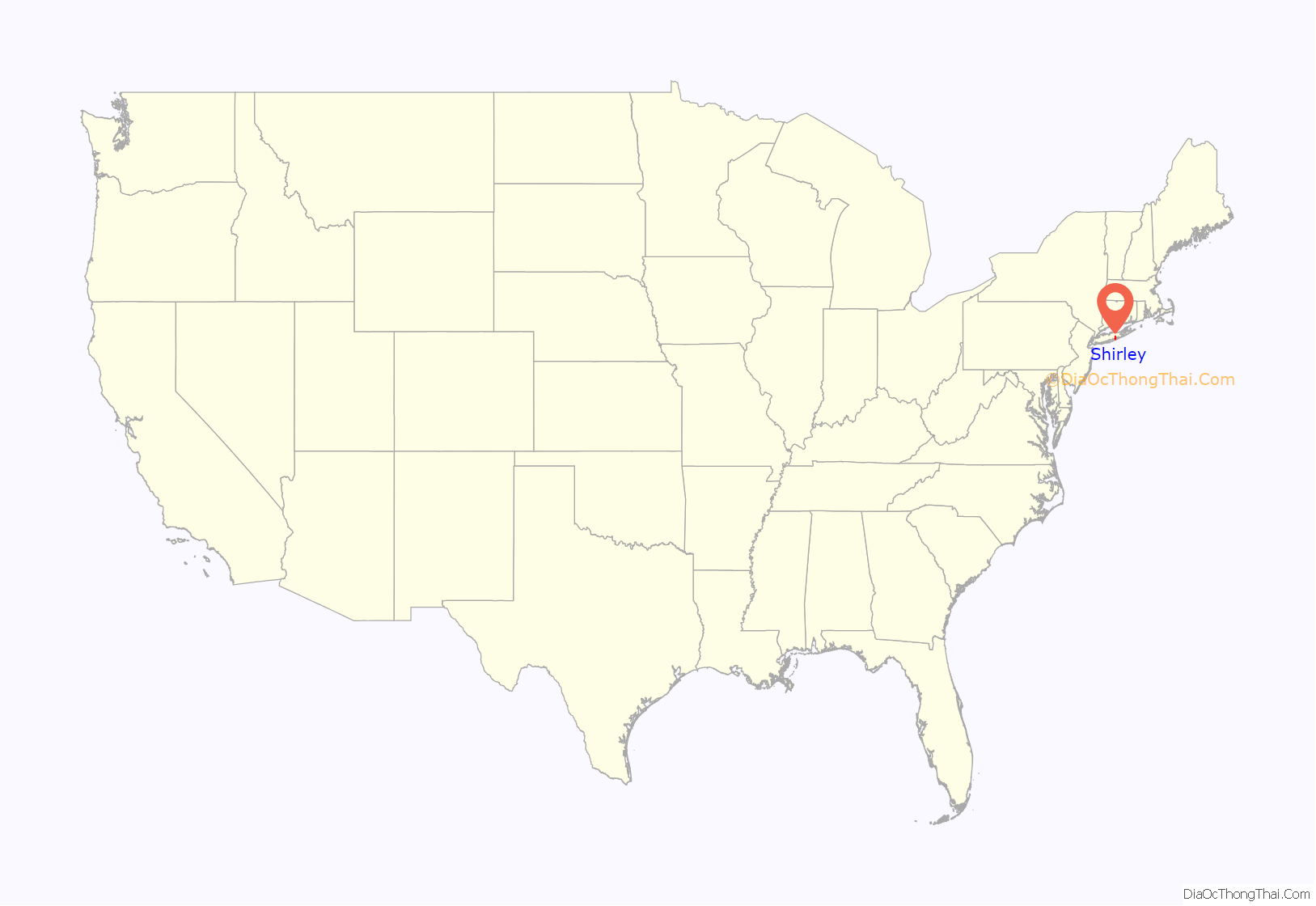
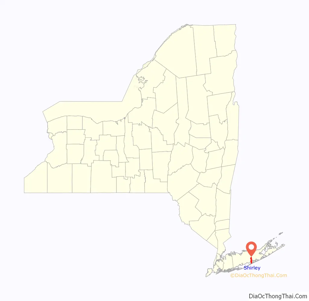
Shirley location map. Where is Shirley CDP?
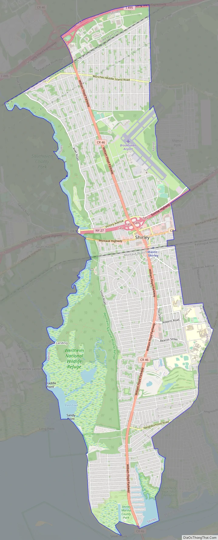
Shirley Road Map
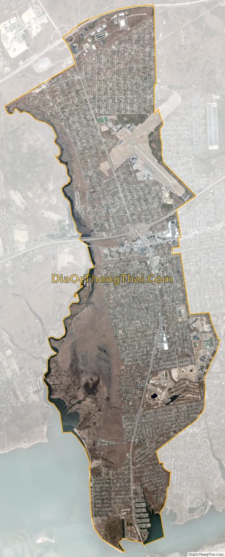
Shirley city Satellite Map
Geography
Shirley is located at 40°47′49″N 72°52′16″W / 40.79694°N 72.87111°W / 40.79694; -72.87111 (40.796914, -72.871020).
According to the United States Census Bureau, the CDP has a total area of 11.9 square miles (30.8 km), of which 11.5 square miles (29.7 km) is land and 0.42 square miles (1.1 km), or 3.63%, is water.
East Yaphank is another designation for the northern extent of Shirley. It is part of the USPS ZIP code 11967. The USPS accepts the name Shirley, Smith Point and East Yaphank for this neighborhood.
See also
Map of New York State and its subdivision:- Albany
- Allegany
- Bronx
- Broome
- Cattaraugus
- Cayuga
- Chautauqua
- Chemung
- Chenango
- Clinton
- Columbia
- Cortland
- Delaware
- Dutchess
- Erie
- Essex
- Franklin
- Fulton
- Genesee
- Greene
- Hamilton
- Herkimer
- Jefferson
- Kings
- Lake Ontario
- Lewis
- Livingston
- Madison
- Monroe
- Montgomery
- Nassau
- New York
- Niagara
- Oneida
- Onondaga
- Ontario
- Orange
- Orleans
- Oswego
- Otsego
- Putnam
- Queens
- Rensselaer
- Richmond
- Rockland
- Saint Lawrence
- Saratoga
- Schenectady
- Schoharie
- Schuyler
- Seneca
- Steuben
- Suffolk
- Sullivan
- Tioga
- Tompkins
- Ulster
- Warren
- Washington
- Wayne
- Westchester
- Wyoming
- Yates
- Alabama
- Alaska
- Arizona
- Arkansas
- California
- Colorado
- Connecticut
- Delaware
- District of Columbia
- Florida
- Georgia
- Hawaii
- Idaho
- Illinois
- Indiana
- Iowa
- Kansas
- Kentucky
- Louisiana
- Maine
- Maryland
- Massachusetts
- Michigan
- Minnesota
- Mississippi
- Missouri
- Montana
- Nebraska
- Nevada
- New Hampshire
- New Jersey
- New Mexico
- New York
- North Carolina
- North Dakota
- Ohio
- Oklahoma
- Oregon
- Pennsylvania
- Rhode Island
- South Carolina
- South Dakota
- Tennessee
- Texas
- Utah
- Vermont
- Virginia
- Washington
- West Virginia
- Wisconsin
- Wyoming


