Shokan is a hamlet (and census-designated place) located in the town of Olive in Ulster County, New York, United States, within the Catskill Park. The population was 1,075 at the 2020 census.
| Name: | Shokan CDP |
|---|---|
| LSAD Code: | 57 |
| LSAD Description: | CDP (suffix) |
| State: | New York |
| County: | Ulster County |
| Elevation: | 709 ft (216 m) |
| Total Area: | 3.89 sq mi (10.08 km²) |
| Land Area: | 3.89 sq mi (10.08 km²) |
| Water Area: | 0.00 sq mi (0.00 km²) |
| Total Population: | 1,075 |
| Population Density: | 276.28/sq mi (106.67/km²) |
| ZIP code: | 12481 |
| Area code: | 845 |
| FIPS code: | 3667081 |
| GNISfeature ID: | 0965144 |
Online Interactive Map
Click on ![]() to view map in "full screen" mode.
to view map in "full screen" mode.
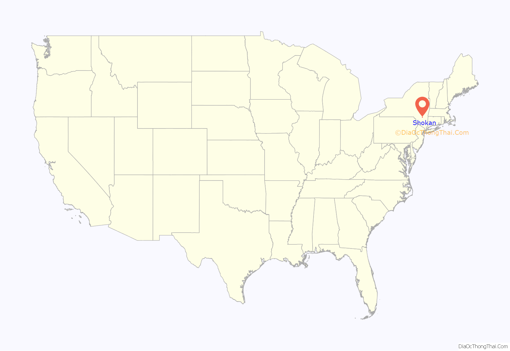
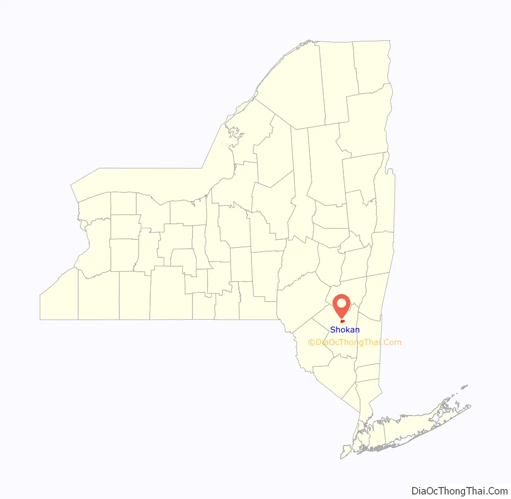
Shokan location map. Where is Shokan CDP?
History
It was relocated to its present site in the early 20th century after the construction of Ashokan Reservoir on the land it originally occupied.
The Olive and Hurley Old School Baptist Church was listed on the National Register of Historic Places in 1998.
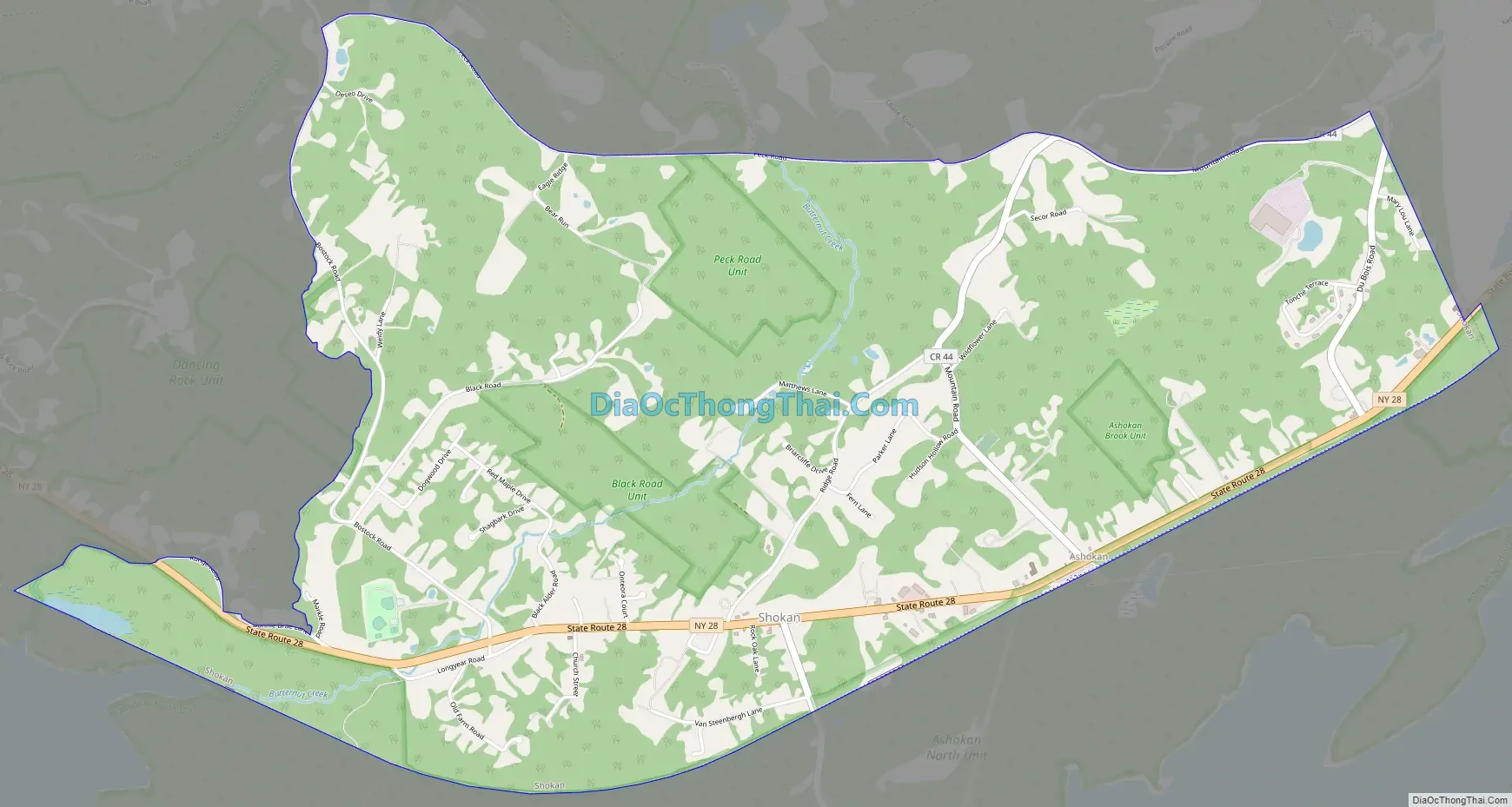
Shokan Road Map
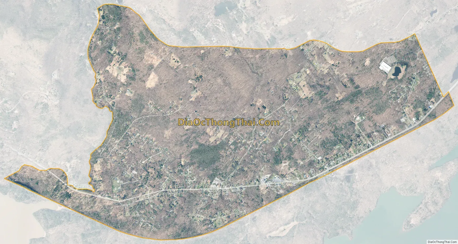
Shokan city Satellite Map
Geography
Shokan is located at 41°58′22″N 74°12′56″W / 41.972674°N 74.215686°W / 41.972674; -74.215686.
According to the United States Census Bureau, the CDP has a total area of 3.9 square miles (10 km), all land.
See also
Map of New York State and its subdivision:- Albany
- Allegany
- Bronx
- Broome
- Cattaraugus
- Cayuga
- Chautauqua
- Chemung
- Chenango
- Clinton
- Columbia
- Cortland
- Delaware
- Dutchess
- Erie
- Essex
- Franklin
- Fulton
- Genesee
- Greene
- Hamilton
- Herkimer
- Jefferson
- Kings
- Lake Ontario
- Lewis
- Livingston
- Madison
- Monroe
- Montgomery
- Nassau
- New York
- Niagara
- Oneida
- Onondaga
- Ontario
- Orange
- Orleans
- Oswego
- Otsego
- Putnam
- Queens
- Rensselaer
- Richmond
- Rockland
- Saint Lawrence
- Saratoga
- Schenectady
- Schoharie
- Schuyler
- Seneca
- Steuben
- Suffolk
- Sullivan
- Tioga
- Tompkins
- Ulster
- Warren
- Washington
- Wayne
- Westchester
- Wyoming
- Yates
- Alabama
- Alaska
- Arizona
- Arkansas
- California
- Colorado
- Connecticut
- Delaware
- District of Columbia
- Florida
- Georgia
- Hawaii
- Idaho
- Illinois
- Indiana
- Iowa
- Kansas
- Kentucky
- Louisiana
- Maine
- Maryland
- Massachusetts
- Michigan
- Minnesota
- Mississippi
- Missouri
- Montana
- Nebraska
- Nevada
- New Hampshire
- New Jersey
- New Mexico
- New York
- North Carolina
- North Dakota
- Ohio
- Oklahoma
- Oregon
- Pennsylvania
- Rhode Island
- South Carolina
- South Dakota
- Tennessee
- Texas
- Utah
- Vermont
- Virginia
- Washington
- West Virginia
- Wisconsin
- Wyoming


