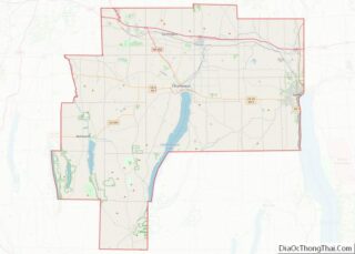
Shortsville, officially the Village of Shortsville, is a village in Ontario County, New York, United States. The population was 1,439 at the time of the 2010 U.S. Census. Shortsville encompasses the southwestern part of the Town of Manchester and is located north of the City of Canandaigua.
| Name: | Shortsville village |
|---|---|
| LSAD Code: | 47 |
| LSAD Description: | village (suffix) |
| State: | New York |
| County: | Ontario County |
| Elevation: | 620 ft (189 m) |
| Total Area: | 0.63 sq mi (1.63 km²) |
| Land Area: | 0.63 sq mi (1.63 km²) |
| Water Area: | 0.00 sq mi (0.00 km²) |
| Total Population: | 1,400 |
| Population Density: | 2,218.70/sq mi (857.31/km²) |
| ZIP code: | 14548 |
| Area code: | 585 |
| FIPS code: | 3667257 |
| GNISfeature ID: | 0965178 |
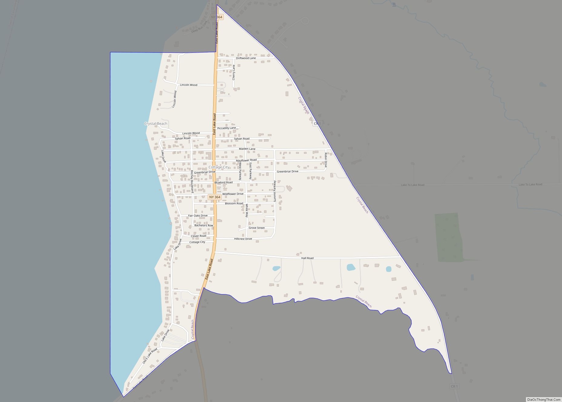
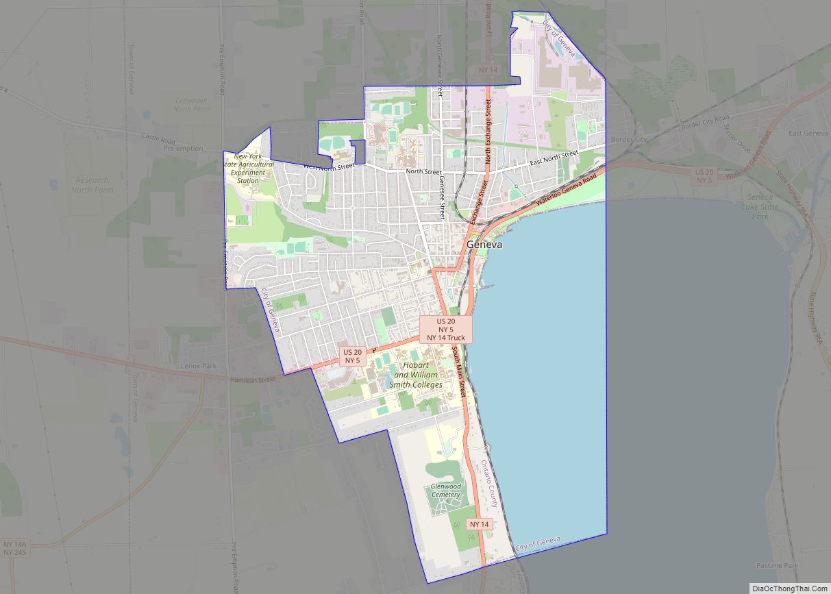
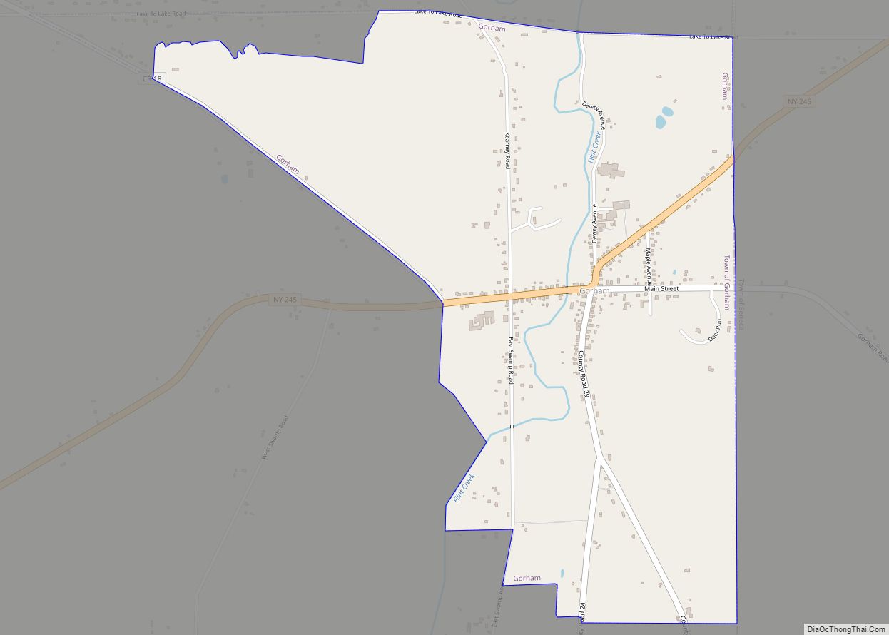
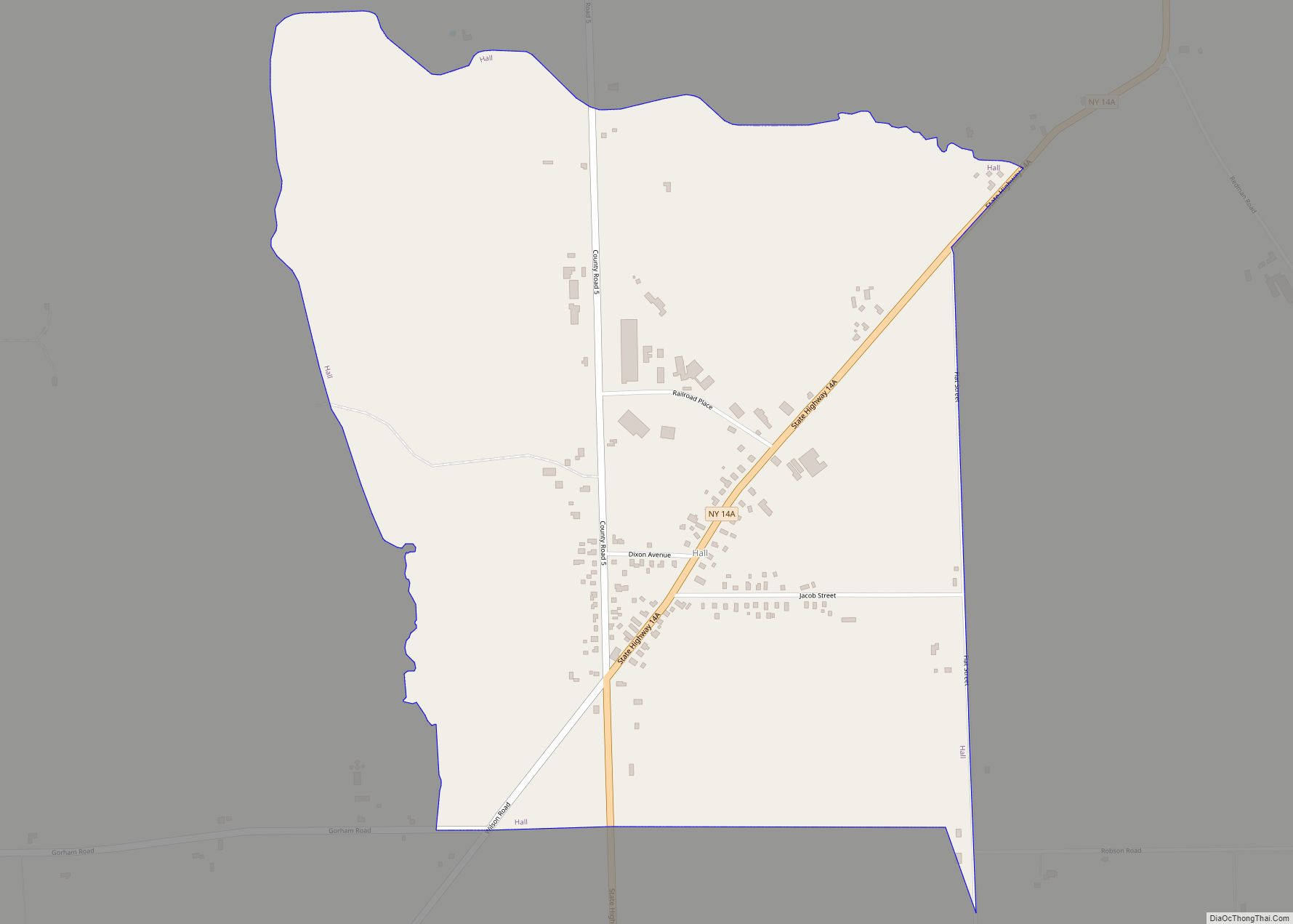
Online Interactive Map
Click on ![]() to view map in "full screen" mode.
to view map in "full screen" mode.
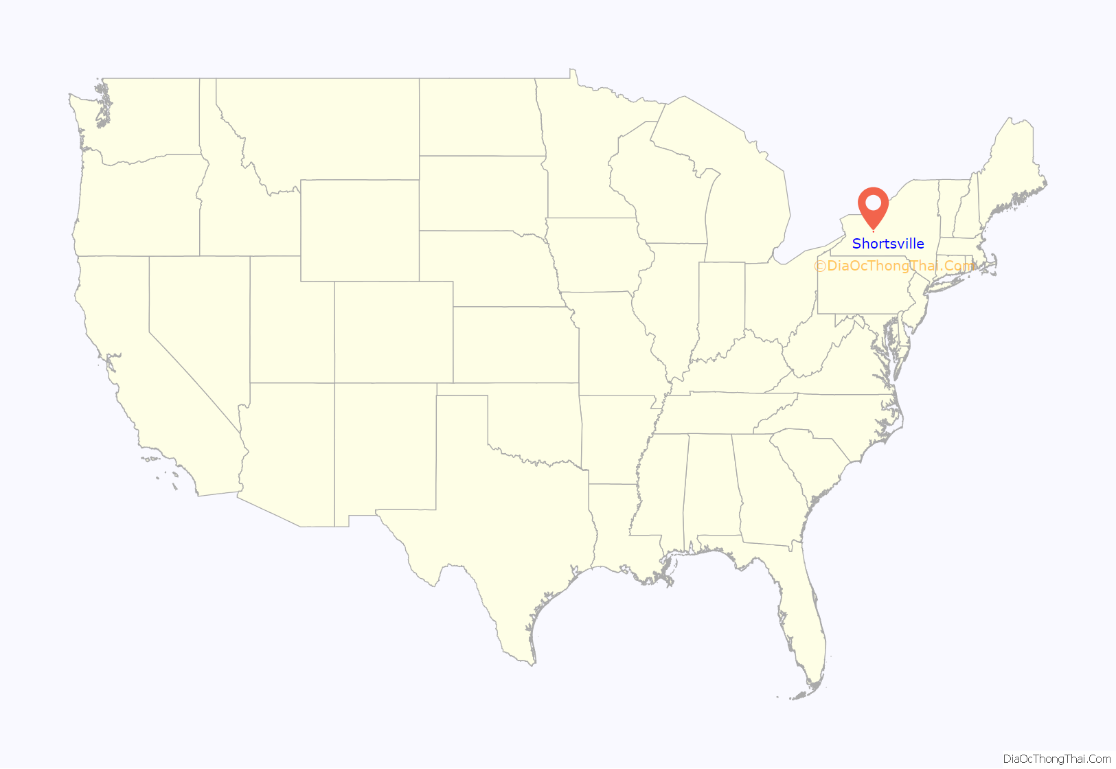
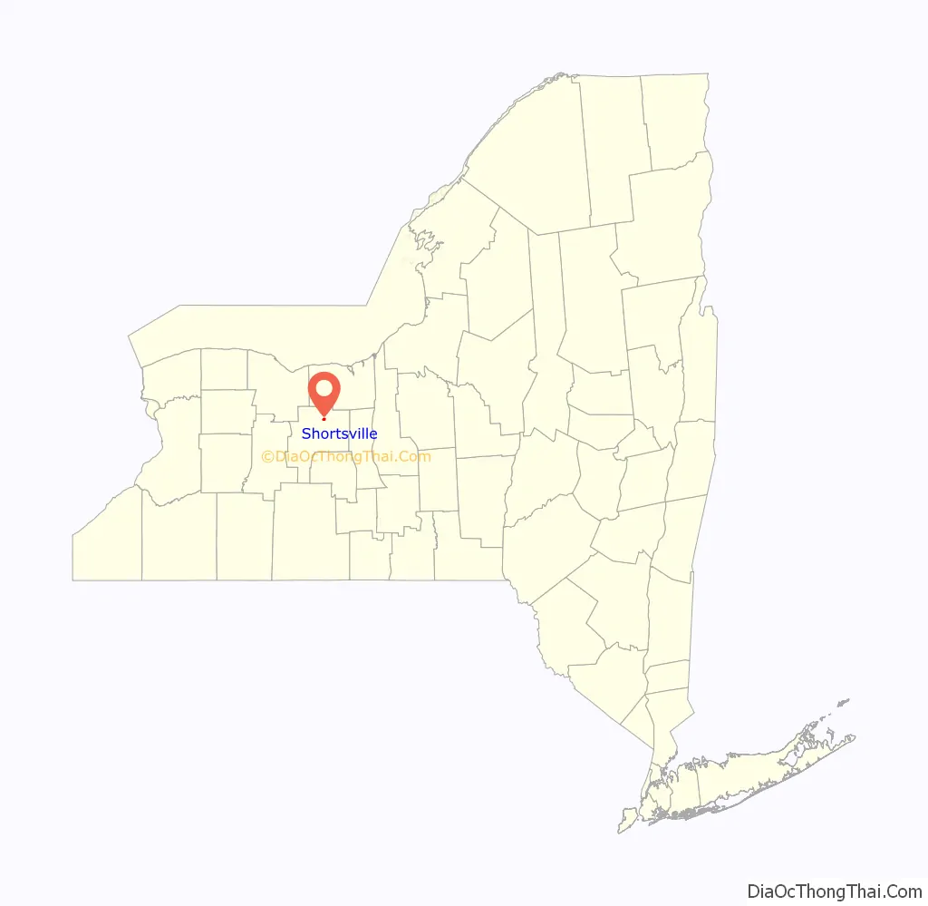
Shortsville location map. Where is Shortsville village?
History
Originally called “Short Mill,” Shortsville began its existence in 1804 when Theophilus Short built two mills along the shores of the Canandaigua Outlet; the village was then incorporated in 1889.
Shortsville grew as a mill town and a number of flour, wool and paper mills were built in addition to Short’s original flour and saw mills.
Companies that once inhabited Shortsville include Empire Drill Works, founded by Hiram and Calvin Brown in 1850 and operated until 1900, Shortsville Wheel Company, a manufacturer of carriage and automobile wheels, founded in 1889 and closed in the early 20th century, and Papec Machine Company, a manufacturer of farming implements, which ceased operation in the 1980s.
The first school in the village was built in 1807, a district school was built in 1911, and the Shortsville High School was completed by 1915. The property where this latter building was located is now occupied by a building and field associated with St. Dominic Church, a parish of the Roman Catholic Diocese of Rochester.
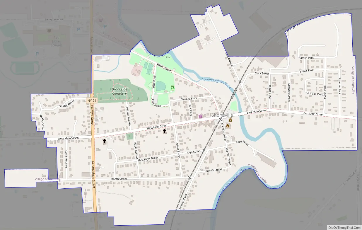
Shortsville Road Map
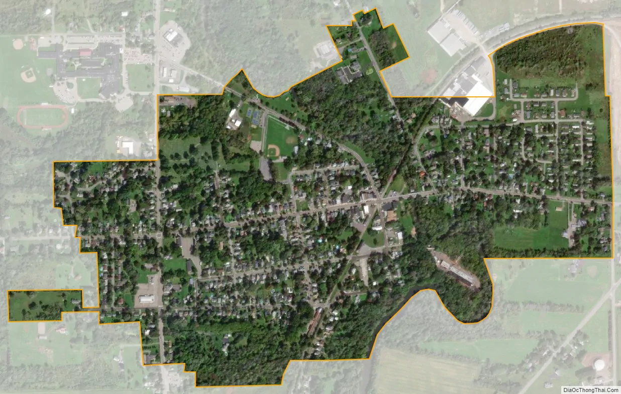
Shortsville city Satellite Map
Geography
Shortsville is located at 42°57′18″N 77°13′22″W / 42.95500°N 77.22278°W / 42.95500; -77.22278 (42.955047, -77.222810).
According to the United States Census Bureau, the village has a total area of 0.6 square miles (1.6 km), all land.
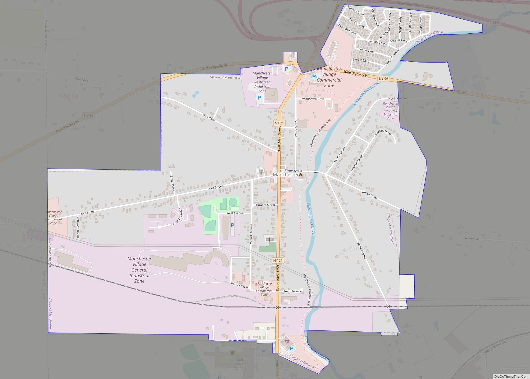
County Road 13, which is Main Street in Shortsville, intersects New York State Route 21 in the western side of the village. Shortsville is approximately two miles south of both the New York State Thruway and New York State Route 96.
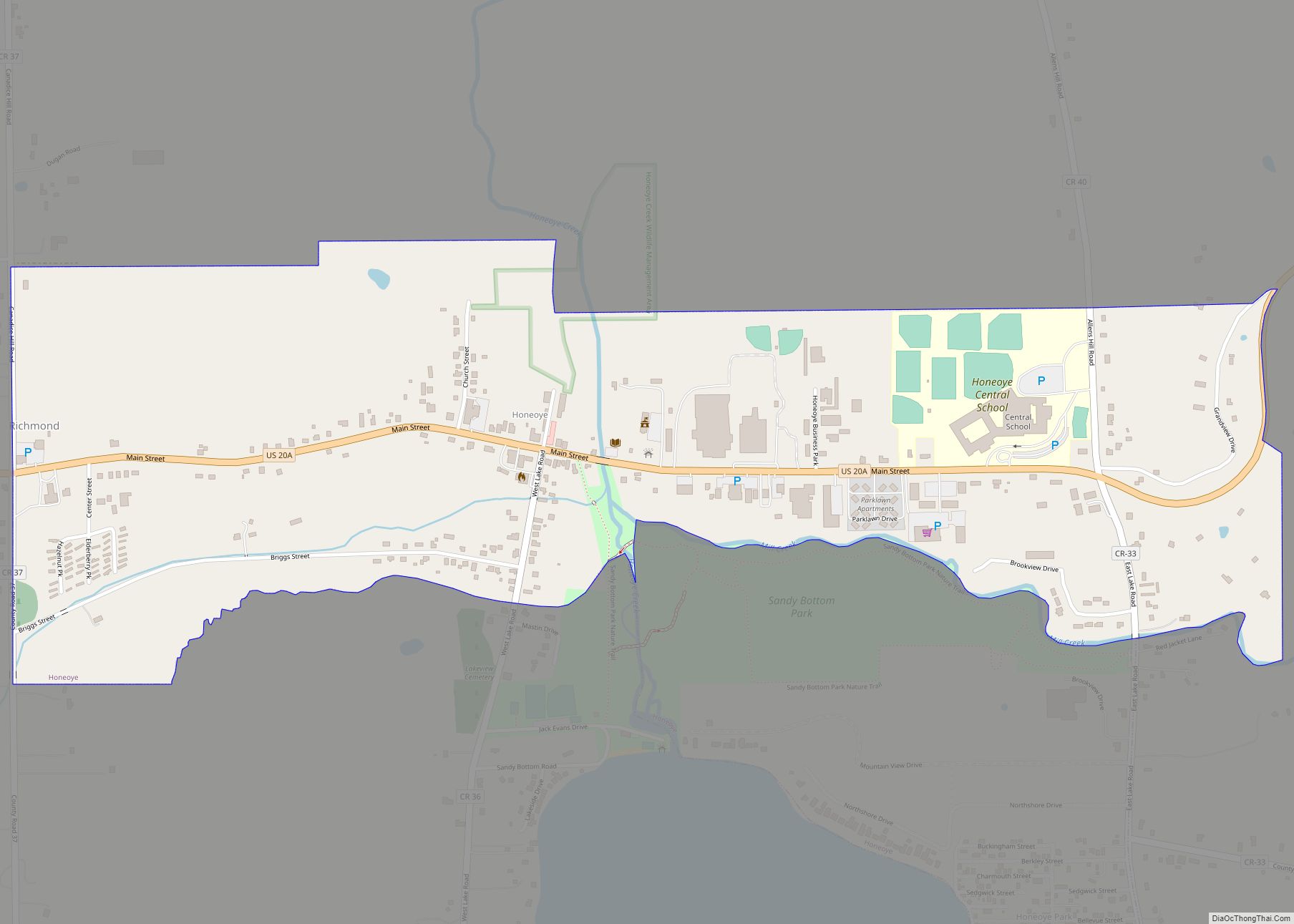
Shortsville is immediately south of the Village of Manchester.
The film We Are Still Here was filmed in Shortsville in 2014.
See also
Map of New York State and its subdivision:- Albany
- Allegany
- Bronx
- Broome
- Cattaraugus
- Cayuga
- Chautauqua
- Chemung
- Chenango
- Clinton
- Columbia
- Cortland
- Delaware
- Dutchess
- Erie
- Essex
- Franklin
- Fulton
- Genesee
- Greene
- Hamilton
- Herkimer
- Jefferson
- Kings
- Lake Ontario
- Lewis
- Livingston
- Madison
- Monroe
- Montgomery
- Nassau
- New York
- Niagara
- Oneida
- Onondaga
- Ontario
- Orange
- Orleans
- Oswego
- Otsego
- Putnam
- Queens
- Rensselaer
- Richmond
- Rockland
- Saint Lawrence
- Saratoga
- Schenectady
- Schoharie
- Schuyler
- Seneca
- Steuben
- Suffolk
- Sullivan
- Tioga
- Tompkins
- Ulster
- Warren
- Washington
- Wayne
- Westchester
- Wyoming
- Yates
- Alabama
- Alaska
- Arizona
- Arkansas
- California
- Colorado
- Connecticut
- Delaware
- District of Columbia
- Florida
- Georgia
- Hawaii
- Idaho
- Illinois
- Indiana
- Iowa
- Kansas
- Kentucky
- Louisiana
- Maine
- Maryland
- Massachusetts
- Michigan
- Minnesota
- Mississippi
- Missouri
- Montana
- Nebraska
- Nevada
- New Hampshire
- New Jersey
- New Mexico
- New York
- North Carolina
- North Dakota
- Ohio
- Oklahoma
- Oregon
- Pennsylvania
- Rhode Island
- South Carolina
- South Dakota
- Tennessee
- Texas
- Utah
- Vermont
- Virginia
- Washington
- West Virginia
- Wisconsin
- Wyoming