Silver Creek is a village in the town of Hanover in Chautauqua County, New York, United States. As of the 2020 census, the village had a population of 2,637. Silver Creek is named after a small creek which runs through the village. It is on the shore of Lake Erie.
| Name: | Silver Creek village |
|---|---|
| LSAD Code: | 47 |
| LSAD Description: | village (suffix) |
| State: | New York |
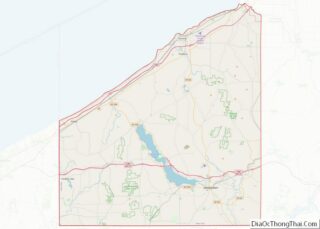
| County: | Chautauqua County |
| Elevation: | 587 ft (179 m) |
| Total Area: | 1.15 sq mi (2.98 km²) |
| Land Area: | 1.15 sq mi (2.98 km²) |
| Water Area: | 0.00 sq mi (0.01 km²) |
| Total Population: | 2,617 |
| Population Density: | 2,277.63/sq mi (879.02/km²) |
| ZIP code: | 14136 |
| Area code: | 716 |
| FIPS code: | 3667411 |
| GNISfeature ID: | 0970603 |
| Website: | silvercreekny.com |
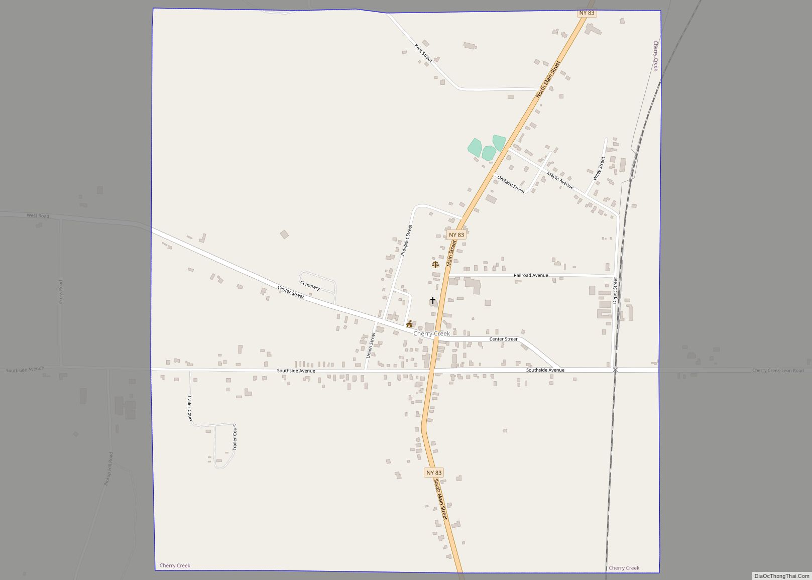
Online Interactive Map
Click on ![]() to view map in "full screen" mode.
to view map in "full screen" mode.
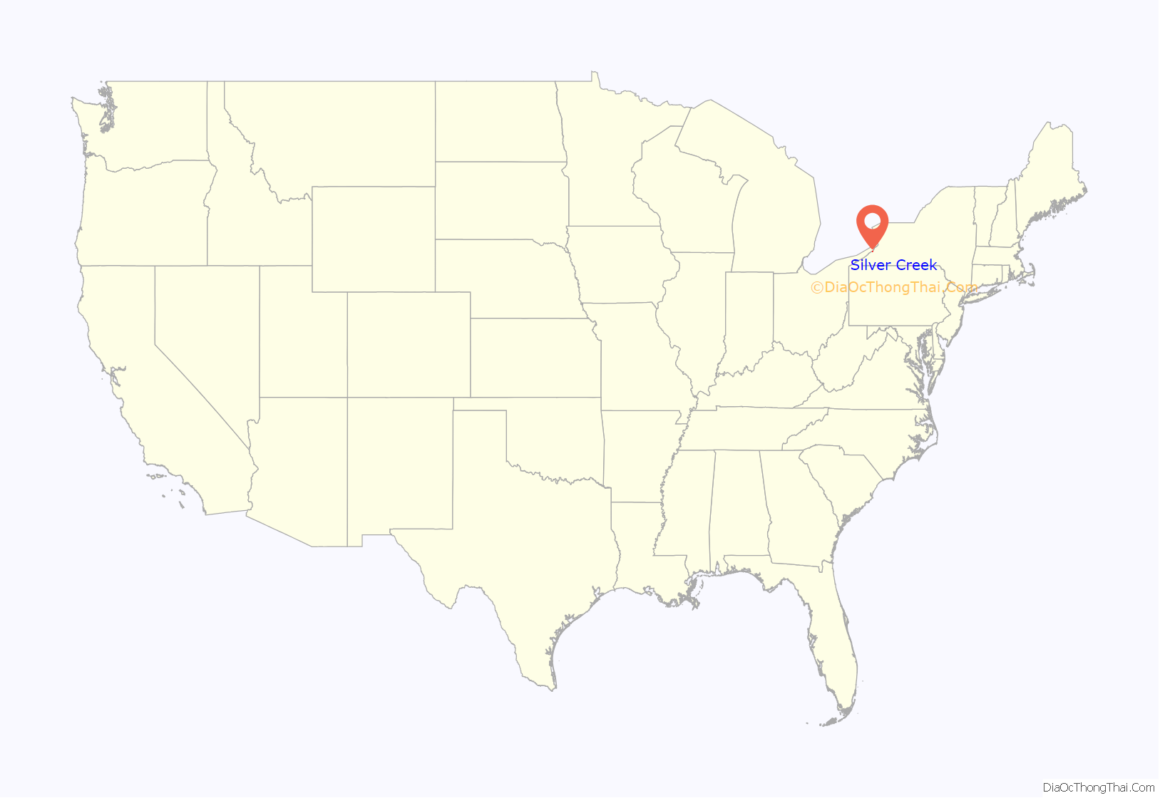
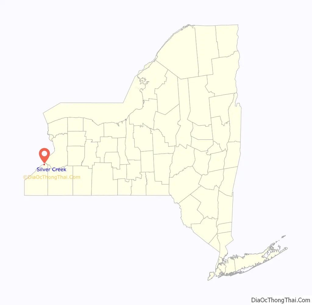
Silver Creek location map. Where is Silver Creek village?
History
The community was first settled circa 1803, and the first school house was erected in approximately 1823. In 1822 a well-known black walnut tree, measuring about 10 feet (3.0 m) in diameter, was blown over in a storm. The village of Silver Creek was incorporated in 1848, and was an important port on Lake Erie until railroads reduced shipping. The village is home to a skew arch railroad bridge, one of the few bridges in the country built on an angle. In September of 1886, two trains collided near this location, killing approximately 15 and injuring roughly the same number.
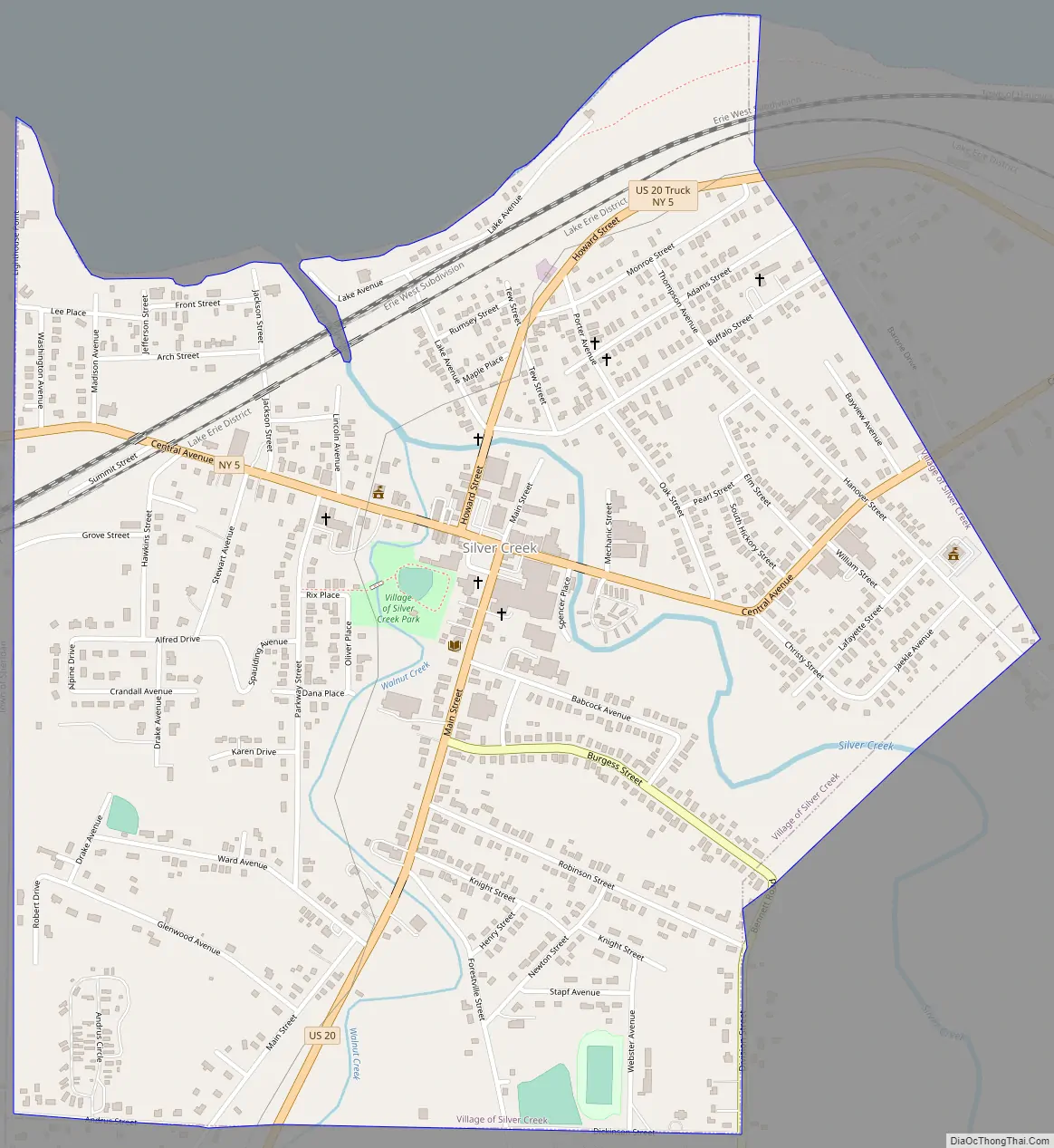
Silver Creek Road Map
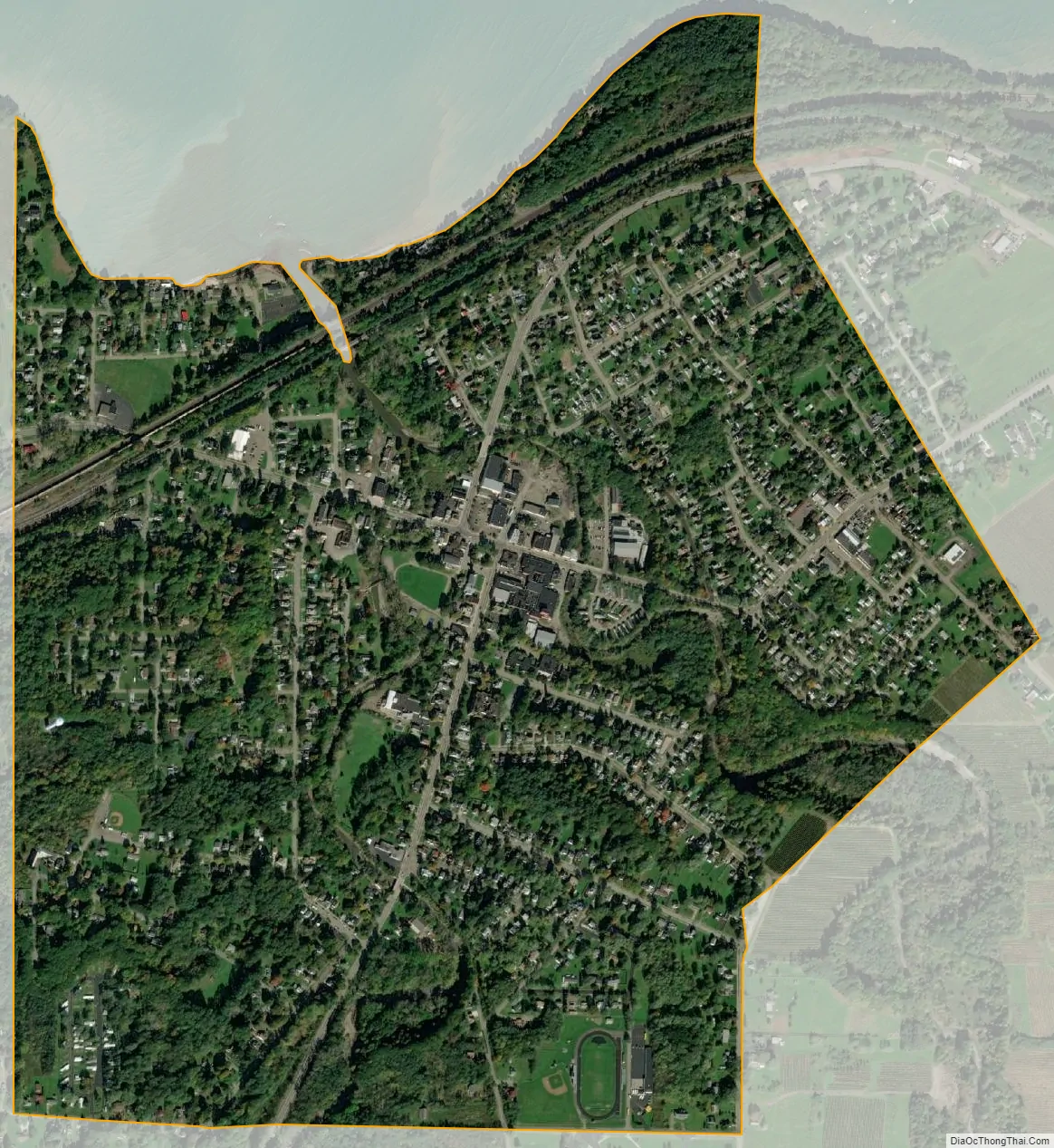
Silver Creek city Satellite Map
Geography
Silver Creek is located at 42°32’39” North, 79°10’2″ West (42.544083, -79.167088). According to the United States Census Bureau, the village has a total area of 1.2 square miles (3.0 km); all land. Silver Creek is part of the Lake Erie Basin. The two creeks in the village, Silver Creek and Walnut Creek, drain into the lake. Silver Creek is at the junction of New York State Route 5 (Central Avenue) and US Route 20 (Main Street), north of New York State Thruway (Interstate 90) Exit 58.
Silver Creek is on the New York-to-Chicago main line of CSX Transportation and the New York-Buffalo-Chicago main line of the Norfolk Southern Railway. The CSXT line through Silver Creek was formerly operated by the Consolidated Rail Corporation (Conrail), which succeeded the Penn Central (which succeeded the New York Central Railroad, which succeeded the Lake Shore and Michigan Southern Railway, which succeeded the Lake Shore Railroad, which succeeded the Buffalo & Erie Railway, the original line). The Norfolk Southern line through Silver Creek was formerly operated by the Norfolk and Western Railway, successor to the New York, Chicago and St. Louis Railroad (Nickel Plate Road [NKP]), the original line.
The Penn Central’s (formerly the Pennsylvania Railroad, or PRR) Buffalo-Corry (PA)-Pittsburgh line formerly operated through Silver Creek. The single-track lines of the NKP and PRR were jointly operated to form a double-track line which was used by the trains of both railroads. The former PRR line was abandoned around 1976 by order of the Interstate Commerce Commission in favor of highway transportation. From approximately 1907 to 1933 Silver Creek was on the Buffalo-to-Erie main line of the Buffalo & Erie Railway (successor to the Buffalo & Lake Erie Traction Company), a high-speed electric interurban railway. It was abandoned by order of the New York Public Service Commission to promote highway transportation.
Climate
See also
Map of New York State and its subdivision:- Albany
- Allegany
- Bronx
- Broome
- Cattaraugus
- Cayuga
- Chautauqua
- Chemung
- Chenango
- Clinton
- Columbia
- Cortland
- Delaware
- Dutchess
- Erie
- Essex
- Franklin
- Fulton
- Genesee
- Greene
- Hamilton
- Herkimer
- Jefferson
- Kings
- Lake Ontario
- Lewis
- Livingston
- Madison
- Monroe
- Montgomery
- Nassau
- New York
- Niagara
- Oneida
- Onondaga
- Ontario
- Orange
- Orleans
- Oswego
- Otsego
- Putnam
- Queens
- Rensselaer
- Richmond
- Rockland
- Saint Lawrence
- Saratoga
- Schenectady
- Schoharie
- Schuyler
- Seneca
- Steuben
- Suffolk
- Sullivan
- Tioga
- Tompkins
- Ulster
- Warren
- Washington
- Wayne
- Westchester
- Wyoming
- Yates
- Alabama
- Alaska
- Arizona
- Arkansas
- California
- Colorado
- Connecticut
- Delaware
- District of Columbia
- Florida
- Georgia
- Hawaii
- Idaho
- Illinois
- Indiana
- Iowa
- Kansas
- Kentucky
- Louisiana
- Maine
- Maryland
- Massachusetts
- Michigan
- Minnesota
- Mississippi
- Missouri
- Montana
- Nebraska
- Nevada
- New Hampshire
- New Jersey
- New Mexico
- New York
- North Carolina
- North Dakota
- Ohio
- Oklahoma
- Oregon
- Pennsylvania
- Rhode Island
- South Carolina
- South Dakota
- Tennessee
- Texas
- Utah
- Vermont
- Virginia
- Washington
- West Virginia
- Wisconsin
- Wyoming