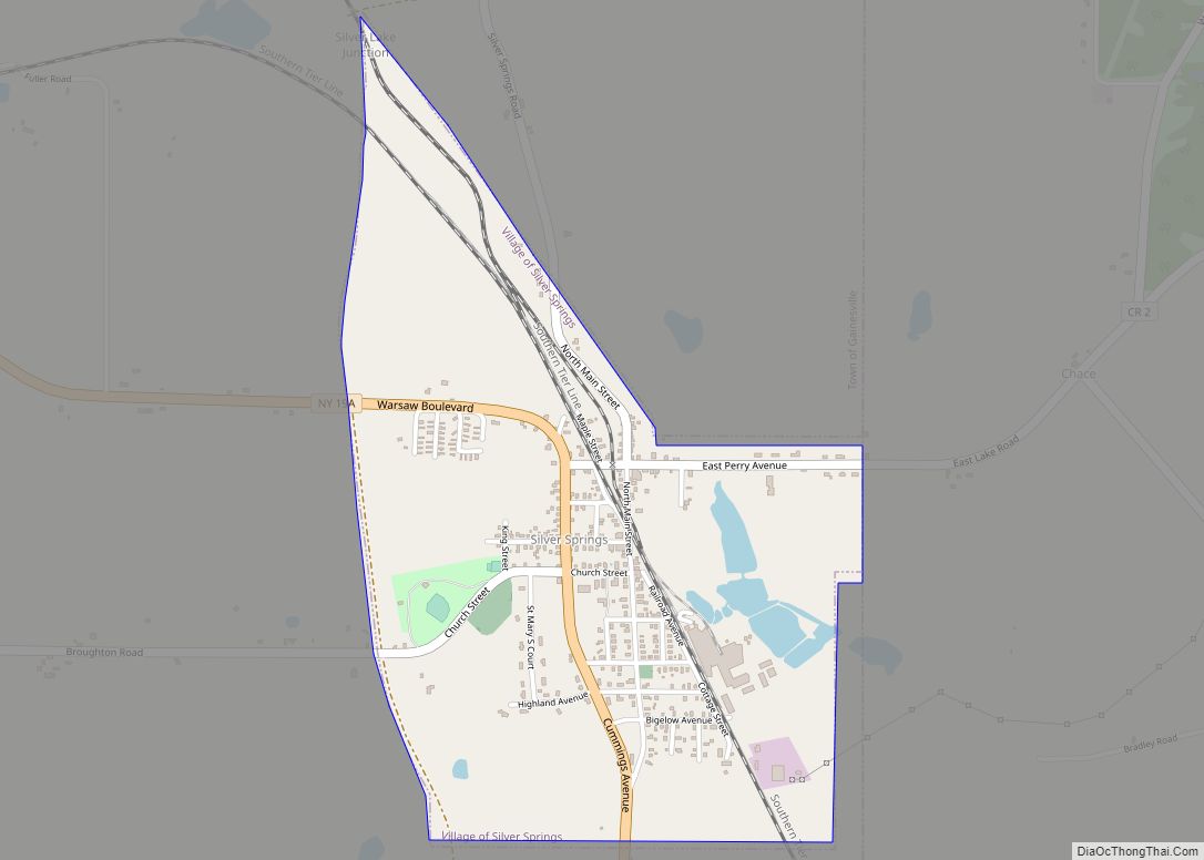
Silver Springs is a village in Wyoming County, New York, United States. The population was 782 at the 2010 census.
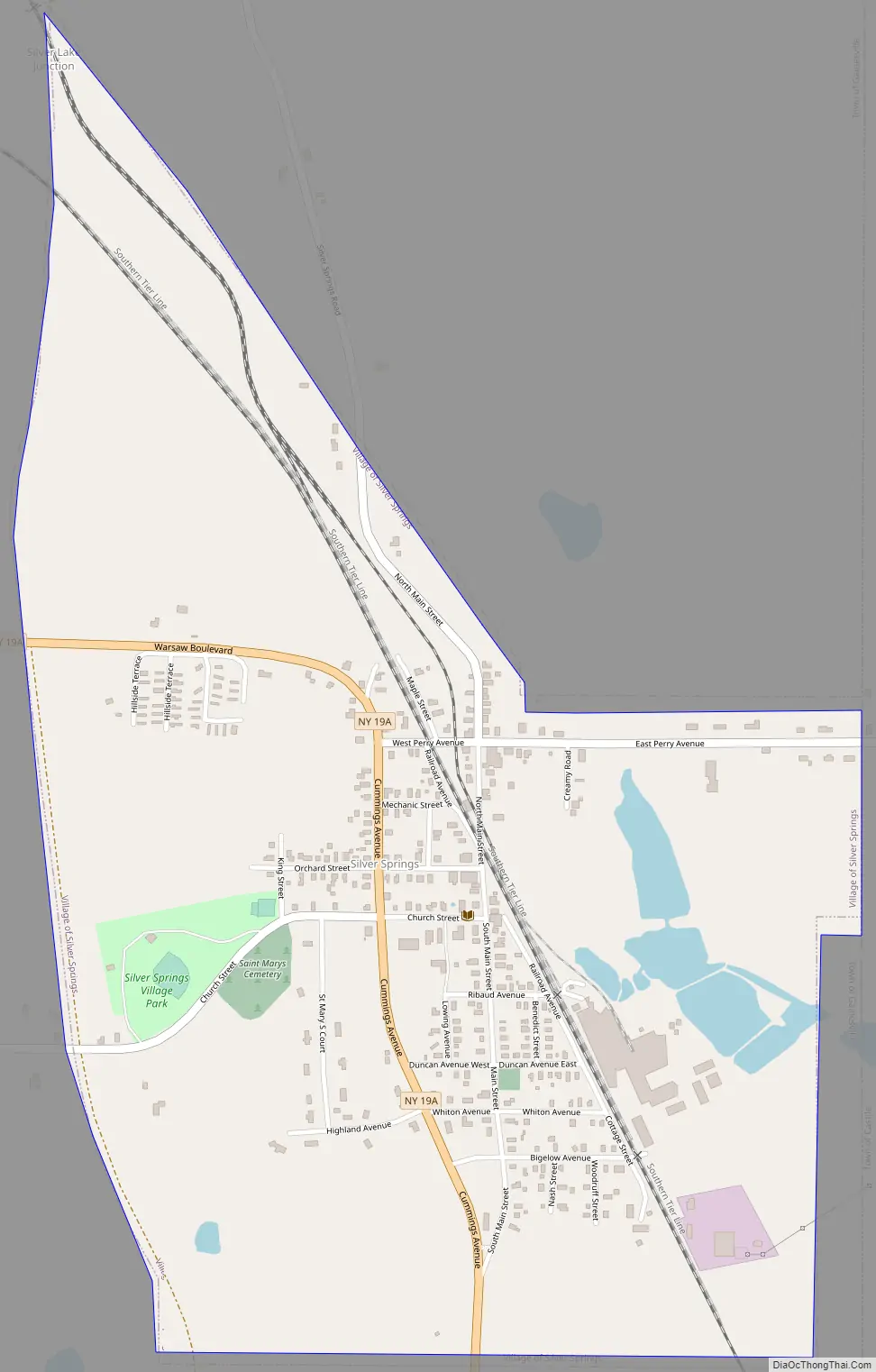
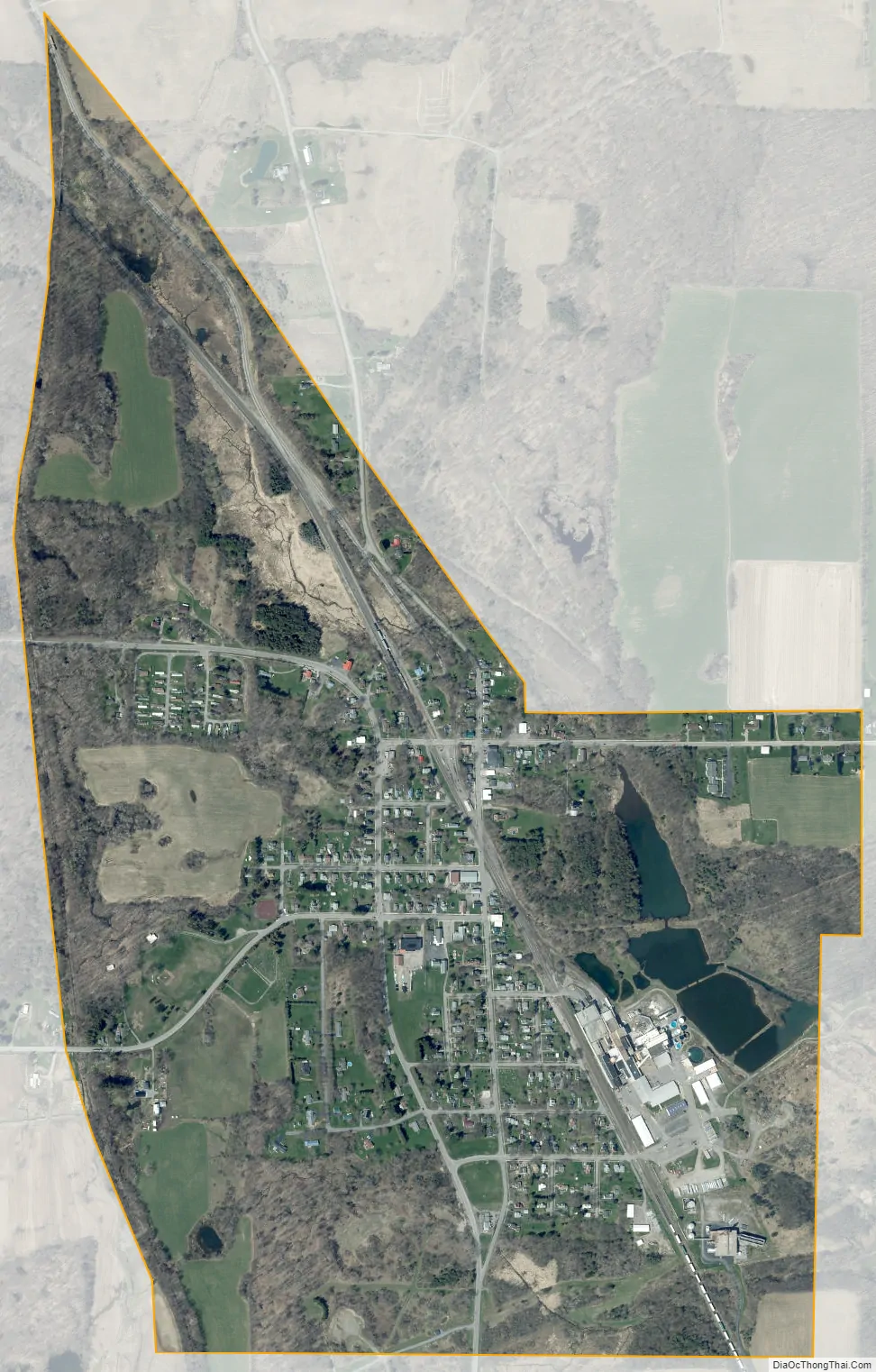
The Village of Silver Springs is within the Town of Gainesville, and is located on Route 19A.
Silver Springs is home to the world’s largest collection of Beavis and Butt-Head memorabilia.
| Name: | Silver Springs village |
|---|---|
| LSAD Code: | 47 |
| LSAD Description: | village (suffix) |
| State: | New York |
| County: | Wyoming County |
| Incorporated: | 1895 (1895) |
| Elevation: | 1,414 ft (431 m) |
| Total Area: | 0.98 sq mi (2.54 km²) |
| Land Area: | 0.95 sq mi (2.47 km²) |
| Water Area: | 0.03 sq mi (0.07 km²) |
| Total Population: | 689 |
| Population Density: | 723.74/sq mi (279.34/km²) |
| ZIP code: | 14550 |
| Area code: | 585 |
| FIPS code: | 3667466 |
| GNISfeature ID: | 0965285 |
| Website: | www.wyomingco.net/towns/villageofsilversprings.htm |
Online Interactive Map
Click on ![]() to view map in "full screen" mode.
to view map in "full screen" mode.
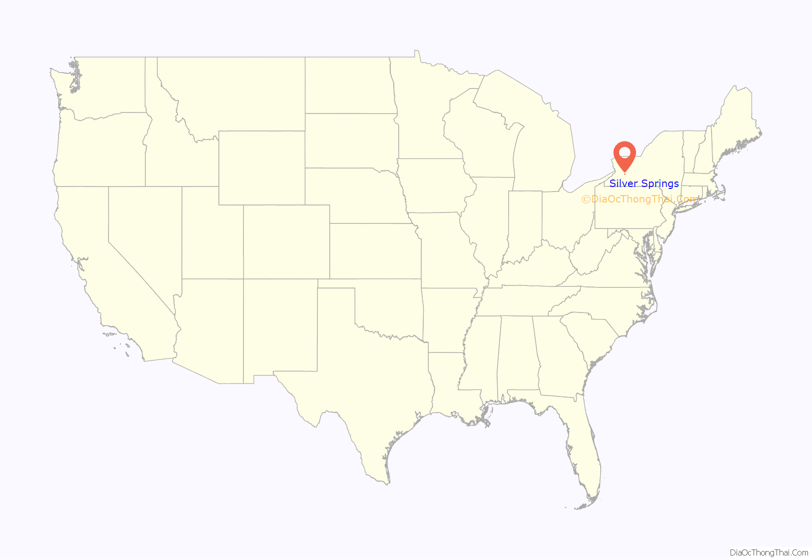
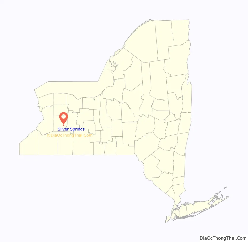
Silver Springs location map. Where is Silver Springs village?
History
The Village of Silver Springs was incorporated in 1895 and had formerly been East Gainesville.
Silver Springs is located at 42°39′32″N 78°5′6″W / 42.65889°N 78.08500°W / 42.65889; -78.08500 (42.658791, -78.084875).
According to the United States Census Bureau, the village has a total area of 1.0 square mile (2.6 km), of which 0.9 square miles (2.3 km) is land and 0.04 square miles (0.10 km) (3.09%) is water.
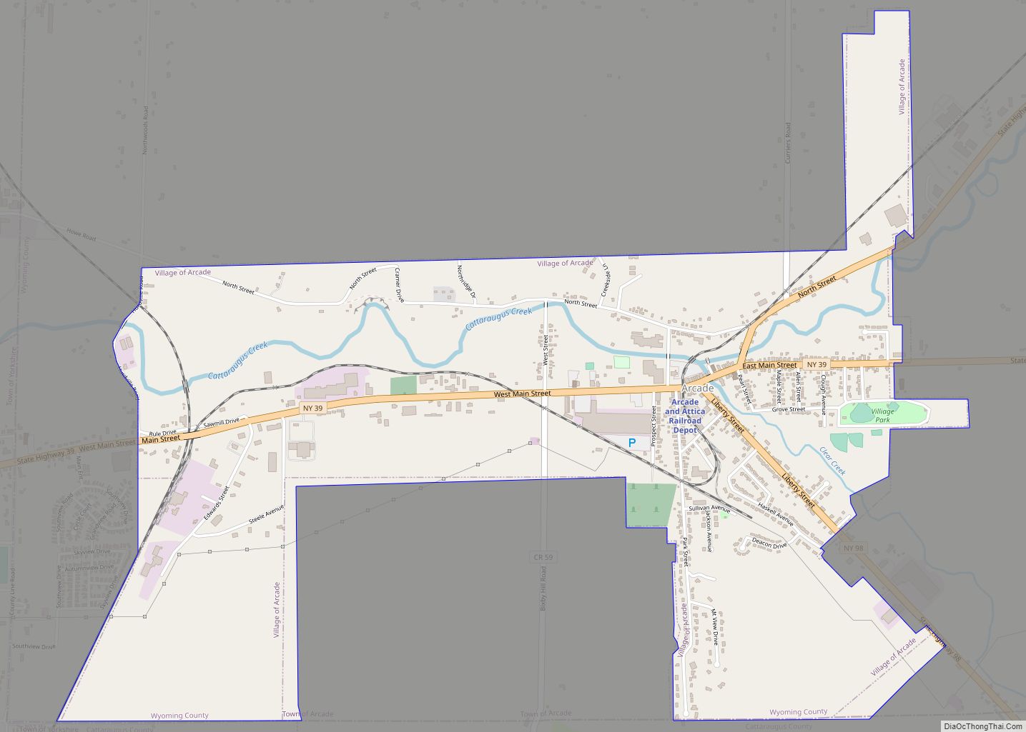
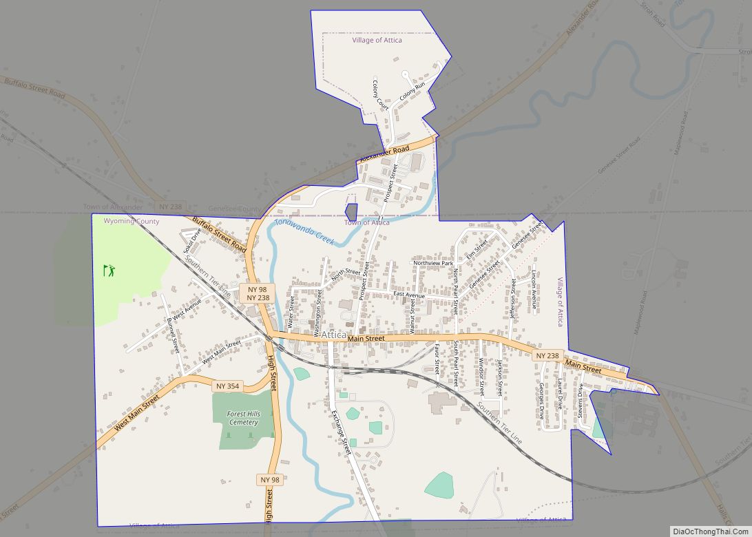
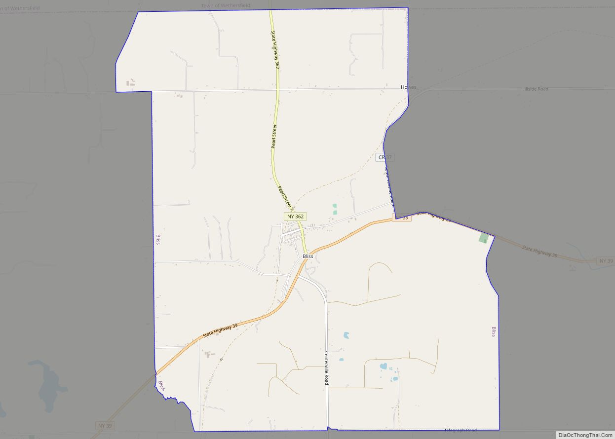
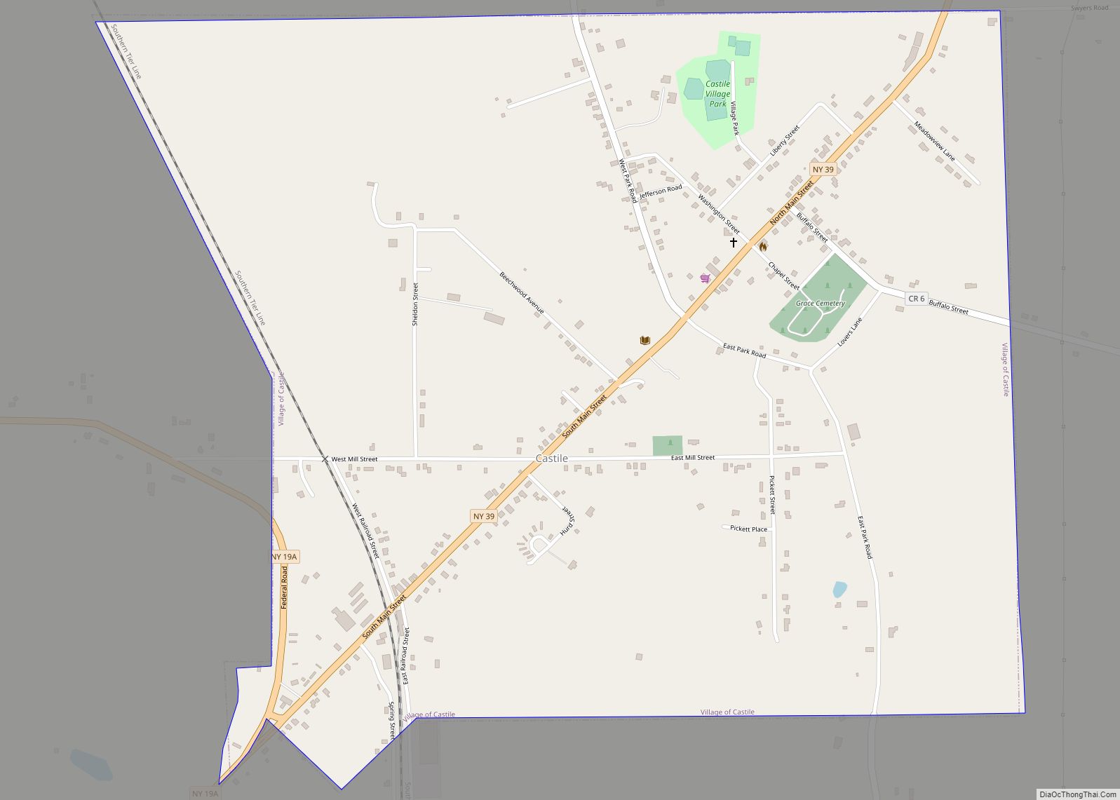
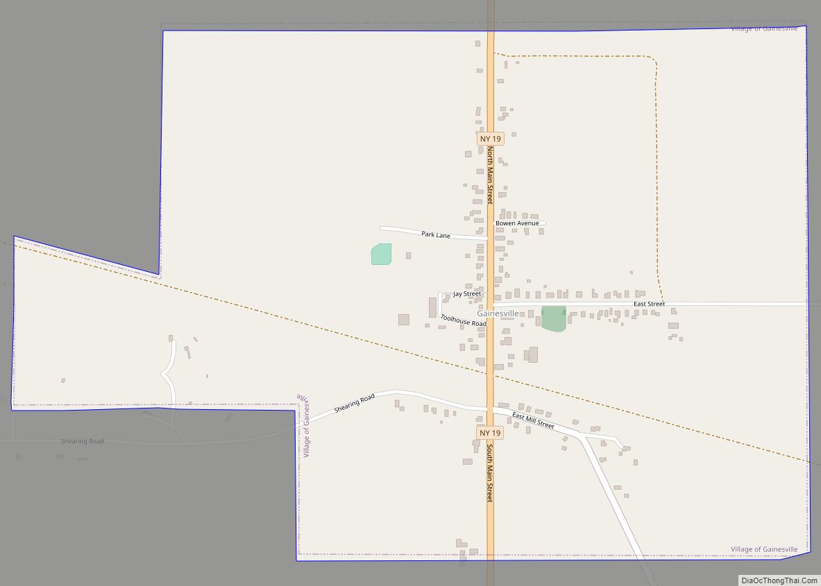
Silver Springs Road Map
Silver Springs city Satellite Map
See also
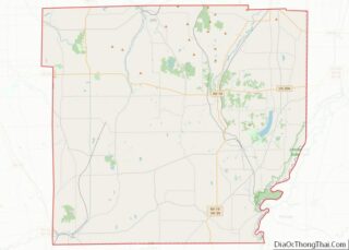
Map of New York State and its subdivision:- Albany
- Allegany
- Bronx
- Broome
- Cattaraugus
- Cayuga
- Chautauqua
- Chemung
- Chenango
- Clinton
- Columbia
- Cortland
- Delaware
- Dutchess
- Erie
- Essex
- Franklin
- Fulton
- Genesee
- Greene
- Hamilton
- Herkimer
- Jefferson
- Kings
- Lake Ontario
- Lewis
- Livingston
- Madison
- Monroe
- Montgomery
- Nassau
- New York
- Niagara
- Oneida
- Onondaga
- Ontario
- Orange
- Orleans
- Oswego
- Otsego
- Putnam
- Queens
- Rensselaer
- Richmond
- Rockland
- Saint Lawrence
- Saratoga
- Schenectady
- Schoharie
- Schuyler
- Seneca
- Steuben
- Suffolk
- Sullivan
- Tioga
- Tompkins
- Ulster
- Warren
- Washington
- Wayne
- Westchester
- Wyoming
- Yates
- Alabama
- Alaska
- Arizona
- Arkansas
- California
- Colorado
- Connecticut
- Delaware
- District of Columbia
- Florida
- Georgia
- Hawaii
- Idaho
- Illinois
- Indiana
- Iowa
- Kansas
- Kentucky
- Louisiana
- Maine
- Maryland
- Massachusetts
- Michigan
- Minnesota
- Mississippi
- Missouri
- Montana
- Nebraska
- Nevada
- New Hampshire
- New Jersey
- New Mexico
- New York
- North Carolina
- North Dakota
- Ohio
- Oklahoma
- Oregon
- Pennsylvania
- Rhode Island
- South Carolina
- South Dakota
- Tennessee
- Texas
- Utah
- Vermont
- Virginia
- Washington
- West Virginia
- Wisconsin
- Wyoming