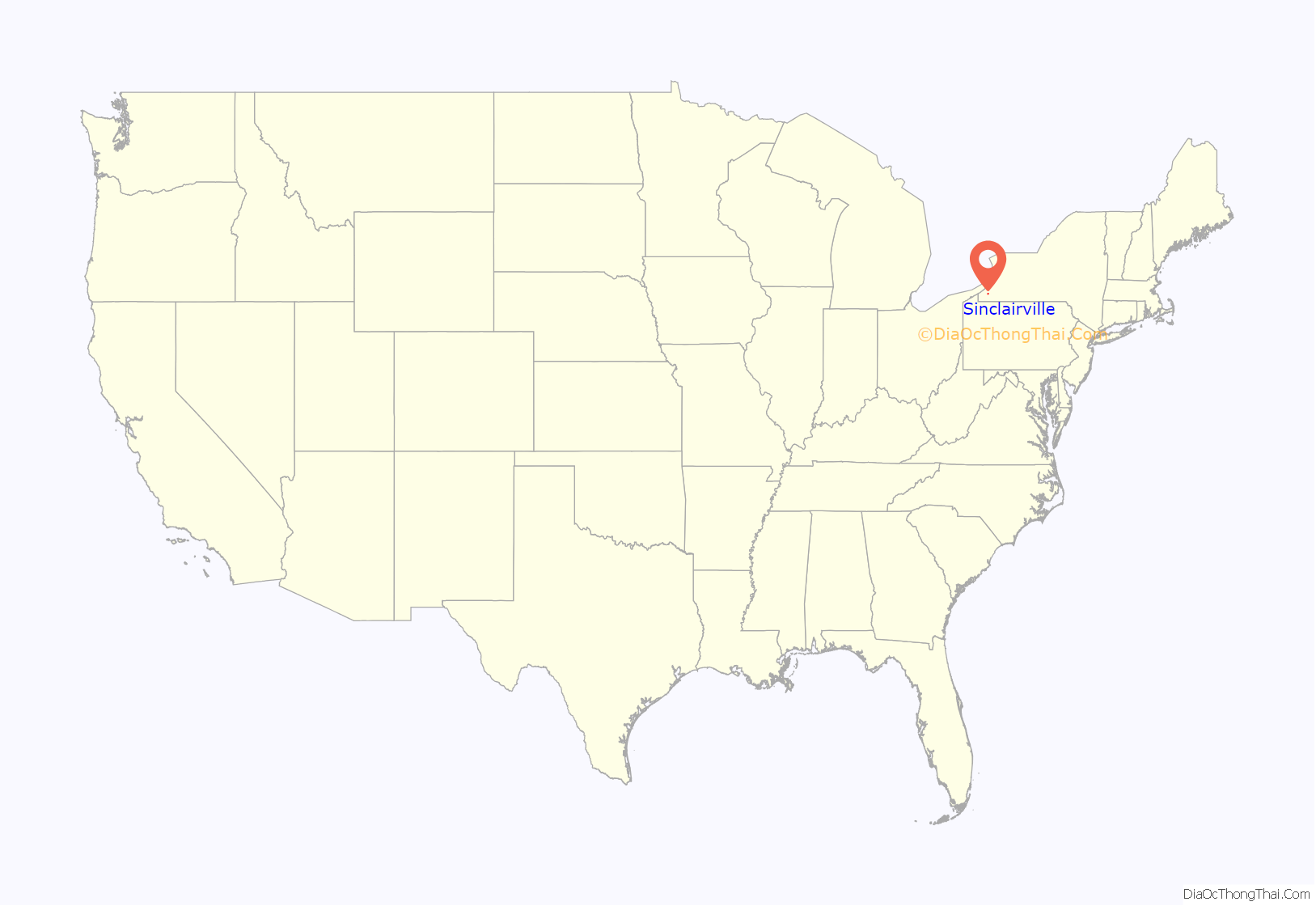
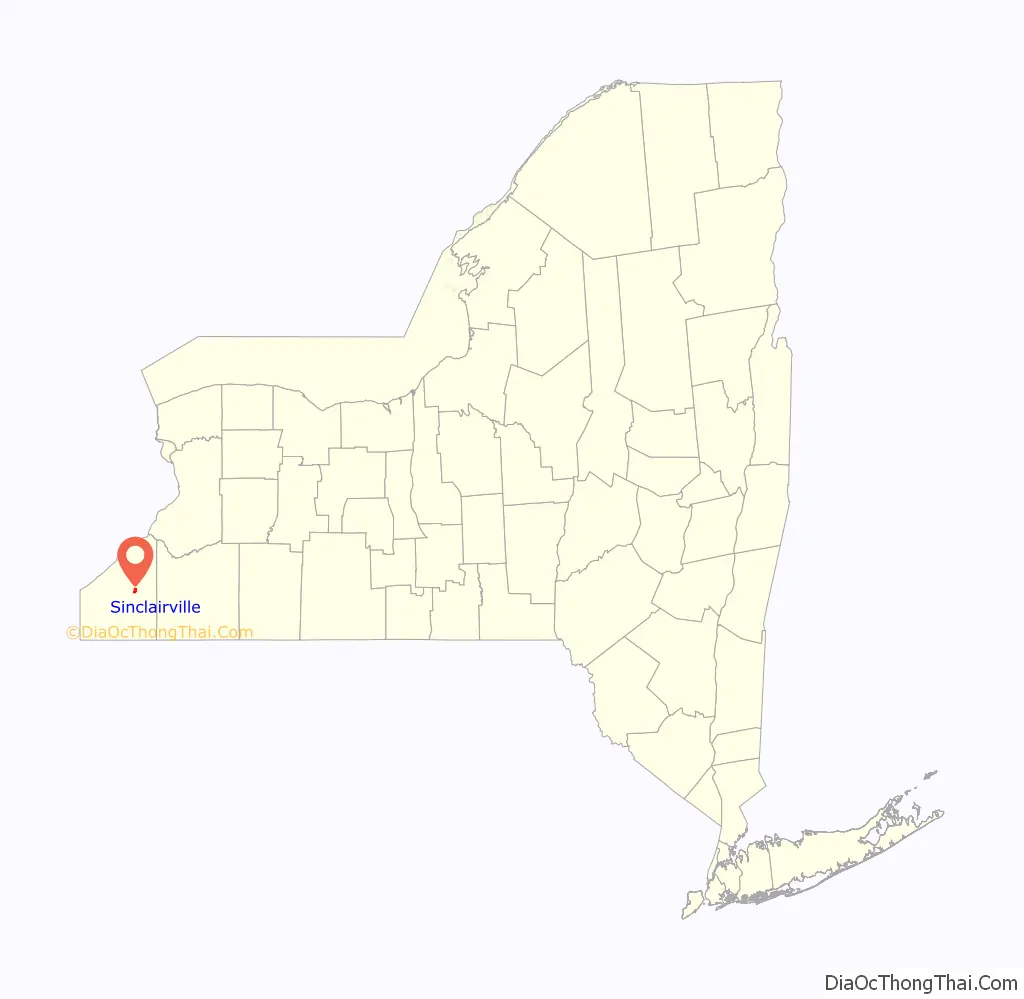
Sinclairville is a village in Chautauqua County, New York, United States. The population was 578 at the 2020 census. The village is named after Major Samuel Sinclear, its founder. Sinclairville is north of Jamestown and is on the border of the towns of Charlotte and Gerry.
| Name: | Sinclairville village |
|---|---|
| LSAD Code: | 47 |
| LSAD Description: | village (suffix) |
| State: | New York |
| County: | Chautauqua County |
| Elevation: | 1,401 ft (427 m) |
| Total Area: | 1.62 sq mi (4.21 km²) |
| Land Area: | 1.62 sq mi (4.21 km²) |
| Water Area: | 0.00 sq mi (0.00 km²) |
| Total Population: | 579 |
| Population Density: | 356.53/sq mi (137.68/km²) |
| ZIP code: | 14782 |
| Area code: | 716 |
| FIPS code: | 3667488 |
| GNISfeature ID: | 0965303 |
| Website: | sinclairvilleny.org |
Online Interactive Map
Click on ![]() to view map in "full screen" mode.
to view map in "full screen" mode.
Sinclairville location map. Where is Sinclairville village?
History
The village was founded in 1809 after the American Revolutionary War by Major Samuel Sinclear as “Sinclearville”. The area was previously inhabited for hundreds of years by the Seneca people of the Iroquois Confederacy (Haudenosaunee) who, as allies of the British during the war, were forced to cede most of their lands to the United States and New York state. Most of the Iroquois migrated to Upper Canada, where they were given lands by the Crown.
The village of Sinclairville was incorporated in 1887. Sinclairville calls itself “The Heart of Chautauqua County”.
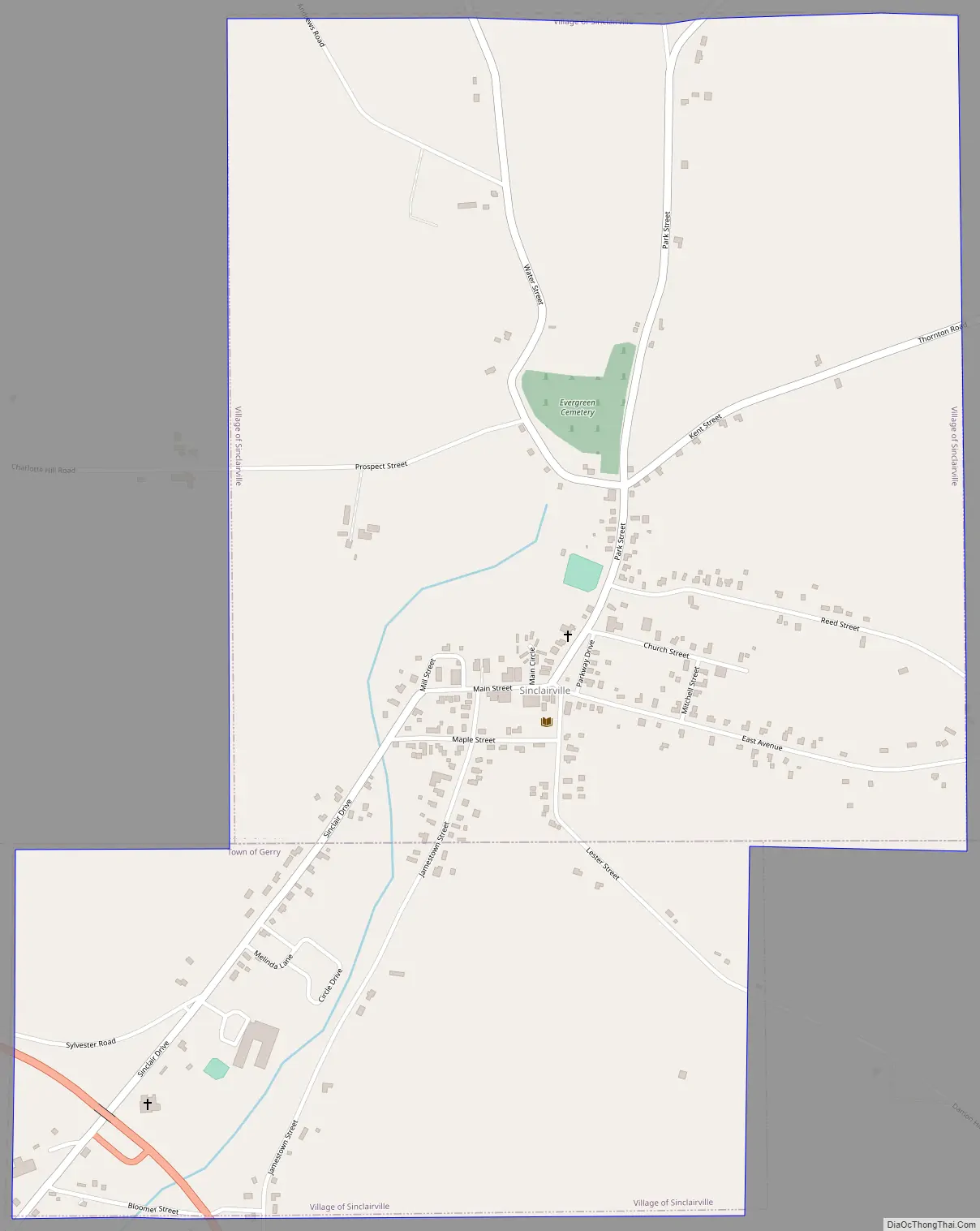
Sinclairville Road Map
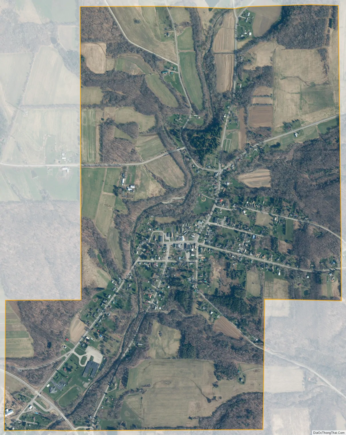
Sinclairville city Satellite Map
Geography
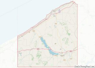
Sinclairville is located in east-central Chautauqua County at 42°15′44″N 79°15′43″W / 42.26222°N 79.26194°W / 42.26222; -79.26194 (42.262227, -79.261975). The center of the village, along with approximately two-thirds of its area, are in the town of Charlotte, while the southern third is in the town of Gerry.
According to the United States Census Bureau, the village has a total area of 1.6 square miles (4.2 km), all land.
Mill Creek, a tributary of Cassadaga Creek, runs through the town. Via Cassadaga Creek and then Conewango Creek, the village is part of the Allegheny River watershed.
The village is at the intersection of County Roads 64, 66 and 77. Jamestown on Chautauqua Lake is 12 miles (19 km) to the south, and Dunkirk on Lake Erie is 18 miles (29 km) to the north.
See also
Map of New York State and its subdivision:- Albany
- Allegany
- Bronx
- Broome
- Cattaraugus
- Cayuga
- Chautauqua
- Chemung
- Chenango
- Clinton
- Columbia
- Cortland
- Delaware
- Dutchess
- Erie
- Essex
- Franklin
- Fulton
- Genesee
- Greene
- Hamilton
- Herkimer
- Jefferson
- Kings
- Lake Ontario
- Lewis
- Livingston
- Madison
- Monroe
- Montgomery
- Nassau
- New York
- Niagara
- Oneida
- Onondaga
- Ontario
- Orange
- Orleans
- Oswego
- Otsego
- Putnam
- Queens
- Rensselaer
- Richmond
- Rockland
- Saint Lawrence
- Saratoga
- Schenectady
- Schoharie
- Schuyler
- Seneca
- Steuben
- Suffolk
- Sullivan
- Tioga
- Tompkins
- Ulster
- Warren
- Washington
- Wayne
- Westchester
- Wyoming
- Yates
- Alabama
- Alaska
- Arizona
- Arkansas
- California
- Colorado
- Connecticut
- Delaware
- District of Columbia
- Florida
- Georgia
- Hawaii
- Idaho
- Illinois
- Indiana
- Iowa
- Kansas
- Kentucky
- Louisiana
- Maine
- Maryland
- Massachusetts
- Michigan
- Minnesota
- Mississippi
- Missouri
- Montana
- Nebraska
- Nevada
- New Hampshire
- New Jersey
- New Mexico
- New York
- North Carolina
- North Dakota
- Ohio
- Oklahoma
- Oregon
- Pennsylvania
- Rhode Island
- South Carolina
- South Dakota
- Tennessee
- Texas
- Utah
- Vermont
- Virginia
- Washington
- West Virginia
- Wisconsin
- Wyoming